
Photo: Copernicus Sentinel-2, ESA · CC BY-SA 3.0 igo · Wikimedia Commons
Lake of the Woods, MinnesotaReport this photo · linked, not stored
Lake of the Woods, MinnesotaReport this photo · linked, not stored
LakeWarroad, Minnesota
Lake of the Woods, Minnesota
Lake1,056 ft elevationBest Jul–Sep
Elevation1,056 ftabove sea level
Area4,350 km²surface
Nearest townWarroad13 mi
49.09° N, 95.24° WElevation 1,056 ftUTC−5 · Central Daylight Time
When to goWarroad · weather score
Best timeJul–Sep
October: high / low51° / 32°
Lake
Lake of the Woods, Minnesota in brief
Lake of the Woods, Minnesota is a lake in Warroad, Minnesota, United States.
It lies at 1,056 ft above sea level and covers about 4,350 km².
The nearest town in the atlas is Warroad, 13 mi to the S, where the weather is best in July, August and September.
Weather nearby now
Forecast for Warroad45°
Sunny now
Today
22 Oct
63°
38°
Fri
23 Oct
66°
48°
Sat
24 Oct
60°
39°
0.0 in
Sun
25 Oct
49°
32°
Mon
26 Oct
44°
29°
Model run 00:00 UTCRefreshed several times a day
The lake's water
Surface, average depth and volume of the lake, and the length of its shore.Surface4,350 km²
Average depth35 ft
Volume37.0 km³
Shoreline3217 mi
When to go
Climate of WarroadThe best months around Lake of the Woods, Minnesota
Month score in Warroad
Comfort, dry days and sunshine · out of 10037
Jan
40
Feb
36
Mar
35
Apr
57
May
64
Jun
67
Jul
71
Aug
69
Sep
30
Oct
34
Nov
33
Dec
Map
Lake of the Woods, Minnesota from above
Nature nearbyAll of the United States




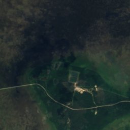
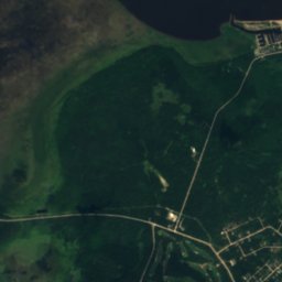
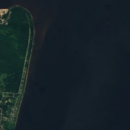
Satellite: Sentinel-2 cloudless 2016 by EOX IT Services GmbH · CC BY 4.0 · Contains modified Copernicus Sentinel data 2016
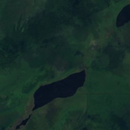
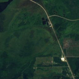
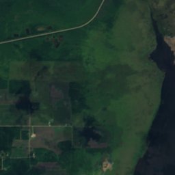

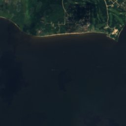
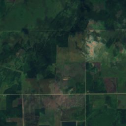
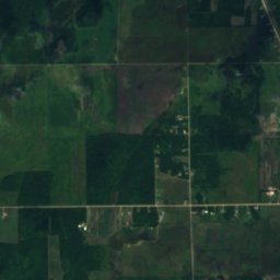
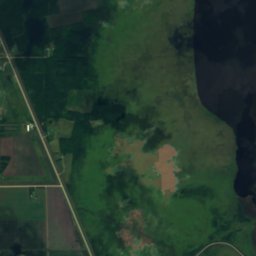


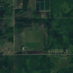
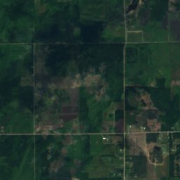
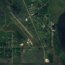
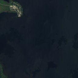

Satellite: Sentinel-2 cloudless 2016 by EOX IT Services GmbH · CC BY 4.0 · Contains modified Copernicus Sentinel data 2016











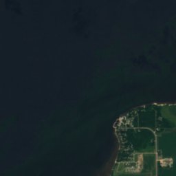
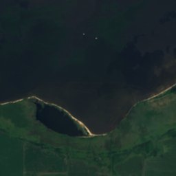
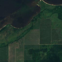
Satellite: Sentinel-2 cloudless 2016 by EOX IT Services GmbH · CC BY 4.0 · Contains modified Copernicus Sentinel data 2016
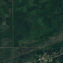
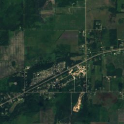
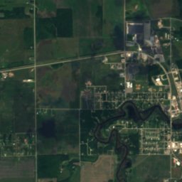
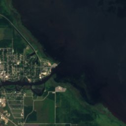

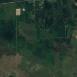
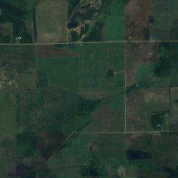
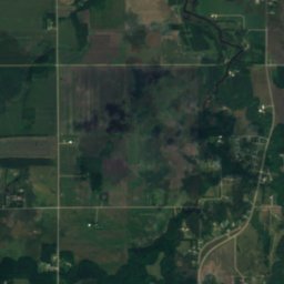
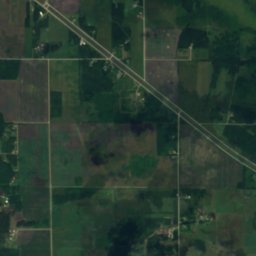
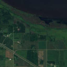
Satellite: Sentinel-2 cloudless 2016 by EOX IT Services GmbH · CC BY 4.0 · Contains modified Copernicus Sentinel data 2016
Stay nearby
Towns close by


Around here
Warroad and around
Nature
Satellite: Sentinel-2 cloudless 2016 by EOX IT Services GmbH · CC BY 4.0 · Contains modified Copernicus Sentinel data 2016
Warroad River
River
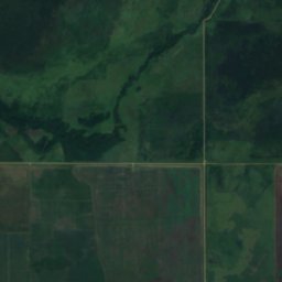


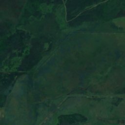
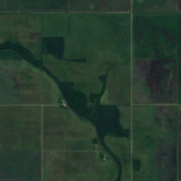

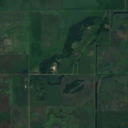
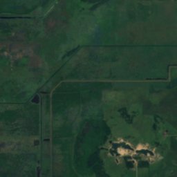
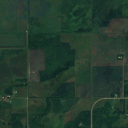
Satellite: Sentinel-2 cloudless 2016 by EOX IT Services GmbH · CC BY 4.0 · Contains modified Copernicus Sentinel data 2016
Lost River (Roseau River tributary)
River
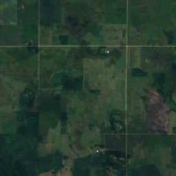
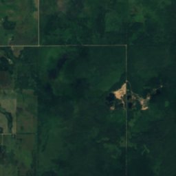
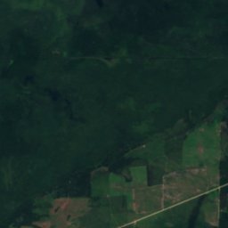
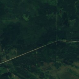
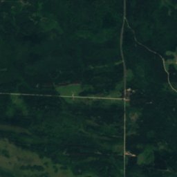
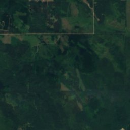
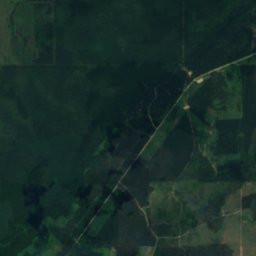
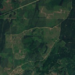
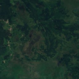
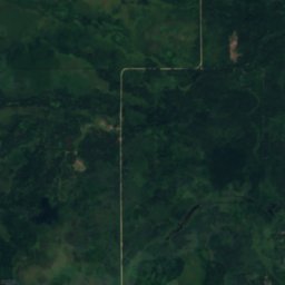
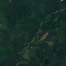
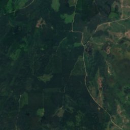
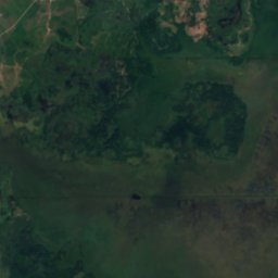
Satellite: Sentinel-2 cloudless 2016 by EOX IT Services GmbH · CC BY 4.0 · Contains modified Copernicus Sentinel data 2016
Mud Lake, Warroad
Lake · 1,207 ft
Heritage




Satellite: Sentinel-2 cloudless 2016 by EOX IT Services GmbH · CC BY 4.0 · Contains modified Copernicus Sentinel data 2016
Canadian National Depot
National Register of Historic Places listed place