
RiverWauzeka, Wisconsin
Kickapoo River
River623 ft elevationBest May · Sep–Oct
Elevation623 ftabove sea level
Area–surface
Nearest townWauzeka0.6 mi
43.08° N, 90.88° WElevation 623 ftUTC−5 · Central Daylight Time
When to goWauzeka · weather score
Best timeMay · Sep–Oct
October: high / low61° / 40°
River
Kickapoo River in brief
Kickapoo River is a river in Wauzeka, Wisconsin, United States.
It lies at 623 ft above sea level.
The nearest town is Wauzeka, 0.6 mi to the N, where the weather is best in May, September and October.
Weather nearby now
Forecast for Wauzeka39°
Partly cloudy now
Today
30 Oct
57°
36°
Sat
31 Oct
59°
46°
0.2 in
Sun
1 Nov
69°
46°
0.1 in
Mon
2 Nov
61°
51°
0.2 in
Tue
3 Nov
67°
52°
0.8 in
Model run 12:00 UTCRefreshed several times a day
The course of the river
As mapped in OpenStreetMap, with the towns along its banks.- 1Wauzeka659 ft
sourcemouth (or where the mapped line leaves the country)
When to go
Climate of WauzekaThe best months around Kickapoo River
Month score in Wauzeka
Comfort, dry days and sunshine · out of 10038
Jan
38
Feb
32
Mar
53
Apr
64
May
58
Jun
55
Jul
61
Aug
76
Sep
66
Oct
37
Nov
35
Dec
Map
Kickapoo River from above
Nature nearbyAll of the United States
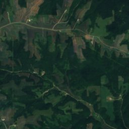
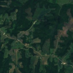
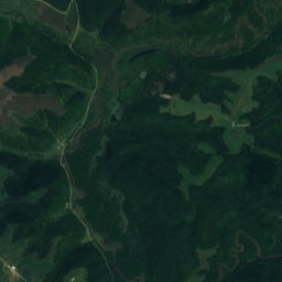
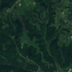
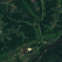
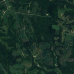
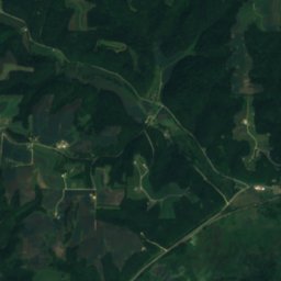
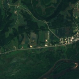
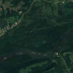
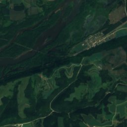
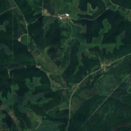
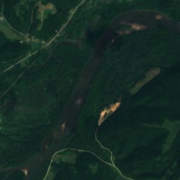
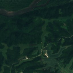
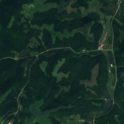
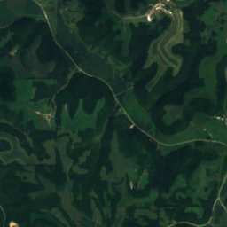
Satellite: Sentinel-2 cloudless 2016 by EOX IT Services GmbH · CC BY 4.0 · Contains modified Copernicus Sentinel data 2016
Satellite: Sentinel-2 cloudless 2016 by EOX IT Services GmbH · CC BY 4.0 · Contains modified Copernicus Sentinel data 2016
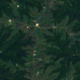
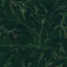
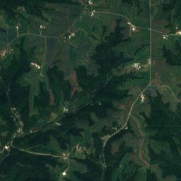
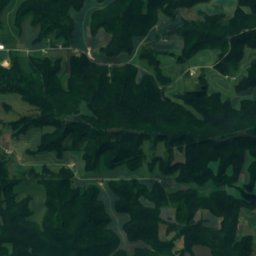
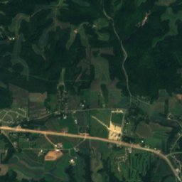
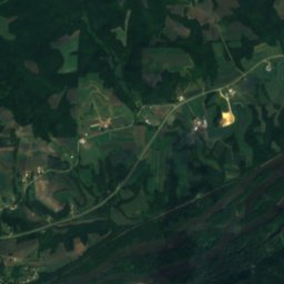
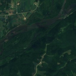
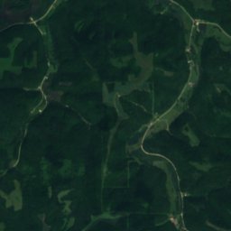
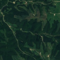
Satellite: Sentinel-2 cloudless 2016 by EOX IT Services GmbH · CC BY 4.0 · Contains modified Copernicus Sentinel data 2016
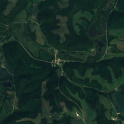
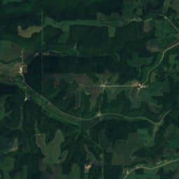
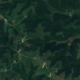
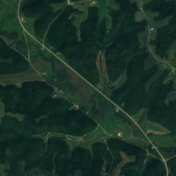
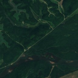
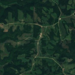
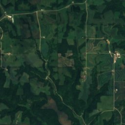
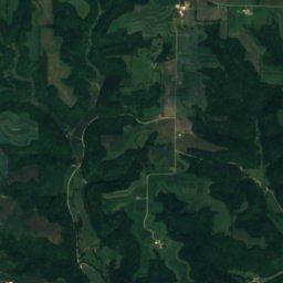
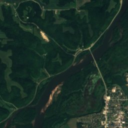
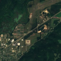
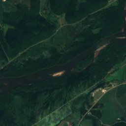
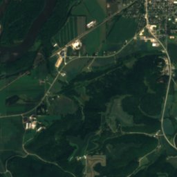
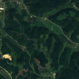
Satellite: Sentinel-2 cloudless 2016 by EOX IT Services GmbH · CC BY 4.0 · Contains modified Copernicus Sentinel data 2016
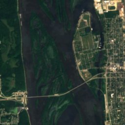
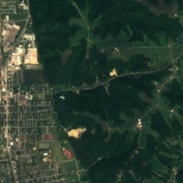
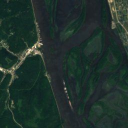
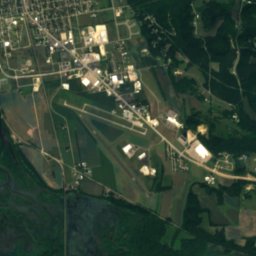
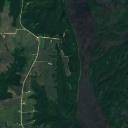
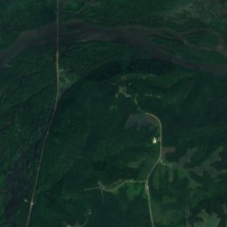
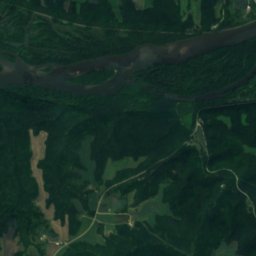
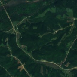
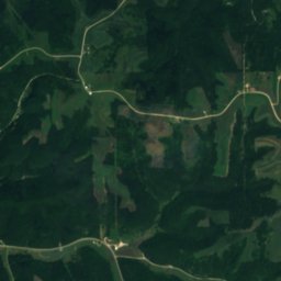
Satellite: Sentinel-2 cloudless 2016 by EOX IT Services GmbH · CC BY 4.0 · Contains modified Copernicus Sentinel data 2016
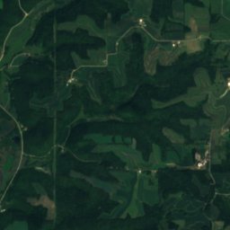
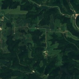
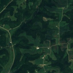
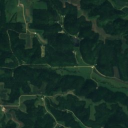
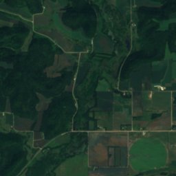
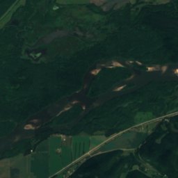
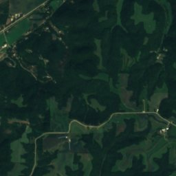
Satellite: Sentinel-2 cloudless 2016 by EOX IT Services GmbH · CC BY 4.0 · Contains modified Copernicus Sentinel data 2016


Around here
Wauzeka and around
Nature

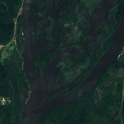
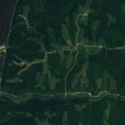
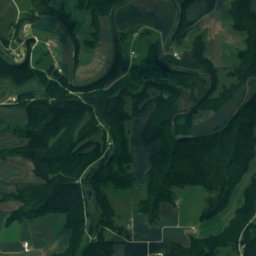
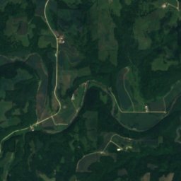
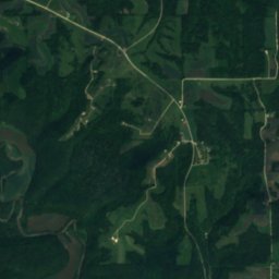
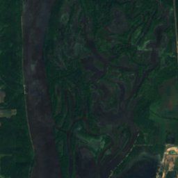
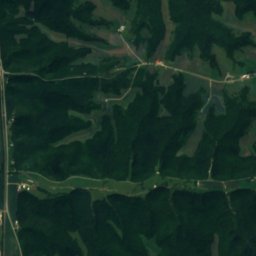
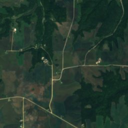
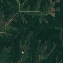
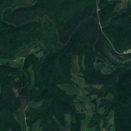
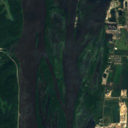
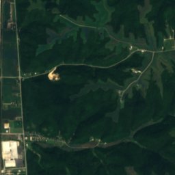
Satellite: Sentinel-2 cloudless 2016 by EOX IT Services GmbH · CC BY 4.0 · Contains modified Copernicus Sentinel data 2016
Yellow River, Iowa
River
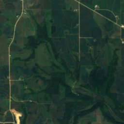
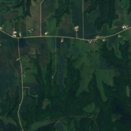
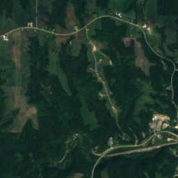
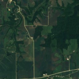
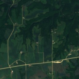
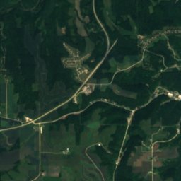


Satellite: Sentinel-2 cloudless 2016 by EOX IT Services GmbH · CC BY 4.0 · Contains modified Copernicus Sentinel data 2016
Bloody Run, Iowa
River · 620 ft