
Photo: Everglades NPS from Homestead, Florida, United States · Public domain · Wikimedia Commons
Everglades National ParkReport this photo · linked, not stored
Everglades National ParkReport this photo · linked, not stored
National parkFlorida City, Florida
Everglades National Park
National parkBest Jan–Feb · Dec
Elevation–above sea level
Area6,105 km²surface
Nearest townFlorida City16 mi
25.31° N, 80.69° WUTC−4 · Eastern Daylight Time
When to goFlorida City · weather score
Best timeJan–Feb · Dec
October: high / low87° / 72°
National park
Everglades National Park in brief
Everglades National Park is a national park in Florida City, Florida, United States.
It covers about 6,105 km².
The nearest town in the atlas is Florida City, 16 mi to the NE, where the weather is best in January, February and December.
Weather nearby now
Forecast for Florida City80°
Showers now
Today
22 Oct
84°
67°
0.1 in
Fri
23 Oct
82°
67°
0.1 in
Sat
24 Oct
82°
67°
0.1 in
Sun
25 Oct
84°
66°
0.1 in
Mon
26 Oct
82°
69°
0.3 in
Model run 00:00 UTCRefreshed several times a day
When to go
Climate of Florida CityThe best months around Everglades National Park
Month score in Florida City
Comfort, dry days and sunshine · out of 10083
Jan
80
Feb
71
Mar
60
Apr
42
May
33
Jun
31
Jul
30
Aug
31
Sep
44
Oct
65
Nov
76
Dec
Map
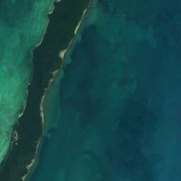
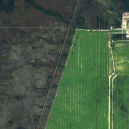
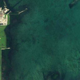
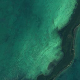
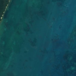
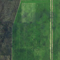
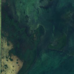
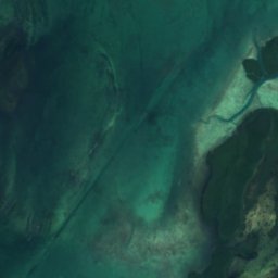
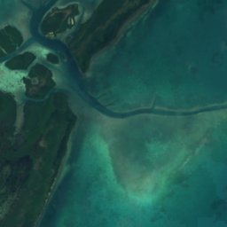
Everglades National Park from above
Nature nearbyAll of the United States
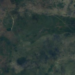
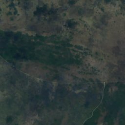
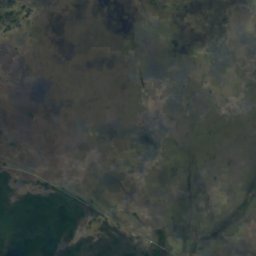
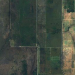
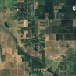
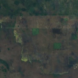
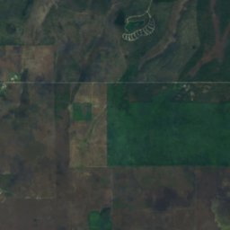
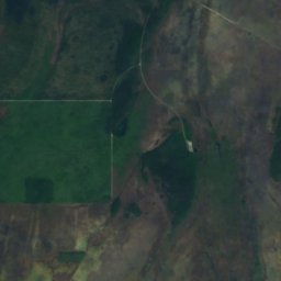
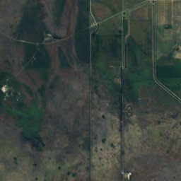
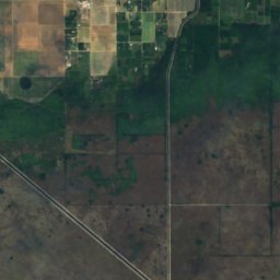
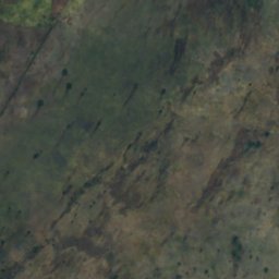
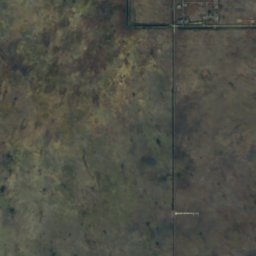
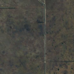
Satellite: Sentinel-2 cloudless 2016 by EOX IT Services GmbH · CC BY 4.0 · Contains modified Copernicus Sentinel data 2016
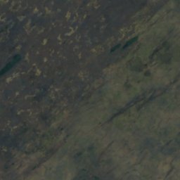
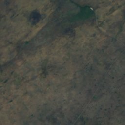
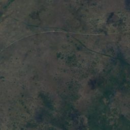
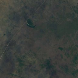
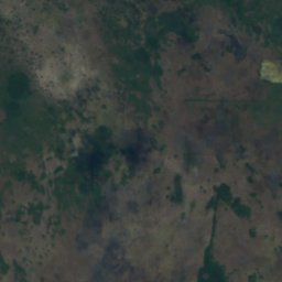
Satellite: Sentinel-2 cloudless 2016 by EOX IT Services GmbH · CC BY 4.0 · Contains modified Copernicus Sentinel data 2016
Satellite: Sentinel-2 cloudless 2016 by EOX IT Services GmbH · CC BY 4.0 · Contains modified Copernicus Sentinel data 2016
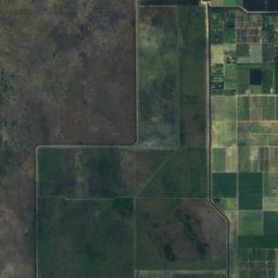
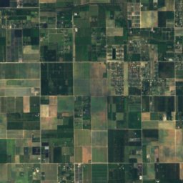
Satellite: Sentinel-2 cloudless 2016 by EOX IT Services GmbH · CC BY 4.0 · Contains modified Copernicus Sentinel data 2016
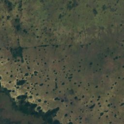
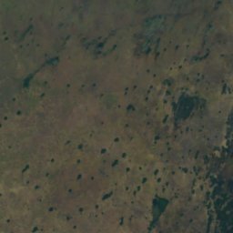
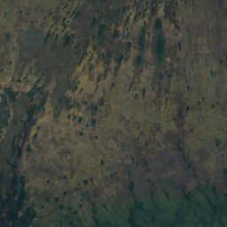
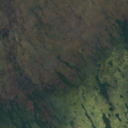
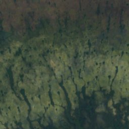
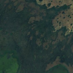
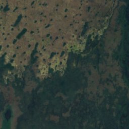
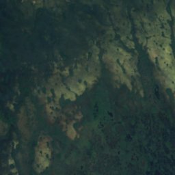
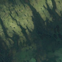
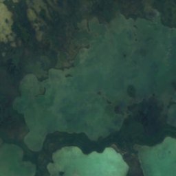
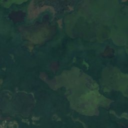
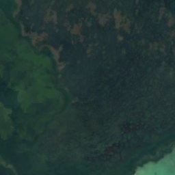
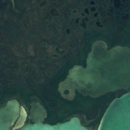
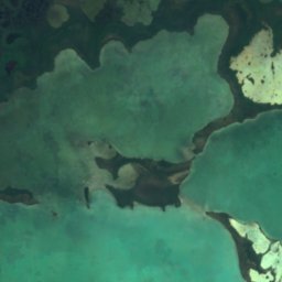
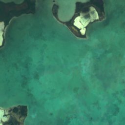
Satellite: Sentinel-2 cloudless 2016 by EOX IT Services GmbH · CC BY 4.0 · Contains modified Copernicus Sentinel data 2016
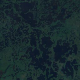
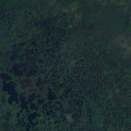
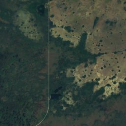
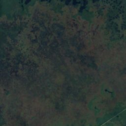
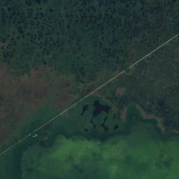
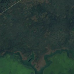
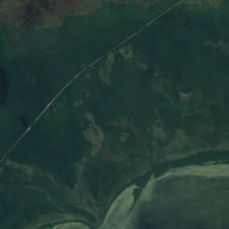
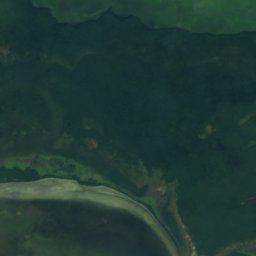
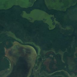
Satellite: Sentinel-2 cloudless 2016 by EOX IT Services GmbH · CC BY 4.0 · Contains modified Copernicus Sentinel data 2016
Stay nearby
Towns close by


Around here
Florida City and around
Nature
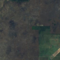
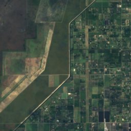
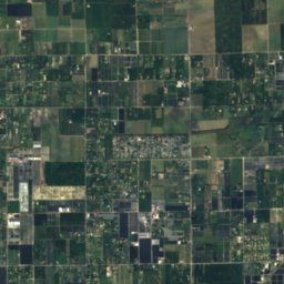
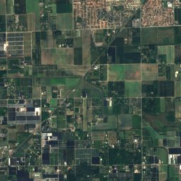
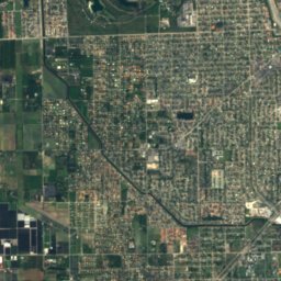
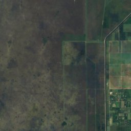
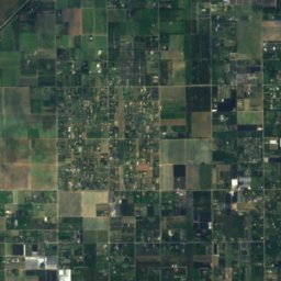
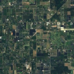
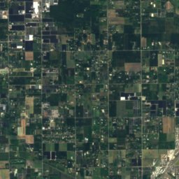
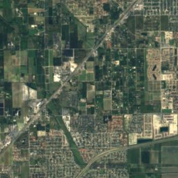
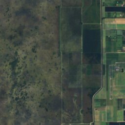
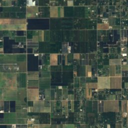
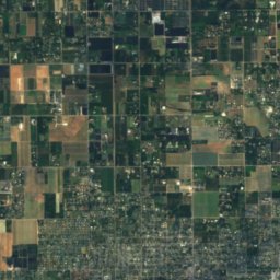
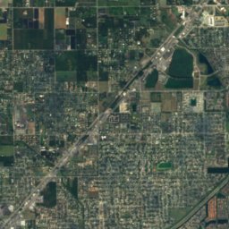
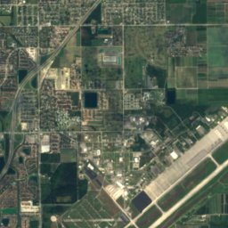
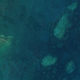
Satellite: Sentinel-2 cloudless 2016 by EOX IT Services GmbH · CC BY 4.0 · Contains modified Copernicus Sentinel data 2016
Bauer Drive Hammock
Island · 13 ft

Photo: Photo by National Park Service South Florida / Caribbean Network · Public domain · Wikimedia CommonsReport this photo · linked, not stored
Totten Key
Island



Heritage

Homestead Town Hall
National Register of Historic Places listed place · 1917

Neva King Cooper Educational Center
National Register of Historic Places listed place

Homestead Historic Downtown District
National Register of Historic Places listed place
Museums


Photo: Everglades NPS from Homestead, Florida, United States · Public domain · Wikimedia CommonsReport this photo · linked, not stored

Ernest F. Coe Visitor Center
National Park Service visitor center


Dante Fascell Visitor Center
National Park Service visitor center