
Photo: Smallbones at en.wikipedia · Public domain · Wikimedia Commons
Cobbs CreekReport this photo · linked, not stored
Cobbs CreekReport this photo · linked, not stored

Photo: Editorofthewiki · CC BY-SA 4.0 · Wikimedia Commons
Naylors RunReport this photo · linked, not stored
Naylors RunNaylors RunReport this photo · linked, not stored

Photo: Photo by and (c)2006 Derek Ramsey (Ram-Man) · CC BY-SA 2.5 · Wikimedia Commons
Ebright AzimuthReport this photo · linked, not stored
Ebright AzimuthEbright AzimuthReport this photo · linked, not stored
RiverColwyn, Pennsylvania
Cobbs Creek
RiverBest Apr · Sep–Oct
Elevation–above sea level
Length11 misource to mouth
Nearest townColwyn0.4 mi
39.91° N, 75.25° WUTC−4 · Eastern Daylight Time
When to goColwyn · weather score
Best timeApr · Sep–Oct
October: high / low67° / 47°
River
Cobbs Creek in brief
Cobbs Creek is a river in Colwyn, Pennsylvania, United States.
The nearest town in the atlas is Colwyn, 0.4 mi to the N, where the weather is best in April, September and October.
Cobbs Creek is 11 mi long.
Weather nearby now
Forecast for Colwyn58°
Sunny now
Today
22 Oct
68°
43°
Fri
23 Oct
60°
45°
Sat
24 Oct
61°
38°
Sun
25 Oct
64°
38°
Mon
26 Oct
69°
42°
Model run 00:00 UTCRefreshed several times a day
When to go
Climate of ColwynThe best months around Cobbs Creek
Month score in Colwyn
Comfort, dry days and sunshine · out of 10034
Jan
32
Feb
38
Mar
71
Apr
68
May
51
Jun
42
Jul
49
Aug
72
Sep
77
Oct
55
Nov
31
Dec
Map
Cobbs Creek from above
Nature nearbyAll of the United States
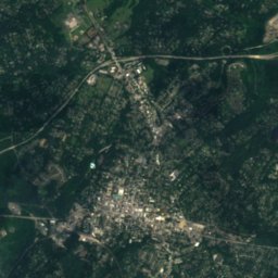
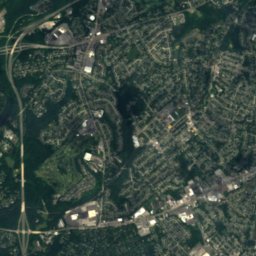
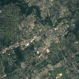
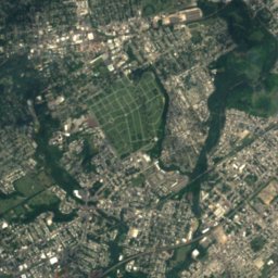
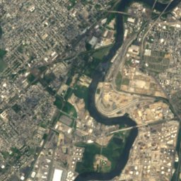
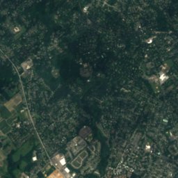
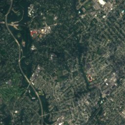
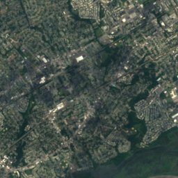
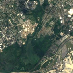
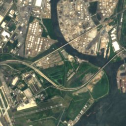
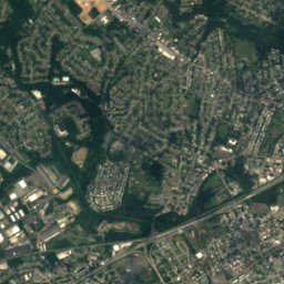
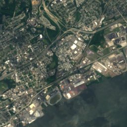


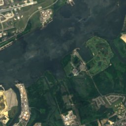
Satellite: Sentinel-2 cloudless 2016 by EOX IT Services GmbH · CC BY 4.0 · Contains modified Copernicus Sentinel data 2016
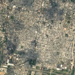

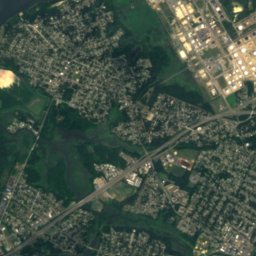
Satellite: Sentinel-2 cloudless 2016 by EOX IT Services GmbH · CC BY 4.0 · Contains modified Copernicus Sentinel data 2016
Satellite: Sentinel-2 cloudless 2016 by EOX IT Services GmbH · CC BY 4.0 · Contains modified Copernicus Sentinel data 2016
Satellite: Sentinel-2 cloudless 2016 by EOX IT Services GmbH · CC BY 4.0 · Contains modified Copernicus Sentinel data 2016
Satellite: Sentinel-2 cloudless 2016 by EOX IT Services GmbH · CC BY 4.0 · Contains modified Copernicus Sentinel data 2016

Summits nearbyMountains of the United States

Photo: Photo by and (c)2006 Derek Ramsey (Ram-Man) · CC BY-SA 2.5 · Wikimedia CommonsReport this photo · linked, not stored
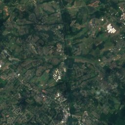
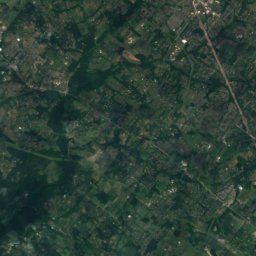
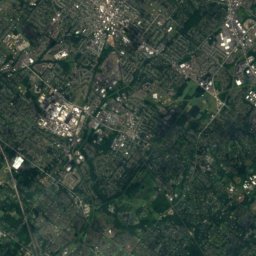
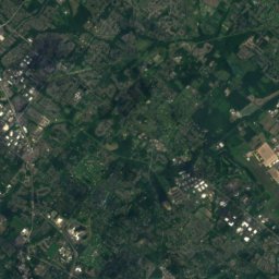
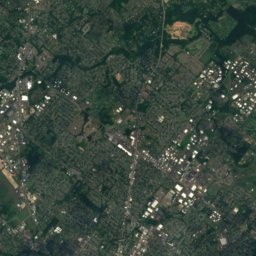
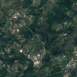
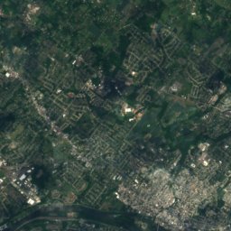
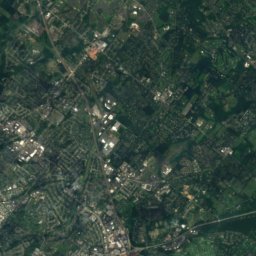
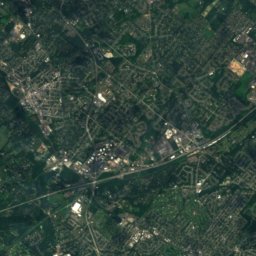
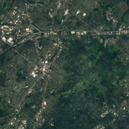
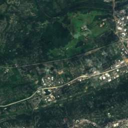
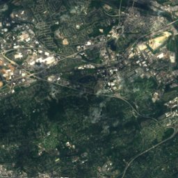
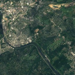
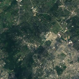
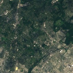
Satellite: Sentinel-2 cloudless 2016 by EOX IT Services GmbH · CC BY 4.0 · Contains modified Copernicus Sentinel data 2016
Stay nearby
Towns close by


Photo: Smallbones at en.wikipedia · Public domain · Wikimedia CommonsReport this photo · linked, not stored
Darby
Pennsylvania · 0.9 mi N
67°Oct high
9wet days
77score


Around here
Colwyn and around
Nature


Mountains
Photo: Photo by and (c)2006 Derek Ramsey (Ram-Man) · CC BY-SA 2.5 · Wikimedia CommonsReport this photo · linked, not stored
Ebright Azimuth
449 ft · Appalachian Mountains
Satellite: Sentinel-2 cloudless 2016 by EOX IT Services GmbH · CC BY 4.0 · Contains modified Copernicus Sentinel data 2016
Lafayette Hill
276 ft
Heritage


Thomas Buchanan Read School
National Register of Historic Places listed place
Photo: Smallbones at en.wikipedia · Public domain · Wikimedia CommonsReport this photo · linked, not stored
Darby Meeting
National Register of Historic Places listed place · 1805
Museums

Simeone Foundation Automotive Museum
Automobile museum · 2008


