Skip to content
Destinations
Weather & climate
Nature
Outdoors
Culture
Events
Sky & live
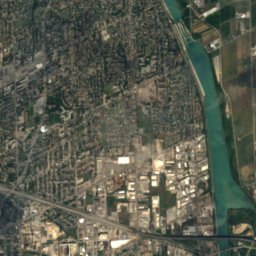
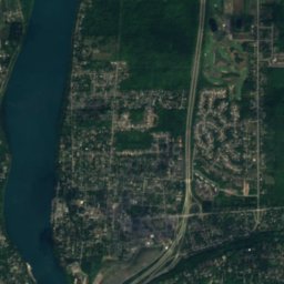
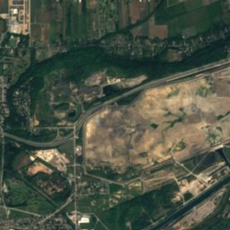
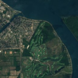
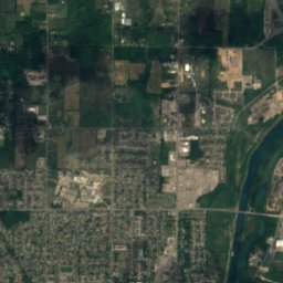
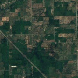
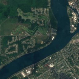
Satellite: Sentinel-2 cloudless 2016 by EOX IT Services GmbH · CC BY 4.0 · Contains modified Copernicus Sentinel data 2016
Green Island, Niagara Falls
Photo: Idawriter · CC BY-SA 3.0 · Wikimedia Commons
Green Island, Niagara FallsReport this photo · linked, not stored
Green Island, Niagara Falls
American Falls, New York
Photo: Ad Meskens · CC BY-SA 3.0 · Wikimedia Commons
American Falls, New YorkReport this photo · linked, not stored
American Falls, New York
Goat Island, New York
Photo: Daniel Mayer · CC BY-SA 2.5 · Wikimedia Commons
Goat Island, New YorkReport this photo · linked, not stored
Goat Island, New York
IslandNiagara Falls, New York

Bird Island, Niagara Falls

Island509 ft elevationBest May–Jun · Sep
Elevation509 ftabove sea level
Area–surface
Nearest townNiagara Falls1.0 mi
43.08° N, 79.07° WElevation 509 ftUTC−4 · Eastern Daylight Time
When to goNiagara Falls · weather score
JanFebMarAprMayJunJulAugSepOctNovDec51October
Best timeMay–Jun · Sep
October: high / low60° / 43°
Island

Bird Island, Niagara Falls in brief

Bird Island, Niagara Falls is an island in Niagara Falls, New York, United States.

It lies at 509 ft above sea level.

The nearest town in the atlas is Niagara Falls, 1.0 mi to the NE, where the weather is best in May, June and September.

Niagara Falls: weather and travel guide

Weather nearby now

Forecast for Niagara Falls
50°
Partly cloudy now
Wind4 km/h
Humidity88%
Cloud cover25%
Today
22 Oct
63°
35°
Fri
23 Oct
58°
38°
Sat
24 Oct
61°
35°
Sun
25 Oct
62°
40°
Mon
26 Oct
61°
43°

Model run 00:00 UTCRefreshed several times a day

When to go

The best months around Bird Island, Niagara Falls

Climate of Niagara Falls

Month score in Niagara Falls

Comfort, dry days and sunshine · out of 100
Map

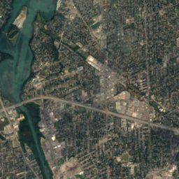
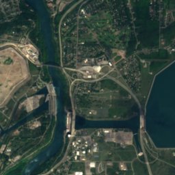
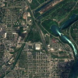
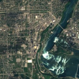
Bird Island, Niagara Falls from above

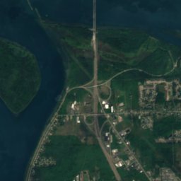
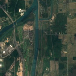
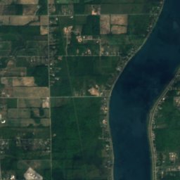
Satellite: Sentinel-2 cloudless 2016 by EOX IT Services GmbH · CC BY 4.0 · Contains modified Copernicus Sentinel data 2016
Luna IslandIsland0.1 miWLuna Island
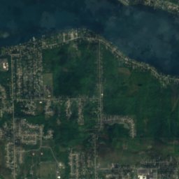
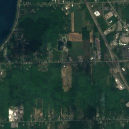
Satellite: Sentinel-2 cloudless 2016 by EOX IT Services GmbH · CC BY 4.0 · Contains modified Copernicus Sentinel data 2016
Robinson Island, New YorkIsland0.1 miNRobinson Island, New York
Photo: Idawriter · CC BY-SA 3.0 · Wikimedia CommonsReport this photo · linked, not stored
Green Island, Niagara FallsIsland0.1 miEGreen Island, Niagara Falls
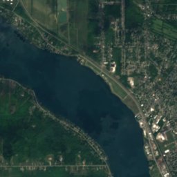
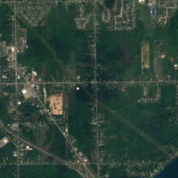
Satellite: Sentinel-2 cloudless 2016 by EOX IT Services GmbH · CC BY 4.0 · Contains modified Copernicus Sentinel data 2016
Bridal Veil Falls (Niagara Falls)Waterfall0.1 miWBridal Veil Falls (Niagara Falls)
Photo: Ad Meskens · CC BY-SA 3.0 · Wikimedia CommonsReport this photo · linked, not stored
American Falls, New YorkWaterfall0.1 miNWAmerican Falls, New York
Photo: Daniel Mayer · CC BY-SA 2.5 · Wikimedia CommonsReport this photo · linked, not stored
Goat Island, New YorkIsland0.2 miSEGoat Island, New York
Stay nearby

Towns close by

Niagara Falls
Photo: Nandaro · CC BY-SA 3.0 · Wikimedia CommonsReport this photo · linked, not stored

Niagara Falls

New York · 1.0 mi NE
60°Oct high
17wet days
51score
Niagara Falls
Niagara Falls
Photo: Jason Pratt · CC BY 2.0 · Wikimedia CommonsReport this photo · linked, not stored

Niagara Falls

Ontario · 1.9 km N
60°Oct high
17wet days
51score
Niagara Falls
Chippawa
Photo: Hannah Clover · CC BY-SA 3.0 · Wikimedia CommonsReport this photo · linked, not stored

Chippawa

Ontario · 3.4 km SE
60°Oct high
17wet days
51score
Chippawa
Queenston
Photo: Benson Lossing · Public domain · Wikimedia CommonsReport this photo · linked, not stored

Queenston

Ontario · 9.4 km N
61°Oct high
17wet days
53score
Queenston
Around here

Niagara Falls and around

Niagara Falls
Photo: Nandaro · CC BY-SA 3.0 · Wikimedia CommonsReport this photo · linked, not stored

Niagara Falls

New York · United States
May–Jun · Sepbest months
81°July high
614 ftaltitude
Niagara Falls

Nature

Niagara Falls
Photo: Robert F. Tobler · CC BY-SA 4.0 · Wikimedia CommonsReport this photo · linked, not stored
1.2 mi SW

Niagara Falls

Waterfall
Niagara Falls
Horseshoe Falls
Photo: Ujjwal Kumar · Public domain · Wikimedia CommonsReport this photo · linked, not stored
1.5 mi SW

Horseshoe Falls

Waterfall
Horseshoe Falls
American Falls, New York
Photo: Ad Meskens · CC BY-SA 3.0 · Wikimedia CommonsReport this photo · linked, not stored
0.9 mi SW

American Falls, New York

Waterfall · 315 ft
American Falls, New York

Heritage

Niagara Falls railway station
Photo: JustSomePics · CC BY-SA 3.0 · Wikimedia CommonsReport this photo · linked, not stored
1.0 mi N

Niagara Falls railway station

Heritage Railway Station of Canada · 1879
Niagara Falls railway station
United Office Building
Photo: Pubdog (talk) · Public domain · Wikimedia CommonsReport this photo · linked, not stored
0.6 mi SW

United Office Building

National Register of Historic Places listed place
United Office Building
First Unitarian Universalist Church of Niagara
Photo: Pubdog (talk) · Public domain · Wikimedia CommonsReport this photo · linked, not stored
0.1 mi N

First Unitarian Universalist Church of Niagara

National Register of Historic Places listed place
First Unitarian Universalist Church of Niagara

Museums

Satellite: Sentinel-2 cloudless 2016 by EOX IT Services GmbH · CC BY 4.0 · Contains modified Copernicus Sentinel data 2016
1.0 mi W

Criminals Hall of Fame

Wax museum · 1977
Criminals Hall of Fame
Niagara Falls Underground Railroad Heritage Center
Photo: Kenneth C. Zirkel · CC BY 4.0 · Wikimedia CommonsReport this photo · linked, not stored
1.1 mi N

Niagara Falls Underground Railroad Heritage Center

2018
Niagara Falls Underground Railroad Heritage Center
Niagara Falls History Museum
Photo: Mhsheikholeslami · CC BY-SA 4.0 · Wikimedia CommonsReport this photo · linked, not stored
1.8 mi W

Niagara Falls History Museum

History museum
Niagara Falls History Museum