
Photo: Iridescenti · CC BY-SA 3.0 · Wikimedia Commons
WestbourneReport this photo · linked, not stored
WestbourneReport this photo · linked, not stored

Photo: Gryffindor · Public domain · Wikimedia Commons
St. James's Park LakeReport this photo · linked, not stored
St. James's Park LakeSt. James's Park LakeReport this photo · linked, not stored

Photo: The original uploader was Jamie101 at English Wikipedia. · CC BY-SA 2.5 · Wikimedia Commons
SerpentineReport this photo · linked, not stored
SerpentineSerpentineReport this photo · linked, not stored

Photo: Iridescenti · CC BY-SA 3.0 · Wikimedia Commons
The Long WaterReport this photo · linked, not stored
The Long WaterThe Long WaterReport this photo · linked, not stored
RiverCity of Westminster, England
Westbourne
RiverBest Jun · Aug–Sep
Elevation–above sea level
Area–surface
Nearest townCity of Westminster1.9 km
51.48° N, 0.15° WUTC+1 · British Summer Time
When to goCity of Westminster · weather score
Best timeJun · Aug–Sep
October: high / low16° / 9°
River
Westbourne in brief
Westbourne is a river in City of Westminster, England, United Kingdom — river in London, UK.
The nearest town in the atlas is City of Westminster, 1.9 km to the NE, where the weather is best in June, August and September.
Weather nearby now
Forecast for City of Westminster15°
Partly cloudy now
Today
22 Oct
15°
9°
3 mm
Fri
23 Oct
14°
9°
22 mm
Sat
24 Oct
17°
8°
21 mm
Sun
25 Oct
15°
10°
2 mm
Mon
26 Oct
17°
9°
6 mm
Model run 00:00 UTCRefreshed several times a day
Map
Westbourne from above
Nature nearbyAll of the United Kingdom
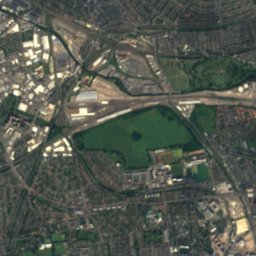
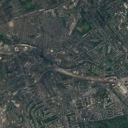
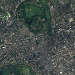
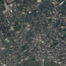
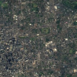
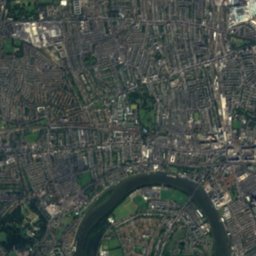
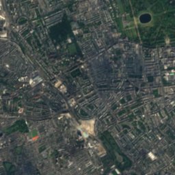
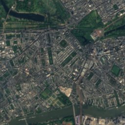
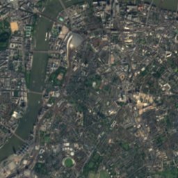
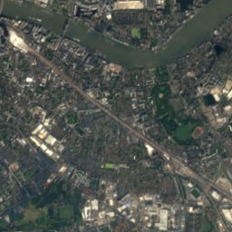
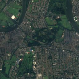
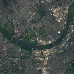
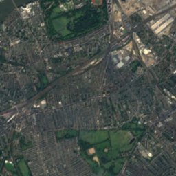
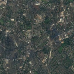
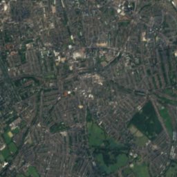
Satellite: Sentinel-2 cloudless 2016 by EOX IT Services GmbH · CC BY 4.0 · Contains modified Copernicus Sentinel data 2016
Satellite: Sentinel-2 cloudless 2016 by EOX IT Services GmbH · CC BY 4.0 · Contains modified Copernicus Sentinel data 2016


Photo: The original uploader was Jamie101 at English Wikipedia. · CC BY-SA 2.5 · Wikimedia CommonsReport this photo · linked, not stored
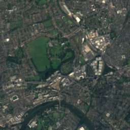
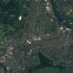
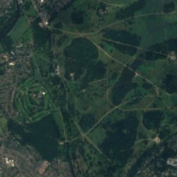
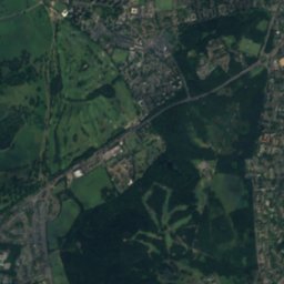
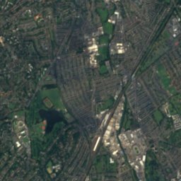
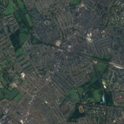
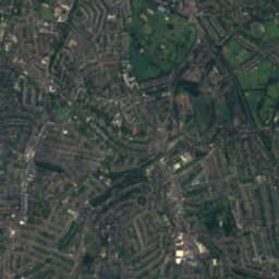
Satellite: Sentinel-2 cloudless 2016 by EOX IT Services GmbH · CC BY 4.0 · Contains modified Copernicus Sentinel data 2016

Stay nearby
Towns close by

Photo: Mайкл Гиммельфарб (Mike Gimelfarb) · Public domain · Wikimedia CommonsReport this photo · linked, not stored
City of Westminster
England · 1.9 km NE
16°Oct high
14wet days
50score

Photo: Aurelien Guichard from London, United Kingdom · CC BY-SA 2.0 · Wikimedia CommonsReport this photo · linked, not stored
Vauxhall
England · 2.2 km E
16°Oct high
14wet days
50score


Photo: Yaanch at English Wikipedia · Public domain · Wikimedia CommonsReport this photo · linked, not stored
Kensington
England · 3.2 km NW
16°Oct high
13wet days
50score
Around here
City of Westminster and around
Photo: Mайкл Гиммельфарб (Mike Gimelfarb) · Public domain · Wikimedia CommonsReport this photo · linked, not stored
City of Westminster
England · United Kingdom
Jun · Aug–Sepbest months
24°July high
22 maltitude
Nature

Photo: Jamsta at the English Wikipedia · CC BY-SA 3.0 · Wikimedia CommonsReport this photo · linked, not stored
River Lea
River
Photo: The original uploader was Jamie101 at English Wikipedia. · CC BY-SA 2.5 · Wikimedia CommonsReport this photo · linked, not stored
Serpentine
Lake · 17 m

Heritage


Photo: Photo: Sergeant Tom Robinson RLC/MOD · OGL v1.0 · Wikimedia CommonsReport this photo · linked, not stored
10 Downing Street
Grade I listed building · 1684

Photo: St James's Palace, London by Steven Brown · CC BY-SA 2.0 · Wikimedia CommonsReport this photo · linked, not stored
St James's Palace
Grade I listed building · 1533


