
Photo: Mick Knapton at the English-language Wikipedia · CC BY-SA 3.0 · Wikimedia Commons
Devil's AppendixReport this photo · linked, not stored
Devil's AppendixReport this photo · linked, not stored
 Llyn Idwal
 Snowdon

Photo: User:Stemonitis · CC BY-SA 2.5 · Wikimedia Commons
Carnedd LlewelynReport this photo · linked, not stored
Carnedd LlewelynCarnedd LlewelynReport this photo · linked, not stored
 Glyder Fawr
WaterfallLlanberis, Wales
Devil's Appendix
WaterfallBest Jun–Aug
Elevation–above sea level
Height93 mof the falls
Nearest townLlanberis6.3 km
53.11° N, 4.04° WUTC+1 · British Summer Time
When to goLlanberis · weather score
Best timeJun–Aug
October: high / low14° / 7°
Waterfall
Devil's Appendix in brief
Devil's Appendix is a waterfall in Llanberis, Wales, United Kingdom.
It drops 93 m.
The nearest town is Llanberis, 6.3 km to the W, where the weather is best in June, July and August.
Weather nearby now
Forecast for Llanberis8°
Cloudy now
Today
23 Oct
10°
6°
31 mm
Sat
24 Oct
15°
7°
25 mm
Sun
25 Oct
11°
7°
2 mm
Mon
26 Oct
15°
6°
7 mm
Tue
27 Oct
15°
8°
10 mm
Model run 12:00 UTCRefreshed several times a day
When to go
Climate of LlanberisThe best months around Devil's Appendix
Month score in Llanberis
Comfort, dry days and sunshine · out of 10015
Jan
15
Feb
15
Mar
32
Apr
47
May
59
Jun
60
Jul
60
Aug
53
Sep
35
Oct
17
Nov
15
Dec
Map
Devil's Appendix from above
Nature nearbyAll of the United Kingdom
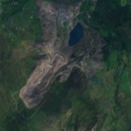
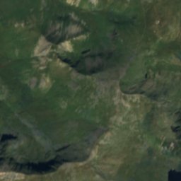
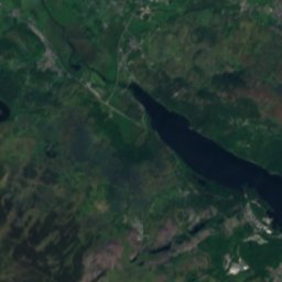
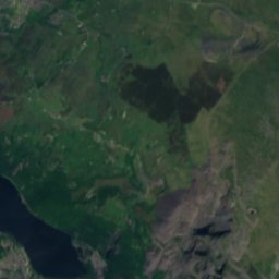
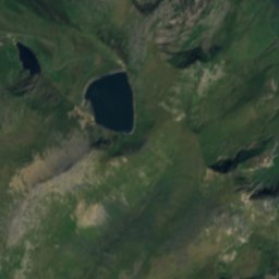
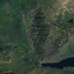
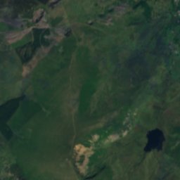
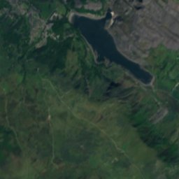
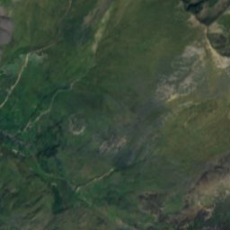
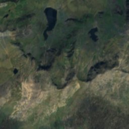
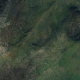
Satellite: Sentinel-2 cloudless 2016 by EOX IT Services GmbH · CC BY 4.0 · Contains modified Copernicus Sentinel data 2016
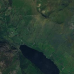
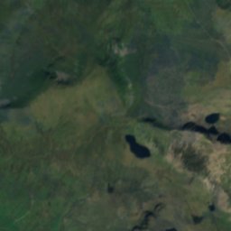
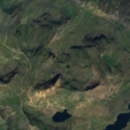
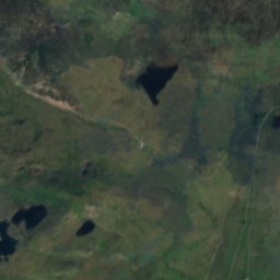
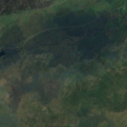
Satellite: Sentinel-2 cloudless 2016 by EOX IT Services GmbH · CC BY 4.0 · Contains modified Copernicus Sentinel data 2016
Satellite: Sentinel-2 cloudless 2016 by EOX IT Services GmbH · CC BY 4.0 · Contains modified Copernicus Sentinel data 2016

Satellite: Sentinel-2 cloudless 2016 by EOX IT Services GmbH · CC BY 4.0 · Contains modified Copernicus Sentinel data 2016
Satellite: Sentinel-2 cloudless 2016 by EOX IT Services GmbH · CC BY 4.0 · Contains modified Copernicus Sentinel data 2016
Summits nearbyMountains of the United Kingdom

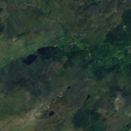
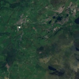
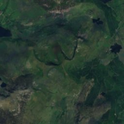
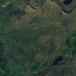
Satellite: Sentinel-2 cloudless 2016 by EOX IT Services GmbH · CC BY 4.0 · Contains modified Copernicus Sentinel data 2016

Satellite: Sentinel-2 cloudless 2016 by EOX IT Services GmbH · CC BY 4.0 · Contains modified Copernicus Sentinel data 2016

Satellite: Sentinel-2 cloudless 2016 by EOX IT Services GmbH · CC BY 4.0 · Contains modified Copernicus Sentinel data 2016
Stay nearby
Towns close by

Photo: Hefin Owen from Wales · CC BY-SA 2.0 · Wikimedia CommonsReport this photo · linked, not stored
Llanberis
Wales · 6.3 km W
14°Oct high
19wet days
35score


Around here
Llanberis and around
Photo: Hefin Owen from Wales · CC BY-SA 2.0 · Wikimedia CommonsReport this photo · linked, not stored
Llanberis
Wales · United Kingdom
Jun–Augbest months
19°July high
128 maltitude
Nature


Mountains
Satellite: Sentinel-2 cloudless 2016 by EOX IT Services GmbH · CC BY 4.0 · Contains modified Copernicus Sentinel data 2016
Carnedd Ugain
1,065 m · Snowdonia
Heritage




Museums


Photo: The original uploader was Mick Knapton at English Wikipedia. · CC BY-SA 3.0 · Wikimedia CommonsReport this photo · linked, not stored
Llanberis Lake Railway
Heritage railway


Satellite: Sentinel-2 cloudless 2016 by EOX IT Services GmbH · CC BY 4.0 · Contains modified Copernicus Sentinel data 2016
Amgueddfa'r Gogledd (Museum of the North)
1980