
Photo: Langcliffe · CC BY-SA 4.0 · Wikimedia Commons
Boxhead PotReport this photo · linked, not stored
Boxhead PotReport this photo · linked, not stored

Photo: Goatchurch · Public domain · Wikimedia Commons
Lost John's CaveReport this photo · linked, not stored
Lost John's CaveLost John's CaveReport this photo · linked, not stored

Photo: Goatchurch · Public domain · Wikimedia Commons
Notts PotReport this photo · linked, not stored
Notts PotNotts PotReport this photo · linked, not stored

Photo: Langcliffe · CC BY-SA 4.0 · Wikimedia Commons
Short Drop Cave - Gavel Pot SystemReport this photo · linked, not stored
Short Drop Cave - Gavel Pot SystemShort Drop Cave - Gavel Pot SystemReport this photo · linked, not stored

Photo: Cyberdemon007 · CC BY-SA 3.0 · Wikimedia Commons
WhernsideReport this photo · linked, not stored
WhernsideWhernsideReport this photo · linked, not stored
CaveCasterton, England
Boxhead Pot
CaveBest Jun–Aug
Elevation–above sea level
Inside9°Call year
Nearest townCasterton4.8 km
54.20° N, 2.51° WUTC+0 · Greenwich Mean Time
When to goCasterton · weather score
Best timeJun–Aug
October: high / low13° / 7°
Cave
Boxhead Pot in brief
Boxhead Pot is a cave in Casterton, England, United Kingdom.
The nearest town is Casterton, 4.8 km to the W, where the weather is best in June, July and August.
Inside, a cave stays close to the average yearly air temperature outside: about 9°C all year.
Weather nearby now
Forecast for Casterton8°
Rain now
Today
26 Oct
15°
7°
14 mm
Tue
27 Oct
16°
8°
11 mm
Wed
28 Oct
13°
8°
15 mm
Thu
29 Oct
13°
10°
Fri
30 Oct
13°
8°
Model run 12:00 UTCRefreshed several times a day
When to go
Climate of CastertonThe best months around Boxhead Pot
Month score in Casterton
Comfort, dry days and sunshine · out of 10014
Jan
15
Feb
16
Mar
31
Apr
49
May
60
Jun
61
Jul
61
Aug
53
Sep
32
Oct
15
Nov
15
Dec
Map
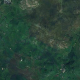
Boxhead Pot from above
Nature nearbyAll of the United Kingdom
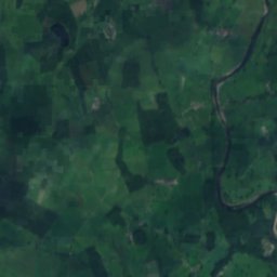
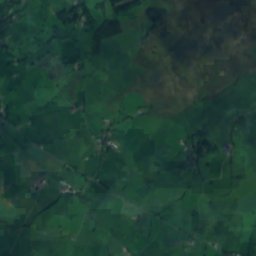
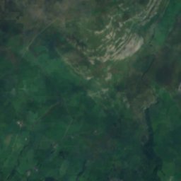
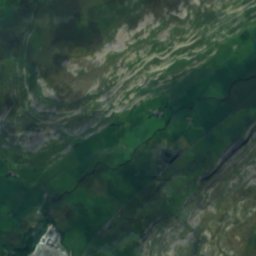
Satellite: Sentinel-2 cloudless 2016 by EOX IT Services GmbH · CC BY 4.0 · Contains modified Copernicus Sentinel data 2016
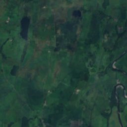
Satellite: Sentinel-2 cloudless 2016 by EOX IT Services GmbH · CC BY 4.0 · Contains modified Copernicus Sentinel data 2016


Satellite: Sentinel-2 cloudless 2016 by EOX IT Services GmbH · CC BY 4.0 · Contains modified Copernicus Sentinel data 2016
Summits nearbyMountains of the United Kingdom


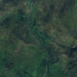
Satellite: Sentinel-2 cloudless 2016 by EOX IT Services GmbH · CC BY 4.0 · Contains modified Copernicus Sentinel data 2016

Photo: Cacolantern at the English Wikipedia · CC BY-SA 3.0 · Wikimedia CommonsReport this photo · linked, not stored
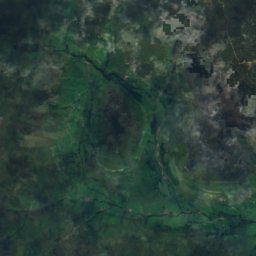
Satellite: Sentinel-2 cloudless 2016 by EOX IT Services GmbH · CC BY 4.0 · Contains modified Copernicus Sentinel data 2016
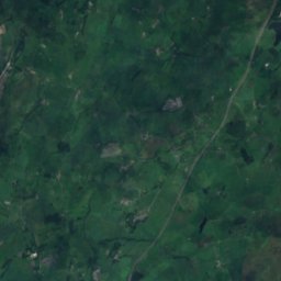
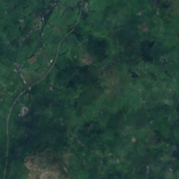
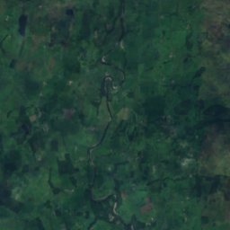
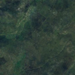
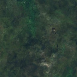
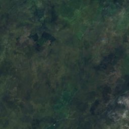
Satellite: Sentinel-2 cloudless 2016 by EOX IT Services GmbH · CC BY 4.0 · Contains modified Copernicus Sentinel data 2016
Stay nearby
Towns close by
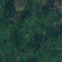
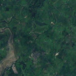
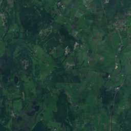
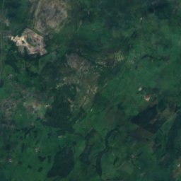
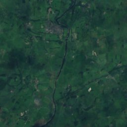
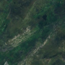
Satellite: Sentinel-2 cloudless 2016 by EOX IT Services GmbH · CC BY 4.0 · Contains modified Copernicus Sentinel data 2016
Casterton
England · 4.8 km W
13°Oct high
20wet days
32score
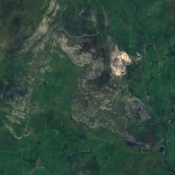
Satellite: Sentinel-2 cloudless 2016 by EOX IT Services GmbH · CC BY 4.0 · Contains modified Copernicus Sentinel data 2016
Thornton in Lonsdale
England · 5.0 km S
13°Oct high
17wet days
30score


Photo: User:James@hopgrove · Public domain · Wikimedia CommonsReport this photo · linked, not stored
Barbon
England · 6.0 km NW
13°Oct high
20wet days
32score
Around here
Casterton and around
Nature


Mountains

Photo: Mick Knapton at the English-language Wikipedia · CC BY-SA 3.0 · Wikimedia CommonsReport this photo · linked, not stored
High Street
828 m · Lake District


Photo: Freddyj66 at English Wikipedia · Public domain · Wikimedia CommonsReport this photo · linked, not stored
Brim Fell
796 m · Lake District
Heritage
Photo: User:James@hopgrove · Public domain · Wikimedia CommonsReport this photo · linked, not stored
St Bartholomew's Church, Barbon
Grade II* listed building · 1893
Satellite: Sentinel-2 cloudless 2016 by EOX IT Services GmbH · CC BY 4.0 · Contains modified Copernicus Sentinel data 2016
Holy Trinity Church, Casterton
Grade II listed building · 1860


Satellite: Sentinel-2 cloudless 2016 by EOX IT Services GmbH · CC BY 4.0 · Contains modified Copernicus Sentinel data 2016
St Mary's Church, Kirkby Lonsdale
Grade I listed building · 1150
Museums





Satellite: Sentinel-2 cloudless 2016 by EOX IT Services GmbH · CC BY 4.0 · Contains modified Copernicus Sentinel data 2016
Dent Village Heritage Centre and Museum
2007