
 Uh

Photo: Milan Bališin · CC BY-SA 4.0 · Wikimedia Commons
Poloniny National ParkReport this photo · linked, not stored
Poloniny National ParkPoloniny National ParkReport this photo · linked, not stored

Photo: Milan Bališin · CC BY-SA 4.0 · Wikimedia Commons
Malé Morské okoReport this photo · linked, not stored
Malé Morské okoMalé Morské okoReport this photo · linked, not stored

Photo: Milan Bališin · CC BY-SA 4.0 · Wikimedia Commons
Wielka RawkaReport this photo · linked, not stored
Wielka RawkaWielka RawkaReport this photo · linked, not stored
RiverZabrod', Zakarpattia
Ulička
RiverBest May · Aug–Sep
Elevation–above sea level
Length28 kmsource to mouth
Nearest townZabrod'1.2 km
48.92° N, 22.46° EUTC+2 · Eastern European Standard Time
When to goZabrod' · weather score
Best timeMay · Aug–Sep
October: high / low14° / 5°
River
Ulička in brief
Ulička is a river in Zabrod', Zakarpattia, Ukraine — river in Slovakia.
The nearest town is Zabrod', 1.2 km to the N, where the weather is best in May, August and September.
Ulička is 28 km long.
Weather nearby now
Forecast for Zabrod'10°
Cloudy now
Today
27 Oct
13°
6°
Wed
28 Oct
17°
7°
Thu
29 Oct
15°
8°
Fri
30 Oct
11°
7°
5 mm
Sat
31 Oct
12°
5°
Model run 00:00 UTCRefreshed several times a day
The course of the river
As mapped in OpenStreetMap, with the towns along its banks.- 1Ulič249 m
- 2Zabrod'222 m
- 3Velykyi Bereznyi210 m
sourcemouth (or where the mapped line leaves the country)
When to go
Climate of Zabrod'The best months around Ulička
Month score in Zabrod'
Comfort, dry days and sunshine · out of 10015
Jan
20
Feb
24
Mar
60
Apr
65
May
65
Jun
63
Jul
71
Aug
73
Sep
51
Oct
19
Nov
17
Dec
Map
Ulička from above
Nature nearbyAll of Ukraine
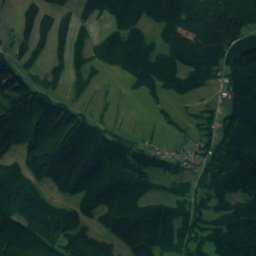
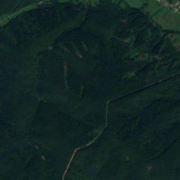
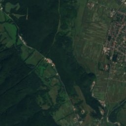
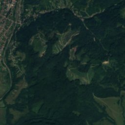
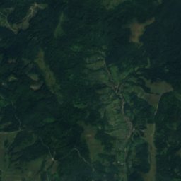
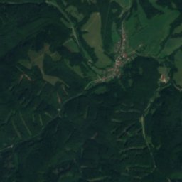
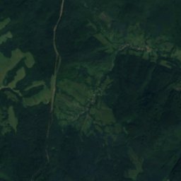
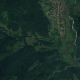
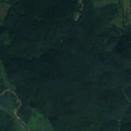
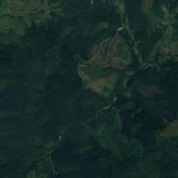
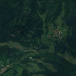
Satellite: Sentinel-2 cloudless 2016 by EOX IT Services GmbH · CC BY 4.0 · Contains modified Copernicus Sentinel data 2016
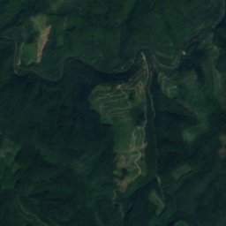
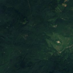
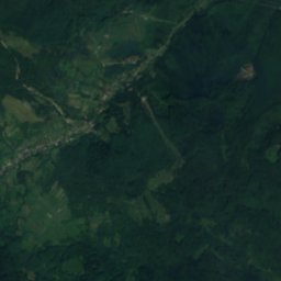
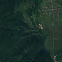
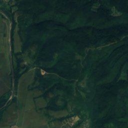
Satellite: Sentinel-2 cloudless 2016 by EOX IT Services GmbH · CC BY 4.0 · Contains modified Copernicus Sentinel data 2016
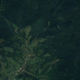
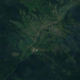
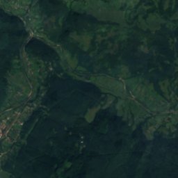
Satellite: Sentinel-2 cloudless 2016 by EOX IT Services GmbH · CC BY 4.0 · Contains modified Copernicus Sentinel data 2016


Summits nearbyMountains of Ukraine


Stay nearby
Towns close by
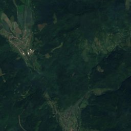
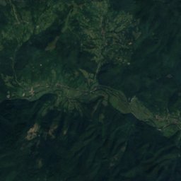
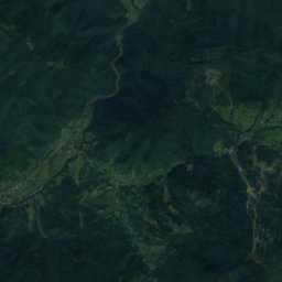
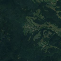
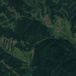
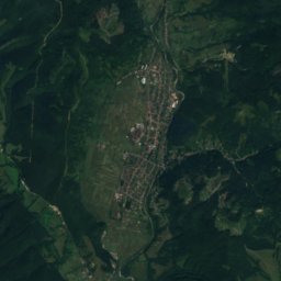
Satellite: Sentinel-2 cloudless 2016 by EOX IT Services GmbH · CC BY 4.0 · Contains modified Copernicus Sentinel data 2016
Zabrod'
Zakarpattia · 1.2 km N
14°Oct high
10wet days
51score

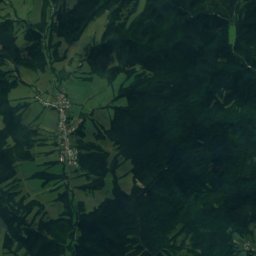
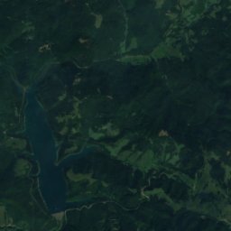
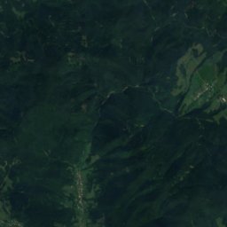
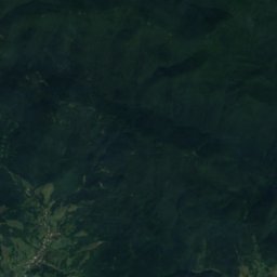
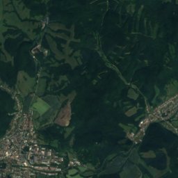
Satellite: Sentinel-2 cloudless 2016 by EOX IT Services GmbH · CC BY 4.0 · Contains modified Copernicus Sentinel data 2016
Ulič
Prešov Region · 5.2 km NW
14°Oct high
10wet days
50score

Around here
Zabrod' and around
Nature
Satellite: Sentinel-2 cloudless 2016 by EOX IT Services GmbH · CC BY 4.0 · Contains modified Copernicus Sentinel data 2016
Ublianka
River
Satellite: Sentinel-2 cloudless 2016 by EOX IT Services GmbH · CC BY 4.0 · Contains modified Copernicus Sentinel data 2016
Uzhanskyi National Nature Park
National park
Mountains
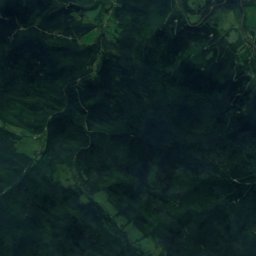
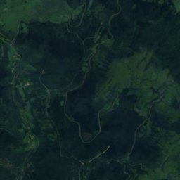
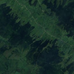
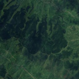
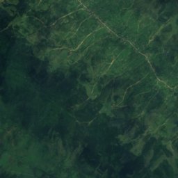
Satellite: Sentinel-2 cloudless 2016 by EOX IT Services GmbH · CC BY 4.0 · Contains modified Copernicus Sentinel data 2016
Tarnica
1,346 m · Bieszczady Mountains
Satellite: Sentinel-2 cloudless 2016 by EOX IT Services GmbH · CC BY 4.0 · Contains modified Copernicus Sentinel data 2016
Krzemień
1,335 m · Western Bieszczady
Satellite: Sentinel-2 cloudless 2016 by EOX IT Services GmbH · CC BY 4.0 · Contains modified Copernicus Sentinel data 2016
Bukowe Berdo
1,311 m · Western Bieszczady
Heritage

Church of the Transfer of the Relics of St. Nicholas (Ruská Bystrá)
Cultural Heritage Monuments of Slovakia · 1800

Church of St. Michael the Archangel, Inovce
cultural heritage of Slovakia · 1836









Satellite: Sentinel-2 cloudless 2016 by EOX IT Services GmbH · CC BY 4.0 · Contains modified Copernicus Sentinel data 2016
Uzhanskyi National Nature Park
part of UNESCO World Heritage Site · 1999