Skip to content
Destinations
Weather & climate
Nature
Outdoors
Culture
Events
Sky & live
Shchyrets
Photo: MSha · Public domain · Wikimedia Commons
ShchyretsReport this photo · linked, not stored
Zymna Voda river
Photo: MSha · CC BY-SA 3.0 · Wikimedia Commons
Zymna Voda riverReport this photo · linked, not stored
Zymna Voda river
Navaria Lake
Photo: Mykola Swarnyk · CC BY-SA 3.0 · Wikimedia Commons
Navaria LakeReport this photo · linked, not stored
Navaria Lake
Poltva River
Photo: MSha · CC0 · Wikimedia Commons
Poltva RiverReport this photo · linked, not stored
Poltva River
Medowa Cave
Photo: Vimoculars · CC BY-SA 3.0 · Wikimedia Commons
Medowa CaveReport this photo · linked, not stored
Medowa Cave
RiverRudno, Lviv

Shchyrets

RiverBest Jul–Sep
Elevation–above sea level
Length46 kmsource to mouth
Nearest townRudno1.8 km
49.82° N, 23.89° EUTC+3 · Eastern European Summer Time
When to goRudno · weather score
JanFebMarAprMayJunJulAugSepOctNovDec50October
Best timeJul–Sep
October: high / low13° / 5°
River

Shchyrets in brief

Shchyrets is a river in Rudno, Lviv, Ukraine.

The nearest town in the atlas is Rudno, 1.8 km to the N, where the weather is best in July, August and September.

Shchyrets is 46 km long.

Rudno: weather and travel guide

Weather nearby now

Forecast for Rudno
13°
Rain now
Wind16 km/h
Humidity97%
Cloud cover100%
Today
22 Oct
15°
9°
10 mm
Fri
23 Oct
14°
5°
1 mm
Sat
24 Oct
16°
4°
Sun
25 Oct
17°
3°
Mon
26 Oct
14°
4°
2 mm

Model run 00:00 UTCRefreshed several times a day

The course of the river

As mapped in OpenStreetMap, with the towns of the atlas along its banks.
1
  1. 1Shchyrets268 m
sourcemouth (or where the mapped line leaves the country)
When to go

The best months around Shchyrets

Climate of Rudno

Month score in Rudno

Comfort, dry days and sunshine · out of 100
20
Jan
23
Feb
25
Mar
55
Apr
63
May
64
Jun
65
Jul
74
Aug
73
Sep
50
Oct
26
Nov
21
Dec
Map

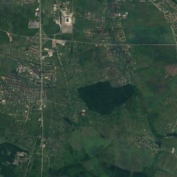
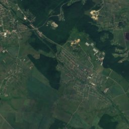
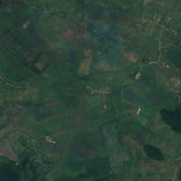
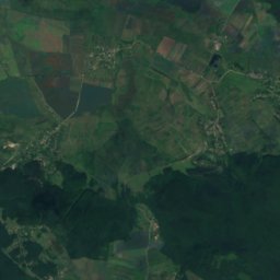
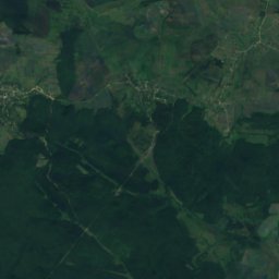
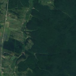
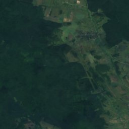
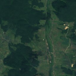
Shchyrets from above

Nature nearbyAll of Ukraine
Photo: MSha · CC BY-SA 3.0 · Wikimedia CommonsReport this photo · linked, not stored
Zymna Voda riverRiver8.8 kmEZymna Voda river
Photo: Mykola Swarnyk · CC BY-SA 3.0 · Wikimedia CommonsReport this photo · linked, not stored
Navaria LakeLake9.2 kmSENavaria Lake
Photo: MSha · CC0 · Wikimedia CommonsReport this photo · linked, not stored
Poltva RiverRiver14 kmNEPoltva River
Photo: Vimoculars · CC BY-SA 3.0 · Wikimedia CommonsReport this photo · linked, not stored
Medowa CaveCave14 kmEMedowa Cave
Photo: Mykola Swarnyk · CC BY-SA 3.0 · Wikimedia CommonsReport this photo · linked, not stored
Yavoriv National Nature ParkNational park24 kmNYavoriv National Nature Park
Stay nearby

Towns close by

Rudno
Photo: Дмитрий Ванькевич · CC BY-SA 3.0 · Wikimedia CommonsReport this photo · linked, not stored

Rudno

Lviv · 1.8 km N
13°Oct high
9wet days
50score
Rudno
Obroshyne
Photo: Tomasz Leśniowski · CC BY-SA 3.0 · Wikimedia CommonsReport this photo · linked, not stored

Obroshyne

Lviv · 4.1 km SW
13°Oct high
9wet days
49score
Obroshyne
Sukhovolya
Photo: dvankevich · CC BY-SA 3.0 · Wikimedia CommonsReport this photo · linked, not stored

Sukhovolya

Lviv · 4.2 km W
13°Oct high
9wet days
50score
Sukhovolya
Hodovytsia
Photo: SvartKat · CC BY-SA 3.0 · Wikimedia CommonsReport this photo · linked, not stored

Hodovytsia

Lviv · 5.8 km S
13°Oct high
9wet days
49score
Hodovytsia
Around here

Rudno and around

Rudno
Photo: Дмитрий Ванькевич · CC BY-SA 3.0 · Wikimedia CommonsReport this photo · linked, not stored

Rudno

Lviv · Ukraine
Jul–Sepbest months
25°July high
311 maltitude
Rudno

Nature

Navaria Lake
Photo: Mykola Swarnyk · CC BY-SA 3.0 · Wikimedia CommonsReport this photo · linked, not stored
11 km S

Navaria Lake

Lake · 286 m
Navaria Lake
Zymna Voda river
Photo: MSha · CC BY-SA 3.0 · Wikimedia CommonsReport this photo · linked, not stored
9.3 km SE

Zymna Voda river

River
Zymna Voda river
Yavoriv National Nature Park
Photo: Mykola Swarnyk · CC BY-SA 3.0 · Wikimedia CommonsReport this photo · linked, not stored
23 km NW

Yavoriv National Nature Park

National park
Yavoriv National Nature Park

Mountains

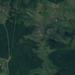
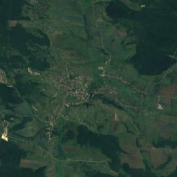
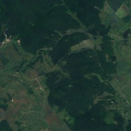
Satellite: Sentinel-2 cloudless 2016 by EOX IT Services GmbH · CC BY 4.0 · Contains modified Copernicus Sentinel data 2016
33 km SE

Gora Kamula

406 m
Gora Kamula

Heritage

Saint George's Cathedral
Photo: Lestat (Jan Mehlich) · CC BY-SA 3.0 · Wikimedia CommonsReport this photo · linked, not stored
8.1 km E

Saint George's Cathedral

architectural monument of national significance of Ukraine · 1760
Saint George's Cathedral
Lviv Theatre of Opera and Ballet
Photo: Oleksandr Samoylyk · Public domain · Wikimedia CommonsReport this photo · linked, not stored
9.1 km E

Lviv Theatre of Opera and Ballet

architectural monument of national significance of Ukraine · 1897
Lviv Theatre of Opera and Ballet
Latin Cathedral
Photo: Шелест Костянтин · CC BY-SA 3.0 · Wikimedia CommonsReport this photo · linked, not stored
9.4 km E

Latin Cathedral

State Register of Immovable Monuments of Ukraine · 1360
Latin Cathedral

Museums

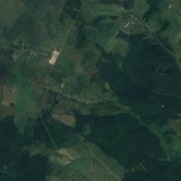
Satellite: Sentinel-2 cloudless 2016 by EOX IT Services GmbH · CC BY 4.0 · Contains modified Copernicus Sentinel data 2016
3.3 km E

Memorial museum of Roman Shukhevych in Lviv

2001

Memorial museum of Roman Shukhevych in Lviv
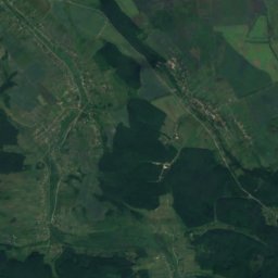
Satellite: Sentinel-2 cloudless 2016 by EOX IT Services GmbH · CC BY 4.0 · Contains modified Copernicus Sentinel data 2016
3.9 km S

Музей-криївка УПА

2014
Музей-криївка УПА
Shevchenkivskyi Hai
Photo: Водник · CC BY-SA 3.0 · Wikimedia CommonsReport this photo · linked, not stored
12 km E

Shevchenkivskyi Hai

1971
Shevchenkivskyi Hai