
Photo: Oleksandr Kaktus · CC BY 3.0 · Wikimedia Commons
MarunkaReport this photo · linked, not stored
MarunkaReport this photo · linked, not stored

Photo: Vimoculars · CC BY-SA 3.0 · Wikimedia Commons
Medowa CaveReport this photo · linked, not stored
Medowa CaveMedowa CaveReport this photo · linked, not stored
 Poltva River

Photo: MSha · CC BY-SA 3.0 · Wikimedia Commons
Zymna Voda riverReport this photo · linked, not stored
Zymna Voda riverZymna Voda riverReport this photo · linked, not stored

Photo: Mykola Swarnyk · CC BY-SA 3.0 · Wikimedia Commons
Lubeshka RiverReport this photo · linked, not stored
Lubeshka RiverLubeshka RiverReport this photo · linked, not stored
RiverVerkhnia Bilka, Lviv
Marunka
RiverBest Jun · Aug–Sep
Elevation–above sea level
Length14 kmsource to mouth
Nearest townVerkhnia Bilka3.4 km
49.80° N, 24.26° EUTC+3 · Eastern European Summer Time
When to goVerkhnia Bilka · weather score
Best timeJun · Aug–Sep
October: high / low14° / 5°
River
Marunka in brief
Marunka is a river in Verkhnia Bilka, Lviv, Ukraine.
The nearest town in the atlas is Verkhnia Bilka, 3.4 km to the NE, where the weather is best in June, August and September.
Marunka is 14 km long.
Weather nearby now
Forecast for Verkhnia Bilka13°
Rain now
Today
22 Oct
16°
9°
11 mm
Fri
23 Oct
14°
5°
1 mm
Sat
24 Oct
16°
4°
Sun
25 Oct
17°
4°
Mon
26 Oct
15°
5°
2 mm
Model run 00:00 UTCRefreshed several times a day
When to go
Climate of Verkhnia BilkaThe best months around Marunka
Month score in Verkhnia Bilka
Comfort, dry days and sunshine · out of 10021
Jan
23
Feb
25
Mar
57
Apr
64
May
65
Jun
64
Jul
74
Aug
73
Sep
50
Oct
26
Nov
22
Dec
Map
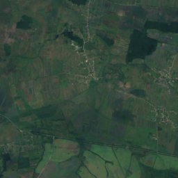
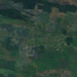
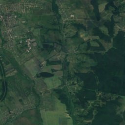
Marunka from above
Nature nearbyAll of Ukraine
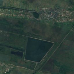
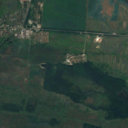
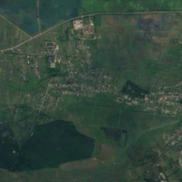
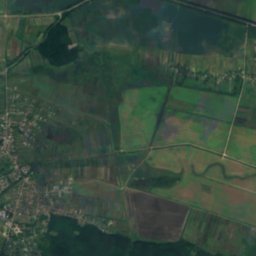
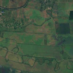
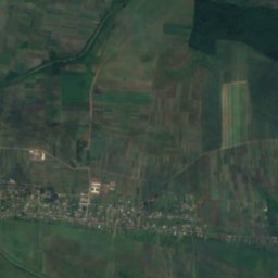
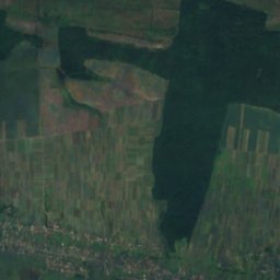
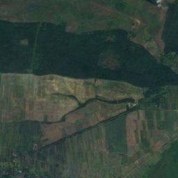
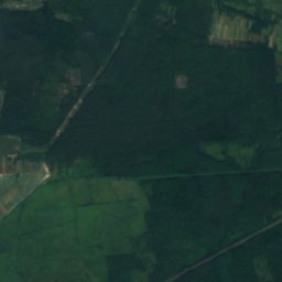
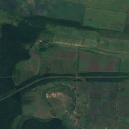
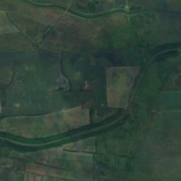
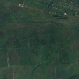
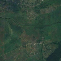
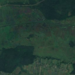
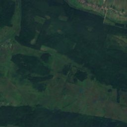
Satellite: Sentinel-2 cloudless 2016 by EOX IT Services GmbH · CC BY 4.0 · Contains modified Copernicus Sentinel data 2016


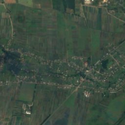
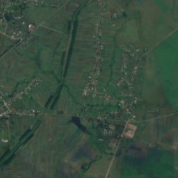
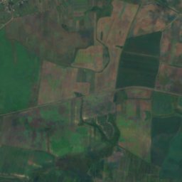
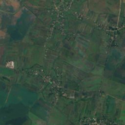
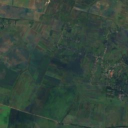
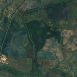
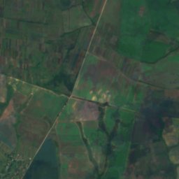
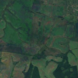
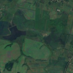
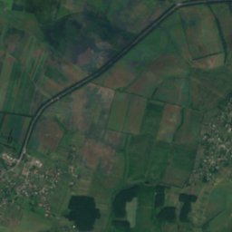
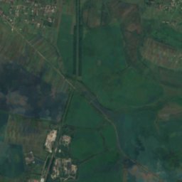
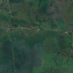
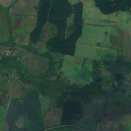
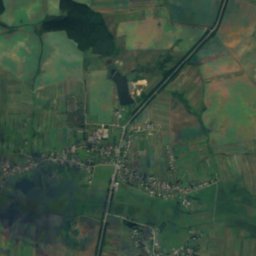
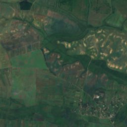
Satellite: Sentinel-2 cloudless 2016 by EOX IT Services GmbH · CC BY 4.0 · Contains modified Copernicus Sentinel data 2016

Summits nearbyMountains of Ukraine
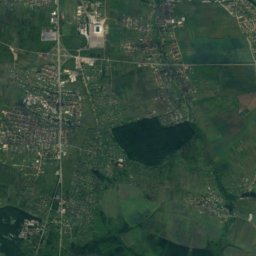
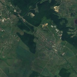
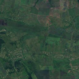
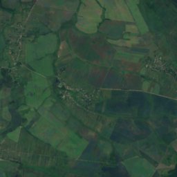
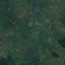
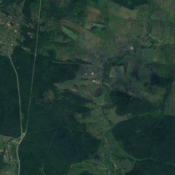
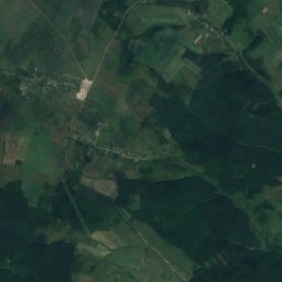
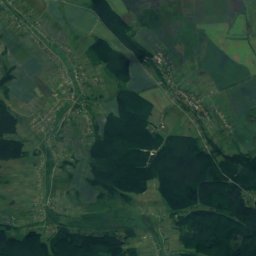
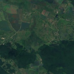
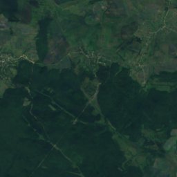
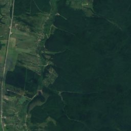
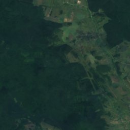
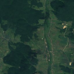
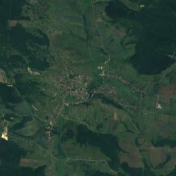
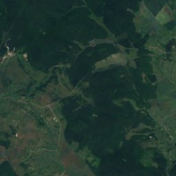
Satellite: Sentinel-2 cloudless 2016 by EOX IT Services GmbH · CC BY 4.0 · Contains modified Copernicus Sentinel data 2016
Stay nearby
Towns close by

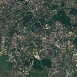
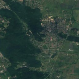
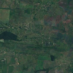
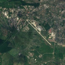
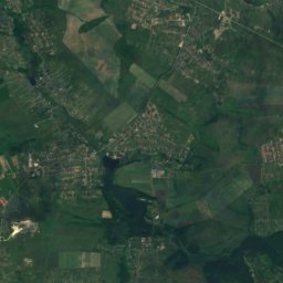
Satellite: Sentinel-2 cloudless 2016 by EOX IT Services GmbH · CC BY 4.0 · Contains modified Copernicus Sentinel data 2016
Zvenyhorod
Lviv · 7.1 km S
14°Oct high
9wet days
51score
Around here
Verkhnia Bilka and around
Nature
Satellite: Sentinel-2 cloudless 2016 by EOX IT Services GmbH · CC BY 4.0 · Contains modified Copernicus Sentinel data 2016
Bilka (tributary of Poltva)
River
Mountains

Satellite: Sentinel-2 cloudless 2016 by EOX IT Services GmbH · CC BY 4.0 · Contains modified Copernicus Sentinel data 2016
Gora Kamula
406 m
Heritage

Stare Selo Castle
architectural monument of national significance of Ukraine

Bust of Ivan Franko in Vynnyky
Monument of monumental art of Ukraine of local importance · 1956

Bust of Taras Shevchenko in Vynnyky
Monument of monumental art of Ukraine of local importance · 1913
Museums

Музей історії давньоруського міста Звенигород
1987




Satellite: Sentinel-2 cloudless 2016 by EOX IT Services GmbH · CC BY 4.0 · Contains modified Copernicus Sentinel data 2016
Історико-краєзнавчий музей міста Винники
1994