
Photo: Unknown author · Public domain · Wikimedia Commons
Kremenchuk ReservoirReport this photo · linked, not stored
Kremenchuk ReservoirReport this photo · linked, not stored
LakeChyhyryn, Cherkasy
Kremenchuk Reservoir
Lake77 m elevationBest May · Aug–Sep
Elevation77 mabove sea level
Area2,250 km²surface
Nearest townChyhyryn21 km
49.27° N, 32.63° EElevation 77 mUTC+3 · Eastern European Summer Time
When to goChyhyryn · weather score
Best timeMay · Aug–Sep
October: high / low13° / 6°
Lake
Kremenchuk Reservoir in brief
Kremenchuk Reservoir is a lake in Chyhyryn, Cherkasy, Ukraine.
It lies at 77 m above sea level and covers about 2,250 km².
The nearest town in the atlas is Chyhyryn, 21 km to the S, where the weather is best in May, August and September.
Weather nearby now
Forecast for Chyhyryn15°
Partly cloudy now
Today
22 Oct
20°
9°
1 mm
Fri
23 Oct
17°
11°
Sat
24 Oct
19°
11°
Sun
25 Oct
18°
9°
Mon
26 Oct
16°
9°
Model run 00:00 UTCRefreshed several times a day
The lake's water
Surface, average depth and volume of the lake, and the length of its shore.Surface2,250 km²
Average depth7 m
Volume13.5 km³
Shoreline663 km
When to go
Climate of ChyhyrynThe best months around Kremenchuk Reservoir
Month score in Chyhyryn
Comfort, dry days and sunshine · out of 10024
Jan
25
Feb
31
Mar
50
Apr
70
May
68
Jun
68
Jul
76
Aug
82
Sep
46
Oct
24
Nov
17
Dec
Map
Kremenchuk Reservoir from above
Nature nearbyAll of Ukraine
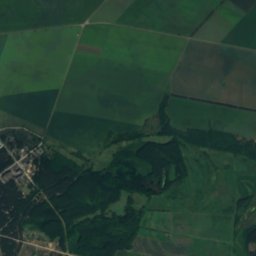
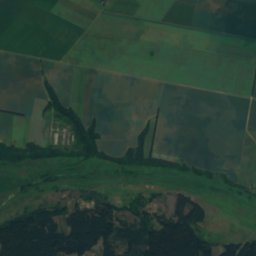
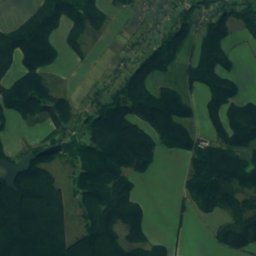
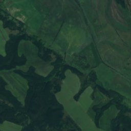
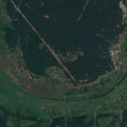
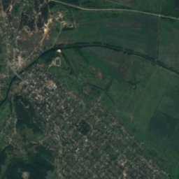
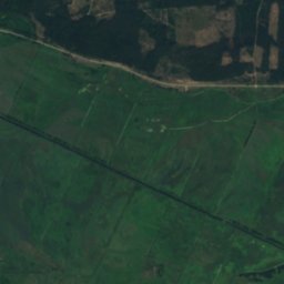
Around here
Chyhyryn and around

Nature
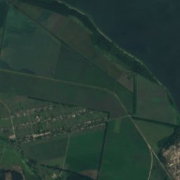
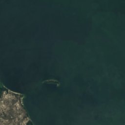

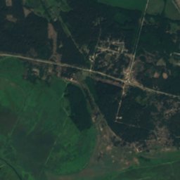
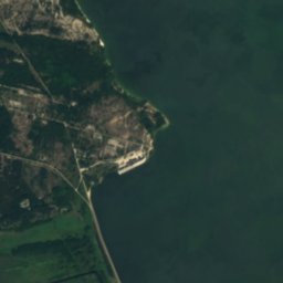

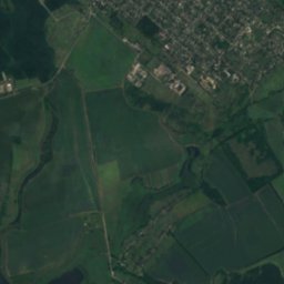
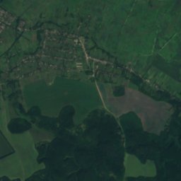
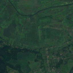
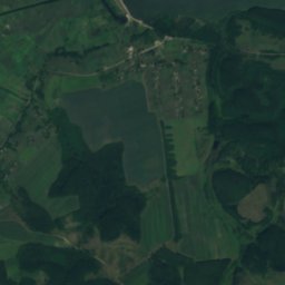
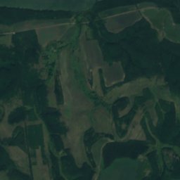
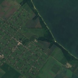
Satellite: Sentinel-2 cloudless 2016 by EOX IT Services GmbH · CC BY 4.0 · Contains modified Copernicus Sentinel data 2016
Tiasmyn
River
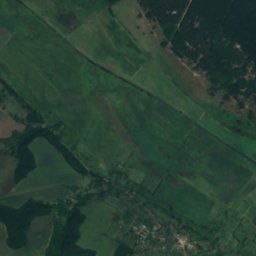
Satellite: Sentinel-2 cloudless 2016 by EOX IT Services GmbH · CC BY 4.0 · Contains modified Copernicus Sentinel data 2016
Irklii
River

Mountains

Heritage

Photo: Сергій Криниця (Haidamac) · CC BY-SA 3.0 · Wikimedia CommonsReport this photo · linked, not stored
Castle Hill
historic monument of national significance of Ukraine · 1976

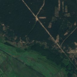
Satellite: Sentinel-2 cloudless 2016 by EOX IT Services GmbH · CC BY 4.0 · Contains modified Copernicus Sentinel data 2016
Three wells
Museums

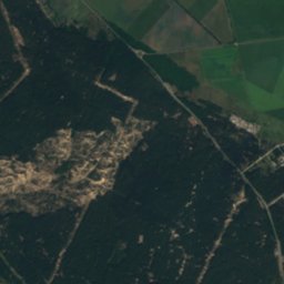
Satellite: Sentinel-2 cloudless 2016 by EOX IT Services GmbH · CC BY 4.0 · Contains modified Copernicus Sentinel data 2016
Museum of Bohdan Khmelnytsky
1995


Satellite: Sentinel-2 cloudless 2016 by EOX IT Services GmbH · CC BY 4.0 · Contains modified Copernicus Sentinel data 2016
Subotiv history museum
1960