Skip to content
Destinations
Weather & climate
Nature
Outdoors
Culture
Events
Sky & live
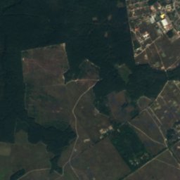
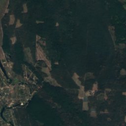
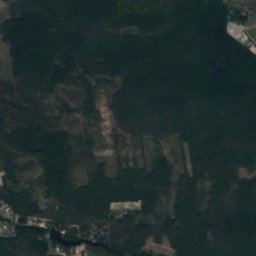
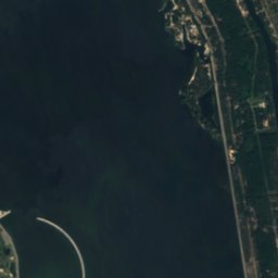
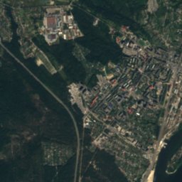
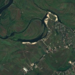
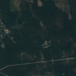
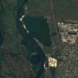
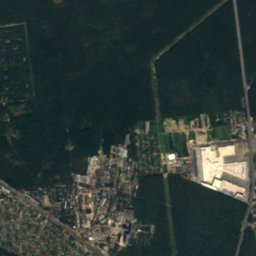
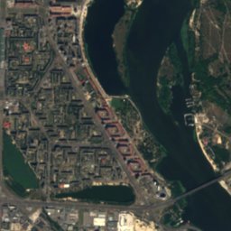
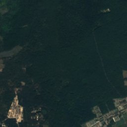
Satellite: Sentinel-2 cloudless 2016 by EOX IT Services GmbH · CC BY 4.0 · Contains modified Copernicus Sentinel data 2016
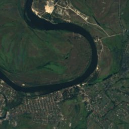
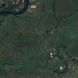
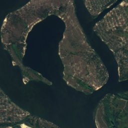
Muromets island, Kyiv
Photo: Аимаина хикари · CC0 · Wikimedia Commons
Muromets island, KyivReport this photo · linked, not stored
Muromets island, Kyiv
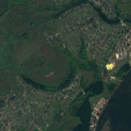
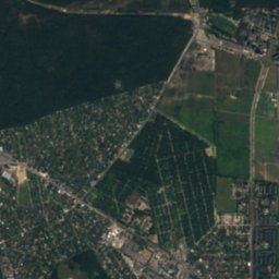
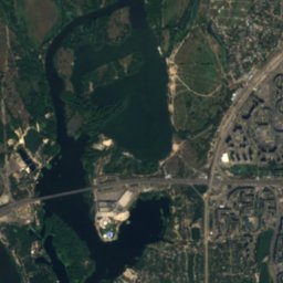
Redkyne Lake, Kyiv
Photo: Юровский Александр · CC BY-SA 4.0 · Wikimedia Commons
Redkyne Lake, KyivReport this photo · linked, not stored
Redkyne Lake, Kyiv
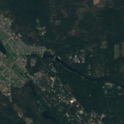
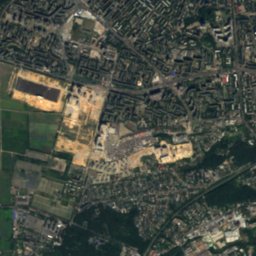
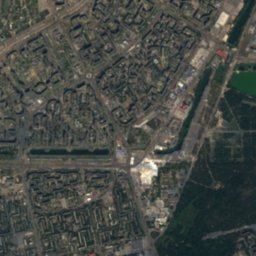
Desenka
Photo: Олекса-Київ · Public domain · Wikimedia Commons
DesenkaReport this photo · linked, not stored
Desenka
RiverVyshhorod, Kyiv Oblast

Desna, Kyiv Oblast

River90 m elevationBest Jun · Aug–Sep
Elevation90 mabove sea level
Length1,130 kmsource to mouth
Nearest townVyshhorod5.2 km
50.55° N, 30.54° EElevation 90 mUTC+3 · Eastern European Summer Time
When to goVyshhorod · weather score
JanFebMarAprMayJunJulAugSepOctNovDec44October
Best timeJun · Aug–Sep
October: high / low13° / 6°
River

Desna, Kyiv Oblast in brief

Desna, Kyiv Oblast is a river in Vyshhorod, Kyiv Oblast, Ukraine.

It lies at 90 m above sea level.

The nearest town in the atlas is Vyshhorod, 5.2 km to the NW, where the weather is best in June, August and September.

Desna, Kyiv Oblast is 1,130 km long.

Vyshhorod: weather and travel guide

Weather nearby now

Forecast for Vyshhorod
14°
Cloudy now
Wind12 km/h
Humidity88%
Cloud cover81%
Today
22 Oct
16°
11°
1 mm
Fri
23 Oct
16°
12°
3 mm
Sat
24 Oct
18°
12°
2 mm
Sun
25 Oct
17°
12°
Mon
26 Oct
17°
12°
1 mm

Model run 00:00 UTCRefreshed several times a day

The course of the river

As mapped in OpenStreetMap, with the towns of the atlas along its banks.
sourcemouth (or where the mapped line leaves the country)
When to go

The best months around Desna, Kyiv Oblast

Climate of Vyshhorod

Month score in Vyshhorod

Comfort, dry days and sunshine · out of 100
Map

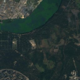
Desna, Kyiv Oblast from above

Nature nearbyAll of Ukraine
Photo: Аимаина хикари · CC0 · Wikimedia CommonsReport this photo · linked, not stored
Muromets island, KyivIsland3.4 kmSMuromets island, Kyiv
Photo: Юровский Александр · CC BY-SA 4.0 · Wikimedia CommonsReport this photo · linked, not stored
Redkyne Lake, KyivLake4.3 kmWRedkyne Lake, Kyiv
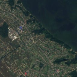
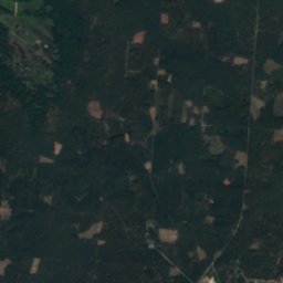
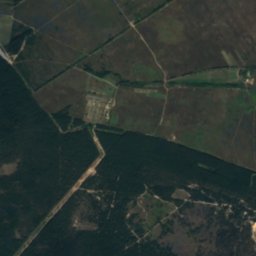
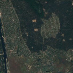
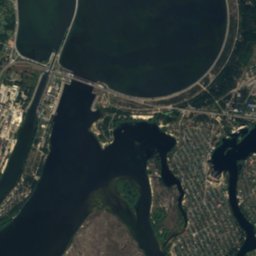
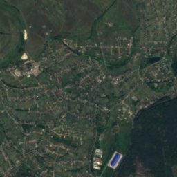
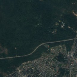
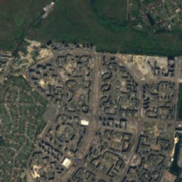
Satellite: Sentinel-2 cloudless 2016 by EOX IT Services GmbH · CC BY 4.0 · Contains modified Copernicus Sentinel data 2016
Obolonskyi islandIsland4.9 kmSObolonskyi island
Photo: Олекса-Київ · Public domain · Wikimedia CommonsReport this photo · linked, not stored
DesenkaRiver5.0 kmSDesenka
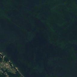
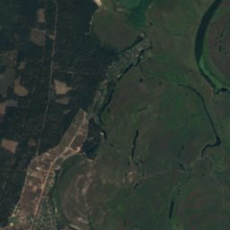
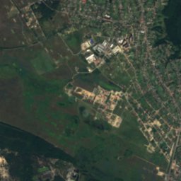
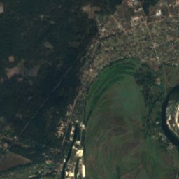
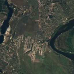
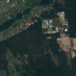
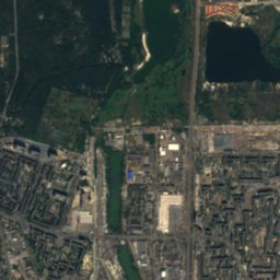
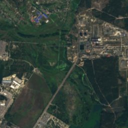
Satellite: Sentinel-2 cloudless 2016 by EOX IT Services GmbH · CC BY 4.0 · Contains modified Copernicus Sentinel data 2016
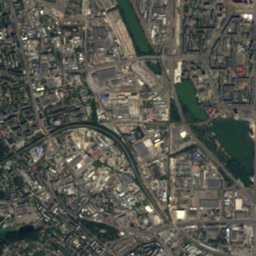
Lopukhovatyi island (Kyiv)Island5.1 kmSLopukhovatyi island (Kyiv)
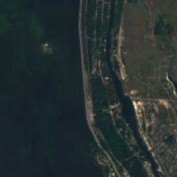
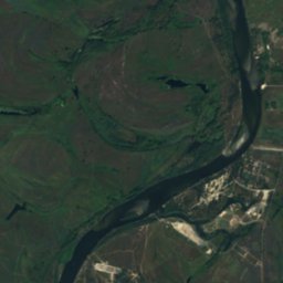
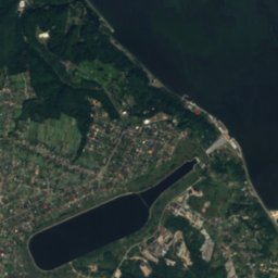
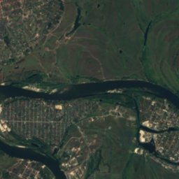
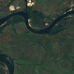
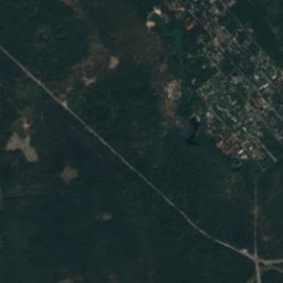
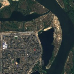
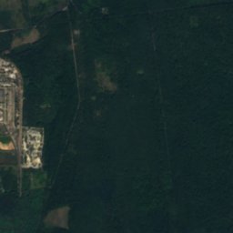
Satellite: Sentinel-2 cloudless 2016 by EOX IT Services GmbH · CC BY 4.0 · Contains modified Copernicus Sentinel data 2016
Sobachy IslandIsland5.2 kmSSobachy Island
Stay nearby

Towns close by

Vyshhorod
Photo: Andrii Danyliuk · CC BY-SA 3.0 · Wikimedia CommonsReport this photo · linked, not stored

Vyshhorod

Kyiv Oblast · 5.2 km NW
13°Oct high
9wet days
44score
Vyshhorod
Khotianivka
Photo: Oleksii Gubenia · CC BY 1.0 · Wikimedia CommonsReport this photo · linked, not stored

Khotianivka

Kyiv Oblast · 5.7 km NE
13°Oct high
9wet days
45score
Khotianivka
Pohreby
Photo: Аимаина хикари · CC0 · Wikimedia CommonsReport this photo · linked, not stored

Pohreby

Kyiv Oblast · 7.6 km E
13°Oct high
9wet days
47score
Pohreby
Kyiv
Photo: Francisco Anzola · CC BY 3.0 · Wikimedia CommonsReport this photo · linked, not stored

Kyiv

Kyiv City · 11 km S
13°Oct high
8wet days
47score
Kyiv
Around here

Vyshhorod and around

Vyshhorod
Photo: Andrii Danyliuk · CC BY-SA 3.0 · Wikimedia CommonsReport this photo · linked, not stored

Vyshhorod

Kyiv Oblast · Ukraine
Jun · Aug–Sepbest months
26°July high
86 maltitude
Vyshhorod

Nature

Syrets
Photo: geka_b · CC BY-SA 3.0 · Wikimedia CommonsReport this photo · linked, not stored
9.4 km S

Syrets

River
Syrets
Desenka
Photo: Олекса-Київ · Public domain · Wikimedia CommonsReport this photo · linked, not stored
9.7 km SE

Desenka

River
Desenka
Yordanske Lake, Kyiv
Photo: Kiyanka · CC BY-SA 4.0 · Wikimedia CommonsReport this photo · linked, not stored
10 km S

Yordanske Lake, Kyiv

Lake · 95 m
Yordanske Lake, Kyiv

Heritage

Satellite: Sentinel-2 cloudless 2016 by EOX IT Services GmbH · CC BY 4.0 · Contains modified Copernicus Sentinel data 2016
1.6 km NE

Borysohlibska Church in Vyshhorod

architectural monument of local significance of Ukraine
Borysohlibska Church in Vyshhorod
Saint Sophia Cathedral
Photo: Rbrechko · CC BY-SA 4.0 · Wikimedia CommonsReport this photo · linked, not stored
15 km S

Saint Sophia Cathedral

World Heritage Site · 1011
Saint Sophia Cathedral
Saint Andrew's Church, Kyiv
Photo: Moahim · CC BY-SA 4.0 · Wikimedia CommonsReport this photo · linked, not stored
14 km S

Saint Andrew's Church, Kyiv

architectural monument of national significance of Ukraine · 1747
Saint Andrew's Church, Kyiv

Museums

Mezhyhirya
Photo: Eugene Shutoff · CC BY 3.0 · Wikimedia CommonsReport this photo · linked, not stored
3.6 km N

Mezhyhirya

Mezhyhirya
Vyshhorod ceramics museum
Photo: Kiyanka · CC BY-SA 4.0 · Wikimedia CommonsReport this photo · linked, not stored
0.9 km NE

Vyshhorod ceramics museum

2006
Vyshhorod ceramics museum
Ukrainian National Chornobyl Museum
Photo: Jorge Láscar from Australia · CC BY 2.0 · Wikimedia CommonsReport this photo · linked, not stored
13 km S

Ukrainian National Chornobyl Museum

1992
Ukrainian National Chornobyl Museum