Skip to content
Destinations
Weather & climate
Nature
Outdoors
Culture
Events
Sky & live
Barbara
Photo: Mykola Swarnyk · CC BY-SA 3.0 · Wikimedia Commons
BarbaraReport this photo · linked, not stored
Zubra
Photo: Terek · CC BY-SA 3.0 · Wikimedia Commons
ZubraReport this photo · linked, not stored
Zubra
Pryima-1
Photo: Helgi · CC BY-SA 4.0 · Wikimedia Commons
Pryima-1Report this photo · linked, not stored
Pryima-1
Bystritsa
Photo: Mykola Swarnyk · CC BY-SA 3.0 · Wikimedia Commons
BystritsaReport this photo · linked, not stored
Bystritsa
Kuna
Photo: Rbrechko · CC BY-SA 4.0 · Wikimedia Commons
KunaReport this photo · linked, not stored
Kuna
RiverDemnia, Lviv

Barbara

RiverBest Jun · Aug–Sep
Elevation–above sea level
Length7.0 kmsource to mouth
Nearest townDemnia2.8 km
49.56° N, 23.98° EUTC+3 · Eastern European Summer Time
When to goDemnia · weather score
JanFebMarAprMayJunJulAugSepOctNovDec52October
Best timeJun · Aug–Sep
October: high / low14° / 4°
River

Barbara in brief

Barbara is a river in Demnia, Lviv, Ukraine.

The nearest town in the atlas is Demnia, 2.8 km to the W, where the weather is best in June, August and September.

Barbara is 7.0 km long.

Demnia: weather and travel guide

Weather nearby now

Forecast for Demnia
12°
Rain now
Wind16 km/h
Humidity97%
Cloud cover100%
Today
22 Oct
15°
9°
10 mm
Fri
23 Oct
14°
5°
1 mm
Sat
24 Oct
16°
3°
Sun
25 Oct
16°
3°
Mon
26 Oct
15°
5°
2 mm

Model run 00:00 UTCRefreshed several times a day

When to go

The best months around Barbara

Climate of Demnia

Month score in Demnia

Comfort, dry days and sunshine · out of 100
21
Jan
24
Feb
25
Mar
57
Apr
63
May
64
Jun
64
Jul
74
Aug
73
Sep
52
Oct
27
Nov
22
Dec
Map

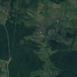
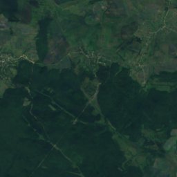
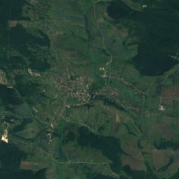
Barbara from above

Nature nearbyAll of Ukraine
Photo: Terek · CC BY-SA 3.0 · Wikimedia CommonsReport this photo · linked, not stored
ZubraRiver5.9 kmSWZubra
Photo: Helgi · CC BY-SA 4.0 · Wikimedia CommonsReport this photo · linked, not stored
Pryima-1Cave6.1 kmSPryima-1
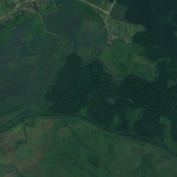
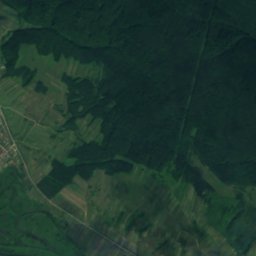
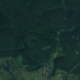
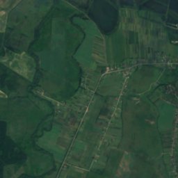
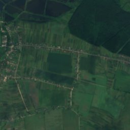
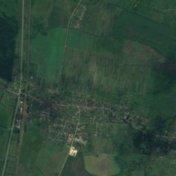
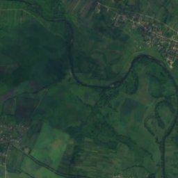
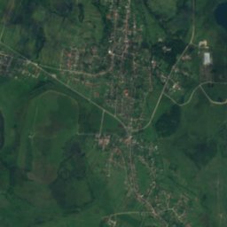
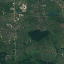
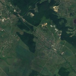
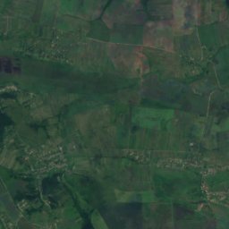
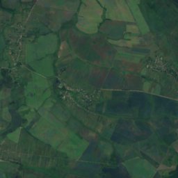
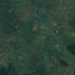
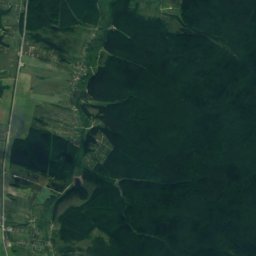
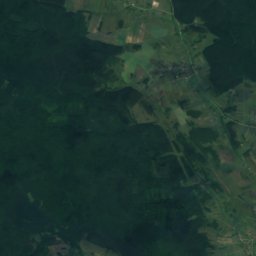
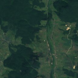
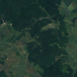
Satellite: Sentinel-2 cloudless 2016 by EOX IT Services GmbH · CC BY 4.0 · Contains modified Copernicus Sentinel data 2016
ChernytsiaRiver12 kmSChernytsia
Photo: Mykola Swarnyk · CC BY-SA 3.0 · Wikimedia CommonsReport this photo · linked, not stored
BystritsaRiver17 kmWBystritsa
Photo: Rbrechko · CC BY-SA 4.0 · Wikimedia CommonsReport this photo · linked, not stored
KunaRiver17 kmSEKuna
Photo: Ohoho · CC BY 3.0 · Wikimedia CommonsReport this photo · linked, not stored
TysmenytsyaRiver19 kmWTysmenytsya
Stay nearby

Towns close by

Demnia
Photo: Rbrechko · CC BY-SA 4.0 · Wikimedia CommonsReport this photo · linked, not stored

Demnia

Lviv · 2.8 km W
14°Oct high
9wet days
52score
Demnia
Mykolaiv
Photo: Aeou · CC BY-SA 3.0 · Wikimedia CommonsReport this photo · linked, not stored

Mykolaiv

Lviv · 3.7 km S
14°Oct high
9wet days
51score
Mykolaiv
Rozvadiv
Photo: Aeou · CC BY 3.0 · Wikimedia CommonsReport this photo · linked, not stored

Rozvadiv

Lviv · 6.4 km S
14°Oct high
9wet days
52score
Rozvadiv
Veryn
Photo: Rbrechko · CC BY-SA 4.0 · Wikimedia CommonsReport this photo · linked, not stored

Veryn

Lviv · 8.6 km S
14°Oct high
10wet days
49score
Veryn
Around here

Demnia and around

Demnia
Photo: Rbrechko · CC BY-SA 4.0 · Wikimedia CommonsReport this photo · linked, not stored

Demnia

Lviv · Ukraine
Jun · Aug–Sepbest months
25°July high
263 maltitude
Demnia

Nature

Zubra
Photo: Terek · CC BY-SA 3.0 · Wikimedia CommonsReport this photo · linked, not stored
6.0 km S

Zubra

River
Zubra
Pryima-1
Photo: Helgi · CC BY-SA 4.0 · Wikimedia CommonsReport this photo · linked, not stored
8.0 km SE

Pryima-1

Cave
Pryima-1
Bystritsa
Photo: Mykola Swarnyk · CC BY-SA 3.0 · Wikimedia CommonsReport this photo · linked, not stored
15 km SW

Bystritsa

River · 254 m
Bystritsa

Mountains

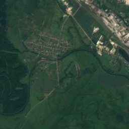
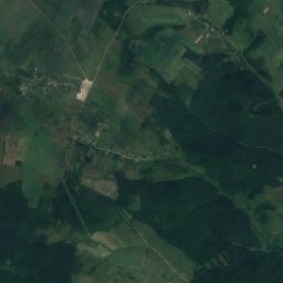
Satellite: Sentinel-2 cloudless 2016 by EOX IT Services GmbH · CC BY 4.0 · Contains modified Copernicus Sentinel data 2016
27 km NE

Gora Kamula

406 m
Gora Kamula

Heritage

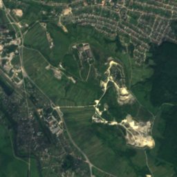
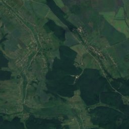
Satellite: Sentinel-2 cloudless 2016 by EOX IT Services GmbH · CC BY 4.0 · Contains modified Copernicus Sentinel data 2016
1.6 km S

Zaklad Park

architectural monument of local significance of Ukraine · 1984
Zaklad Park
Saint Pantaleon church, Honiatychi
Photo: jackie riceman · CC BY 2.0 · Wikimedia CommonsReport this photo · linked, not stored
2.8 km W

Saint Pantaleon church, Honiatychi

architectural monument of local significance of Ukraine
Saint Pantaleon church, Honiatychi
Palace in Rozdil
Photo: Шиманський Василь · CC BY-SA 3.0 · Wikimedia CommonsReport this photo · linked, not stored
15 km SE

Palace in Rozdil

architectural monument of local significance of Ukraine
Palace in Rozdil

Museums

Музей пам'яті жертв сталінських репресій
Photo: Ratskui · CC BY-SA 3.0 · Wikimedia CommonsReport this photo · linked, not stored
11 km NW

Музей пам'яті жертв сталінських репресій

2009
Музей пам'яті жертв сталінських репресій
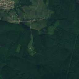
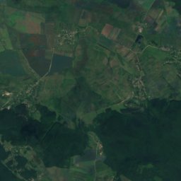
Satellite: Sentinel-2 cloudless 2016 by EOX IT Services GmbH · CC BY 4.0 · Contains modified Copernicus Sentinel data 2016
10 km N

AirCrash museum

2020
AirCrash museum
Satellite: Sentinel-2 cloudless 2016 by EOX IT Services GmbH · CC BY 4.0 · Contains modified Copernicus Sentinel data 2016
5.6 km SE

Народний музей імені Уляни Кравченко і Миколи Устияновича

1991
Народний музей імені Уляни Кравченко і Миколи Устияновича