
Photo: Allen Turner · CC BY-SA 3.0 · Wikimedia Commons
Kâğıthane CreekReport this photo · linked, not stored
Kâğıthane CreekReport this photo · linked, not stored

Photo: HalitBaris · CC BY-SA 4.0 · Wikimedia Commons
Galatasaray IsletReport this photo · linked, not stored
Galatasaray IsletGalatasaray IsletReport this photo · linked, not stored

Photo: CeeGee · CC BY-SA 4.0 · Wikimedia Commons
Yarımburgaz CaveReport this photo · linked, not stored
Yarımburgaz CaveYarımburgaz CaveReport this photo · linked, not stored
RiverŞişli, Istanbul
Kâğıthane Creek
RiverBest May–Jun · Sep
Elevation–above sea level
Area–surface
Nearest townŞişli3.4 km
41.06° N, 28.95° EUTC+3 · Türkiye Standard Time
When to goŞişli · weather score
Best timeMay–Jun · Sep
October: high / low20° / 13°
River
Kâğıthane Creek in brief
Kâğıthane Creek is a river in Şişli, Istanbul, Türkiye — river in Turkey.
The nearest town in the atlas is Şişli, 3.4 km to the E, where the weather is best in May, June and September.
Weather nearby now
Forecast for Şişli19°
Sunny now
Today
22 Oct
23°
13°
Fri
23 Oct
22°
13°
4 mm
Sat
24 Oct
20°
13°
Sun
25 Oct
21°
12°
Mon
26 Oct
20°
14°
Model run 00:00 UTCRefreshed several times a day
The course of the river
As mapped in OpenStreetMap, with the towns of the atlas along its banks.sourcemouth (or where the mapped line leaves the country)
Map
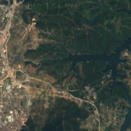
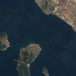
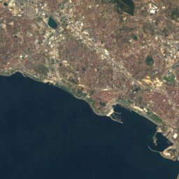
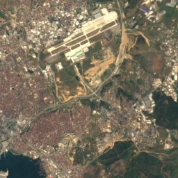
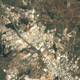
Kâğıthane Creek from above
Nature nearbyAll of Türkiye
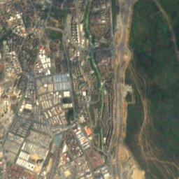
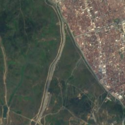
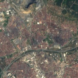
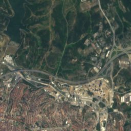
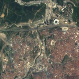
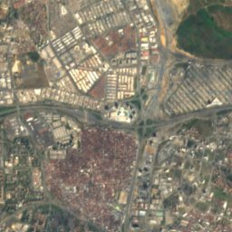
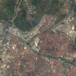
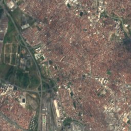
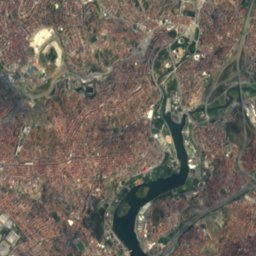
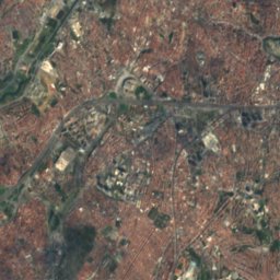
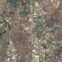
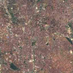
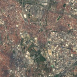
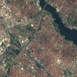
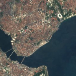
Satellite: Sentinel-2 cloudless 2016 by EOX IT Services GmbH · CC BY 4.0 · Contains modified Copernicus Sentinel data 2016

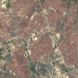
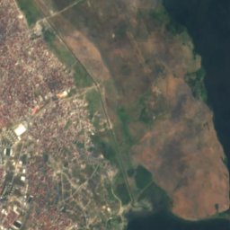
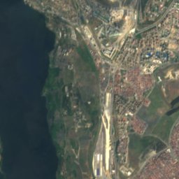
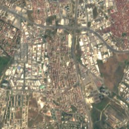
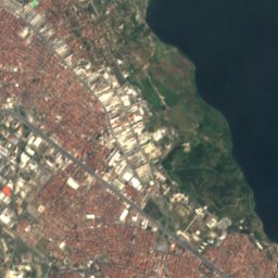
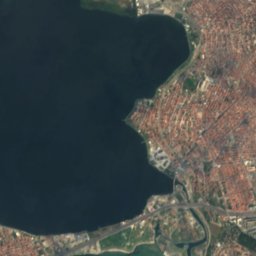
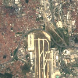
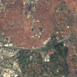
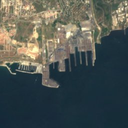
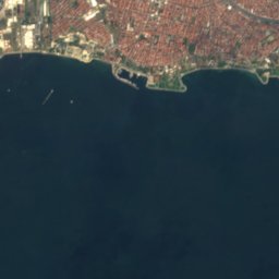
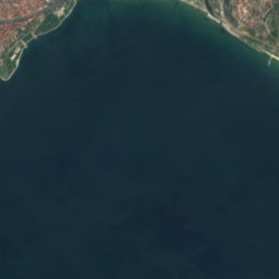
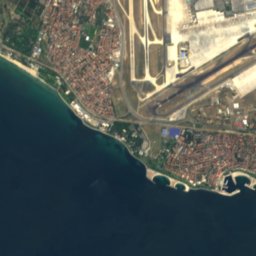
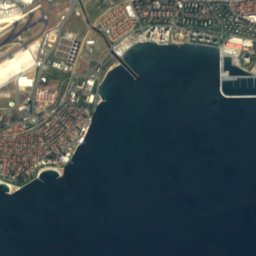
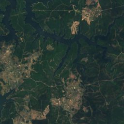
Satellite: Sentinel-2 cloudless 2016 by EOX IT Services GmbH · CC BY 4.0 · Contains modified Copernicus Sentinel data 2016
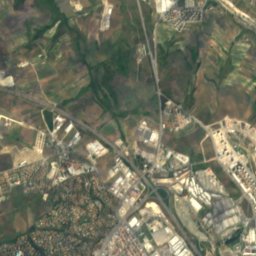
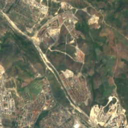
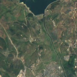
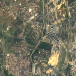
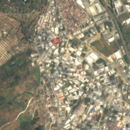
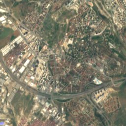
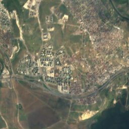
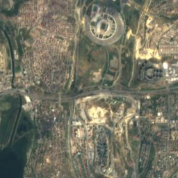
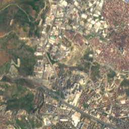
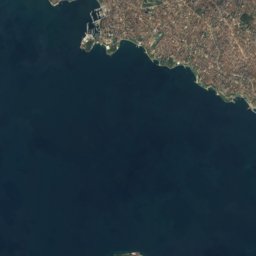
Satellite: Sentinel-2 cloudless 2016 by EOX IT Services GmbH · CC BY 4.0 · Contains modified Copernicus Sentinel data 2016

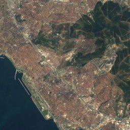
Satellite: Sentinel-2 cloudless 2016 by EOX IT Services GmbH · CC BY 4.0 · Contains modified Copernicus Sentinel data 2016
Stay nearby
Towns close by


Around here
Şişli and around
Nature
Satellite: Sentinel-2 cloudless 2016 by EOX IT Services GmbH · CC BY 4.0 · Contains modified Copernicus Sentinel data 2016
Lycus
River

Mountains
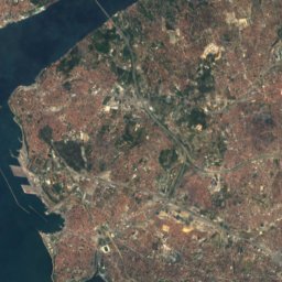
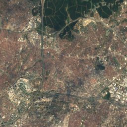
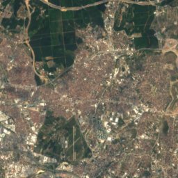
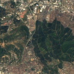
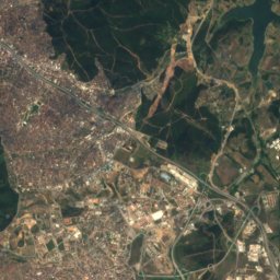
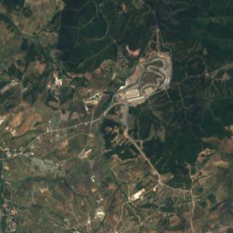
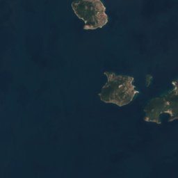
Satellite: Sentinel-2 cloudless 2016 by EOX IT Services GmbH · CC BY 4.0 · Contains modified Copernicus Sentinel data 2016
Aydos Hill
537 m


