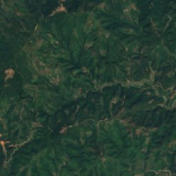
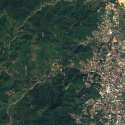
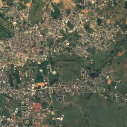
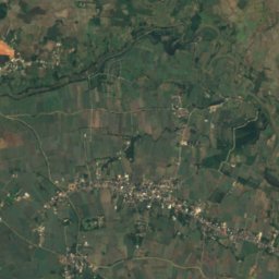
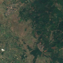
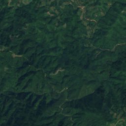
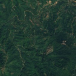
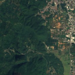
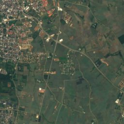
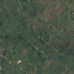
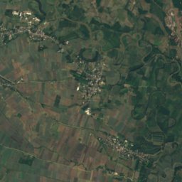
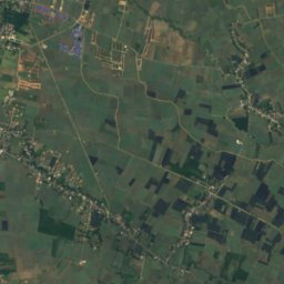
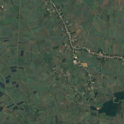
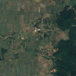
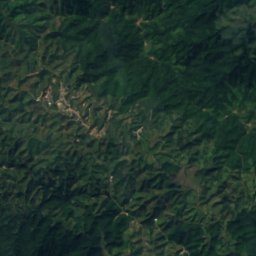
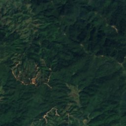
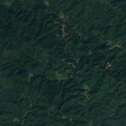
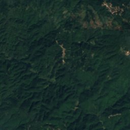
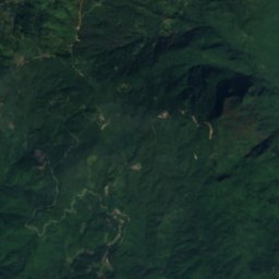
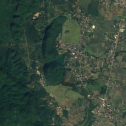
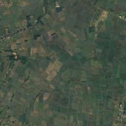
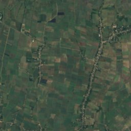
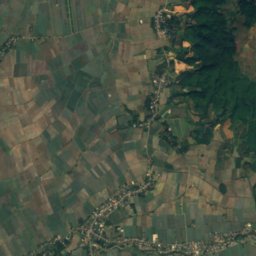
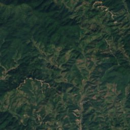
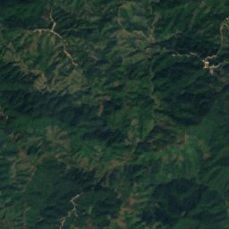
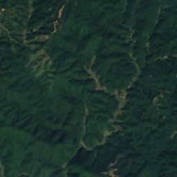
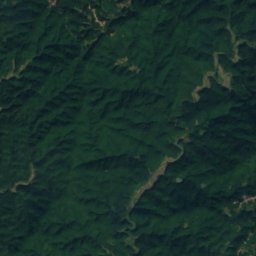
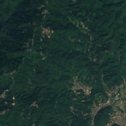
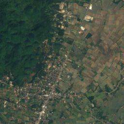
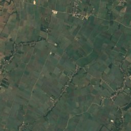
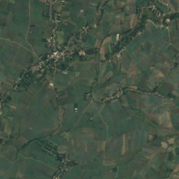
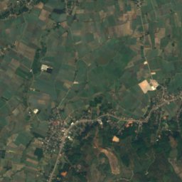
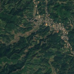
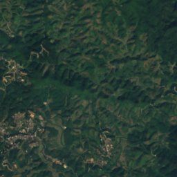
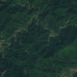
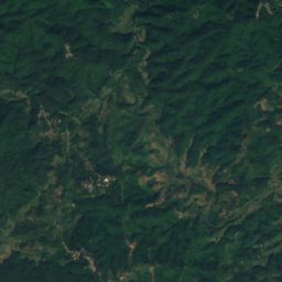
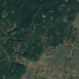
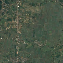
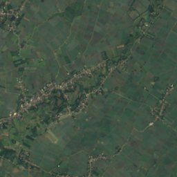
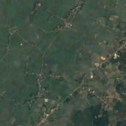
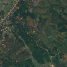
Satellite: Sentinel-2 cloudless 2016 by EOX IT Services GmbH · CC BY 4.0 · Contains modified Copernicus Sentinel data 2016
 Sai River

Photo: For a gallery of some more of my uploaded pictures see: here. · CC0 · Wikimedia Commons
Ruak RiverReport this photo · linked, not stored
Ruak RiverRuak RiverReport this photo · linked, not stored
 Doi Tung
CaveMae Sai, Chiang Rai
Tham Pla
CaveBest Jan · Nov–Dec
Elevation–above sea level
Inside24°Call year
Nearest townMae Sai11 km
20.33° N, 99.86° EUTC+7 · Indochina Time
When to goMae Sai · weather score
Best timeJan · Nov–Dec
October: high / low28° / 21°
Cave
Tham Pla in brief
Tham Pla is a cave in Mae Sai, Chiang Rai, Thailand.
The nearest town in the atlas is Mae Sai, 11 km to the N, where the weather is best in January, November and December.
Inside, a cave stays close to the average yearly air temperature outside: about 24°C all year.
Weather nearby now
Forecast for Mae Sai26°
Clear now
Today
22 Oct
30°
24°
Fri
23 Oct
31°
23°
Sat
24 Oct
32°
24°
Sun
25 Oct
32°
24°
Mon
26 Oct
31°
25°
1 mm
Model run 00:00 UTCRefreshed several times a day
Map
Tham Pla from above
Nature nearbyAll of Thailand
Satellite: Sentinel-2 cloudless 2016 by EOX IT Services GmbH · CC BY 4.0 · Contains modified Copernicus Sentinel data 2016
Satellite: Sentinel-2 cloudless 2016 by EOX IT Services GmbH · CC BY 4.0 · Contains modified Copernicus Sentinel data 2016
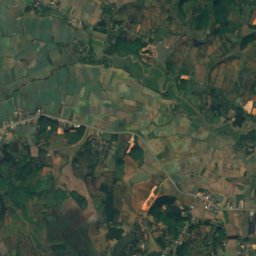
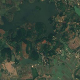
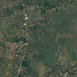
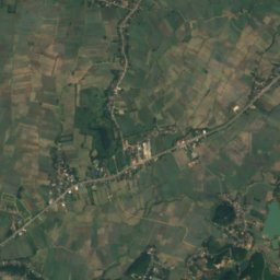
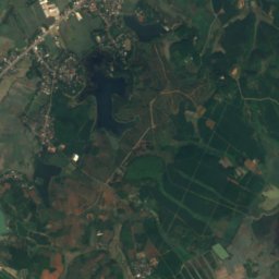
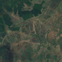
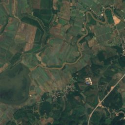
Satellite: Sentinel-2 cloudless 2016 by EOX IT Services GmbH · CC BY 4.0 · Contains modified Copernicus Sentinel data 2016
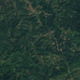
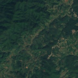
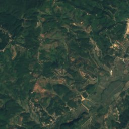
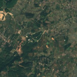
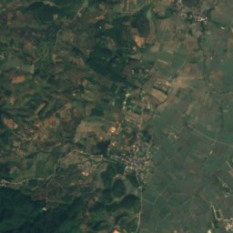
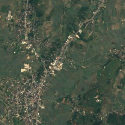
Satellite: Sentinel-2 cloudless 2016 by EOX IT Services GmbH · CC BY 4.0 · Contains modified Copernicus Sentinel data 2016

Photo: For a gallery of some more of my uploaded pictures see: here. · CC0 · Wikimedia CommonsReport this photo · linked, not stored
Summits nearbyMountains of Thailand

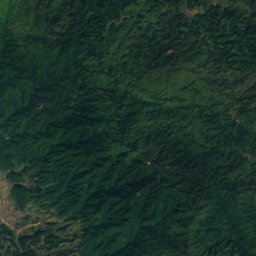
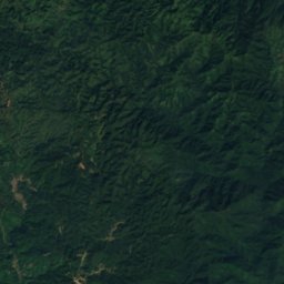
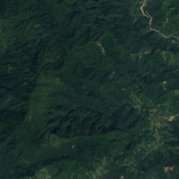
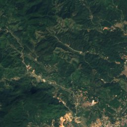
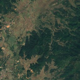
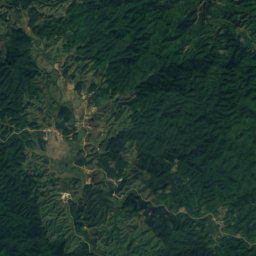
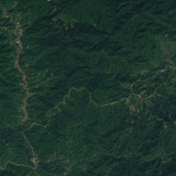
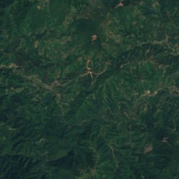
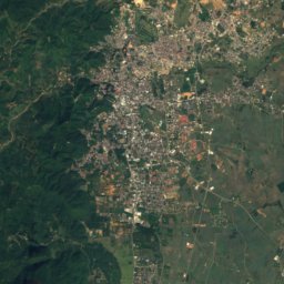
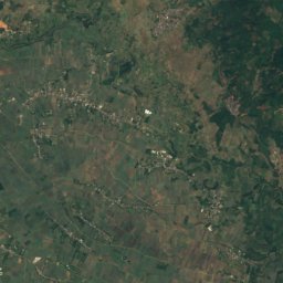
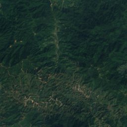
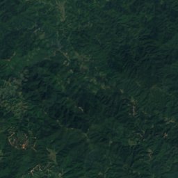
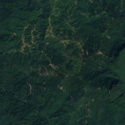
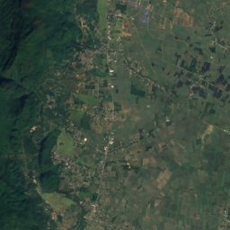
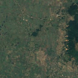
Satellite: Sentinel-2 cloudless 2016 by EOX IT Services GmbH · CC BY 4.0 · Contains modified Copernicus Sentinel data 2016
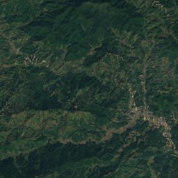
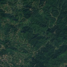
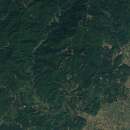
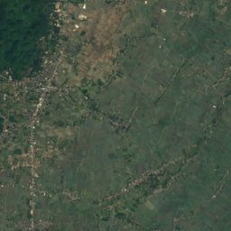
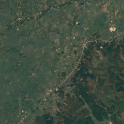
Satellite: Sentinel-2 cloudless 2016 by EOX IT Services GmbH · CC BY 4.0 · Contains modified Copernicus Sentinel data 2016
Satellite: Sentinel-2 cloudless 2016 by EOX IT Services GmbH · CC BY 4.0 · Contains modified Copernicus Sentinel data 2016
Stay nearby
Towns close by

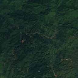
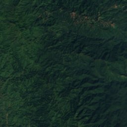
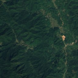
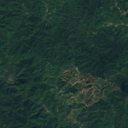
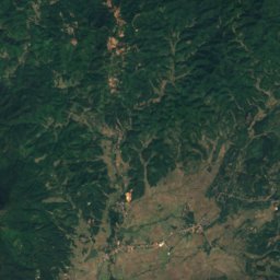
Satellite: Sentinel-2 cloudless 2016 by EOX IT Services GmbH · CC BY 4.0 · Contains modified Copernicus Sentinel data 2016
Tachileik
Shan State · 13 km N
28°Oct high
13wet days
52score

Around here
Mae Sai and around
Nature
Satellite: Sentinel-2 cloudless 2016 by EOX IT Services GmbH · CC BY 4.0 · Contains modified Copernicus Sentinel data 2016
Tham Luang
Cave
Mountains
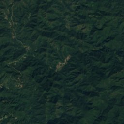
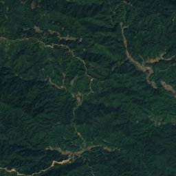
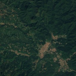
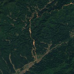
Satellite: Sentinel-2 cloudless 2016 by EOX IT Services GmbH · CC BY 4.0 · Contains modified Copernicus Sentinel data 2016
Loi Punghpa
1,763 m
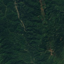
Satellite: Sentinel-2 cloudless 2016 by EOX IT Services GmbH · CC BY 4.0 · Contains modified Copernicus Sentinel data 2016
Loi Nawngkang
1,630 m


