Nature
Waters, ice and wild places of Tajikistan
Lakes, waterfalls, glaciers, national parks and mountain huts, each with its location, its size and the weather of the towns around it.
Lakes8with a page
National parks2with a page
Islands2with a page
Caves1with a page

Lakes
Lakes of Tajikistan


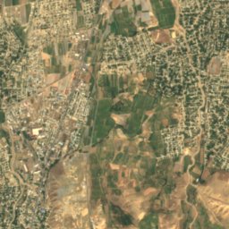
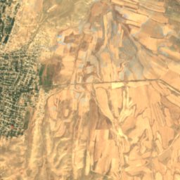
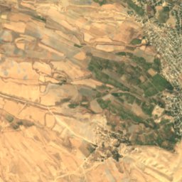
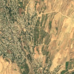
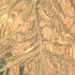
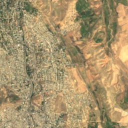
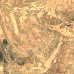
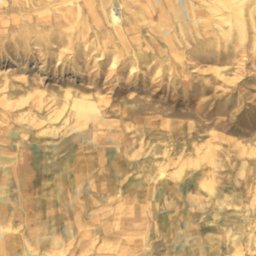
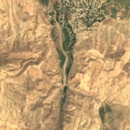
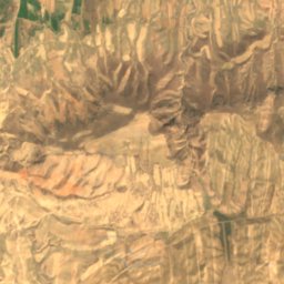
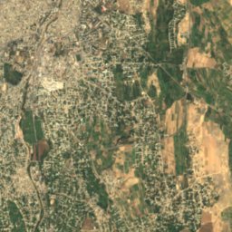
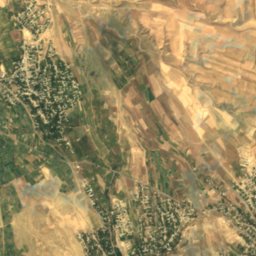
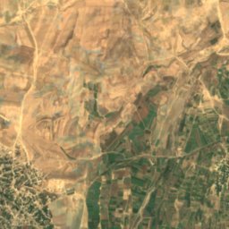
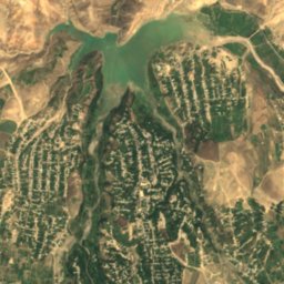
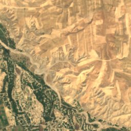
Satellite: Sentinel-2 cloudless 2016 by EOX IT Services GmbH · CC BY 4.0 · Contains modified Copernicus Sentinel data 2016
Obanbori Dahanasoy
Itorchi, Sughd
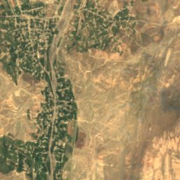
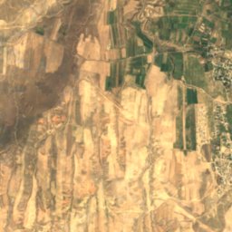
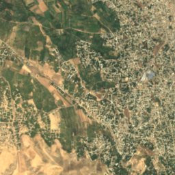
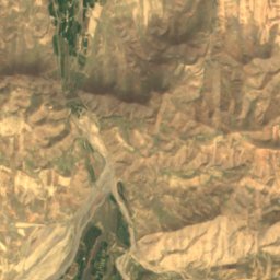
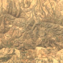
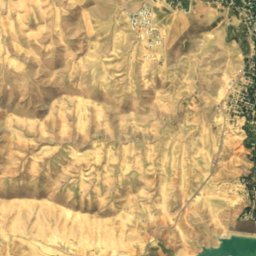
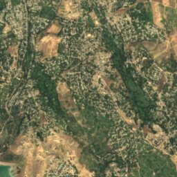
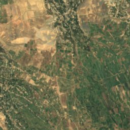
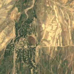
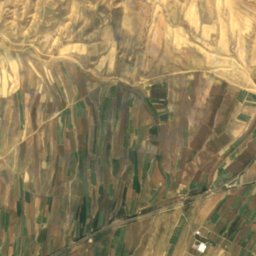
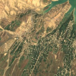
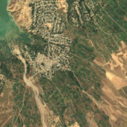
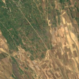
Satellite: Sentinel-2 cloudless 2016 by EOX IT Services GmbH · CC BY 4.0 · Contains modified Copernicus Sentinel data 2016
Obanbori Kattasoy
Istaravshan, Sughd
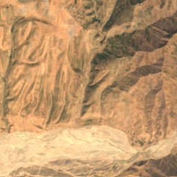
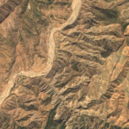

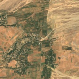
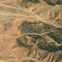
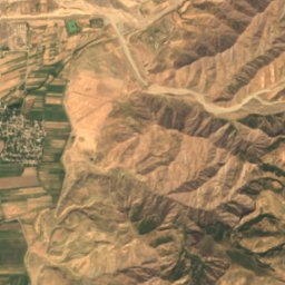
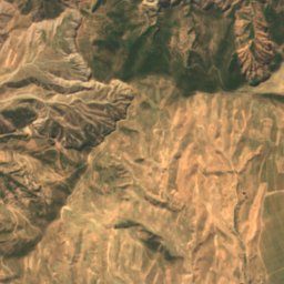
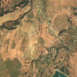
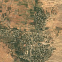
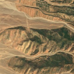
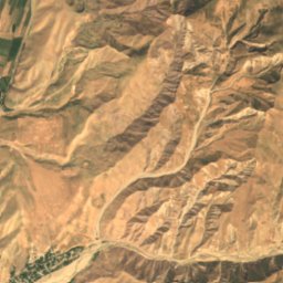
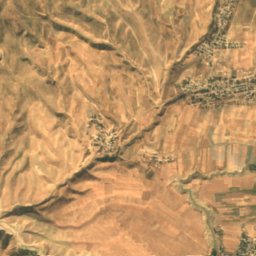
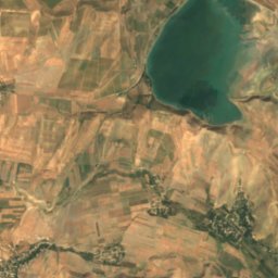
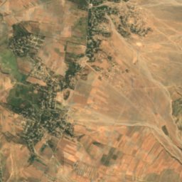
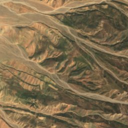
Satellite: Sentinel-2 cloudless 2016 by EOX IT Services GmbH · CC BY 4.0 · Contains modified Copernicus Sentinel data 2016
Obanbori Mŭ'minobod
Mu'minobod, Khatlon Province
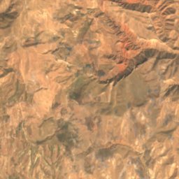
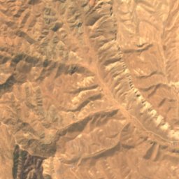
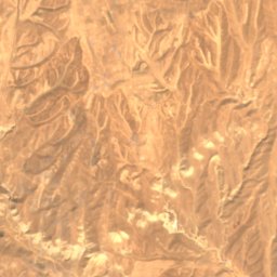
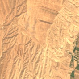
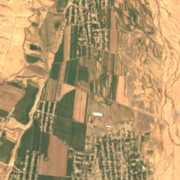
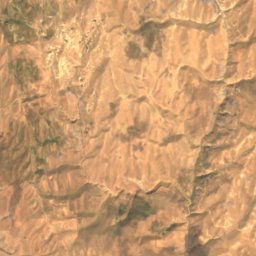
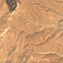
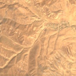
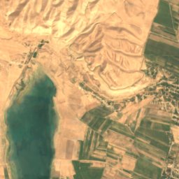
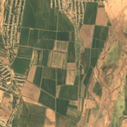
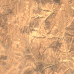
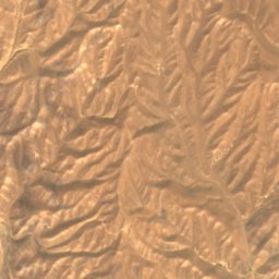
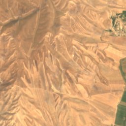
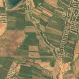
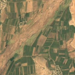
Satellite: Sentinel-2 cloudless 2016 by EOX IT Services GmbH · CC BY 4.0 · Contains modified Copernicus Sentinel data 2016
Obanbori Selbur
Hulbuk, Khatlon Province
582 m
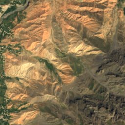
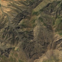
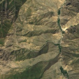
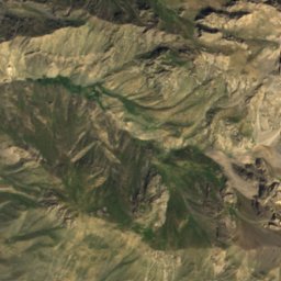
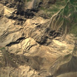
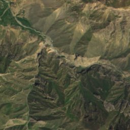
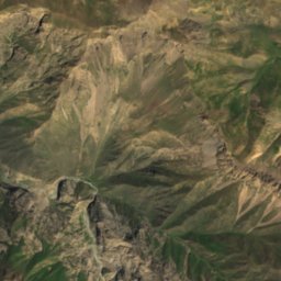
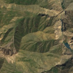
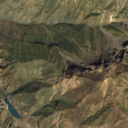
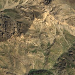
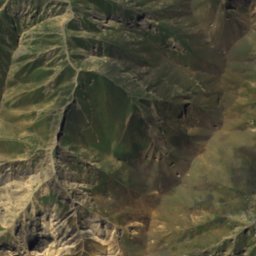
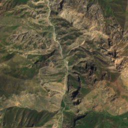
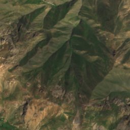

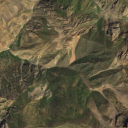
Satellite: Sentinel-2 cloudless 2016 by EOX IT Services GmbH · CC BY 4.0 · Contains modified Copernicus Sentinel data 2016
Nofin
Chorbogh, Sughd
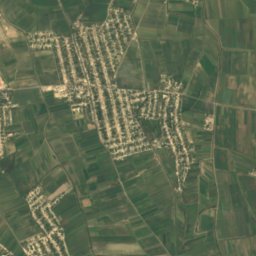
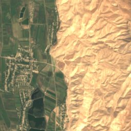
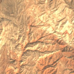
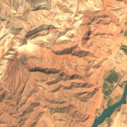
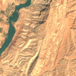
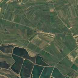
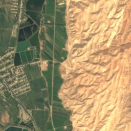
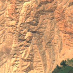
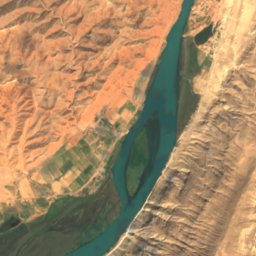
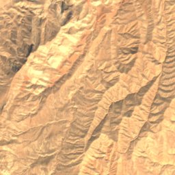
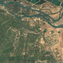
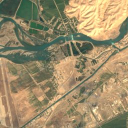
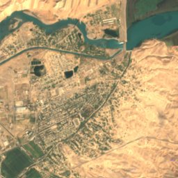
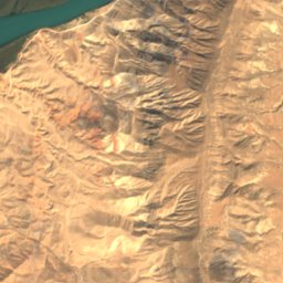
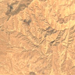
Satellite: Sentinel-2 cloudless 2016 by EOX IT Services GmbH · CC BY 4.0 · Contains modified Copernicus Sentinel data 2016
Sarband reservoir
Kirov, Khatlon Province
National parks
National parks of Tajikistan

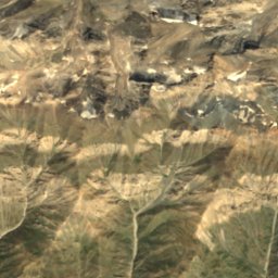
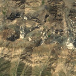
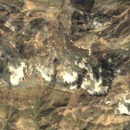
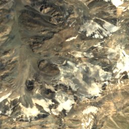
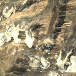
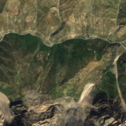
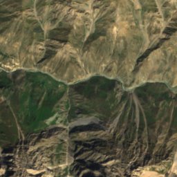
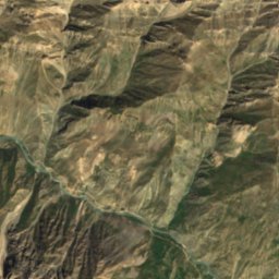
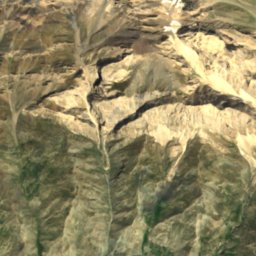
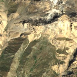
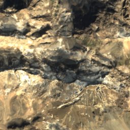
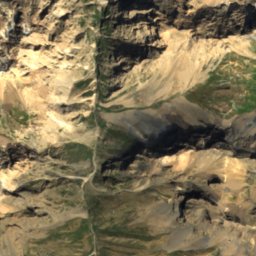
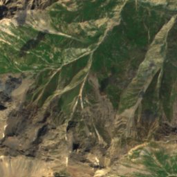
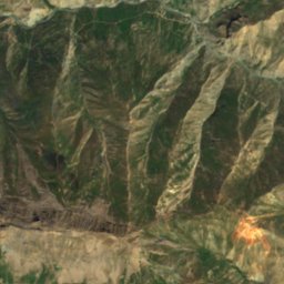
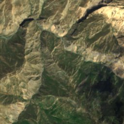
Satellite: Sentinel-2 cloudless 2016 by EOX IT Services GmbH · CC BY 4.0 · Contains modified Copernicus Sentinel data 2016
Yaghnob National Nature Park
Kalon, Republican Subordination
1 km²
Islands
Islands of Tajikistan
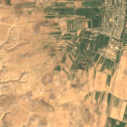
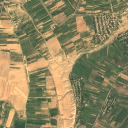
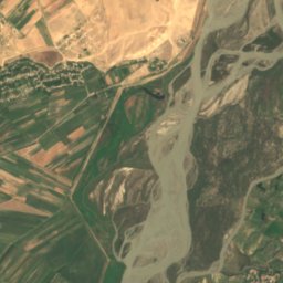
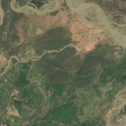
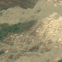
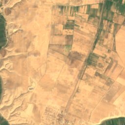
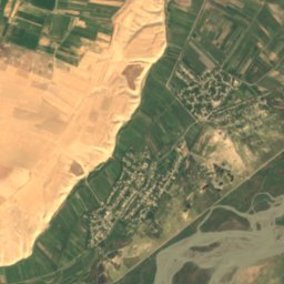
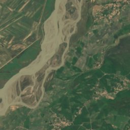
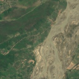
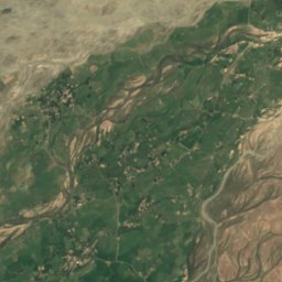
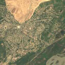
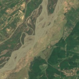
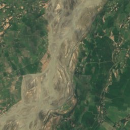
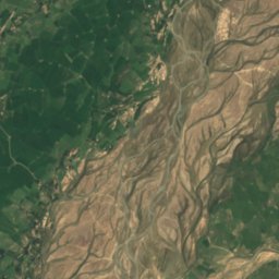
Satellite: Sentinel-2 cloudless 2016 by EOX IT Services GmbH · CC BY 4.0 · Contains modified Copernicus Sentinel data 2016
Urta Tagail
Farkhor, Khatlon Province
456 m
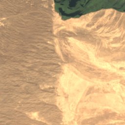
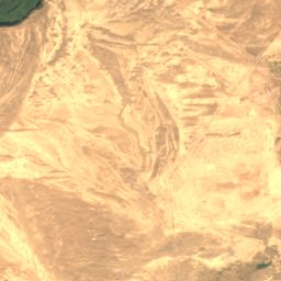
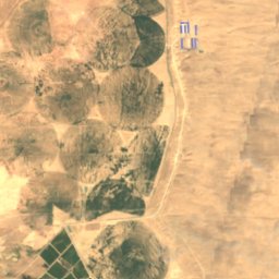
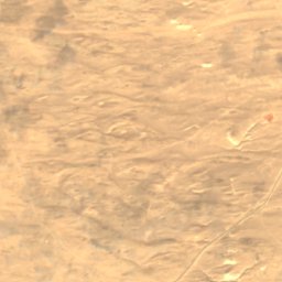
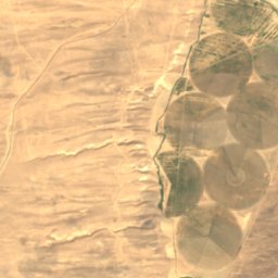
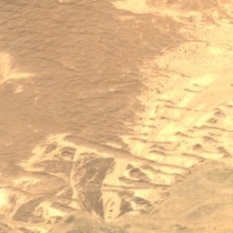
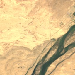
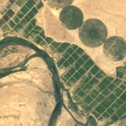
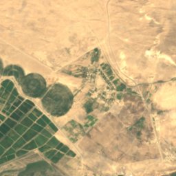
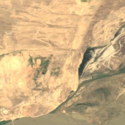
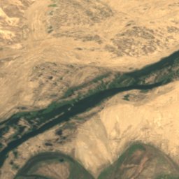
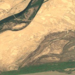
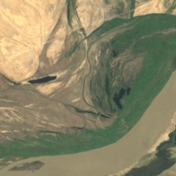
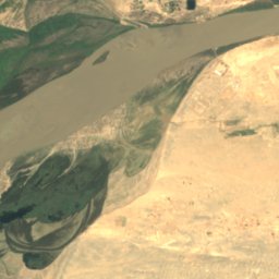
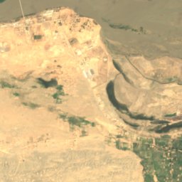
Satellite: Sentinel-2 cloudless 2016 by EOX IT Services GmbH · CC BY 4.0 · Contains modified Copernicus Sentinel data 2016
Jazīrah-ye Patah Manzil
Panji Poyon, Khatlon Province
324 m
Caves
Caves of Tajikistan

Rivers
Rivers of Tajikistan


Photo: Prince Roy from Ho Chi Minh City, Vietnam · CC BY 2.0 · Wikimedia CommonsReport this photo · linked, not stored
Khanaka River
Hisor, Republican Subordination


All 27 rivers
- Ak-Suu River (Syr Darya)
- Byuragan
- Dorayangnove
- Fan Darya
- Gunt River
- Isfana
- Iskander Darya
- Karatag
- Khanaka River
- Khodzhabakirgan
- Kshtut
- Kyzylsu River, Khatlon Province
- Kyzylsu River, Republican Subordination
- Luchob
- Muksu River
- Panj River
- Pasrut
- river Ilak
- Sangzor
- Simiganj River
- Vakhsh River
- Vanj River
- Varzob
- Yaghnob River
- Yaskak-Su
- Yazgulyam River
- Zambar River