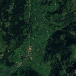
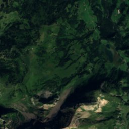
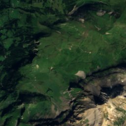
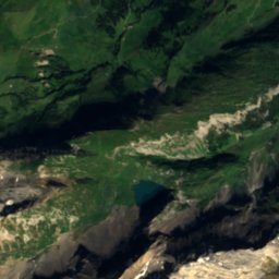
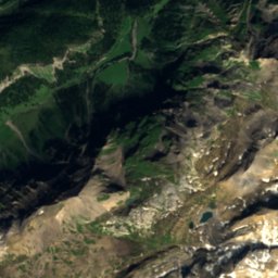
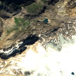
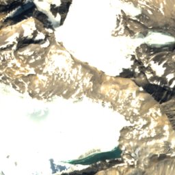
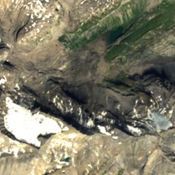
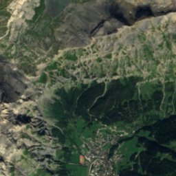
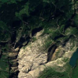
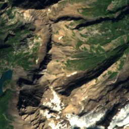
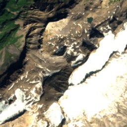
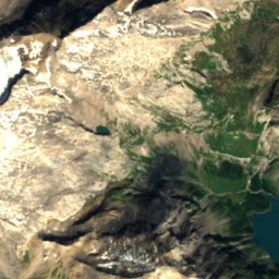
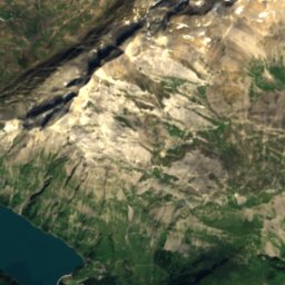
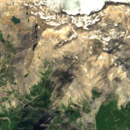
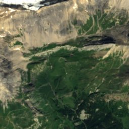
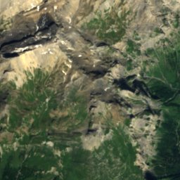
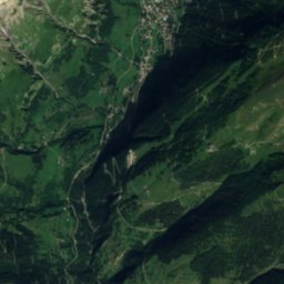
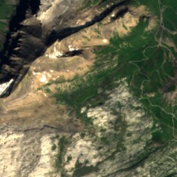
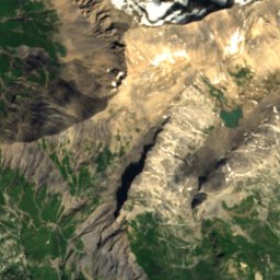
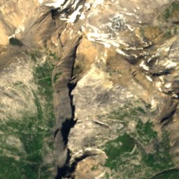
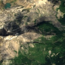
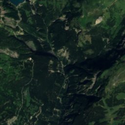
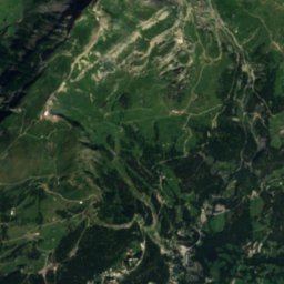
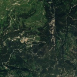
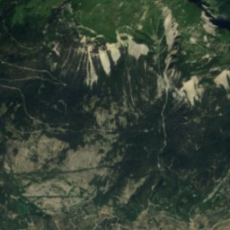
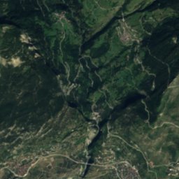
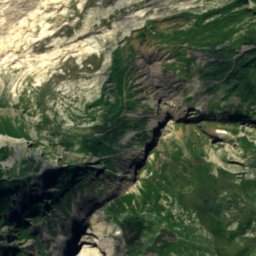
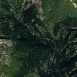
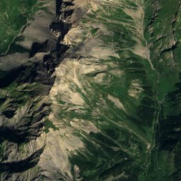
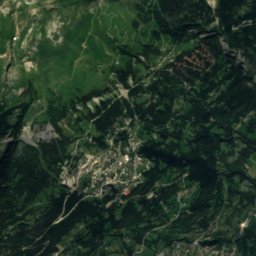
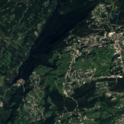
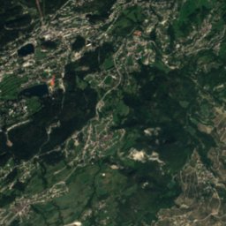
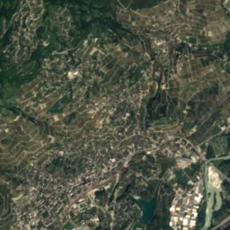
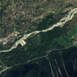
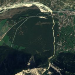
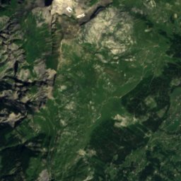
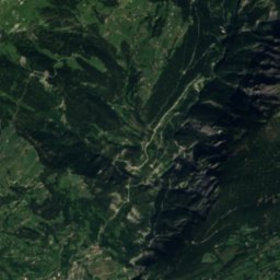
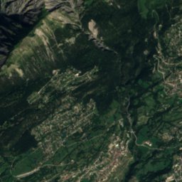
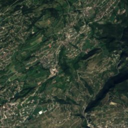
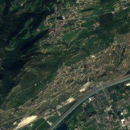
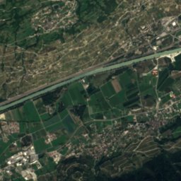
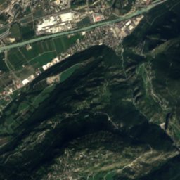
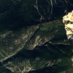
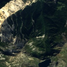
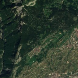
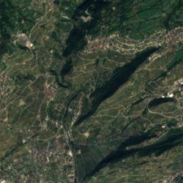
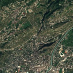
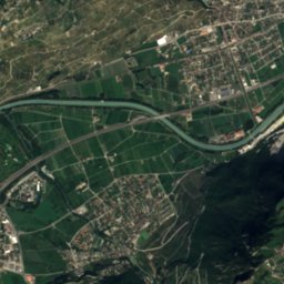
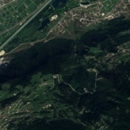
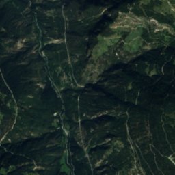
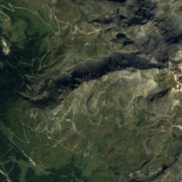
Satellite: Sentinel-2 cloudless 2016 by EOX IT Services GmbH · CC BY 4.0 · Contains modified Copernicus Sentinel data 2016

Photo: Ulrich Mayring · CC BY-SA 3.0 · Wikimedia Commons
Etang de la MoubraReport this photo · linked, not stored
Etang de la MoubraEtang de la MoubraReport this photo · linked, not stored

Photo: Zacharie Grossen · CC BY-SA 3.0 · Wikimedia Commons
Etang GrenonReport this photo · linked, not stored
Etang GrenonEtang GrenonReport this photo · linked, not stored

Photo: Jo in Riederalp · CC BY-SA 3.0 · Wikimedia Commons
BalmhornReport this photo · linked, not stored
BalmhornBalmhornReport this photo · linked, not stored

Photo: Christian David · CC BY-SA 4.0 · Wikimedia Commons
Les DiablonsReport this photo · linked, not stored
Les DiablonsLes DiablonsReport this photo · linked, not stored
LakeLens, Valais
Etang des Miriouges
Lake1,332 m elevationBest Jun–Aug
Elevation1,332 mabove sea level
Area–surface
Nearest townLens1.3 km
46.29° N, 7.46° EElevation 1,332 mUTC+2 · Central European Summer Time
When to goLens · weather score
Best timeJun–Aug
October: high / low14° / 4°
Lake
Etang des Miriouges in brief
Etang des Miriouges is a lake in Lens, Valais, Switzerland.
It lies at 1,332 m above sea level.
The nearest town in the atlas is Lens, 1.3 km to the SW, where the weather is best in June, July and August.
Weather nearby now
Forecast for Lens5°
Cloudy now
Today
23 Oct
8°
3°
7 mm
Sat
24 Oct
6°
2°
8 mm
Sun
25 Oct
11°
5°
24 mm
Mon
26 Oct
13°
1°
Tue
27 Oct
19°
7°
Model run 12:00 UTCRefreshed several times a day
When to go
Climate of LensThe best months around Etang des Miriouges
Month score in Lens
Comfort, dry days and sunshine · out of 10024
Jan
27
Feb
22
Mar
32
Apr
55
May
65
Jun
67
Jul
66
Aug
64
Sep
43
Oct
21
Nov
21
Dec
Map
Etang des Miriouges from above
Nature nearbyAll of Switzerland
Satellite: Sentinel-2 cloudless 2016 by EOX IT Services GmbH · CC BY 4.0 · Contains modified Copernicus Sentinel data 2016
Satellite: Sentinel-2 cloudless 2016 by EOX IT Services GmbH · CC BY 4.0 · Contains modified Copernicus Sentinel data 2016
Satellite: Sentinel-2 cloudless 2016 by EOX IT Services GmbH · CC BY 4.0 · Contains modified Copernicus Sentinel data 2016

Satellite: Sentinel-2 cloudless 2016 by EOX IT Services GmbH · CC BY 4.0 · Contains modified Copernicus Sentinel data 2016

Summits nearbyMountains of Switzerland

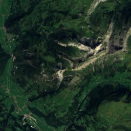
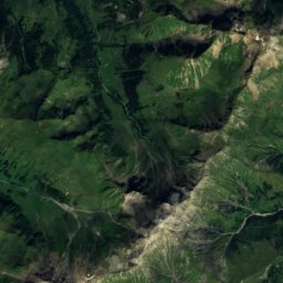
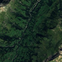
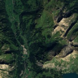
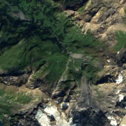
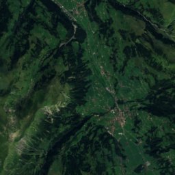
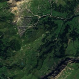
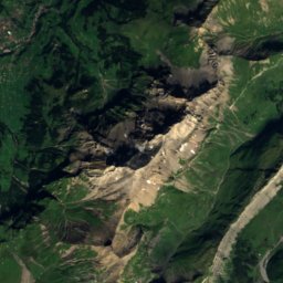
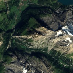
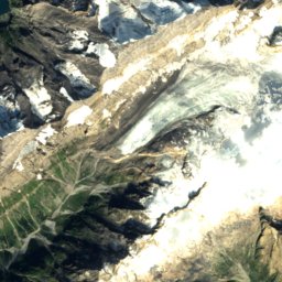
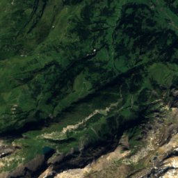
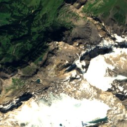
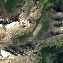
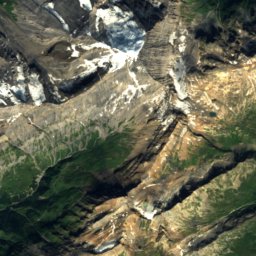
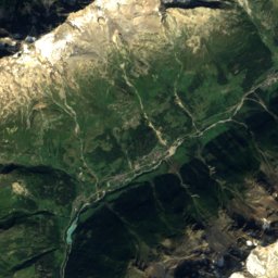
Satellite: Sentinel-2 cloudless 2016 by EOX IT Services GmbH · CC BY 4.0 · Contains modified Copernicus Sentinel data 2016

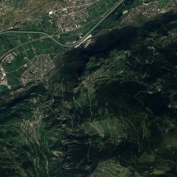
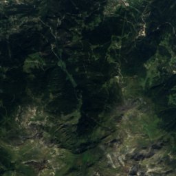
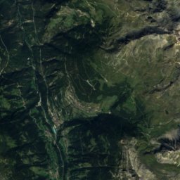
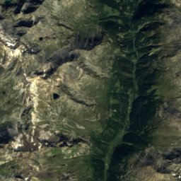
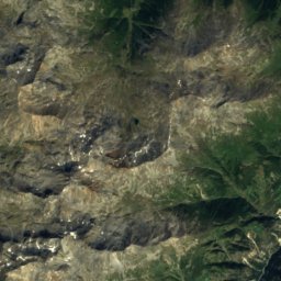
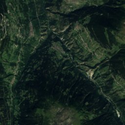
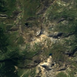
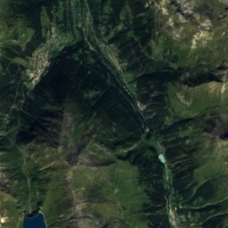
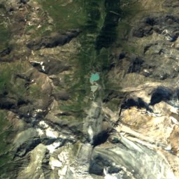
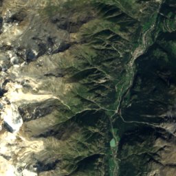
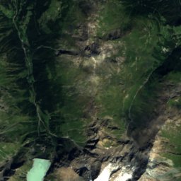
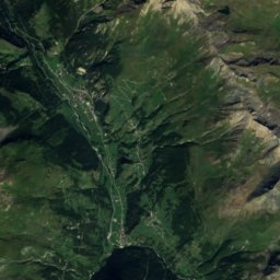
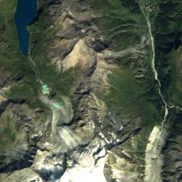
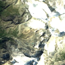
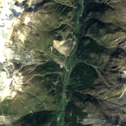
Satellite: Sentinel-2 cloudless 2016 by EOX IT Services GmbH · CC BY 4.0 · Contains modified Copernicus Sentinel data 2016

Satellite: Sentinel-2 cloudless 2016 by EOX IT Services GmbH · CC BY 4.0 · Contains modified Copernicus Sentinel data 2016
Stay nearby
Towns close by


Around here
Lens and around
Nature

Photo: Borsic at English Wikipedia · CC BY-SA 3.0 · Wikimedia CommonsReport this photo · linked, not stored
Saint-Léonard underground lake
Cave · 509 m


Mountains


Heritage
Satellite: Sentinel-2 cloudless 2016 by EOX IT Services GmbH · CC BY 4.0 · Contains modified Copernicus Sentinel data 2016
Lens
Swiss townscape worthy of protection

Christ the King statue
class B Swiss cultural property of regional significance · 1935

Painted House (former Inn)
class B Swiss cultural property of regional significance
Museums

Satellite: Sentinel-2 cloudless 2016 by EOX IT Services GmbH · CC BY 4.0 · Contains modified Copernicus Sentinel data 2016


