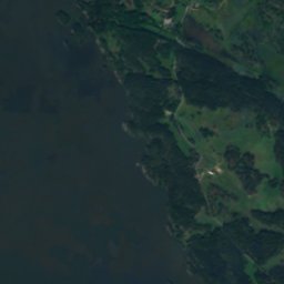
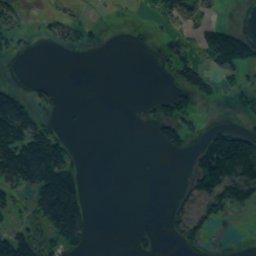
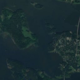
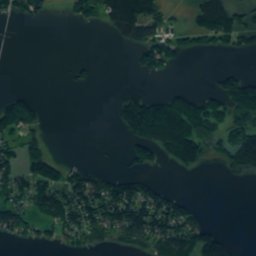
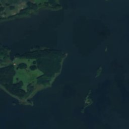
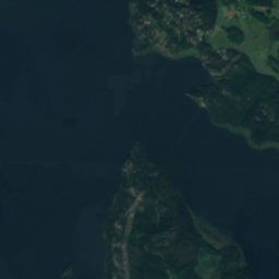
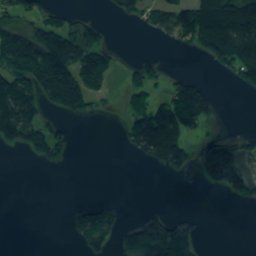
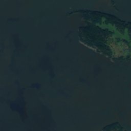
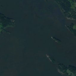
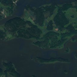
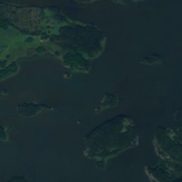
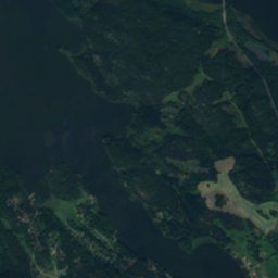
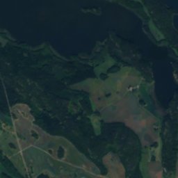
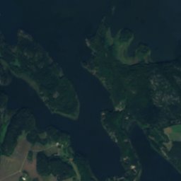
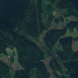
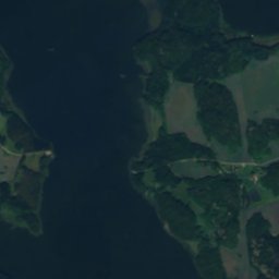
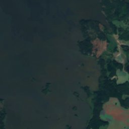
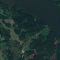
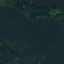
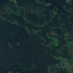
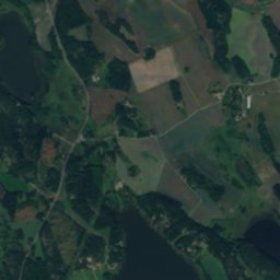
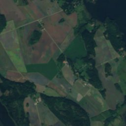
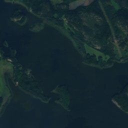
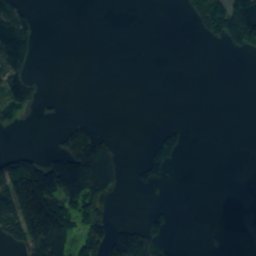
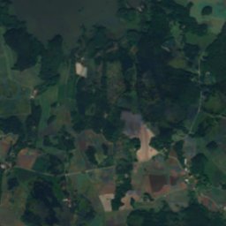
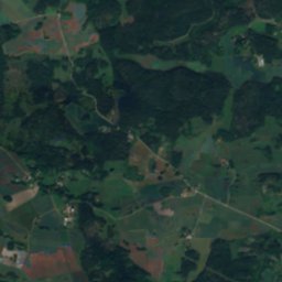
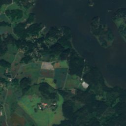
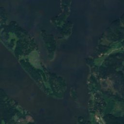
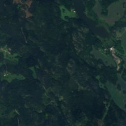
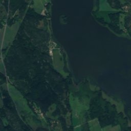
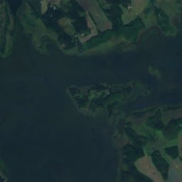
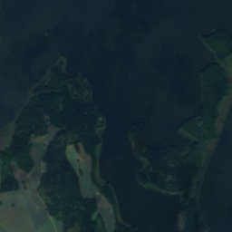
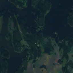
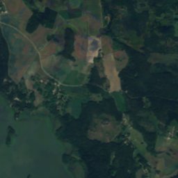
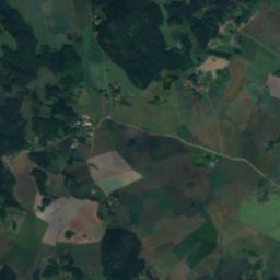
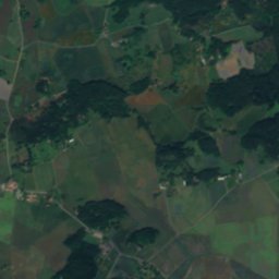
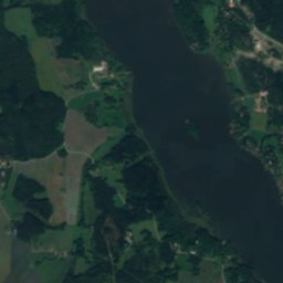
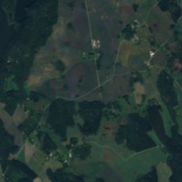
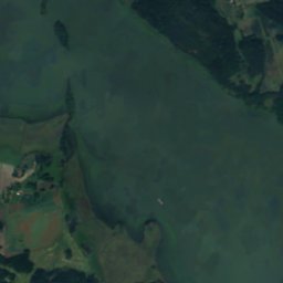
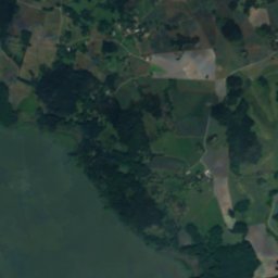
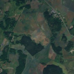
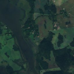
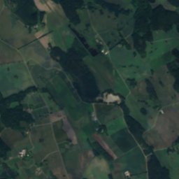
Satellite: Sentinel-2 cloudless 2016 by EOX IT Services GmbH · CC BY 4.0 · Contains modified Copernicus Sentinel data 2016
 Märsön
 Algöholm

Photo: Holger.Ellgaard · CC BY-SA 3.0 · Wikimedia Commons
TynnelsöReport this photo · linked, not stored
TynnelsöTynnelsöReport this photo · linked, not stored
IslandSträngnäs, Södermanland
Tosterön
IslandBest Jun–Jul · Sep
Elevation–above sea level
Area–surface
Nearest townSträngnäs9.3 km
59.46° N, 17.02° EUTC+2 · Central European Summer Time
When to goSträngnäs · weather score
Best timeJun–Jul · Sep
October: high / low10° / 4°
Island
Tosterön in brief
Tosterön is an island in Strängnäs, Södermanland, Sweden.
The nearest town in the atlas is Strängnäs, 9.3 km to the S, where the weather is best in June, July and September.
Weather nearby now
Forecast for Strängnäs12°
Cloudy now
Today
22 Oct
13°
10°
Fri
23 Oct
12°
7°
7 mm
Sat
24 Oct
12°
6°
1 mm
Sun
25 Oct
11°
8°
15 mm
Mon
26 Oct
12°
7°
1 mm
Model run 00:00 UTCRefreshed several times a day
Map
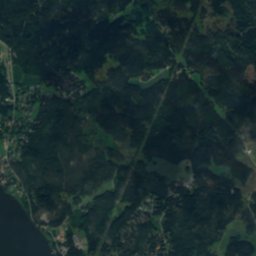
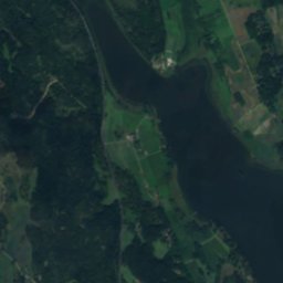
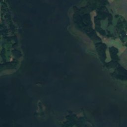
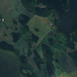
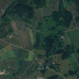
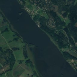
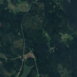
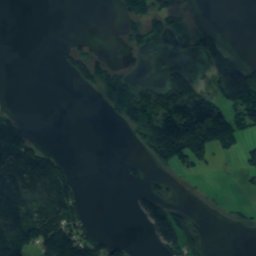
Tosterön from above
Nature nearbyAll of Sweden
Satellite: Sentinel-2 cloudless 2016 by EOX IT Services GmbH · CC BY 4.0 · Contains modified Copernicus Sentinel data 2016
Satellite: Sentinel-2 cloudless 2016 by EOX IT Services GmbH · CC BY 4.0 · Contains modified Copernicus Sentinel data 2016


Satellite: Sentinel-2 cloudless 2016 by EOX IT Services GmbH · CC BY 4.0 · Contains modified Copernicus Sentinel data 2016

Stay nearby
Towns close by

Photo: Pål-Nils Nilsson / Riksantikvarieämbetet · CC BY 2.5 · Wikimedia CommonsReport this photo · linked, not stored
Strängnäs
Södermanland · 9.3 km S
10°Oct high
12wet days
23score


Around here
Strängnäs and around
Photo: Pål-Nils Nilsson / Riksantikvarieämbetet · CC BY 2.5 · Wikimedia CommonsReport this photo · linked, not stored
Strängnäs
Södermanland · Sweden
Jun–Jul · Sepbest months
23°July high
14 maltitude
Nature
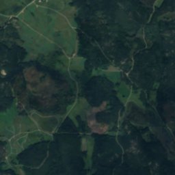
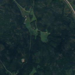
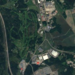
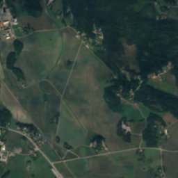
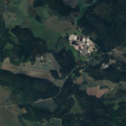
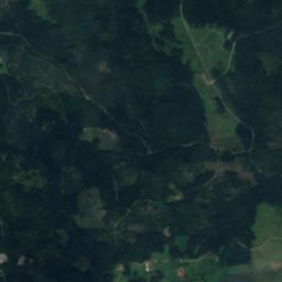
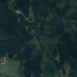
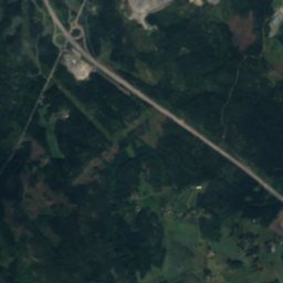
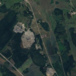
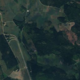
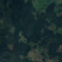
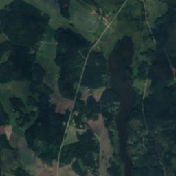
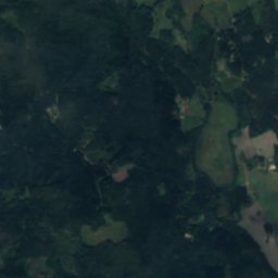
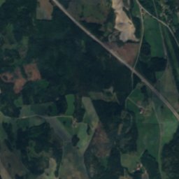
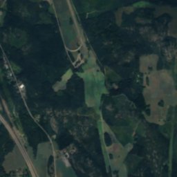
Satellite: Sentinel-2 cloudless 2016 by EOX IT Services GmbH · CC BY 4.0 · Contains modified Copernicus Sentinel data 2016
Bråtorpsjön
Lake · 22 m


Heritage


Photo: (WT-shared) Riggwelter at wts.wikivoyage · CC BY-SA 4.0 · Wikimedia CommonsReport this photo · linked, not stored
Strängnäs windmill
individual listed building complex · 1855

Museums


Satellite: Sentinel-2 cloudless 2016 by EOX IT Services GmbH · CC BY 4.0 · Contains modified Copernicus Sentinel data 2016
Väderkvarnen i Strängnäs



Satellite: Sentinel-2 cloudless 2016 by EOX IT Services GmbH · CC BY 4.0 · Contains modified Copernicus Sentinel data 2016