Skip to content
Destinations
Weather & climate
Nature
Outdoors
Culture
Events
Sky & live
Söljen
Photo: User: Jolleman · CC BY-SA 3.0 · Wikimedia Commons
SöljenReport this photo · linked, not stored
LakeSundhultsbrunn, Jönköping

Söljen

Lake200 m elevationBest Jun–Aug
Elevation200 mabove sea level
Area1.0 km²surface
Nearest townSundhultsbrunn1.2 km
57.92° N, 14.90° EElevation 200 mUTC+2 · Central European Summer Time
When to goSundhultsbrunn · weather score
JanFebMarAprMayJunJulAugSepOctNovDec16October
Best timeJun–Aug
October: high / low10° / 4°
Lake

Söljen in brief

Söljen is a lake in Sundhultsbrunn, Jönköping, Sweden.

It lies at 200 m above sea level and covers about 1.0 km².

The nearest town in the atlas is Sundhultsbrunn, 1.2 km to the NE, where the weather is best in June, July and August.

Sundhultsbrunn: weather and travel guide

Weather nearby now

Forecast for Sundhultsbrunn
11°
Rain now
Wind10 km/h
Humidity99%
Cloud cover100%
Today
22 Oct
12°
8°
8 mm
Fri
23 Oct
11°
5°
Sat
24 Oct
11°
6°
2 mm
Sun
25 Oct
10°
6°
11 mm
Mon
26 Oct
11°
6°
1 mm

Model run 00:00 UTCRefreshed several times a day

The lake's water

Surface, average depth and volume of the lake, and the length of its shore.
Surface1.0 km²
Average depth6 m
Volume6 million m³
Shoreline4.4 km
average depth 6 msurface at 200 m
When to go

The best months around Söljen

Climate of Sundhultsbrunn

Month score in Sundhultsbrunn

Comfort, dry days and sunshine · out of 100
17
Jan
20
Feb
26
Mar
30
Apr
50
May
64
Jun
64
Jul
63
Aug
51
Sep
16
Oct
11
Nov
11
Dec
Map

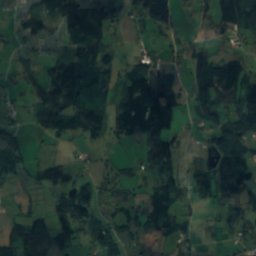
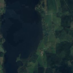
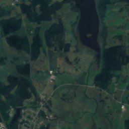
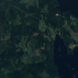
Söljen from above

Nature nearbyAll of Sweden
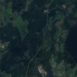
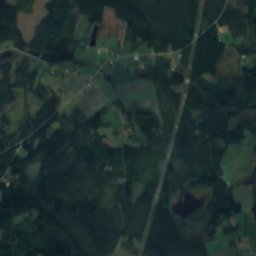
Satellite: Sentinel-2 cloudless 2016 by EOX IT Services GmbH · CC BY 4.0 · Contains modified Copernicus Sentinel data 2016
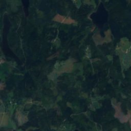
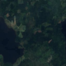
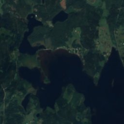
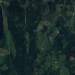
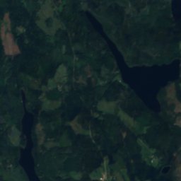
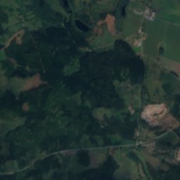
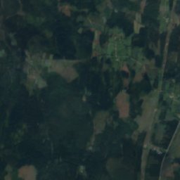
BylingsgölenLake9.6 kmSEBylingsgölen
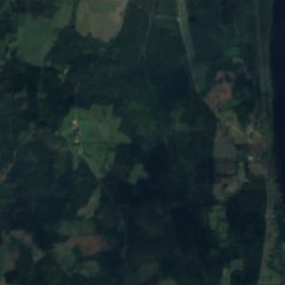
Satellite: Sentinel-2 cloudless 2016 by EOX IT Services GmbH · CC BY 4.0 · Contains modified Copernicus Sentinel data 2016
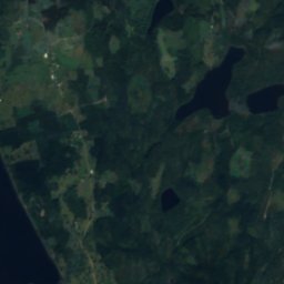
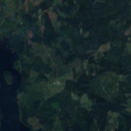
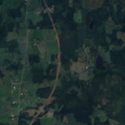
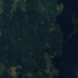
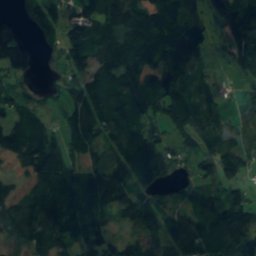
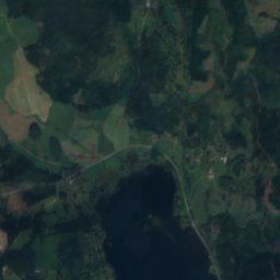
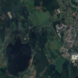
BordsjönLake11 kmSEBordsjön
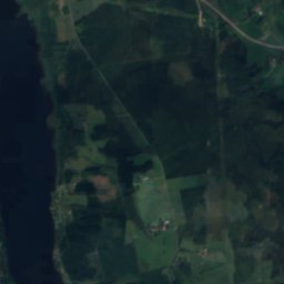
Satellite: Sentinel-2 cloudless 2016 by EOX IT Services GmbH · CC BY 4.0 · Contains modified Copernicus Sentinel data 2016
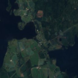
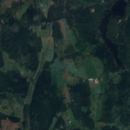
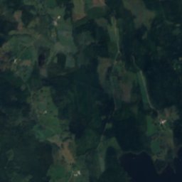
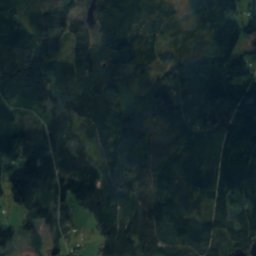
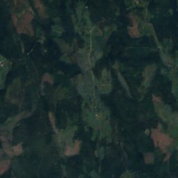
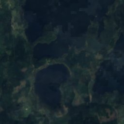
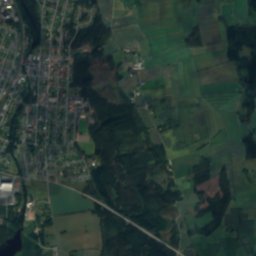
BörenäsgölenLake11 kmSEBörenäsgölen
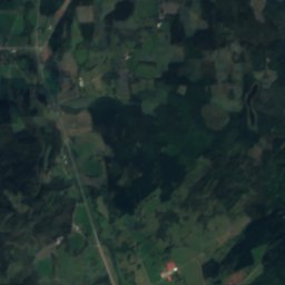
Satellite: Sentinel-2 cloudless 2016 by EOX IT Services GmbH · CC BY 4.0 · Contains modified Copernicus Sentinel data 2016
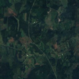
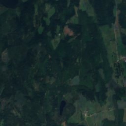
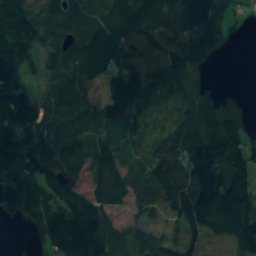
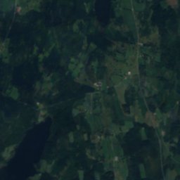
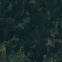
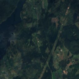
BjurbergssjönLake12 kmSEBjurbergssjön
Satellite: Sentinel-2 cloudless 2016 by EOX IT Services GmbH · CC BY 4.0 · Contains modified Copernicus Sentinel data 2016
NoenLake12 kmNWNoen
Satellite: Sentinel-2 cloudless 2016 by EOX IT Services GmbH · CC BY 4.0 · Contains modified Copernicus Sentinel data 2016
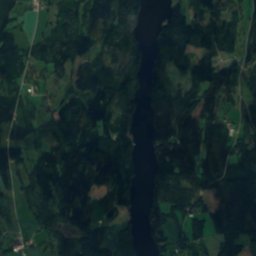
Bona dammLake12 kmSBona damm
Stay nearby

Towns close by

Sundhultsbrunn
Photo: User: Jolleman · CC BY-SA 3.0 · Wikimedia CommonsReport this photo · linked, not stored

Sundhultsbrunn

Jönköping · 1.2 km NE
10°Oct high
14wet days
16score
Sundhultsbrunn
Frinnaryd
Photo: L.G.foto · CC BY-SA 4.0 · Wikimedia CommonsReport this photo · linked, not stored

Frinnaryd

Jönköping · 4.7 km W
10°Oct high
14wet days
18score
Frinnaryd
Aneby
Photo: Jag · CC BY-SA 3.0 · Wikimedia CommonsReport this photo · linked, not stored

Aneby

Jönköping · 11 km SW
10°Oct high
14wet days
17score
Aneby
Hestra
Photo: Jonatan Schenk · CC BY-SA 3.0 · Wikimedia CommonsReport this photo · linked, not stored

Hestra

Östergötland · 11 km E
10°Oct high
15wet days
17score
Hestra
Around here

Sundhultsbrunn and around

Sundhultsbrunn
Photo: User: Jolleman · CC BY-SA 3.0 · Wikimedia CommonsReport this photo · linked, not stored

Sundhultsbrunn

Jönköping · Sweden
Jun–Augbest months
21°July high
257 maltitude
Sundhultsbrunn

Nature

Satellite: Sentinel-2 cloudless 2016 by EOX IT Services GmbH · CC BY 4.0 · Contains modified Copernicus Sentinel data 2016
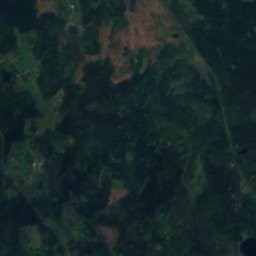
11 km S

Bordsjön

Lake · 251 m
Bordsjön
Satellite: Sentinel-2 cloudless 2016 by EOX IT Services GmbH · CC BY 4.0 · Contains modified Copernicus Sentinel data 2016
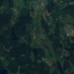
11 km SE

Bjurbergssjön

Lake · 254 m
Bjurbergssjön
Satellite: Sentinel-2 cloudless 2016 by EOX IT Services GmbH · CC BY 4.0 · Contains modified Copernicus Sentinel data 2016
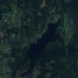
9.5 km SE

Bylingsgölen

Lake
Bylingsgölen

Mountains

Kramboberget
Photo: Lukas Beck · CC BY 4.0 · Wikimedia CommonsReport this photo · linked, not stored
27 km W

Kramboberget

324 m
Kramboberget

Heritage

Linderås Church
Photo: Unknown author · CC BY-SA 3.0 · Wikimedia CommonsReport this photo · linked, not stored
8.3 km NW

Linderås Church

ecclesiastical listed building complex · 1795
Linderås Church
Aneby Church
Photo: Ulkl · Public domain · Wikimedia CommonsReport this photo · linked, not stored
12 km SW

Aneby Church

ecclesiastical listed building complex · 1997
Aneby Church
Tranås town hall
Photo: Unknown author · CC BY-SA 3.0 · Wikimedia CommonsReport this photo · linked, not stored
12 km N

Tranås town hall

individual listed building complex · 1953
Tranås town hall

Museums

Idelunds möbelfabrik
Photo: Bengt Oberger · CC BY-SA 3.0 · Wikimedia CommonsReport this photo · linked, not stored
10 km SW

Idelunds möbelfabrik

Idelunds möbelfabrik
Carriage museum Tranås
Photo: Bengt Oberger · CC BY-SA 3.0 · Wikimedia CommonsReport this photo · linked, not stored
11 km N

Carriage museum Tranås

Carriage museum Tranås
Tranås pälsmuseum
Photo: Bengt Oberger · CC BY-SA 3.0 · Wikimedia CommonsReport this photo · linked, not stored
13 km N

Tranås pälsmuseum

Tranås pälsmuseum