












Skip to content
Destinations
Weather & climate
Nature
Outdoors
Culture
Events
Sky & live
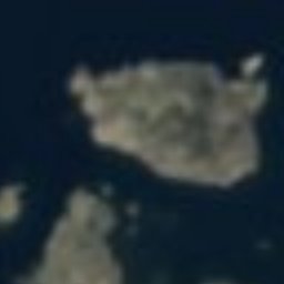
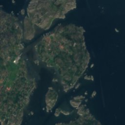
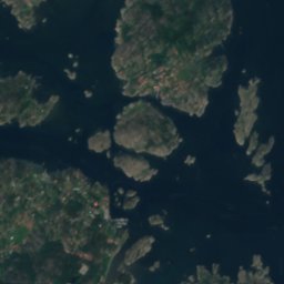
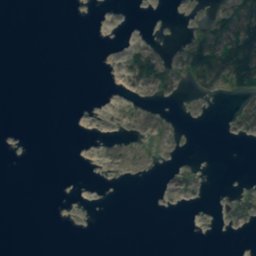
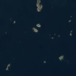
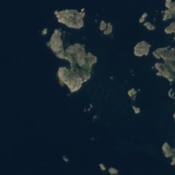
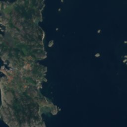
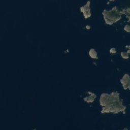
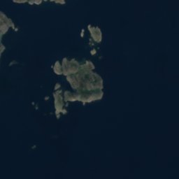
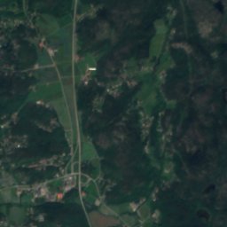
Satellite: Sentinel-2 cloudless 2016 by EOX IT Services GmbH · CC BY 4.0 · Contains modified Copernicus Sentinel data 2016
Valö, Vrångö
Photo: Yvalima · CC BY-SA 4.0 · Wikimedia Commons
Valö, VrångöReport this photo · linked, not stored
Valö, Vrångö
IslandVrångö, Västra Götaland

Sölebådarna

IslandBest Jun–Aug
Elevation–above sea level
Area–surface
Nearest townVrångö2.1 km
57.57° N, 11.82° EUTC+1 · Central European Standard Time
When to goVrångö · weather score
JanFebMarAprMayJunJulAugSepOctNovDec28October
Best timeJun–Aug
October: high / low12° / 7°
Island

Sölebådarna in brief

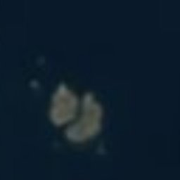
Sölebådarna is an island in Vrångö, Västra Götaland, Sweden.

The nearest town is Vrångö, 2.1 km to the W, where the weather is best in June, July and August.

Vrångö: weather and travel guide

Weather nearby now

Forecast for Vrångö
12°
Rain now
Wind53 km/h
Humidity84%
Cloud cover83%
Today
25 Oct
13°
10°
25 mm
Mon
26 Oct
13°
10°
5 mm
Tue
27 Oct
14°
11°
7 mm
Wed
28 Oct
14°
11°
1 mm
Thu
29 Oct
12°
9°

Model run 00:00 UTCRefreshed several times a day

When to go

The best months around Sölebådarna

Climate of Vrångö

Month score in Vrångö

Comfort, dry days and sunshine · out of 100
15
Jan
17
Feb
25
Mar
37
Apr
56
May
74
Jun
66
Jul
68
Aug
61
Sep
28
Oct
17
Nov
15
Dec
Map

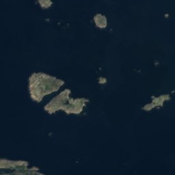
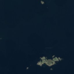
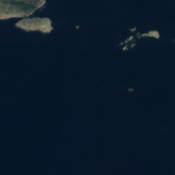
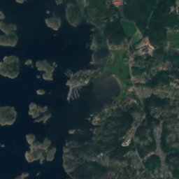
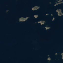
Sölebådarna from above

Nature nearbyAll of Sweden
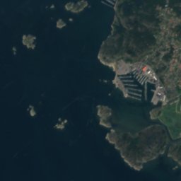
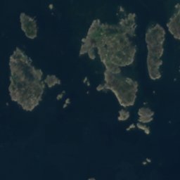
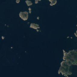
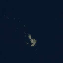
Satellite: Sentinel-2 cloudless 2016 by EOX IT Services GmbH · CC BY 4.0 · Contains modified Copernicus Sentinel data 2016
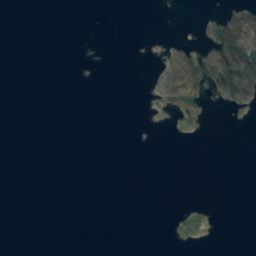
VallholmsbådenIslandunder 100 mNVallholmsbåden
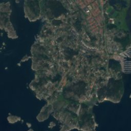
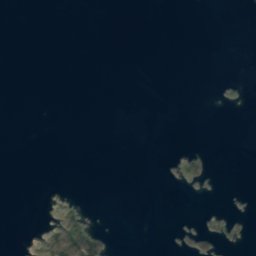
Satellite: Sentinel-2 cloudless 2016 by EOX IT Services GmbH · CC BY 4.0 · Contains modified Copernicus Sentinel data 2016
FjordholmenIsland1.1 kmEFjordholmen
Photo: Yvalima · CC BY-SA 4.0 · Wikimedia CommonsReport this photo · linked, not stored
Valö, VrångöIsland2.0 kmSWValö, Vrångö
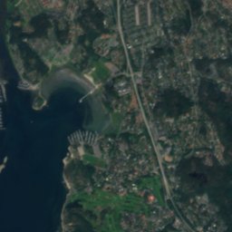
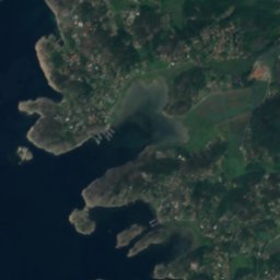
Satellite: Sentinel-2 cloudless 2016 by EOX IT Services GmbH · CC BY 4.0 · Contains modified Copernicus Sentinel data 2016
LågbådenIsland2.3 kmNELågbåden
Satellite: Sentinel-2 cloudless 2016 by EOX IT Services GmbH · CC BY 4.0 · Contains modified Copernicus Sentinel data 2016
KungsöIsland2.7 kmSWKungsö
Satellite: Sentinel-2 cloudless 2016 by EOX IT Services GmbH · CC BY 4.0 · Contains modified Copernicus Sentinel data 2016
Norra VarskärIsland3.0 kmWNorra Varskär
Stay nearby

Towns close by

Vrångö
Photo: Arild Vågen · CC BY-SA 3.0 · Wikimedia CommonsReport this photo · linked, not stored

Vrångö

Västra Götaland · 2.1 km W
12°Oct high
17wet days
28score
Vrångö
Donsö
Photo: ArildV · CC BY-SA 4.0 · Wikimedia CommonsReport this photo · linked, not stored

Donsö

Västra Götaland · 3.9 km N
12°Oct high
17wet days
28score
Donsö
Styrsö
Photo: Nathan Meijer · CC BY 2.0 · Wikimedia CommonsReport this photo · linked, not stored

Styrsö

Västra Götaland · 5.8 km N
12°Oct high
17wet days
27score
Styrsö
Billdal
Photo: Andrzej Otrębski · CC BY-SA 3.0 · Wikimedia CommonsReport this photo · linked, not stored

Billdal

Västra Götaland · 7.0 km E
12°Oct high
15wet days
27score
Billdal
Around here

Vrångö and around

Vrångö
Photo: Arild Vågen · CC BY-SA 3.0 · Wikimedia CommonsReport this photo · linked, not stored

Vrångö

Västra Götaland · Sweden
Jun–Augbest months
21°July high
5 maltitude
Vrångö

Nature

Oxsjön, Göteborg Municipality
Photo: R. Henrik Nilsson · CC BY-SA 4.0 · Wikimedia CommonsReport this photo · linked, not stored
12 km E

Oxsjön, Göteborg Municipality

Lake · 65 m
Oxsjön, Göteborg Municipality
Kungsbackaån
Photo: Harri Blomberg · CC BY-SA 3.0 · Wikimedia CommonsReport this photo · linked, not stored
21 km SE

Kungsbackaån

River
Kungsbackaån
Delsjön
Photo: Stuart Chalmers from Paisley, Scotland · CC BY 2.0 · Wikimedia CommonsReport this photo · linked, not stored
20 km NE

Delsjön

Lake
Delsjön

Heritage

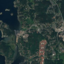
Satellite: Sentinel-2 cloudless 2016 by EOX IT Services GmbH · CC BY 4.0 · Contains modified Copernicus Sentinel data 2016
under 100 m W

Vrångö Church

ecclesiastical listed building complex
Vrångö Church
Askims kyrka
Photo: User Tor Svensson · CC BY-SA 3.0 · Wikimedia CommonsReport this photo · linked, not stored
11 km NE

Askims kyrka

ecclesiastical listed building complex · 1878
Askims kyrka
Älvsborg Fortress
Photo: Unknown author · Public domain · Wikimedia CommonsReport this photo · linked, not stored
15 km NE

Älvsborg Fortress

monument in Fornminnesregistret · 1360
Älvsborg Fortress

Museums

Röda Sten konsthall
Photo: Arild Vågen · CC BY-SA 4.0 · Wikimedia CommonsReport this photo · linked, not stored
15 km NE

Röda Sten konsthall

Kunsthalle · 1994
Röda Sten konsthall
Brännö museum
Photo: Mattias Blomgren · CC BY-SA 4.0 · Wikimedia CommonsReport this photo · linked, not stored
8.1 km N

Brännö museum

Brännö museum
Satellite: Sentinel-2 cloudless 2016 by EOX IT Services GmbH · CC BY 4.0 · Contains modified Copernicus Sentinel data 2016
9.3 km NE

Fiskebäcks museum

1999
Fiskebäcks museum