Skip to content
Destinations
Weather & climate
Nature
Outdoors
Culture
Events
Sky & live
Säbysjön
Photo: Udo Schröter · CC BY-SA 3.0 · Wikimedia Commons
SäbysjönReport this photo · linked, not stored
Översjön, Uppland
Photo: Holger.Ellgaard · CC BY-SA 4.0 · Wikimedia Commons
Översjön, UpplandReport this photo · linked, not stored
Översjön, Uppland
Ravalen
Photo: Udo Schröter · CC BY-SA 3.0 · Wikimedia Commons
RavalenReport this photo · linked, not stored
Ravalen
Kallhällsbadet
Photo: Holger.Ellgaard · CC BY-SA 4.0 · Wikimedia Commons
KallhällsbadetReport this photo · linked, not stored
Kallhällsbadet
Norrviken, Rotebro
Photo: Johannes Scherman · CC BY 2.5 · Wikimedia Commons
Norrviken, RotebroReport this photo · linked, not stored
Norrviken, Rotebro
LakeJakobsberg, Stockholm

Säbysjön

Lake17 m elevationBest May–Jul
Elevation17 mabove sea level
Area0.7 km²surface
Nearest townJakobsberg2.4 km
59.44° N, 17.87° EElevation 17 mUTC+2 · Central European Summer Time
When to goJakobsberg · weather score
JanFebMarAprMayJunJulAugSepOctNovDec25October
Best timeMay–Jul
October: high / low10° / 4°
Lake

Säbysjön in brief

Säbysjön is a lake in Jakobsberg, Stockholm, Sweden.

It lies at 17 m above sea level and covers about 0.7 km².

The nearest town in the atlas is Jakobsberg, 2.4 km to the SW, where the weather is best in May, June and July.

Jakobsberg: weather and travel guide

Weather nearby now

Forecast for Jakobsberg
12°
Cloudy now
Wind20 km/h
Humidity88%
Cloud cover100%
Today
22 Oct
13°
10°
Fri
23 Oct
12°
5°
9 mm
Sat
24 Oct
11°
5°
1 mm
Sun
25 Oct
11°
8°
14 mm
Mon
26 Oct
11°
8°
1 mm

Model run 00:00 UTCRefreshed several times a day

The lake's water

Surface, average depth and volume of the lake, and the length of its shore.
Surface0.7 km²
Average depth5 m
Volume3 million m³
Shoreline5.1 km
average depth 5 msurface at 17 m
When to go

The best months around Säbysjön

Climate of Jakobsberg

Month score in Jakobsberg

Comfort, dry days and sunshine · out of 100
Map

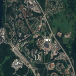
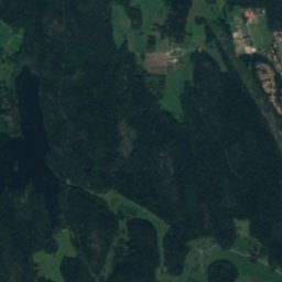
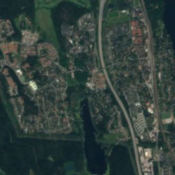
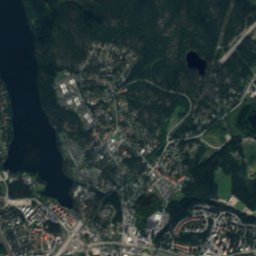
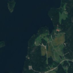
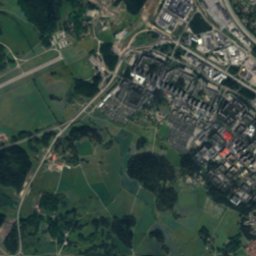
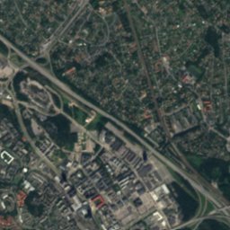
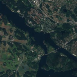
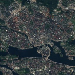
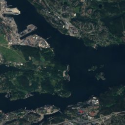
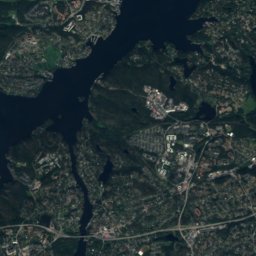
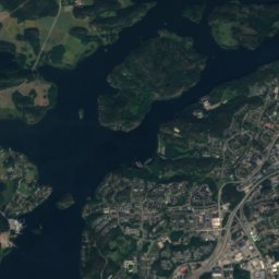
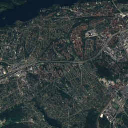
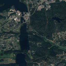
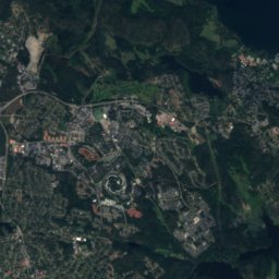
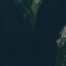
Säbysjön from above

Nature nearbyAll of Sweden
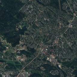
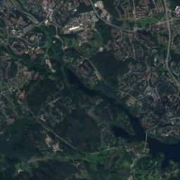
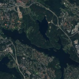
Satellite: Sentinel-2 cloudless 2016 by EOX IT Services GmbH · CC BY 4.0 · Contains modified Copernicus Sentinel data 2016
DjupanLake1.4 kmSEDjupan
Photo: Holger.Ellgaard · CC BY-SA 4.0 · Wikimedia CommonsReport this photo · linked, not stored
Översjön, UpplandLake2.6 kmNWÖversjön, Uppland
Photo: Udo Schröter · CC BY-SA 3.0 · Wikimedia CommonsReport this photo · linked, not stored
RavalenLake2.7 kmNERavalen
Photo: Holger.Ellgaard · CC BY-SA 4.0 · Wikimedia CommonsReport this photo · linked, not stored
KallhällsbadetBeach4.7 kmNWKallhällsbadet
Photo: Johannes Scherman · CC BY 2.5 · Wikimedia CommonsReport this photo · linked, not stored
Norrviken, RotebroLake5.1 kmNENorrviken, Rotebro
Photo: Bysmon · CC BY-SA 4.0 · Wikimedia CommonsReport this photo · linked, not stored
GörvälnsbadetBeach5.7 kmWGörvälnsbadet
Summits nearbyMountains of Sweden
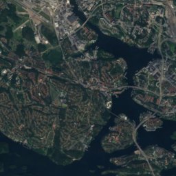
Satellite: Sentinel-2 cloudless 2016 by EOX IT Services GmbH · CC BY 4.0 · Contains modified Copernicus Sentinel data 2016
Hökarängstoppen23 km SE102 mJuly 23°Hökarängstoppen
Stay nearby

Towns close by

Jakobsberg
Photo: Grufman · CC BY 4.0 · Wikimedia CommonsReport this photo · linked, not stored

Jakobsberg

Stockholm · 2.4 km SW
10°Oct high
12wet days
25score
Jakobsberg
Kallhäll
Photo: Holger.Ellgaard · CC BY-SA 3.0 · Wikimedia CommonsReport this photo · linked, not stored

Kallhäll

Stockholm · 4.1 km NW
10°Oct high
12wet days
25score
Kallhäll
Tureberg
Photo: Frankie Fouganthin · CC BY-SA 3.0 · Wikimedia CommonsReport this photo · linked, not stored

Tureberg

Stockholm · 4.6 km E
10°Oct high
12wet days
25score
Tureberg
Sollentuna
Photo: Ulkl · CC BY 3.0 · Wikimedia CommonsReport this photo · linked, not stored

Sollentuna

Stockholm · 4.7 km E
10°Oct high
12wet days
25score
Sollentuna
Around here

Jakobsberg and around

Jakobsberg
Photo: Grufman · CC BY 4.0 · Wikimedia CommonsReport this photo · linked, not stored

Jakobsberg

Stockholm · Sweden
May–Julbest months
24°July high
25 maltitude
Jakobsberg

Nature

Kyrksjön, Drottningholm
Photo: Holger.Ellgaard · CC BY-SA 3.0 · Wikimedia CommonsReport this photo · linked, not stored
9.3 km SE

Kyrksjön, Drottningholm

Lake · 11 m
Kyrksjön, Drottningholm
Råstasjön
Photo: Jan Ainali · CC BY-SA 3.0 · Wikimedia CommonsReport this photo · linked, not stored
10 km SE

Råstasjön

Lake · 2 m
Råstasjön
Lillsjön (Ulvsunda)
Photo: Sabelöga · CC0 · Wikimedia CommonsReport this photo · linked, not stored
11 km SE

Lillsjön (Ulvsunda)

Lake
Lillsjön (Ulvsunda)

Mountains

Satellite: Sentinel-2 cloudless 2016 by EOX IT Services GmbH · CC BY 4.0 · Contains modified Copernicus Sentinel data 2016
23 km SE

Hökarängstoppen

102 m
Hökarängstoppen

Heritage

Mary's Church, Jakobsberg
Photo: Larske · CC BY-SA 3.0 · Wikimedia CommonsReport this photo · linked, not stored
0.2 km S

Mary's Church, Jakobsberg

ecclesiastical listed building complex · 1981
Mary's Church, Jakobsberg
Viksjö Church, Jakobsberg
Photo: Bysmon · CC BY-SA 4.0 · Wikimedia CommonsReport this photo · linked, not stored
2.2 km SW

Viksjö Church, Jakobsberg

ecclesiastical listed building complex · 2005
Viksjö Church, Jakobsberg
Görvälns griftegård
Photo: Tommy Walfridson · CC BY-SA 3.0 · Wikimedia CommonsReport this photo · linked, not stored
2.5 km W

Görvälns griftegård

ecclesiastical listed building complex · 1977
Görvälns griftegård

Museums

The Bolindermuseum
Photo: Bysmon · CC BY-SA 4.0 · Wikimedia CommonsReport this photo · linked, not stored
3.8 km NW

The Bolindermuseum

2016
The Bolindermuseum
Edsvik Konsthall
Photo: Holger.Ellgaard · CC BY-SA 3.0 · Wikimedia CommonsReport this photo · linked, not stored
7.3 km E

Edsvik Konsthall

Art museum · 1996
Edsvik Konsthall
Tensta Konsthall
Photo: Mimmicarolina · CC BY-SA 4.0 · Wikimedia CommonsReport this photo · linked, not stored
5.0 km SE

Tensta Konsthall

1998
Tensta Konsthall