Skip to content
Destinations
Weather & climate
Nature
Outdoors
Culture
Events
Sky & live
Ringsö
Photo: Salgo60 · CC BY-SA 3.0 · Wikimedia Commons
RingsöReport this photo · linked, not stored
IslandStallarholmen, Södermanland

Ringsö

Island17 m elevationBest Jun–Aug
Elevation17 mabove sea level
Area–surface
Nearest townStallarholmen9.4 km
59.42° N, 17.33° EElevation 17 mUTC+2 · Central European Summer Time
When to goStallarholmen · weather score
JanFebMarAprMayJunJulAugSepOctNovDec23October
Best timeJun–Aug
October: high / low10° / 4°
Island

Ringsö in brief

Ringsö is an island in Stallarholmen, Södermanland, Sweden.

It lies at 17 m above sea level.

The nearest town in the atlas is Stallarholmen, 9.4 km to the SW, where the weather is best in June, July and August.

Stallarholmen: weather and travel guide

Weather nearby now

Forecast for Stallarholmen
12°
Cloudy now
Wind21 km/h
Humidity88%
Cloud cover100%
Today
22 Oct
13°
10°
1 mm
Fri
23 Oct
12°
5°
7 mm
Sat
24 Oct
12°
4°
1 mm
Sun
25 Oct
11°
7°
15 mm
Mon
26 Oct
12°
7°
1 mm

Model run 00:00 UTCRefreshed several times a day

When to go

The best months around Ringsö

Climate of Stallarholmen

Month score in Stallarholmen

Comfort, dry days and sunshine · out of 100
23
Jan
24
Feb
27
Mar
38
Apr
64
May
65
Jun
65
Jul
65
Aug
65
Sep
23
Oct
16
Nov
18
Dec
Map

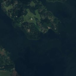
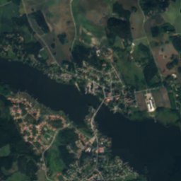
Ringsö from above

Nature nearbyAll of Sweden
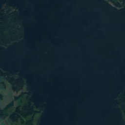
Satellite: Sentinel-2 cloudless 2016 by EOX IT Services GmbH · CC BY 4.0 · Contains modified Copernicus Sentinel data 2016
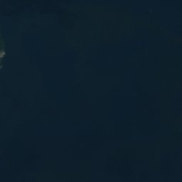
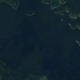
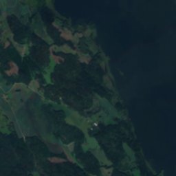
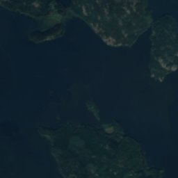
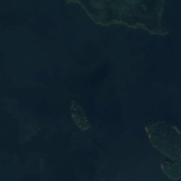
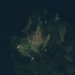
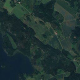
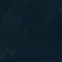
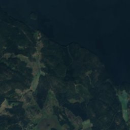
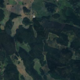
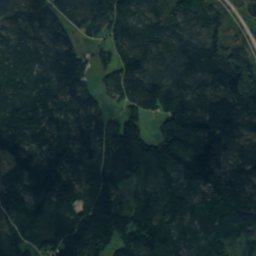
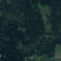
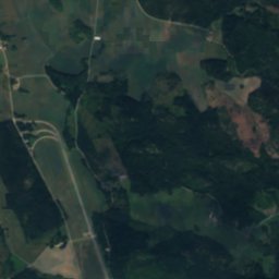
RingsökalvenIsland1.9 kmNRingsökalven
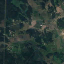
Satellite: Sentinel-2 cloudless 2016 by EOX IT Services GmbH · CC BY 4.0 · Contains modified Copernicus Sentinel data 2016

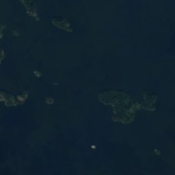
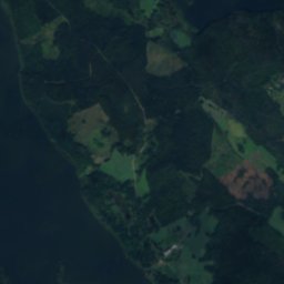
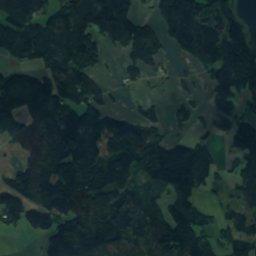
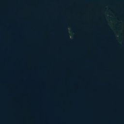
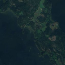
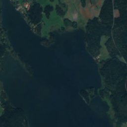
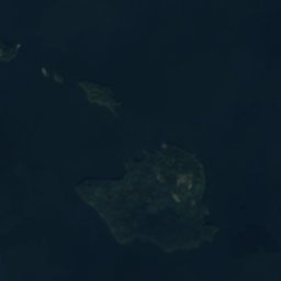
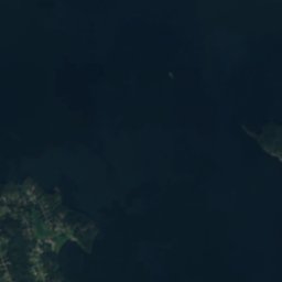
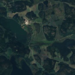
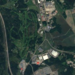
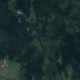
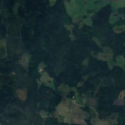
Östra DövskärIsland1.9 kmNÖstra Dövskär
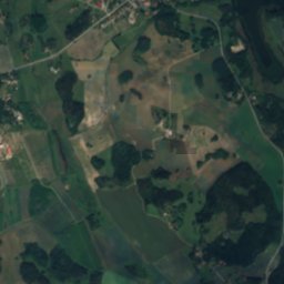
Satellite: Sentinel-2 cloudless 2016 by EOX IT Services GmbH · CC BY 4.0 · Contains modified Copernicus Sentinel data 2016
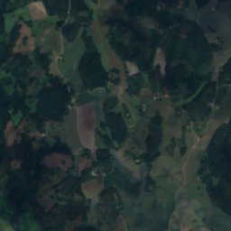
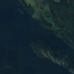
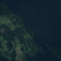
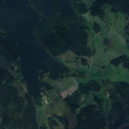
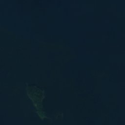
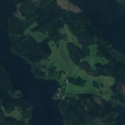
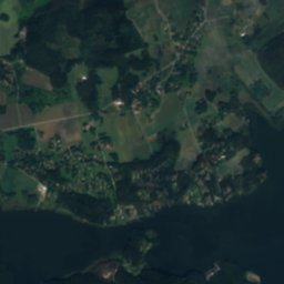
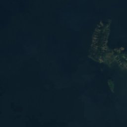
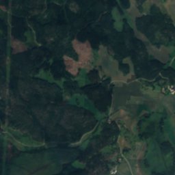
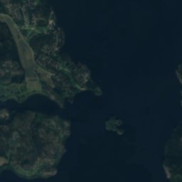
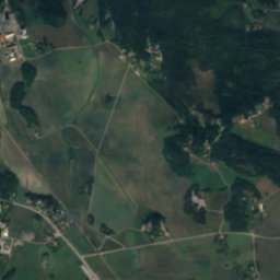
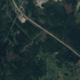
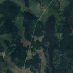
Furuholmen, SödermanlandIsland2.7 kmSEFuruholmen, Södermanland
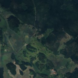
Satellite: Sentinel-2 cloudless 2016 by EOX IT Services GmbH · CC BY 4.0 · Contains modified Copernicus Sentinel data 2016
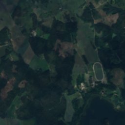
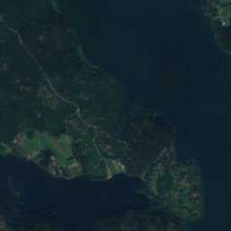
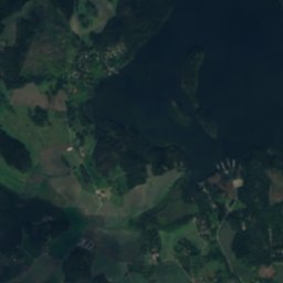
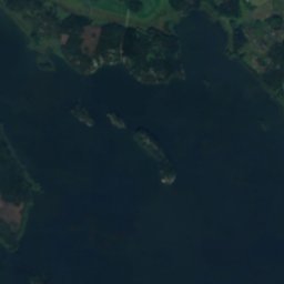
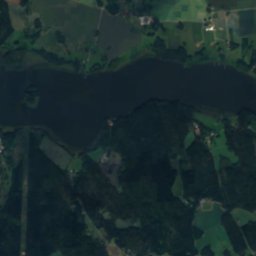
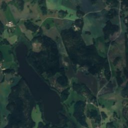
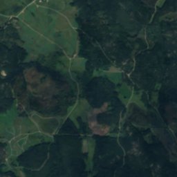
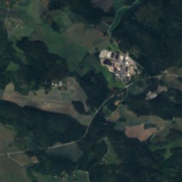
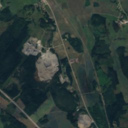
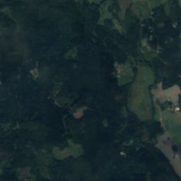
BastlagnöIsland2.8 kmEBastlagnö
Satellite: Sentinel-2 cloudless 2016 by EOX IT Services GmbH · CC BY 4.0 · Contains modified Copernicus Sentinel data 2016
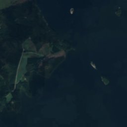
Lilla LexingenIsland4.2 kmNWLilla Lexingen
Satellite: Sentinel-2 cloudless 2016 by EOX IT Services GmbH · CC BY 4.0 · Contains modified Copernicus Sentinel data 2016
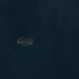
Kråkholmen, SödermanlandIsland4.2 kmSEKråkholmen, Södermanland
Stay nearby

Towns close by

Stallarholmen
Photo: Houstička · CC BY-SA 4.0 · Wikimedia CommonsReport this photo · linked, not stored

Stallarholmen

Södermanland · 9.4 km SW
10°Oct high
12wet days
23score
Stallarholmen
Råby
Photo: Ulkl · Public domain · Wikimedia CommonsReport this photo · linked, not stored

Råby

Uppsala · 16 km NE
10°Oct high
12wet days
23score
Råby
Lillkyrka
Photo: Jssfrk · Public domain · Wikimedia CommonsReport this photo · linked, not stored

Lillkyrka

Uppsala · 17 km N
10°Oct high
12wet days
23score
Lillkyrka
Kungsberga
Photo: Fotevikens Museum/Sven Rosborn · CC BY-SA 4.0 · Wikimedia CommonsReport this photo · linked, not stored

Kungsberga

Stockholm · 17 km E
10°Oct high
12wet days
25score
Kungsberga
Around here

Stallarholmen and around

Stallarholmen
Photo: Houstička · CC BY-SA 4.0 · Wikimedia CommonsReport this photo · linked, not stored

Stallarholmen

Södermanland · Sweden
Jun–Augbest months
23°July high
3 maltitude
Stallarholmen

Nature

Satellite: Sentinel-2 cloudless 2016 by EOX IT Services GmbH · CC BY 4.0 · Contains modified Copernicus Sentinel data 2016

6.3 km SE

Herrestaviken

Lake
Herrestaviken
Satellite: Sentinel-2 cloudless 2016 by EOX IT Services GmbH · CC BY 4.0 · Contains modified Copernicus Sentinel data 2016
11 km SW

Bråtorpsjön

Lake · 22 m
Bråtorpsjön
Mälaren
Photo: Holger.Ellgaard · CC BY-SA 3.0 · Wikimedia CommonsReport this photo · linked, not stored
15 km N

Mälaren

Lake · 1 m
Mälaren

Heritage

Mervalla stone
Photo: Berig · CC BY-SA 3.0 · Wikimedia CommonsReport this photo · linked, not stored
1.8 km N

Mervalla stone

monument in Fornminnesregistret · 1100
Mervalla stone
Södermanlands runinskrifter 203
Photo: Catasa · CC BY-SA 3.0 · Wikimedia CommonsReport this photo · linked, not stored
0.4 km NW

Södermanlands runinskrifter 203

monument in Fornminnesregistret
Södermanlands runinskrifter 203
Södermanlands runinskrifter 202
Photo: Catasa · CC BY-SA 3.0 · Wikimedia CommonsReport this photo · linked, not stored
0.4 km NW

Södermanlands runinskrifter 202

monument in Fornminnesregistret
Södermanlands runinskrifter 202

Museums

National Portrait Gallery of Sweden
Photo: Fredrik Alpstedt · CC BY-SA 2.0 · Wikimedia CommonsReport this photo · linked, not stored
12 km S

National Portrait Gallery of Sweden

Art museum · 1822
National Portrait Gallery of Sweden
Östra Södermanlands Järnväg
Photo: Holger.Ellgaard · CC BY-SA 4.0 · Wikimedia CommonsReport this photo · linked, not stored
12 km S

Östra Södermanlands Järnväg

Heritage railway
Östra Södermanlands Järnväg
Callanderska gården
Photo: Raphael Saulus · Public domain · Wikimedia CommonsReport this photo · linked, not stored
12 km S

Callanderska gården

Callanderska gården