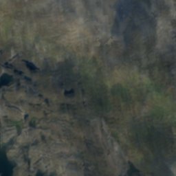
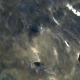
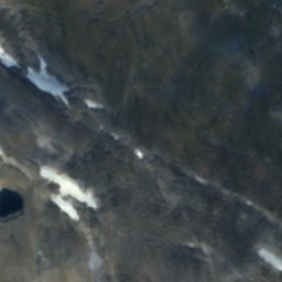
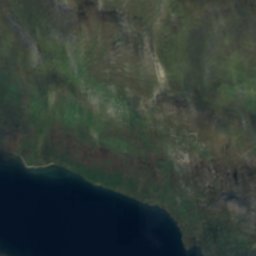
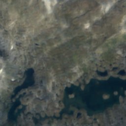
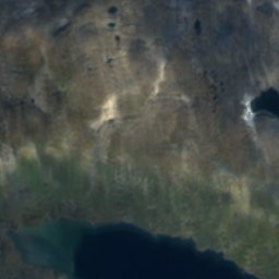
Satellite: Sentinel-2 cloudless 2016 by EOX IT Services GmbH · CC BY 4.0 · Contains modified Copernicus Sentinel data 2016
 Sipmektinden
LakeStekenjokk, Västerbotten
Ranseren
Lake811 m elevationBest Jun–Aug
Elevation811 mabove sea level
Area2.7 km²surface
Nearest townStekenjokk11 km
65.18° N, 14.34° EElevation 811 mUTC+2 · Central European Summer Time
When to goStekenjokk · weather score
Best timeJun–Aug
October: high / low1° / -3°
Lake
Ranseren in brief
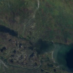
Ranseren is a lake in Stekenjokk, Västerbotten, Sweden.
It lies at 811 m above sea level and covers about 2.7 km².
The nearest town in the atlas is Stekenjokk, 11 km to the SE, where the weather is best in June, July and August.
Weather nearby now
Forecast for Stekenjokk5°
Rain now
Today
22 Oct
6°
4°
4 mm
Fri
23 Oct
5°
4°
7 mm
Sat
24 Oct
3°
1°
5 mm
Sun
25 Oct
4°
1°
17 mm
Mon
26 Oct
3°
2°
8 mm
Model run 00:00 UTCRefreshed several times a day
The lake's water
Surface, average depth and volume of the lake, and the length of its shore.Surface2.7 km²
Average depth9 m
Volume24 million m³
Shoreline17 km
When to go
Climate of StekenjokkThe best months around Ranseren
Month score in Stekenjokk
Comfort, dry days and sunshine · out of 10010
Jan
11
Feb
13
Mar
17
Apr
18
May
23
Jun
42
Jul
32
Aug
14
Sep
10
Oct
9
Nov
9
Dec
Map
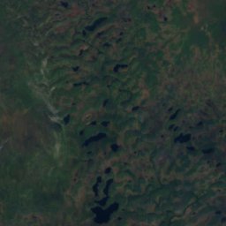
Ranseren from above
Nature nearbyAll of Sweden
Satellite: Sentinel-2 cloudless 2016 by EOX IT Services GmbH · CC BY 4.0 · Contains modified Copernicus Sentinel data 2016
Satellite: Sentinel-2 cloudless 2016 by EOX IT Services GmbH · CC BY 4.0 · Contains modified Copernicus Sentinel data 2016
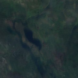
Satellite: Sentinel-2 cloudless 2016 by EOX IT Services GmbH · CC BY 4.0 · Contains modified Copernicus Sentinel data 2016
Satellite: Sentinel-2 cloudless 2016 by EOX IT Services GmbH · CC BY 4.0 · Contains modified Copernicus Sentinel data 2016
Satellite: Sentinel-2 cloudless 2016 by EOX IT Services GmbH · CC BY 4.0 · Contains modified Copernicus Sentinel data 2016
Satellite: Sentinel-2 cloudless 2016 by EOX IT Services GmbH · CC BY 4.0 · Contains modified Copernicus Sentinel data 2016
Summits nearbyMountains of Sweden
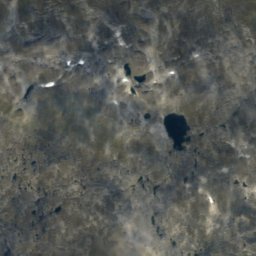
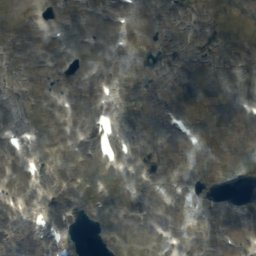
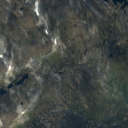
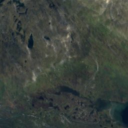
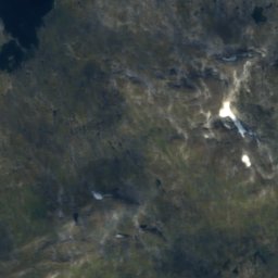
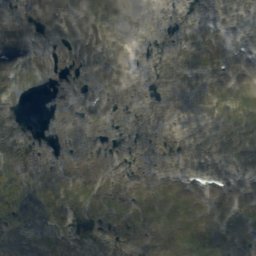
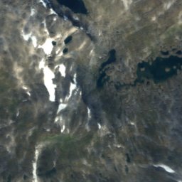
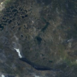
Satellite: Sentinel-2 cloudless 2016 by EOX IT Services GmbH · CC BY 4.0 · Contains modified Copernicus Sentinel data 2016

Satellite: Sentinel-2 cloudless 2016 by EOX IT Services GmbH · CC BY 4.0 · Contains modified Copernicus Sentinel data 2016
Satellite: Sentinel-2 cloudless 2016 by EOX IT Services GmbH · CC BY 4.0 · Contains modified Copernicus Sentinel data 2016
Satellite: Sentinel-2 cloudless 2016 by EOX IT Services GmbH · CC BY 4.0 · Contains modified Copernicus Sentinel data 2016
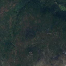
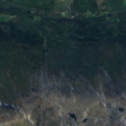
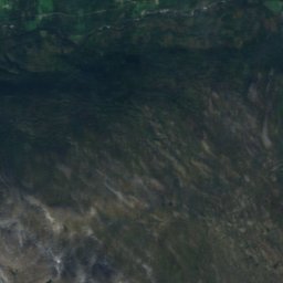
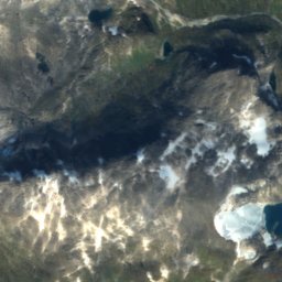
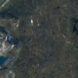
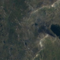
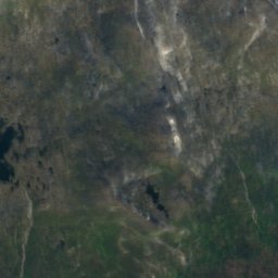
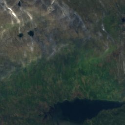
Satellite: Sentinel-2 cloudless 2016 by EOX IT Services GmbH · CC BY 4.0 · Contains modified Copernicus Sentinel data 2016
Stay nearby
Towns close by


Around here
Stekenjokk and around
Nature
Satellite: Sentinel-2 cloudless 2016 by EOX IT Services GmbH · CC BY 4.0 · Contains modified Copernicus Sentinel data 2016
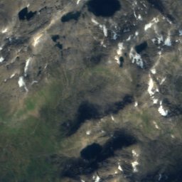
Njereujaure
Lake · 860 m
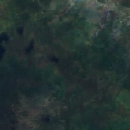
Satellite: Sentinel-2 cloudless 2016 by EOX IT Services GmbH · CC BY 4.0 · Contains modified Copernicus Sentinel data 2016
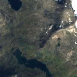
Rapstenjaureh
Lake · 840 m
Satellite: Sentinel-2 cloudless 2016 by EOX IT Services GmbH · CC BY 4.0 · Contains modified Copernicus Sentinel data 2016
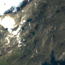
Siljengojaureh
Lake · 923 m
Mountains
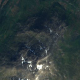
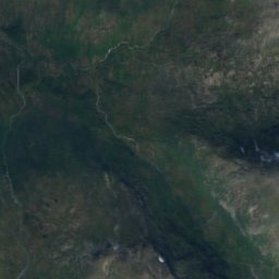
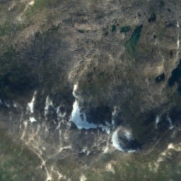
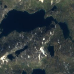
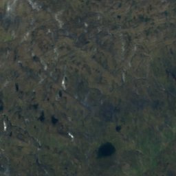
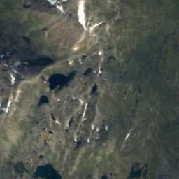
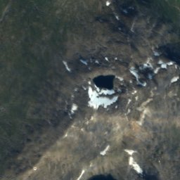
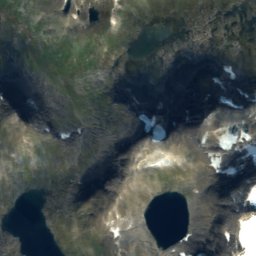
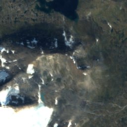
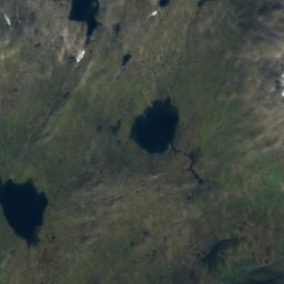
Satellite: Sentinel-2 cloudless 2016 by EOX IT Services GmbH · CC BY 4.0 · Contains modified Copernicus Sentinel data 2016
Kvigtinden
1,700 m
Satellite: Sentinel-2 cloudless 2016 by EOX IT Services GmbH · CC BY 4.0 · Contains modified Copernicus Sentinel data 2016
Jetnamsklumpen
1,514 m
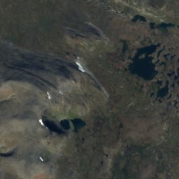
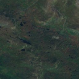
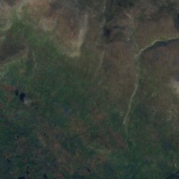
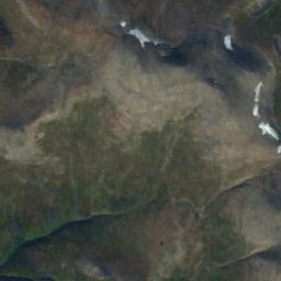
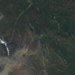


Satellite: Sentinel-2 cloudless 2016 by EOX IT Services GmbH · CC BY 4.0 · Contains modified Copernicus Sentinel data 2016
Jenjenjetjem
1,451 m