Skip to content
Destinations
Weather & climate
Nature
Outdoors
Culture
Events
Sky & live
Ören, Jönköping
Photo: Moralist · CC BY-SA 4.0 · Wikimedia Commons
Ören, JönköpingReport this photo · linked, not stored
Bunn
Photo: Lukas Beck · CC BY 4.0 · Wikimedia Commons
BunnReport this photo · linked, not stored
Bunn
Röttle River
Photo: Unknown author · CC BY-SA 3.0 · Wikimedia Commons
Röttle RiverReport this photo · linked, not stored
Röttle River
Kramboberget
Photo: Lukas Beck · CC BY 4.0 · Wikimedia Commons
KrambobergetReport this photo · linked, not stored
Kramboberget
LakeÖrserum, Jönköping

Ören, Jönköping

Lake196 m elevationBest Jun–Aug
Elevation196 mabove sea level
Area9.0 km²surface
Nearest townÖrserum3.1 km
57.98° N, 14.58° EElevation 196 mUTC+2 · Central European Summer Time
When to goÖrserum · weather score
JanFebMarAprMayJunJulAugSepOctNovDec17October
Best timeJun–Aug
October: high / low10° / 5°
Lake

Ören, Jönköping in brief

Ören, Jönköping is a lake in Örserum, Jönköping, Sweden.

It lies at 196 m above sea level and covers about 9.0 km².

The nearest town in the atlas is Örserum, 3.1 km to the N, where the weather is best in June, July and August.

Örserum: weather and travel guide

Weather nearby now

Forecast for Örserum
10°
Rain now
Wind10 km/h
Humidity99%
Cloud cover100%
Today
22 Oct
12°
8°
8 mm
Fri
23 Oct
11°
6°
Sat
24 Oct
12°
7°
3 mm
Sun
25 Oct
10°
6°
11 mm
Mon
26 Oct
11°
6°
4 mm

Model run 00:00 UTCRefreshed several times a day

The lake's water

Surface, average depth and volume of the lake, and the length of its shore.
Surface9.0 km²
Average depth11 m
Volume94 million m³
Shoreline25 km
average depth 11 msurface at 196 m
When to go

The best months around Ören, Jönköping

Climate of Örserum

Month score in Örserum

Comfort, dry days and sunshine · out of 100
17
Jan
23
Feb
28
Mar
30
Apr
44
May
64
Jun
65
Jul
64
Aug
53
Sep
17
Oct
13
Nov
13
Dec
Map

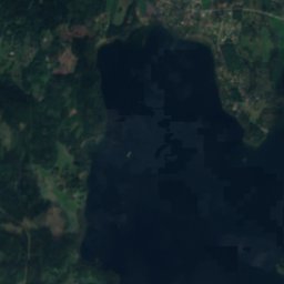
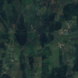
Ören, Jönköping from above

Nature nearbyAll of Sweden
Photo: Lukas Beck · CC BY 4.0 · Wikimedia CommonsReport this photo · linked, not stored
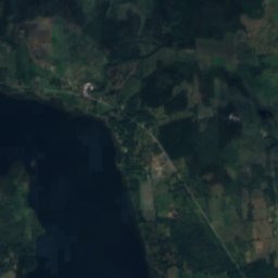
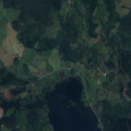
BunnLake4.1 kmWBunn
Satellite: Sentinel-2 cloudless 2016 by EOX IT Services GmbH · CC BY 4.0 · Contains modified Copernicus Sentinel data 2016
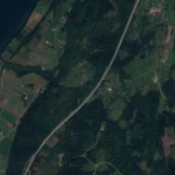
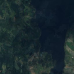
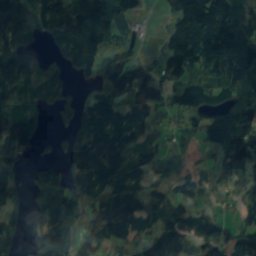
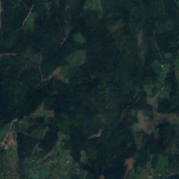
BlomstrandsgölenLake5.8 kmEBlomstrandsgölen
Satellite: Sentinel-2 cloudless 2016 by EOX IT Services GmbH · CC BY 4.0 · Contains modified Copernicus Sentinel data 2016
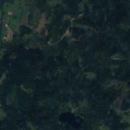
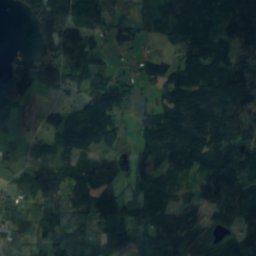
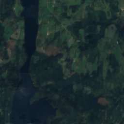
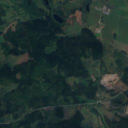
BotilstorpsgölenLake7.2 kmNEBotilstorpsgölen
Satellite: Sentinel-2 cloudless 2016 by EOX IT Services GmbH · CC BY 4.0 · Contains modified Copernicus Sentinel data 2016
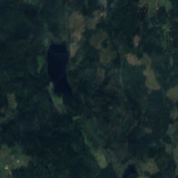
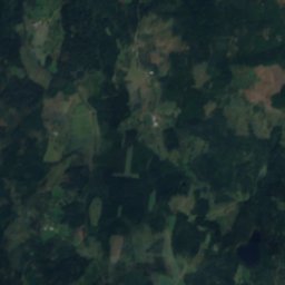
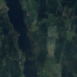
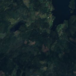
AdelövsjönLake7.7 kmNEAdelövsjön
Satellite: Sentinel-2 cloudless 2016 by EOX IT Services GmbH · CC BY 4.0 · Contains modified Copernicus Sentinel data 2016
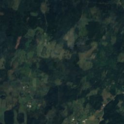
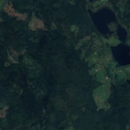
NoenLake8.8 kmENoen
Photo: Unknown author · CC BY-SA 3.0 · Wikimedia CommonsReport this photo · linked, not stored
Röttle RiverRiver8.9 kmWRöttle River
Summits nearbyMountains of Sweden
Photo: Lukas Beck · CC BY 4.0 · Wikimedia CommonsReport this photo · linked, not stored
Kramboberget6.3 km NW324 mJuly 20°Kramboberget
Stay nearby

Towns close by

Örserum
Photo: L.G.foto · CC BY-SA 4.0 · Wikimedia CommonsReport this photo · linked, not stored

Örserum

Jönköping · 3.1 km N
10°Oct high
13wet days
17score
Örserum
Hestra
Photo: Kemitsv · CC BY-SA 3.0 · Wikimedia CommonsReport this photo · linked, not stored

Hestra

Jönköping · 6.9 km S
9°Oct high
14wet days
16score
Hestra
Gränna
Photo: Unknown author · Public domain · Wikimedia CommonsReport this photo · linked, not stored

Gränna

Jönköping · 7.8 km NW
10°Oct high
13wet days
19score
Gränna
Ölmstad
Photo: Bengt Oberger · CC BY-SA 3.0 · Wikimedia CommonsReport this photo · linked, not stored

Ölmstad

Jönköping · 12 km SW
10°Oct high
14wet days
16score
Ölmstad
Around here

Örserum and around

Örserum
Photo: L.G.foto · CC BY-SA 4.0 · Wikimedia CommonsReport this photo · linked, not stored

Örserum

Jönköping · Sweden
Jun–Augbest months
21°July high
208 maltitude
Örserum

Nature

Bunn
Photo: Lukas Beck · CC BY 4.0 · Wikimedia CommonsReport this photo · linked, not stored
5.4 km SW

Bunn

Lake · 196 m
Bunn
Röttle River
Photo: Unknown author · CC BY-SA 3.0 · Wikimedia CommonsReport this photo · linked, not stored
8.7 km W

Röttle River

River
Röttle River
Satellite: Sentinel-2 cloudless 2016 by EOX IT Services GmbH · CC BY 4.0 · Contains modified Copernicus Sentinel data 2016
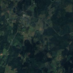
9.3 km E

Noen

Lake · 183 m
Noen

Mountains

Kramboberget
Photo: Lukas Beck · CC BY 4.0 · Wikimedia CommonsReport this photo · linked, not stored
5.0 km W

Kramboberget

324 m
Kramboberget
Omberg
Photo: Christian Tutte · Public domain · Wikimedia CommonsReport this photo · linked, not stored
33 km N

Omberg

263 m
Omberg

Heritage

Brahehus
Photo: Henrik Riomar · CC BY-SA 3.0 · Wikimedia CommonsReport this photo · linked, not stored
6.7 km NW

Brahehus

monument in Fornminnesregistret · 1650
Brahehus
Adelövs church
Photo: Unknown author · CC BY-SA 3.0 · Wikimedia CommonsReport this photo · linked, not stored
5.9 km NE

Adelövs church

ecclesiastical listed building complex · 1833
Adelövs church
Linderås Church
Photo: Unknown author · CC BY-SA 3.0 · Wikimedia CommonsReport this photo · linked, not stored
14 km E

Linderås Church

ecclesiastical listed building complex · 1795
Linderås Church

Museums

Rasmus kvarn
Photo: Ida Dicksson · CC BY-SA 4.0 · Wikimedia CommonsReport this photo · linked, not stored
8.7 km W

Rasmus kvarn

Rasmus kvarn
Satellite: Sentinel-2 cloudless 2016 by EOX IT Services GmbH · CC BY 4.0 · Contains modified Copernicus Sentinel data 2016
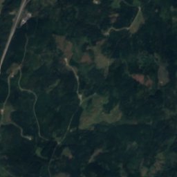
15 km NW

Tempelgården

Art museum
Tempelgården
Satellite: Sentinel-2 cloudless 2016 by EOX IT Services GmbH · CC BY 4.0 · Contains modified Copernicus Sentinel data 2016
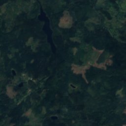
4.5 km S

Björkenäs mopedmuseum

Björkenäs mopedmuseum