






























Skip to content
Destinations
Weather & climate
Nature
Outdoors
Culture
Events
Sky & live
Satellite: Sentinel-2 cloudless 2016 by EOX IT Services GmbH · CC BY 4.0 · Contains modified Copernicus Sentinel data 2016
IslandLandsort, Stockholm

Öja

IslandBest Jun–Aug
Elevation–above sea level
Area2.2 km²surface
Nearest townLandsort1.4 km
58.76° N, 17.86° EUTC+2 · Central European Summer Time
When to goLandsort · weather score
JanFebMarAprMayJunJulAugSepOctNovDec26October
Best timeJun–Aug
October: high / low10° / 7°
Island

Öja in brief

Öja is an island in Landsort, Stockholm, Sweden — Swedish island in the Baltic sea.

It covers about 2.2 km².

The nearest town in the atlas is Landsort, 1.4 km to the S, where the weather is best in June, July and August.

Landsort: weather and travel guide

Weather nearby now

Forecast for Landsort
13°
Cloudy now
Wind37 km/h
Humidity89%
Cloud cover100%
Today
22 Oct
13°
12°
1 mm
Fri
23 Oct
12°
11°
7 mm
Sat
24 Oct
13°
11°
2 mm
Sun
25 Oct
12°
10°
11 mm
Mon
26 Oct
13°
10°
1 mm

Model run 00:00 UTCRefreshed several times a day

The island from above

2.2 km² · coastline as mapped in OpenStreetMap
1 km
When to go

The best months around Öja

Climate of Landsort

Month score in Landsort

Comfort, dry days and sunshine · out of 100
22
Jan
25
Feb
29
Mar
36
Apr
45
May
68
Jun
72
Jul
67
Aug
61
Sep
26
Oct
18
Nov
17
Dec
Map

Öja from above

Nature nearbyAll of Sweden
Satellite: Sentinel-2 cloudless 2016 by EOX IT Services GmbH · CC BY 4.0 · Contains modified Copernicus Sentinel data 2016
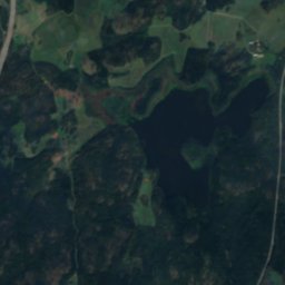
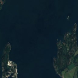
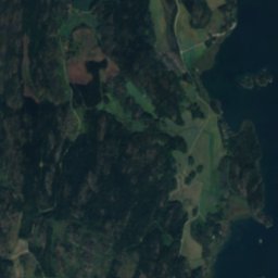
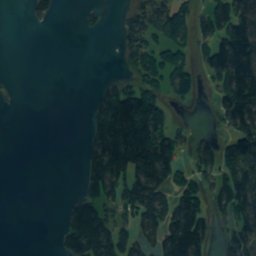
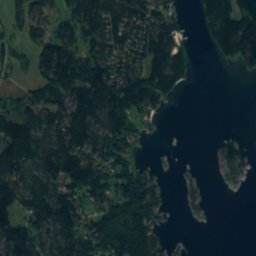
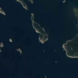
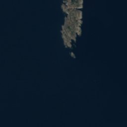
BåtgåsknösenIsland1.0 kmEBåtgåsknösen
Satellite: Sentinel-2 cloudless 2016 by EOX IT Services GmbH · CC BY 4.0 · Contains modified Copernicus Sentinel data 2016
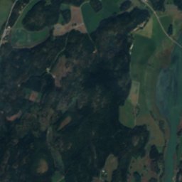
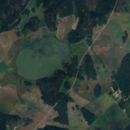
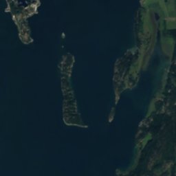
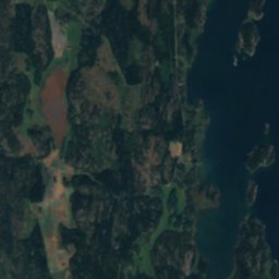
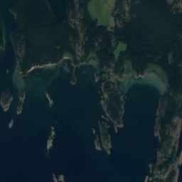
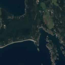
FuddenIsland1.6 kmNEFudden
Satellite: Sentinel-2 cloudless 2016 by EOX IT Services GmbH · CC BY 4.0 · Contains modified Copernicus Sentinel data 2016
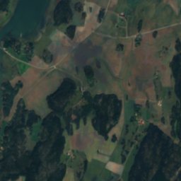
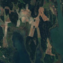
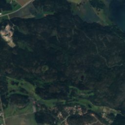
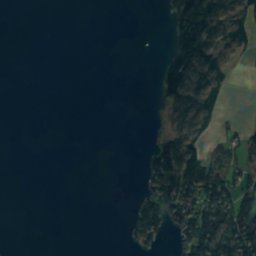
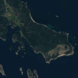
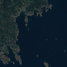
Lilla GrisskärIsland2.8 kmNWLilla Grisskär
Satellite: Sentinel-2 cloudless 2016 by EOX IT Services GmbH · CC BY 4.0 · Contains modified Copernicus Sentinel data 2016
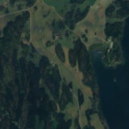
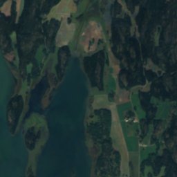
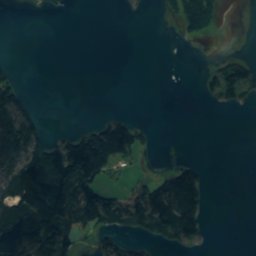
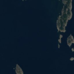
BulanIsland3.0 kmSEBulan
Satellite: Sentinel-2 cloudless 2016 by EOX IT Services GmbH · CC BY 4.0 · Contains modified Copernicus Sentinel data 2016
Äspskär, LandsortIsland3.1 kmNÄspskär, Landsort
Satellite: Sentinel-2 cloudless 2016 by EOX IT Services GmbH · CC BY 4.0 · Contains modified Copernicus Sentinel data 2016
GöjknösenIsland3.1 kmSWGöjknösen
Stay nearby

Towns close by

Landsort
Photo: Arild Vågen · CC BY-SA 3.0 · Wikimedia CommonsReport this photo · linked, not stored

Landsort

Stockholm · 1.4 km S
10°Oct high
12wet days
26score
Landsort
Nynäshamn
Photo: Pewee · CC BY 3.0 · Wikimedia CommonsReport this photo · linked, not stored

Nynäshamn

Stockholm · 17 km N
10°Oct high
12wet days
24score
Nynäshamn
Stora Vika
Photo: Holger.Ellgaard · CC BY-SA 4.0 · Wikimedia CommonsReport this photo · linked, not stored

Stora Vika

Stockholm · 23 km N
10°Oct high
12wet days
25score
Stora Vika
Trosa
Photo: Holger.Ellgaard · CC BY-SA 3.0 · Wikimedia CommonsReport this photo · linked, not stored

Trosa

Södermanland · 24 km NW
10°Oct high
12wet days
25score
Trosa
Around here

Landsort and around

Landsort
Photo: Arild Vågen · CC BY-SA 3.0 · Wikimedia CommonsReport this photo · linked, not stored

Landsort

Stockholm · Sweden
Jun–Augbest months
20°July high
6 maltitude
Landsort

Nature

Maren, Stora Vika
Photo: Holger.Ellgaard · CC BY-SA 4.0 · Wikimedia CommonsReport this photo · linked, not stored
20 km N

Maren, Stora Vika

Lake
Maren, Stora Vika
The Queen's Cave
Photo: Johan Fredriksson · CC BY-SA 3.0 · Wikimedia CommonsReport this photo · linked, not stored
21 km NE

The Queen's Cave

Cave
The Queen's Cave
Satellite: Sentinel-2 cloudless 2016 by EOX IT Services GmbH · CC BY 4.0 · Contains modified Copernicus Sentinel data 2016
25 km NW

Bovik

Lake · 1 m
Bovik

Heritage

Landsort chapel
Photo: Larske · CC BY-SA 3.0 · Wikimedia CommonsReport this photo · linked, not stored
under 100 m NE

Landsort chapel

ecclesiastical listed building complex · 1939
Landsort chapel
Satellite: Sentinel-2 cloudless 2016 by EOX IT Services GmbH · CC BY 4.0 · Contains modified Copernicus Sentinel data 2016
0.5 km S

Landsort lighthouse

governmental listed building · 1689
Landsort lighthouse
Landsort 152-mm. Artillery Battery
Photo: Holger.Ellgaard · CC BY-SA 3.0 · Wikimedia CommonsReport this photo · linked, not stored
0.5 km S

Landsort 152-mm. Artillery Battery

governmental listed building complex · 1938
Landsort 152-mm. Artillery Battery

Museums

Landsort 120-mm. Heavy Artillery Battery
Photo: Holger.Ellgaard · CC BY-SA 3.0 · Wikimedia CommonsReport this photo · linked, not stored
2.3 km N

Landsort 120-mm. Heavy Artillery Battery

1978
Landsort 120-mm. Heavy Artillery Battery
Museet at Landsort
Photo: Salgo60 · CC0 · Wikimedia CommonsReport this photo · linked, not stored
under 100 m W

Museet at Landsort

Museet at Landsort
Lighthouse Historical Exhibition
Photo: Arild Vågen · CC BY-SA 3.0 · Wikimedia CommonsReport this photo · linked, not stored
0.5 km S

Lighthouse Historical Exhibition

Lighthouse Historical Exhibition