
 Bietsik
 Lutaure
LakeJäkkvik, Norrbotten
Iraft
Lake456 m elevationBest Jun–Aug
Elevation456 mabove sea level
Area3.1 km²surface
Nearest townJäkkvik19 km
66.29° N, 16.61° EElevation 456 mUTC+2 · Central European Summer Time
When to goJäkkvik · weather score
Best timeJun–Aug
October: high / low4° / -1°
Lake
Iraft in brief
Iraft is a lake in Jäkkvik, Norrbotten, Sweden.
It lies at 456 m above sea level and covers about 3.1 km².
The nearest town in the atlas is Jäkkvik, 19 km to the NE, where the weather is best in June, July and August.
Weather nearby now
Forecast for Jäkkvik7°
Rain now
Today
22 Oct
8°
2°
5 mm
Fri
23 Oct
7°
4°
5 mm
Sat
24 Oct
6°
2°
7 mm
Sun
25 Oct
6°
3°
17 mm
Mon
26 Oct
7°
4°
16 mm
Model run 00:00 UTCRefreshed several times a day
The lake's water
Surface, average depth and volume of the lake, and the length of its shore.Surface3.1 km²
Average depth8 m
Volume23 million m³
Shoreline20 km
When to go
Climate of JäkkvikThe best months around Iraft
Month score in Jäkkvik
Comfort, dry days and sunshine · out of 10015
Jan
22
Feb
25
Mar
30
Apr
20
May
45
Jun
61
Jul
51
Aug
21
Sep
15
Oct
19
Nov
12
Dec
Map
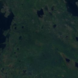
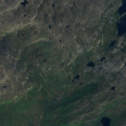
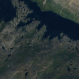
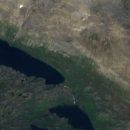
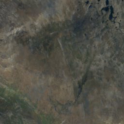
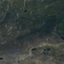
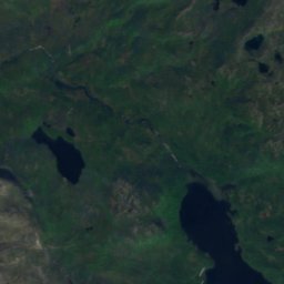
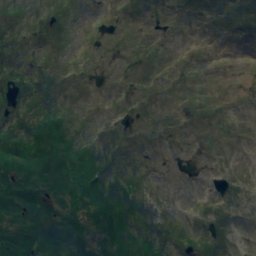
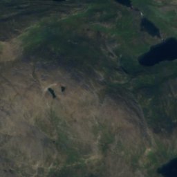
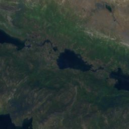
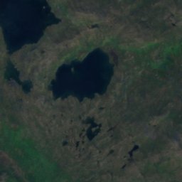
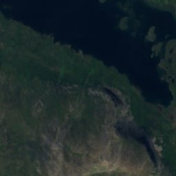
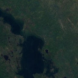
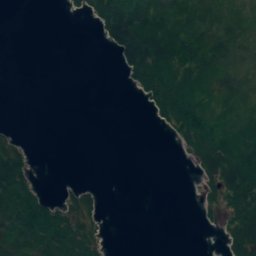
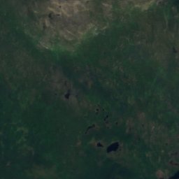
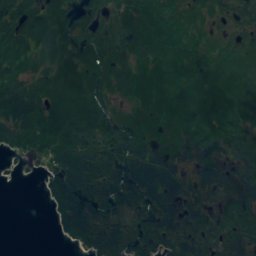
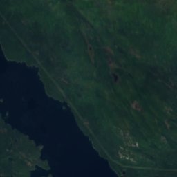
Iraft from above
Nature nearbyAll of Sweden

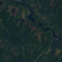
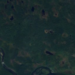
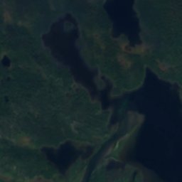
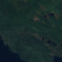
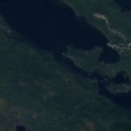
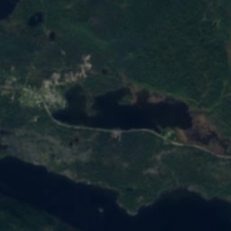
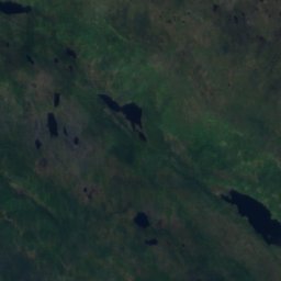
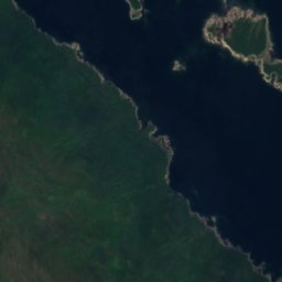
Satellite: Sentinel-2 cloudless 2016 by EOX IT Services GmbH · CC BY 4.0 · Contains modified Copernicus Sentinel data 2016

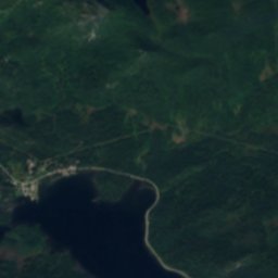
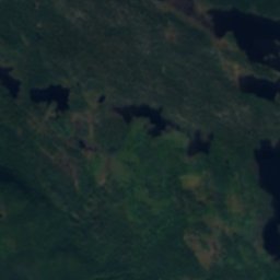
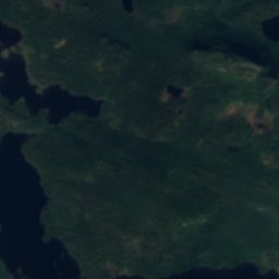
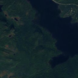
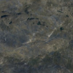
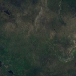
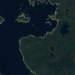
Satellite: Sentinel-2 cloudless 2016 by EOX IT Services GmbH · CC BY 4.0 · Contains modified Copernicus Sentinel data 2016
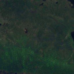
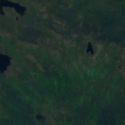
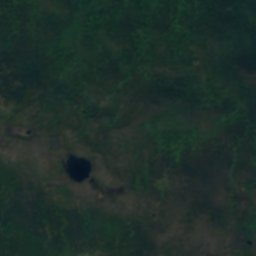
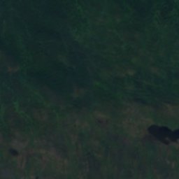
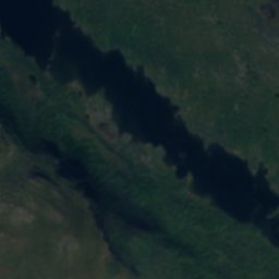
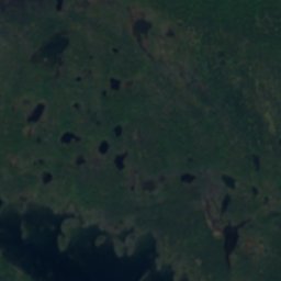
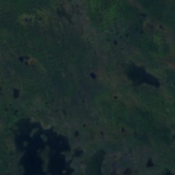
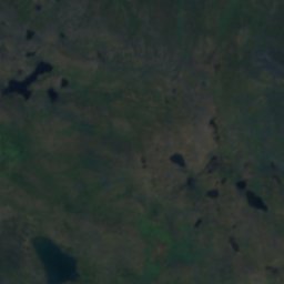
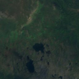
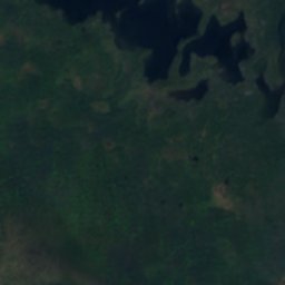
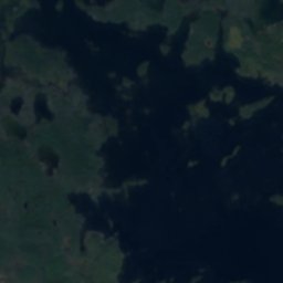
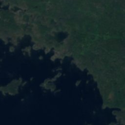
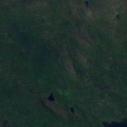
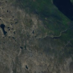
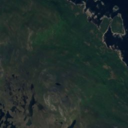
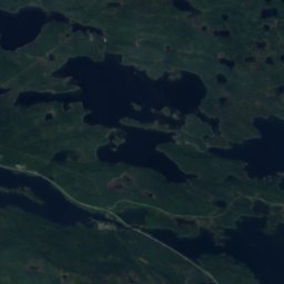
Satellite: Sentinel-2 cloudless 2016 by EOX IT Services GmbH · CC BY 4.0 · Contains modified Copernicus Sentinel data 2016
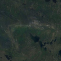
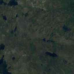
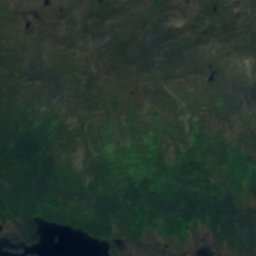
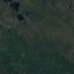
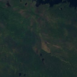
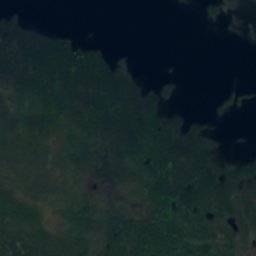
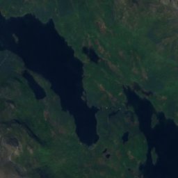
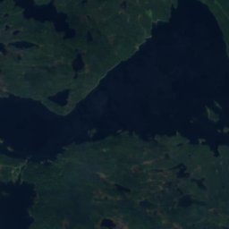
Satellite: Sentinel-2 cloudless 2016 by EOX IT Services GmbH · CC BY 4.0 · Contains modified Copernicus Sentinel data 2016
Around here
Jäkkvik and around

Nature


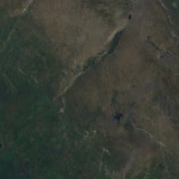
Mountains
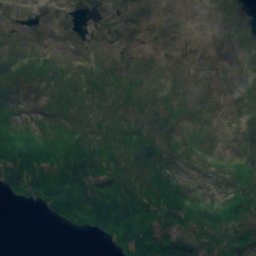
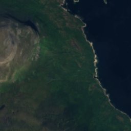
Satellite: Sentinel-2 cloudless 2016 by EOX IT Services GmbH · CC BY 4.0 · Contains modified Copernicus Sentinel data 2016
Stuor Njasja
923 m
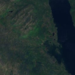
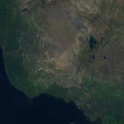
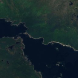
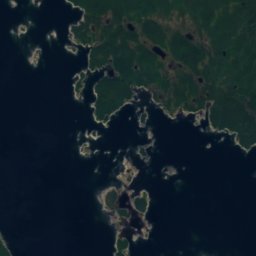
Satellite: Sentinel-2 cloudless 2016 by EOX IT Services GmbH · CC BY 4.0 · Contains modified Copernicus Sentinel data 2016
Uttsa Njasja
790 m
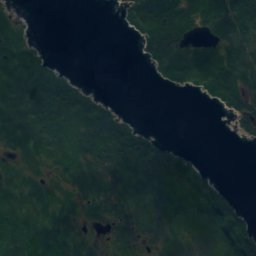


Satellite: Sentinel-2 cloudless 2016 by EOX IT Services GmbH · CC BY 4.0 · Contains modified Copernicus Sentinel data 2016
Tjidtjakvalle
774 m