Skip to content
Destinations
Weather & climate
Nature
Outdoors
Culture
Events
Sky & live
Grän
Photo: Johan Fredriksson · CC BY-SA 3.0 · Wikimedia Commons
GränReport this photo · linked, not stored
IslandUtö, Stockholm

Grän

IslandBest Jun–Aug
Elevation–above sea level
Area–surface
Nearest townUtö13 km
58.86° N, 18.20° EUTC+2 · Central European Summer Time
When to goUtö · weather score
JanFebMarAprMayJunJulAugSepOctNovDec27October
Best timeJun–Aug
October: high / low10° / 6°
Island

Grän in brief

Grän is an island in Utö, Stockholm, Sweden.

The nearest town in the atlas is Utö, 13 km to the NE, where the weather is best in June, July and August.

Utö: weather and travel guide

Weather nearby now

Forecast for Utö
12°
Rain now
Wind30 km/h
Humidity89%
Cloud cover100%
Today
22 Oct
13°
11°
1 mm
Fri
23 Oct
13°
9°
8 mm
Sat
24 Oct
12°
10°
1 mm
Sun
25 Oct
12°
9°
10 mm
Mon
26 Oct
12°
9°
1 mm

Model run 00:00 UTCRefreshed several times a day

When to go

The best months around Grän

Climate of Utö

Month score in Utö

Comfort, dry days and sunshine · out of 100
18
Jan
30
Feb
33
Mar
40
Apr
52
May
80
Jun
75
Jul
74
Aug
67
Sep
27
Oct
26
Nov
17
Dec
Map

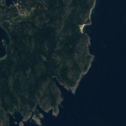
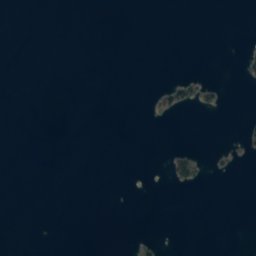
Grän from above

Nature nearbyAll of Sweden
Satellite: Sentinel-2 cloudless 2016 by EOX IT Services GmbH · CC BY 4.0 · Contains modified Copernicus Sentinel data 2016

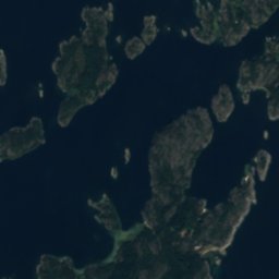
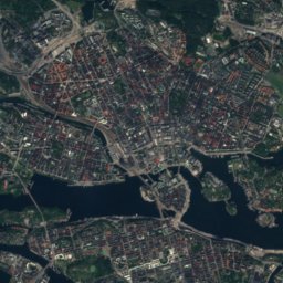
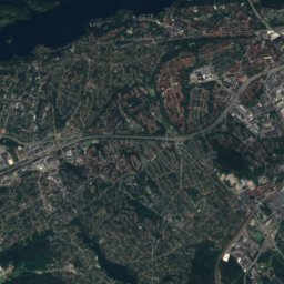
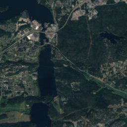
Bodskär, StockholmIslandunder 100 mSWBodskär, Stockholm
Satellite: Sentinel-2 cloudless 2016 by EOX IT Services GmbH · CC BY 4.0 · Contains modified Copernicus Sentinel data 2016

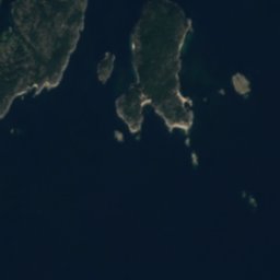
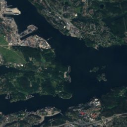
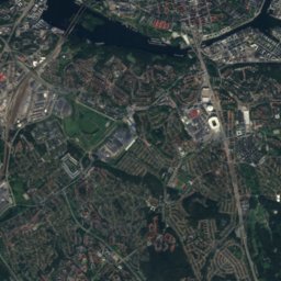
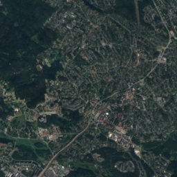
Österskär, UtöIsland0.5 kmEÖsterskär, Utö
Satellite: Sentinel-2 cloudless 2016 by EOX IT Services GmbH · CC BY 4.0 · Contains modified Copernicus Sentinel data 2016

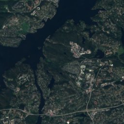
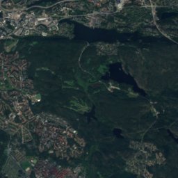
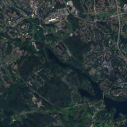
ÖstergrundIsland1.1 kmEÖstergrund
Satellite: Sentinel-2 cloudless 2016 by EOX IT Services GmbH · CC BY 4.0 · Contains modified Copernicus Sentinel data 2016
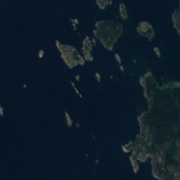
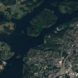
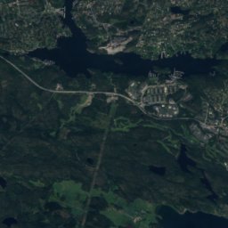
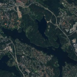
Långgrund, UtöIsland2.7 kmELånggrund, Utö
Satellite: Sentinel-2 cloudless 2016 by EOX IT Services GmbH · CC BY 4.0 · Contains modified Copernicus Sentinel data 2016
KapellgrundetIsland2.9 kmNWKapellgrundet
Satellite: Sentinel-2 cloudless 2016 by EOX IT Services GmbH · CC BY 4.0 · Contains modified Copernicus Sentinel data 2016
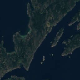
BjörnbådarnaIsland2.9 kmNBjörnbådarna
Stay nearby

Towns close by

Utö
Photo: Pewee · Public domain · Wikimedia CommonsReport this photo · linked, not stored

Utö

Stockholm · 13 km NE
10°Oct high
11wet days
27score
Utö
Nynäshamn
Photo: Pewee · CC BY 3.0 · Wikimedia CommonsReport this photo · linked, not stored

Nynäshamn

Stockholm · 15 km W
10°Oct high
12wet days
24score
Nynäshamn
Muskö
Photo: Holger.Ellgaard · CC BY-SA 4.0 · Wikimedia CommonsReport this photo · linked, not stored

Muskö

Stockholm · 16 km N
10°Oct high
12wet days
25score
Muskö
Ösmo
Photo: Pewee · CC BY 3.0 · Wikimedia CommonsReport this photo · linked, not stored

Ösmo

Stockholm · 22 km NW
10°Oct high
12wet days
24score
Ösmo
Around here

Utö and around

Utö
Photo: Pewee · Public domain · Wikimedia CommonsReport this photo · linked, not stored

Utö

Stockholm · Sweden
Jun–Augbest months
21°July high
22 maltitude
Utö

Nature

Bastumaren
Photo: Hangsna · CC BY-SA 4.0 · Wikimedia CommonsReport this photo · linked, not stored
8.7 km NE

Bastumaren

Lake · 5 m
Bastumaren
Tyresta National Park
Photo: Albertyanks - Albert Jankowski · Public domain · Wikimedia CommonsReport this photo · linked, not stored
25 km N

Tyresta National Park

National park
Tyresta National Park
Stensjön, Tyresta
Photo: I, TimSE · CC BY-SA 3.0 · Wikimedia CommonsReport this photo · linked, not stored
25 km N

Stensjön, Tyresta

Lake · 35 m
Stensjön, Tyresta

Mountains

Satellite: Sentinel-2 cloudless 2016 by EOX IT Services GmbH · CC BY 4.0 · Contains modified Copernicus Sentinel data 2016
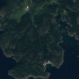
36 km NW

Hökarängstoppen

102 m
Hökarängstoppen
Telegraph Hill
Photo: Salgo60 · CC0 · Wikimedia CommonsReport this photo · linked, not stored
14 km N

Telegraph Hill

61 m
Telegraph Hill

Heritage

Utö Church
Photo: Arild Vågen · CC BY-SA 3.0 · Wikimedia CommonsReport this photo · linked, not stored
1.0 km W

Utö Church

ecclesiastical listed building complex · 1850
Utö Church
Ornö Church
Photo: Arild Vågen · CC BY-SA 4.0 · Wikimedia CommonsReport this photo · linked, not stored
12 km NE

Ornö Church

ecclesiastical listed building complex · 1886
Ornö Church
HSwMS Sprängaren
Photo: Bengt Oberger · CC BY-SA 4.0 · Wikimedia CommonsReport this photo · linked, not stored
14 km NW

HSwMS Sprängaren

listed historical ship in Sweden · 1918
HSwMS Sprängaren

Museums

Utö Mining Museum
Photo: Salgo60 · CC0 · Wikimedia CommonsReport this photo · linked, not stored
1.4 km NE

Utö Mining Museum

Utö Mining Museum
Veteranflottiljen
Photo: MKFI · Public domain · Wikimedia CommonsReport this photo · linked, not stored
14 km NW

Veteranflottiljen

1987
Veteranflottiljen
Grytholmens friluftsmuseum
Photo: Holger.Ellgaard · CC BY-SA 4.0 · Wikimedia CommonsReport this photo · linked, not stored
10 km W

Grytholmens friluftsmuseum

Open-air museum
Grytholmens friluftsmuseum