Skip to content
Destinations
Weather & climate
Nature
Outdoors
Culture
Events
Sky & live
Gapern
Photo: Johan Hemberg · CC BY 3.0 · Wikimedia Commons
GapernReport this photo · linked, not stored
Molkomssjön
Photo: Janee · CC BY-SA 3.0 · Wikimedia Commons
MolkomssjönReport this photo · linked, not stored
Molkomssjön
LakeVallargärdet, Värmland

Gapern

Lake61 m elevationBest Jun–Aug
Elevation61 mabove sea level
Area20 km²surface
Nearest townVallargärdet7.8 km
59.52° N, 13.69° EElevation 61 mUTC+2 · Central European Summer Time
When to goVallargärdet · weather score
JanFebMarAprMayJunJulAugSepOctNovDec17October
Best timeJun–Aug
October: high / low10° / 3°
Lake

Gapern in brief

Gapern is a lake in Vallargärdet, Värmland, Sweden.

It lies at 61 m above sea level and covers about 20 km².

The nearest town in the atlas is Vallargärdet, 7.8 km to the SW, where the weather is best in June, July and August.

Vallargärdet: weather and travel guide

Weather nearby now

Forecast for Vallargärdet
11°
Rain now
Wind15 km/h
Humidity100%
Cloud cover100%
Today
22 Oct
12°
7°
15 mm
Fri
23 Oct
10°
3°
4 mm
Sat
24 Oct
10°
3°
3 mm
Sun
25 Oct
10°
5°
21 mm
Mon
26 Oct
14°
6°
2 mm

Model run 00:00 UTCRefreshed several times a day

The lake's water

Surface, average depth and volume of the lake, and the length of its shore.
Surface20 km²
Average depth15 m
Volume296 million m³
Shoreline52 km
average depth 15 msurface at 61 m
When to go

The best months around Gapern

Climate of Vallargärdet

Month score in Vallargärdet

Comfort, dry days and sunshine · out of 100
15
Jan
22
Feb
27
Mar
35
Apr
59
May
65
Jun
65
Jul
65
Aug
58
Sep
17
Oct
14
Nov
15
Dec
Map

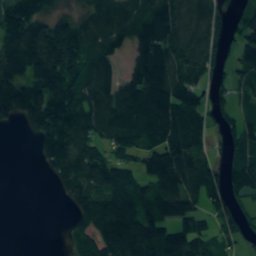
Gapern from above

Nature nearbyAll of Sweden
Photo: Janee · CC BY-SA 3.0 · Wikimedia CommonsReport this photo · linked, not stored
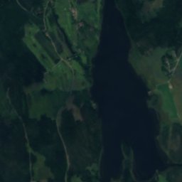
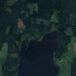
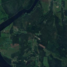
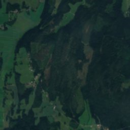
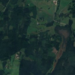
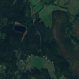
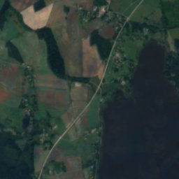
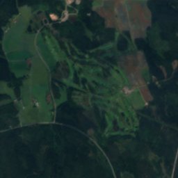
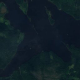
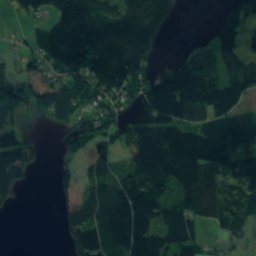
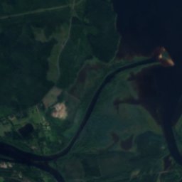
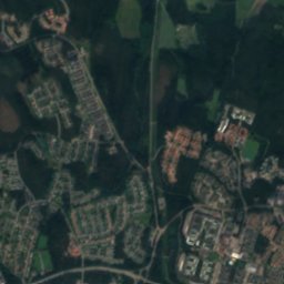
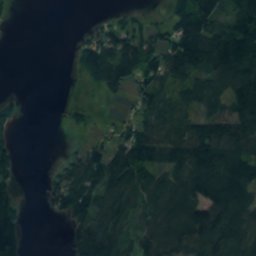
MolkomssjönLake6.8 kmNMolkomssjön
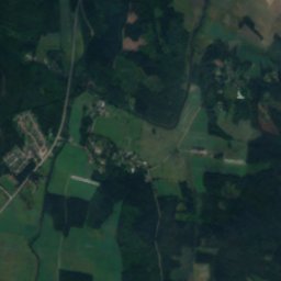
Satellite: Sentinel-2 cloudless 2016 by EOX IT Services GmbH · CC BY 4.0 · Contains modified Copernicus Sentinel data 2016
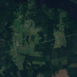
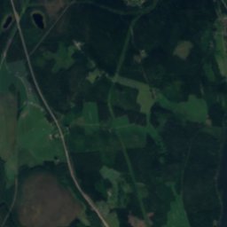
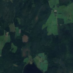
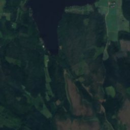
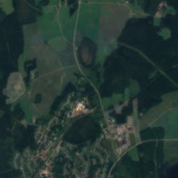
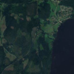
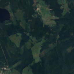
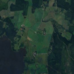
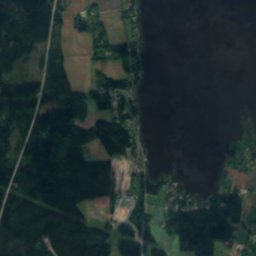
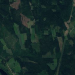
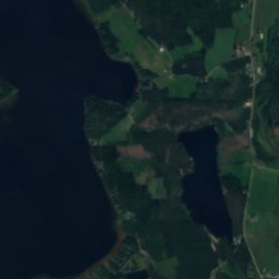
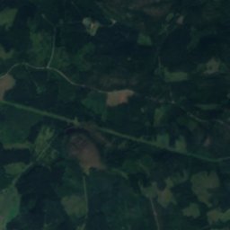
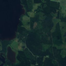
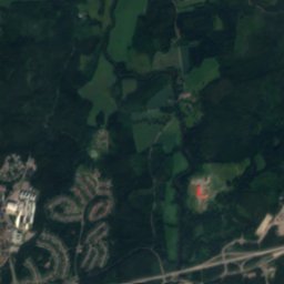
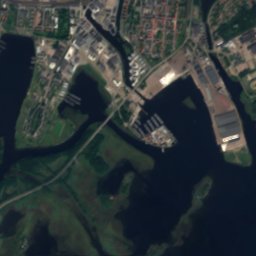
BlysjönLake8.7 kmNWBlysjön
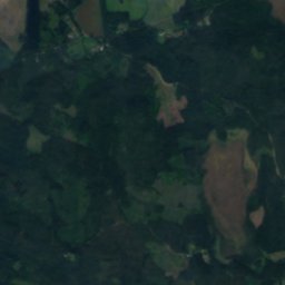
Satellite: Sentinel-2 cloudless 2016 by EOX IT Services GmbH · CC BY 4.0 · Contains modified Copernicus Sentinel data 2016
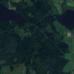
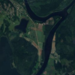
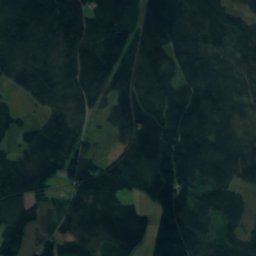
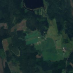
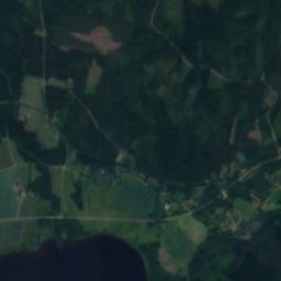
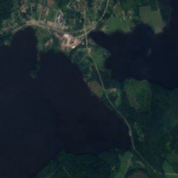
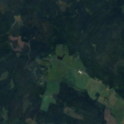
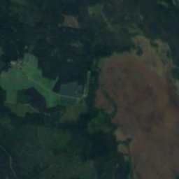
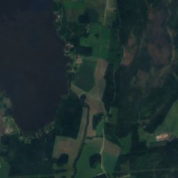
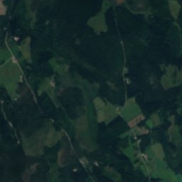
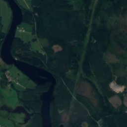
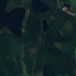
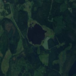
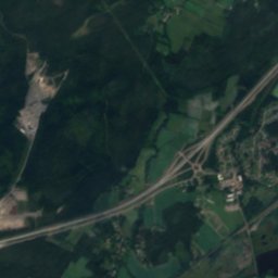
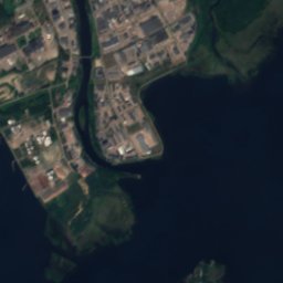
BorssjönLake8.9 kmNEBorssjön
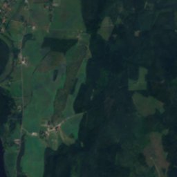
Satellite: Sentinel-2 cloudless 2016 by EOX IT Services GmbH · CC BY 4.0 · Contains modified Copernicus Sentinel data 2016
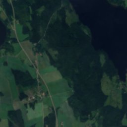
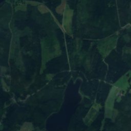
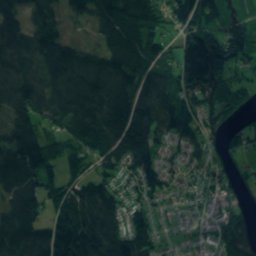
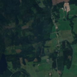
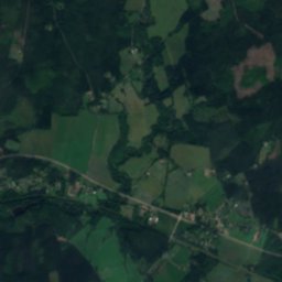
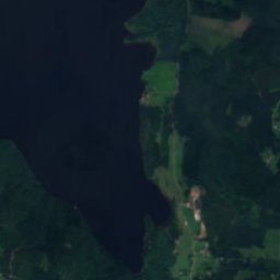
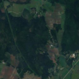
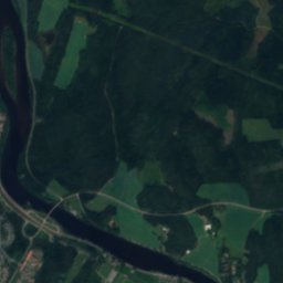
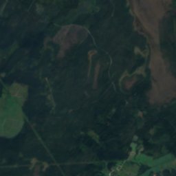
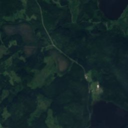
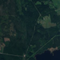
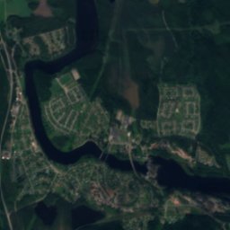
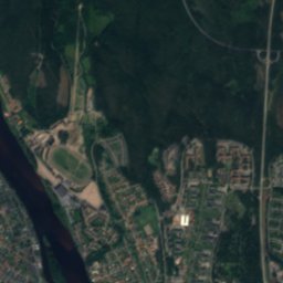
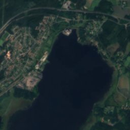
Alstern, VallargärdetLake11 kmSWAlstern, Vallargärdet
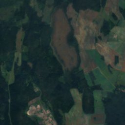
Satellite: Sentinel-2 cloudless 2016 by EOX IT Services GmbH · CC BY 4.0 · Contains modified Copernicus Sentinel data 2016
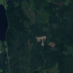
LustenLake14 kmNWLusten
Satellite: Sentinel-2 cloudless 2016 by EOX IT Services GmbH · CC BY 4.0 · Contains modified Copernicus Sentinel data 2016
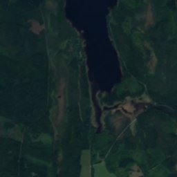
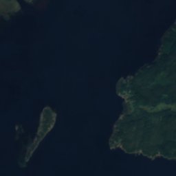
GlofsönIsland15 kmSGlofsön
Stay nearby

Towns close by

Vallargärdet
Photo: Janee · CC BY-SA 3.0 · Wikimedia CommonsReport this photo · linked, not stored

Vallargärdet

Värmland · 7.8 km SW
10°Oct high
14wet days
17score
Vallargärdet
Molkom
Photo: Larske · CC BY-SA 3.0 · Wikimedia CommonsReport this photo · linked, not stored

Molkom

Värmland · 8.9 km N
10°Oct high
16wet days
17score
Molkom
Forshaga
Photo: Janee · CC BY-SA 3.0 · Wikimedia CommonsReport this photo · linked, not stored

Forshaga

Värmland · 12 km W
10°Oct high
16wet days
17score
Forshaga
Skattkärr
Photo: Janee · CC BY-SA 3.0 · Wikimedia CommonsReport this photo · linked, not stored

Skattkärr

Värmland · 12 km S
10°Oct high
14wet days
17score
Skattkärr
Around here

Vallargärdet and around

Vallargärdet
Photo: Janee · CC BY-SA 3.0 · Wikimedia CommonsReport this photo · linked, not stored

Vallargärdet

Värmland · Sweden
Jun–Augbest months
23°July high
63 maltitude
Vallargärdet

Nature

Kroppkärrssjön
Photo: M.M.S. · Public domain · Wikimedia CommonsReport this photo · linked, not stored
9.7 km S

Kroppkärrssjön

Lake · 44 m
Kroppkärrssjön
Sundstatjärn
Photo: I99pema · CC BY-SA 3.0 · Wikimedia CommonsReport this photo · linked, not stored
11 km SW

Sundstatjärn

Lake · 45 m
Sundstatjärn
Sandbäckstjärnet
Photo: Nasko · CC BY-SA 3.0 · Wikimedia CommonsReport this photo · linked, not stored
11 km SW

Sandbäckstjärnet

Lake · 47 m
Sandbäckstjärnet

Heritage

Alsters kyrka
Photo: SiriusA · Public domain · Wikimedia CommonsReport this photo · linked, not stored
0.5 km E

Alsters kyrka

ecclesiastical listed building complex · 1696
Alsters kyrka
Karlstad Cathedral
Photo: Håkan Svensson (Xauxa) · CC BY 2.5 · Wikimedia CommonsReport this photo · linked, not stored
12 km SW

Karlstad Cathedral

ecclesiastical listed building complex · 1723
Karlstad Cathedral
Värmland County museum
Photo: I99pema · CC BY-SA 3.0 · Wikimedia CommonsReport this photo · linked, not stored
11 km SW

Värmland County museum

individual listed building complex · 1929
Värmland County museum

Museums

Forsnäs ramsåg
Photo: Leif Suonvieri · CC BY-SA 3.0 · Wikimedia CommonsReport this photo · linked, not stored
3.0 km NE

Forsnäs ramsåg

Forsnäs ramsåg
Dyvelstens flottningsmuseum
Photo: Pimvantend · CC BY-SA 3.0 · Wikimedia CommonsReport this photo · linked, not stored
9.1 km NW

Dyvelstens flottningsmuseum

1996
Dyvelstens flottningsmuseum
Brigadmuseum
Photo: Janee · CC BY-SA 3.0 · Wikimedia CommonsReport this photo · linked, not stored
11 km SW

Brigadmuseum

2013
Brigadmuseum