Skip to content
Destinations
Weather & climate
Nature
Outdoors
Culture
Events
Sky & live
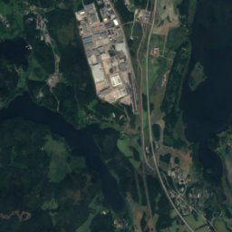
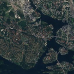
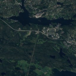
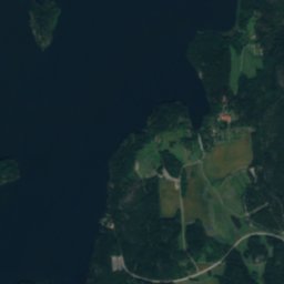
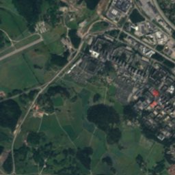
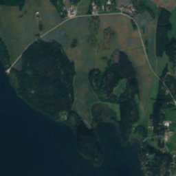
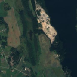
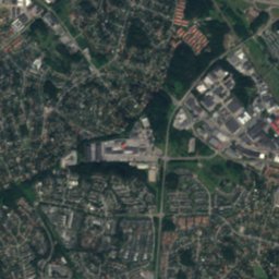
Satellite: Sentinel-2 cloudless 2016 by EOX IT Services GmbH · CC BY 4.0 · Contains modified Copernicus Sentinel data 2016
Görvälnsbadet
Photo: Bysmon · CC BY-SA 4.0 · Wikimedia Commons
GörvälnsbadetReport this photo · linked, not stored
Görvälnsbadet
Kallhällsbadet
Photo: Holger.Ellgaard · CC BY-SA 4.0 · Wikimedia Commons
KallhällsbadetReport this photo · linked, not stored
Kallhällsbadet
Koffsan
Photo: Holger.Ellgaard · CC BY-SA 4.0 · Wikimedia Commons
KoffsanReport this photo · linked, not stored
Koffsan
IslandKallhäll, Stockholm

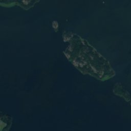
Foderholmen

Island20 m elevationBest May–Jul
Elevation20 mabove sea level
Area–surface
Nearest townKallhäll2.9 km
59.44° N, 17.76° EElevation 20 mUTC+2 · Central European Summer Time
When to goKallhäll · weather score
JanFebMarAprMayJunJulAugSepOctNovDec25October
Best timeMay–Jul
October: high / low10° / 4°
Island

Foderholmen in brief

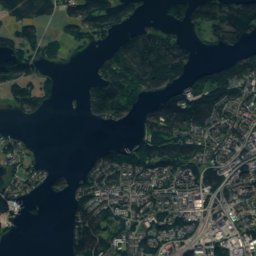
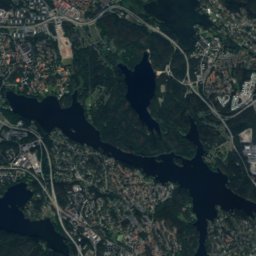
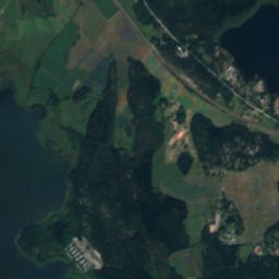
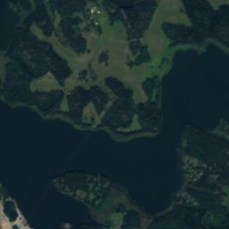
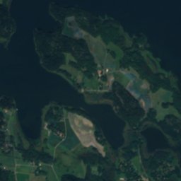
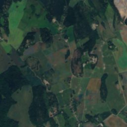
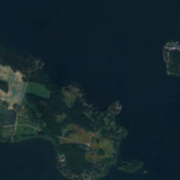
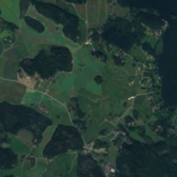
Foderholmen is an island in Kallhäll, Stockholm, Sweden.

It lies at 20 m above sea level.

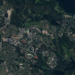
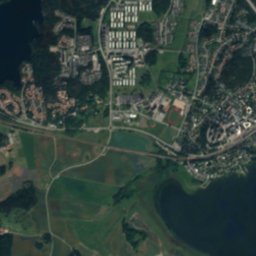
The nearest town is Kallhäll, 2.9 km to the NE, where the weather is best in May, June and July.

Kallhäll: weather and travel guide

Weather nearby now

Forecast for Kallhäll
9°
Cloudy now
Wind5 km/h
Humidity97%
Cloud cover100%
Today
23 Oct
12°
6°
6 mm
Sat
24 Oct
11°
3°
Sun
25 Oct
11°
8°
7 mm
Mon
26 Oct
12°
8°
1 mm
Tue
27 Oct
12°
7°
1 mm

Model run 12:00 UTCRefreshed several times a day

When to go

The best months around Foderholmen

Climate of Kallhäll

Month score in Kallhäll

Comfort, dry days and sunshine · out of 100
22
Jan
24
Feb
27
Mar
41
Apr
71
May
70
Jun
69
Jul
66
Aug
66
Sep
25
Oct
17
Nov
17
Dec
Map

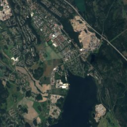
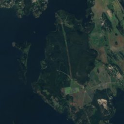
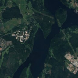
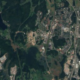
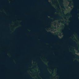
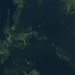
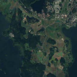
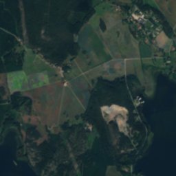
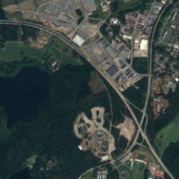
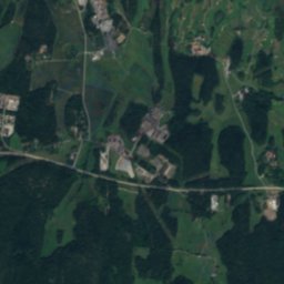
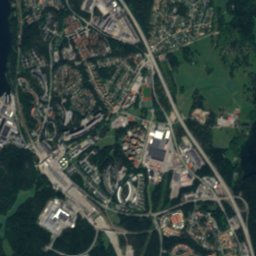
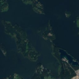
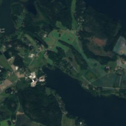
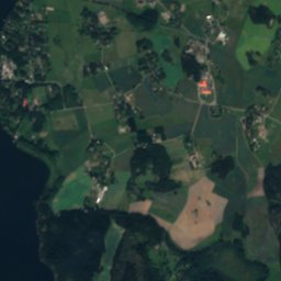
Foderholmen from above

Nature nearbyAll of Sweden
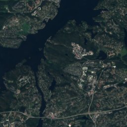
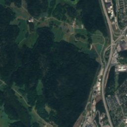
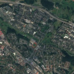
Satellite: Sentinel-2 cloudless 2016 by EOX IT Services GmbH · CC BY 4.0 · Contains modified Copernicus Sentinel data 2016
Eldholmen, StockholmIsland1.4 kmSEldholmen, Stockholm
Photo: Bysmon · CC BY-SA 4.0 · Wikimedia CommonsReport this photo · linked, not stored
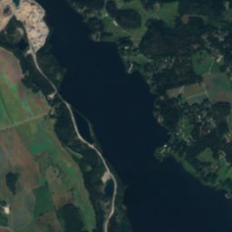
GörvälnsbadetBeach1.9 kmSGörvälnsbadet
Photo: Holger.Ellgaard · CC BY-SA 4.0 · Wikimedia CommonsReport this photo · linked, not stored
KallhällsbadetBeach2.1 kmNEKallhällsbadet
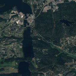
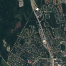
Satellite: Sentinel-2 cloudless 2016 by EOX IT Services GmbH · CC BY 4.0 · Contains modified Copernicus Sentinel data 2016
SkäftingeholmenIsland2.4 kmSSkäftingeholmen
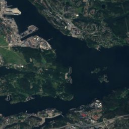
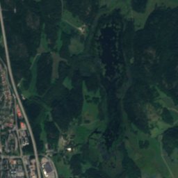
Satellite: Sentinel-2 cloudless 2016 by EOX IT Services GmbH · CC BY 4.0 · Contains modified Copernicus Sentinel data 2016
AskskärenIsland2.9 kmSWAskskären
Photo: Holger.Ellgaard · CC BY-SA 4.0 · Wikimedia CommonsReport this photo · linked, not stored
KoffsanIsland3.0 kmSKoffsan
Stay nearby

Towns close by

Kallhäll
Photo: Holger.Ellgaard · CC BY-SA 3.0 · Wikimedia CommonsReport this photo · linked, not stored

Kallhäll

Stockholm · 2.9 km NE
10°Oct high
12wet days
25score
Kallhäll
Kungsängen
Photo: Jssfrk · Public domain · Wikimedia CommonsReport this photo · linked, not stored

Kungsängen

Stockholm · 4.0 km N
10°Oct high
12wet days
25score
Kungsängen
Satellite: Sentinel-2 cloudless 2016 by EOX IT Services GmbH · CC BY 4.0 · Contains modified Copernicus Sentinel data 2016

Sylta

Stockholm · 4.8 km NW
10°Oct high
12wet days
25score
Sylta
Jakobsberg
Photo: Grufman · CC BY 4.0 · Wikimedia CommonsReport this photo · linked, not stored

Jakobsberg

Stockholm · 4.8 km SE
10°Oct high
12wet days
25score
Jakobsberg
Around here

Kallhäll and around

Kallhäll
Photo: Holger.Ellgaard · CC BY-SA 3.0 · Wikimedia CommonsReport this photo · linked, not stored

Kallhäll

Stockholm · Sweden
May–Julbest months
24°July high
30 maltitude
Kallhäll

Nature

Råcksta träsk
Photo: Johan Fredriksson · CC BY-SA 3.0 · Wikimedia CommonsReport this photo · linked, not stored
12 km S

Råcksta träsk

Lake · 13 m
Råcksta träsk
Lejondalssjon
Photo: Udo Schröter · CC BY-SA 4.0 · Wikimedia CommonsReport this photo · linked, not stored
12 km NW

Lejondalssjon

Lake · 19 m
Lejondalssjon
Norrviken, Rotebro
Photo: Johannes Scherman · CC BY 2.5 · Wikimedia CommonsReport this photo · linked, not stored
7.0 km E

Norrviken, Rotebro

Lake · 4 m
Norrviken, Rotebro

Mountains

Satellite: Sentinel-2 cloudless 2016 by EOX IT Services GmbH · CC BY 4.0 · Contains modified Copernicus Sentinel data 2016
26 km SE

Hökarängstoppen

102 m
Hökarängstoppen

Heritage

Görväln House
Photo: Holger.Ellgaard · CC BY-SA 3.0 · Wikimedia CommonsReport this photo · linked, not stored
2.4 km SW

Görväln House

individual listed building complex · 1679
Görväln House
Satellite: Sentinel-2 cloudless 2016 by EOX IT Services GmbH · CC BY 4.0 · Contains modified Copernicus Sentinel data 2016
1.9 km NW

Almare-Stäkets borg

monument in Fornminnesregistret
Almare-Stäkets borg
Uppland Runic Inscription 604
Photo: Holger.Ellgaard · CC BY-SA 3.0 · Wikimedia CommonsReport this photo · linked, not stored
2.2 km NW

Uppland Runic Inscription 604

monument in Fornminnesregistret
Uppland Runic Inscription 604

Museums

The Bolindermuseum
Photo: Bysmon · CC BY-SA 4.0 · Wikimedia CommonsReport this photo · linked, not stored
under 100 m NE

The Bolindermuseum

2016
The Bolindermuseum
Kvistaberg Observatory
Photo: Annika Peterson. · CC BY-SA 4.0 · Wikimedia CommonsReport this photo · linked, not stored
12 km NW

Kvistaberg Observatory

1919
Kvistaberg Observatory
Edsvik Konsthall
Photo: Holger.Ellgaard · CC BY-SA 3.0 · Wikimedia CommonsReport this photo · linked, not stored
8.7 km E

Edsvik Konsthall

Art museum · 1996
Edsvik Konsthall