Skip to content
Destinations
Weather & climate
Nature
Outdoors
Culture
Events
Sky & live
Fläsket
Photo: Bengt Oberger · CC BY-SA 3.0 · Wikimedia Commons
FläsketReport this photo · linked, not stored
Björnholmen, Drottningholm
Photo: Bengt Oberger · CC BY-SA 3.0 · Wikimedia Commons
Björnholmen, DrottningholmReport this photo · linked, not stored
Björnholmen, Drottningholm
Fågelön
Photo: Holger.Ellgaard · CC BY-SA 4.0 · Wikimedia Commons
FågelönReport this photo · linked, not stored
Fågelön
Granholmen, Drottningholm
Photo: Salgo60 · CC BY-SA 3.0 · Wikimedia Commons
Granholmen, DrottningholmReport this photo · linked, not stored
Granholmen, Drottningholm
Kärsön
Photo: Holger.Ellgaard · CC BY-SA 3.0 · Wikimedia Commons
KärsönReport this photo · linked, not stored
Kärsön
IslandDrottningholm, Stockholm

Fläsket

IslandBest May–Jul
Elevation–above sea level
Area0.0 km²surface
Nearest townDrottningholm3.5 km
59.30° N, 17.93° EUTC+2 · Central European Summer Time
When to goDrottningholm · weather score
JanFebMarAprMayJunJulAugSepOctNovDec25October
Best timeMay–Jul
October: high / low10° / 4°
Island

Fläsket in brief

Fläsket is an island in Drottningholm, Stockholm, Sweden.

It covers about 0.0 km².

The nearest town in the atlas is Drottningholm, 3.5 km to the NW, where the weather is best in May, June and July.

Drottningholm: weather and travel guide

Weather nearby now

Forecast for Drottningholm
12°
Cloudy now
Wind21 km/h
Humidity88%
Cloud cover100%
Today
22 Oct
13°
10°
1 mm
Fri
23 Oct
13°
6°
9 mm
Sat
24 Oct
12°
5°
3 mm
Sun
25 Oct
12°
7°
13 mm
Mon
26 Oct
12°
8°
1 mm

Model run 00:00 UTCRefreshed several times a day

When to go

The best months around Fläsket

Climate of Drottningholm

Month score in Drottningholm

Comfort, dry days and sunshine · out of 100
22
Jan
24
Feb
28
Mar
40
Apr
69
May
70
Jun
69
Jul
66
Aug
67
Sep
25
Oct
17
Nov
18
Dec
Map

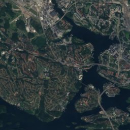
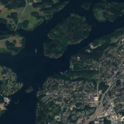
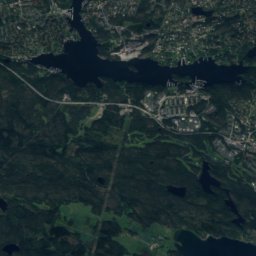
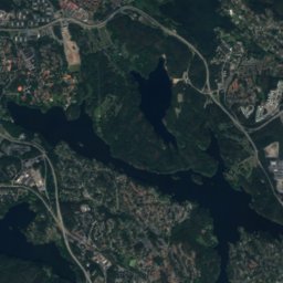
Fläsket from above

Nature nearbyAll of Sweden
Photo: Bengt Oberger · CC BY-SA 3.0 · Wikimedia CommonsReport this photo · linked, not stored
Björnholmen, DrottningholmIsland0.9 kmNEBjörnholmen, Drottningholm
Photo: Holger.Ellgaard · CC BY-SA 4.0 · Wikimedia CommonsReport this photo · linked, not stored
FågelönIsland1.0 kmNWFågelön
Photo: Salgo60 · CC BY-SA 3.0 · Wikimedia CommonsReport this photo · linked, not stored
Granholmen, DrottningholmIsland1.1 kmNGranholmen, Drottningholm
Photo: Holger.Ellgaard · CC BY-SA 3.0 · Wikimedia CommonsReport this photo · linked, not stored
KärsönIsland1.9 kmNWKärsön
Photo: Holger.Ellgaard · CC BY-SA 3.0 · Wikimedia CommonsReport this photo · linked, not stored
Rotholmen, StockholmIsland2.6 kmERotholmen, Stockholm
Photo: Holger.Ellgaard · CC BY-SA 3.0 · Wikimedia CommonsReport this photo · linked, not stored
KungshattIsland2.8 kmWKungshatt
Summits nearbyMountains of Sweden
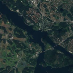
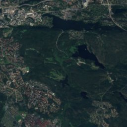
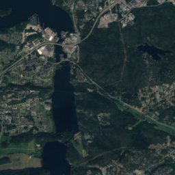
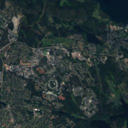
Satellite: Sentinel-2 cloudless 2016 by EOX IT Services GmbH · CC BY 4.0 · Contains modified Copernicus Sentinel data 2016
Hökarängstoppen9.2 km SE102 mJuly 23°Hökarängstoppen
Stay nearby

Towns close by

Drottningholm
Photo: Mastad · CC BY-SA 3.0 · Wikimedia CommonsReport this photo · linked, not stored

Drottningholm

Stockholm · 3.5 km NW
10°Oct high
12wet days
25score
Drottningholm
Vårby
Photo: I, Holger.Ellgaard · CC BY-SA 3.0 · Wikimedia CommonsReport this photo · linked, not stored

Vårby

Stockholm · 5.0 km SW
10°Oct high
12wet days
25score
Vårby
Parksidan
Photo: Holger.Ellgaard · CC BY-SA 3.0 · Wikimedia CommonsReport this photo · linked, not stored

Parksidan

Stockholm · 5.5 km SW
10°Oct high
12wet days
25score
Parksidan
Solsidan
Photo: Holger.Ellgaard · CC BY-SA 3.0 · Wikimedia CommonsReport this photo · linked, not stored

Solsidan

Stockholm · 6.3 km SW
10°Oct high
12wet days
26score
Solsidan
Around here

Drottningholm and around

Drottningholm
Photo: Mastad · CC BY-SA 3.0 · Wikimedia CommonsReport this photo · linked, not stored

Drottningholm

Stockholm · Sweden
May–Julbest months
24°July high
21 maltitude
Drottningholm

Nature

Royal National City Park
Photo: Arild Vågen · CC BY-SA 3.0 · Wikimedia CommonsReport this photo · linked, not stored
11 km E

Royal National City Park

National park
Royal National City Park
Norrström
Photo: Holger.Ellgaard · CC BY-SA 3.0 · Wikimedia CommonsReport this photo · linked, not stored
10 km E

Norrström

River
Norrström
Brunnsviken
Photo: I, Holger.Ellgaard · CC BY-SA 3.0 · Wikimedia CommonsReport this photo · linked, not stored
9.9 km NE

Brunnsviken

Lake · 9 m
Brunnsviken

Mountains

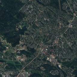
Satellite: Sentinel-2 cloudless 2016 by EOX IT Services GmbH · CC BY 4.0 · Contains modified Copernicus Sentinel data 2016
13 km SE

Hökarängstoppen

102 m
Hökarängstoppen
Telegraph Hill
Photo: Salgo60 · CC0 · Wikimedia CommonsReport this photo · linked, not stored
40 km SE

Telegraph Hill

61 m
Telegraph Hill

Heritage

Drottningholm Palace
Photo: Pudelek · CC BY-SA 4.0 · Wikimedia CommonsReport this photo · linked, not stored
0.4 km S

Drottningholm Palace

governmental listed building complex · 1699
Drottningholm Palace
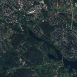
Satellite: Sentinel-2 cloudless 2016 by EOX IT Services GmbH · CC BY 4.0 · Contains modified Copernicus Sentinel data 2016
0.3 km SW

Drottningholm Palace Theatre

World Heritage Site · 1766
Drottningholm Palace Theatre
Chinese Pavilion at Drottningholm
Photo: Photo by CEphoto, Uwe Aranas or alternatively © CEphoto, Uwe Aranas · CC BY-SA 3.0 · Wikimedia CommonsReport this photo · linked, not stored
1.1 km SW

Chinese Pavilion at Drottningholm

World Heritage Site
Chinese Pavilion at Drottningholm

Museums

Museum of Adriaen de Vries
Photo: Holger.Ellgaard · CC BY-SA 3.0 · Wikimedia CommonsReport this photo · linked, not stored
under 100 m E

Museum of Adriaen de Vries

Art museum
Museum of Adriaen de Vries
Vasa Museum
Photo: Hanay · CC BY-SA 3.0 · Wikimedia CommonsReport this photo · linked, not stored
12 km E

Vasa Museum

Maritime museum · 1990
Vasa Museum
Skansen
Photo: Holger.Ellgaard · CC BY-SA 4.0 · Wikimedia CommonsReport this photo · linked, not stored
12 km E

Skansen

Open-air museum · 1891
Skansen