Skip to content
Destinations
Weather & climate
Nature
Outdoors
Culture
Events
Sky & live
Eriksö
Photo: Bengt Nyman from Vaxholm, Sweden · CC BY 2.0 · Wikimedia Commons
EriksöReport this photo · linked, not stored
IslandOaxen, Stockholm

Eriksö

IslandBest Jun–Aug
Elevation–above sea level
Area–surface
Nearest townOaxen5.3 km
58.93° N, 17.65° EUTC+2 · Central European Summer Time
When to goOaxen · weather score
JanFebMarAprMayJunJulAugSepOctNovDec25October
Best timeJun–Aug
October: high / low11° / 4°
Island

Eriksö in brief

Eriksö is an island in Oaxen, Stockholm, Sweden.

The nearest town in the atlas is Oaxen, 5.3 km to the NE, where the weather is best in June, July and August.

Oaxen: weather and travel guide

Weather nearby now

Forecast for Oaxen
12°
Rain now
Wind22 km/h
Humidity89%
Cloud cover100%
Today
22 Oct
14°
11°
1 mm
Fri
23 Oct
13°
6°
7 mm
Sat
24 Oct
13°
6°
3 mm
Sun
25 Oct
12°
7°
14 mm
Mon
26 Oct
12°
7°
1 mm

Model run 00:00 UTCRefreshed several times a day

When to go

The best months around Eriksö

Climate of Oaxen

Month score in Oaxen

Comfort, dry days and sunshine · out of 100
22
Jan
25
Feb
29
Mar
39
Apr
66
May
73
Jun
71
Jul
67
Aug
67
Sep
25
Oct
17
Nov
17
Dec
Map

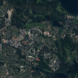
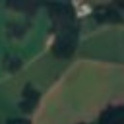
Eriksö from above

Nature nearbyAll of Sweden
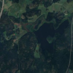
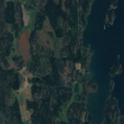
Satellite: Sentinel-2 cloudless 2016 by EOX IT Services GmbH · CC BY 4.0 · Contains modified Copernicus Sentinel data 2016
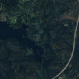
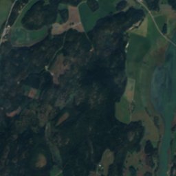
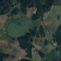
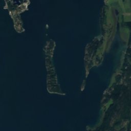
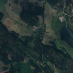
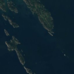
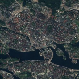
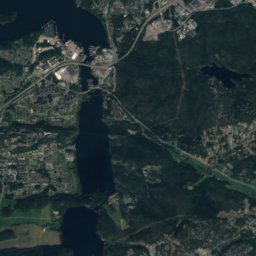
BovikLake0.8 kmNBovik
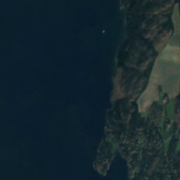
Satellite: Sentinel-2 cloudless 2016 by EOX IT Services GmbH · CC BY 4.0 · Contains modified Copernicus Sentinel data 2016
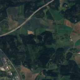
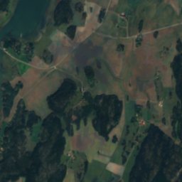
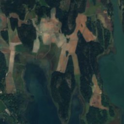
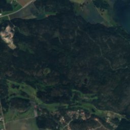
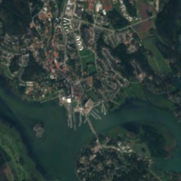
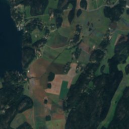
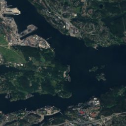
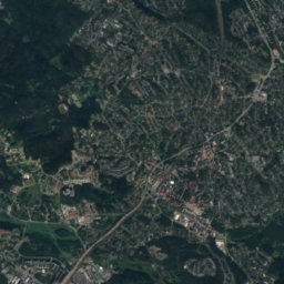
FridöIsland2.1 kmNWFridö
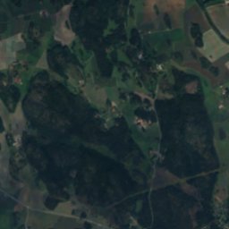
Satellite: Sentinel-2 cloudless 2016 by EOX IT Services GmbH · CC BY 4.0 · Contains modified Copernicus Sentinel data 2016
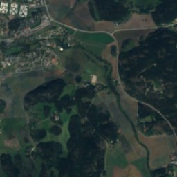
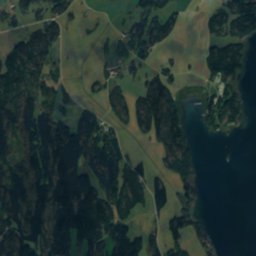
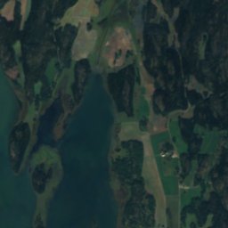
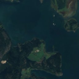
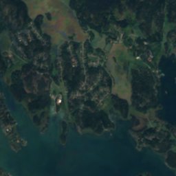
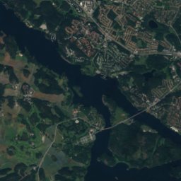
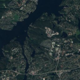
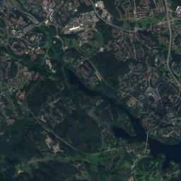
Björnö, StockholmIsland3.4 kmSEBjörnö, Stockholm
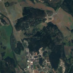
Satellite: Sentinel-2 cloudless 2016 by EOX IT Services GmbH · CC BY 4.0 · Contains modified Copernicus Sentinel data 2016
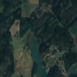
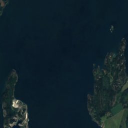
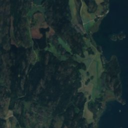
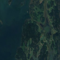
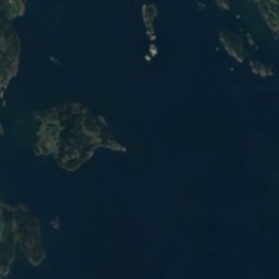
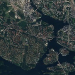
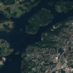
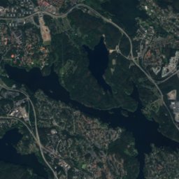
Oxnö, OaxenIsland3.4 kmSEOxnö, Oaxen
Satellite: Sentinel-2 cloudless 2016 by EOX IT Services GmbH · CC BY 4.0 · Contains modified Copernicus Sentinel data 2016
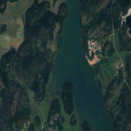
GälönIsland4.5 kmSGälön
Satellite: Sentinel-2 cloudless 2016 by EOX IT Services GmbH · CC BY 4.0 · Contains modified Copernicus Sentinel data 2016
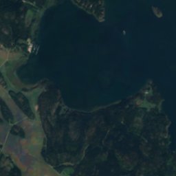
RegarnIsland5.3 kmNERegarn
Stay nearby

Towns close by

Oaxen
Photo: Boberger · CC BY-SA 3.0 · Wikimedia CommonsReport this photo · linked, not stored

Oaxen

Stockholm · 5.3 km NE
11°Oct high
12wet days
25score
Oaxen
Trosa
Photo: Holger.Ellgaard · CC BY-SA 3.0 · Wikimedia CommonsReport this photo · linked, not stored

Trosa

Södermanland · 7.2 km SW
10°Oct high
12wet days
25score
Trosa
Stora Vika
Photo: Holger.Ellgaard · CC BY-SA 4.0 · Wikimedia CommonsReport this photo · linked, not stored

Stora Vika

Stockholm · 8.2 km E
10°Oct high
12wet days
25score
Stora Vika
Vagnhärad
Photo: Henrik Sendelbach · CC BY-SA 3.0 · Wikimedia CommonsReport this photo · linked, not stored

Vagnhärad

Södermanland · 9.4 km W
10°Oct high
12wet days
24score
Vagnhärad
Around here

Oaxen and around

Oaxen
Photo: Boberger · CC BY-SA 3.0 · Wikimedia CommonsReport this photo · linked, not stored

Oaxen

Stockholm · Sweden
Jun–Augbest months
23°July high
4 maltitude
Oaxen

Nature

Västra Styran
Photo: Holger.Ellgaard · CC BY-SA 4.0 · Wikimedia CommonsReport this photo · linked, not stored
7.6 km E

Västra Styran

Lake · 26 m
Västra Styran
Muskan
Photo: Ainali · CC BY-SA 3.0 · Wikimedia CommonsReport this photo · linked, not stored
11 km E

Muskan

Lake · 25 m
Muskan
Norasjön, Södermanland
Photo: Ainali · CC BY-SA 3.0 · Wikimedia CommonsReport this photo · linked, not stored
9.7 km W

Norasjön, Södermanland

Lake
Norasjön, Södermanland

Mountains

Satellite: Sentinel-2 cloudless 2016 by EOX IT Services GmbH · CC BY 4.0 · Contains modified Copernicus Sentinel data 2016
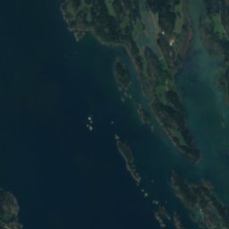
38 km NE

Hökarängstoppen

102 m
Hökarängstoppen

Heritage

Tureholm Castle
Photo: Holger.Ellgaard · CC BY-SA 3.0 · Wikimedia CommonsReport this photo · linked, not stored
14 km SW

Tureholm Castle

individual listed building complex · 1745
Tureholm Castle
Satellite: Sentinel-2 cloudless 2016 by EOX IT Services GmbH · CC BY 4.0 · Contains modified Copernicus Sentinel data 2016
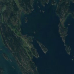
7.8 km W

Tullgarn Palace

governmental listed building · 1598
Tullgarn Palace
Stennäs sommarhus
Photo: Sune Sundahl · Public domain · Wikimedia CommonsReport this photo · linked, not stored
6.0 km SE

Stennäs sommarhus

individual listed building complex · 1930
Stennäs sommarhus

Museums

Satellite: Sentinel-2 cloudless 2016 by EOX IT Services GmbH · CC BY 4.0 · Contains modified Copernicus Sentinel data 2016
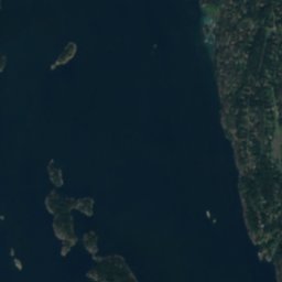
0.7 km NW

Oaxens kalkbruk

Oaxens kalkbruk
Hedenstedts taktegelmuseum
Photo: Holger.Ellgaard · CC BY-SA 4.0 · Wikimedia CommonsReport this photo · linked, not stored
11 km W

Hedenstedts taktegelmuseum

Hedenstedts taktegelmuseum
Satellite: Sentinel-2 cloudless 2016 by EOX IT Services GmbH · CC BY 4.0 · Contains modified Copernicus Sentinel data 2016
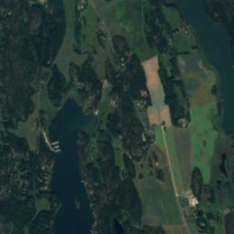
8.8 km NW

Hölö Mörkö hembygdsförening

Hölö Mörkö hembygdsförening