
Photo: Holger Ellgaard · CC BY-SA 3.0 · Wikimedia Commons
DrevvikenReport this photo · linked, not stored
DrevvikenReport this photo · linked, not stored

Photo: Holger.Ellgaard · CC BY-SA 4.0 · Wikimedia Commons
Flaten, StockholmReport this photo · linked, not stored
Flaten, StockholmFlaten, StockholmReport this photo · linked, not stored

Photo: Holger.Ellgaard · CC BY-SA 4.0 · Wikimedia Commons
SkarpnäcksgrottanReport this photo · linked, not stored
SkarpnäcksgrottanSkarpnäcksgrottanReport this photo · linked, not stored

Photo: Holger.Ellgaard · CC BY-SA 4.0 · Wikimedia Commons
ÄltasjönReport this photo · linked, not stored
ÄltasjönÄltasjönReport this photo · linked, not stored

Photo: Udo Schröter · CC BY-SA 4.0 · Wikimedia Commons
Barnsjön, StockholmReport this photo · linked, not stored
Barnsjön, StockholmBarnsjön, StockholmReport this photo · linked, not stored
LakeTrollbäcken, Stockholm
Drevviken
Lake19 m elevationBest Jun–Aug
Elevation19 mabove sea level
Area5.3 km²surface
Nearest townTrollbäcken1.7 km
59.23° N, 18.18° EElevation 19 mUTC+2 · Central European Summer Time
When to goTrollbäcken · weather score
Best timeJun–Aug
October: high / low10° / 5°
Lake
Drevviken in brief
Drevviken is a lake in Trollbäcken, Stockholm, Sweden.
It lies at 19 m above sea level and covers about 5.3 km².
The nearest town in the atlas is Trollbäcken, 1.7 km to the SE, where the weather is best in June, July and August.
Weather nearby now
Forecast for Trollbäcken12°
Rain now
Today
22 Oct
13°
10°
1 mm
Fri
23 Oct
13°
6°
10 mm
Sat
24 Oct
12°
6°
1 mm
Sun
25 Oct
12°
7°
12 mm
Mon
26 Oct
11°
8°
1 mm
Model run 00:00 UTCRefreshed several times a day
The lake's water
Surface, average depth and volume of the lake, and the length of its shore.Surface5.3 km²
Average depth10 m
Volume54 million m³
Shoreline32 km
When to go
Climate of TrollbäckenThe best months around Drevviken
Month score in Trollbäcken
Comfort, dry days and sunshine · out of 10021
Jan
24
Feb
29
Mar
36
Apr
57
May
75
Jun
73
Jul
68
Aug
62
Sep
24
Oct
17
Nov
15
Dec
Map
Drevviken from above
Nature nearbyAll of Sweden


Summits nearbyMountains of Sweden
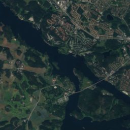
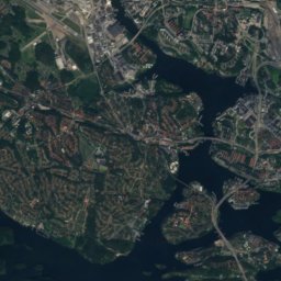
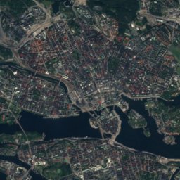
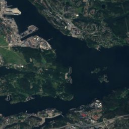
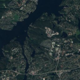
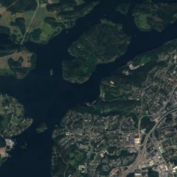
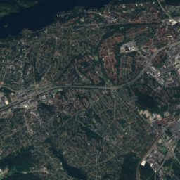
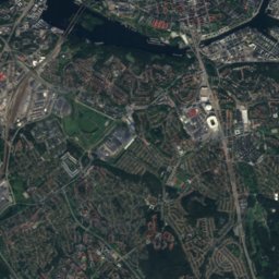
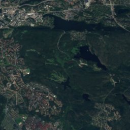
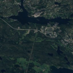
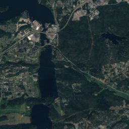
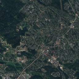
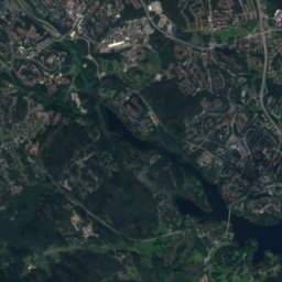
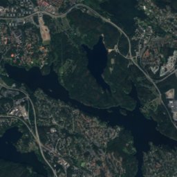
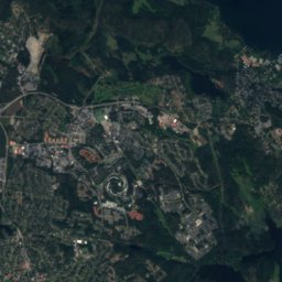
Satellite: Sentinel-2 cloudless 2016 by EOX IT Services GmbH · CC BY 4.0 · Contains modified Copernicus Sentinel data 2016

Stay nearby
Towns close by


Around here
Trollbäcken and around
Nature

Photo: Albertyanks - Albert Jankowski · Public domain · Wikimedia CommonsReport this photo · linked, not stored
Tyresta National Park
National park


Mountains
Satellite: Sentinel-2 cloudless 2016 by EOX IT Services GmbH · CC BY 4.0 · Contains modified Copernicus Sentinel data 2016
Hökarängstoppen
102 m

Heritage


Photo: User Hasse A on sv.wikipedia · CC BY-SA 3.0 · Wikimedia CommonsReport this photo · linked, not stored
Bollmoradalens kyrka
ecclesiastical listed building complex · 1973


