Nature
Waters, ice and wild places of Suriname
Lakes, waterfalls, glaciers, national parks and mountain huts, each with its location, its size and the weather of the towns around it.
Lakes1with a page
Waterfalls6with a page
Beaches2with a page
Islands17with a page

Lakes
Lakes of Suriname
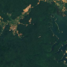
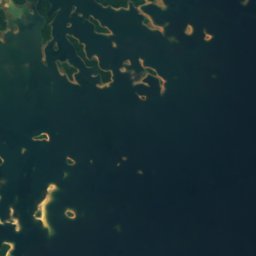

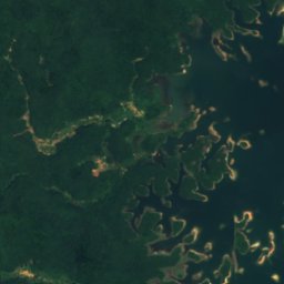
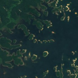
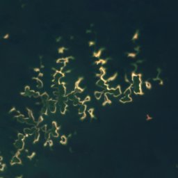
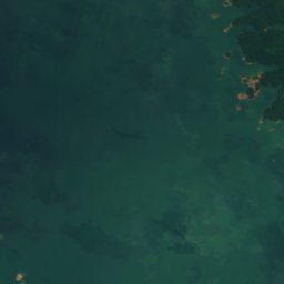
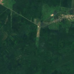
Satellite: Sentinel-2 cloudless 2016 by EOX IT Services GmbH · CC BY 4.0 · Contains modified Copernicus Sentinel data 2016
Brokopondo Reservoir
Brownsweg, Brokopondo District
Waterfalls
Waterfalls of Suriname

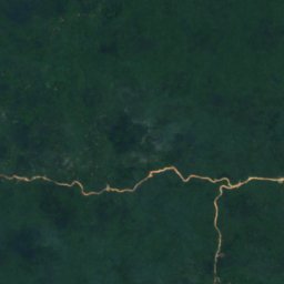
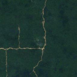
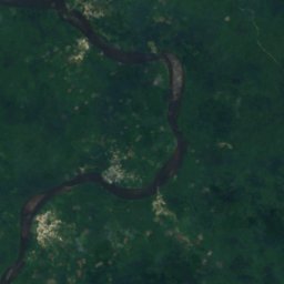
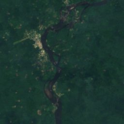
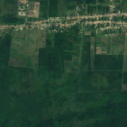
Satellite: Sentinel-2 cloudless 2016 by EOX IT Services GmbH · CC BY 4.0 · Contains modified Copernicus Sentinel data 2016
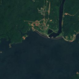
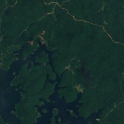
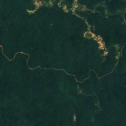
Feroelasie Val
Pokigron, Sipaliwini District
66 m
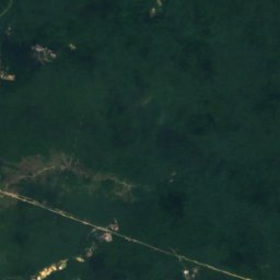
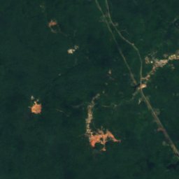
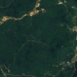
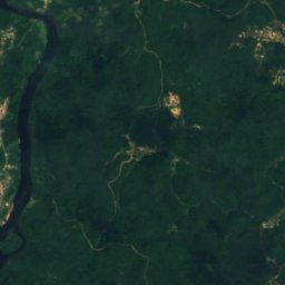
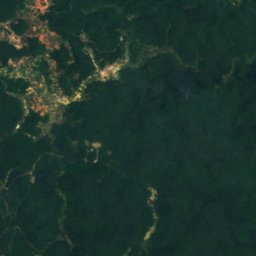
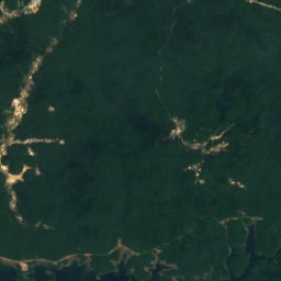
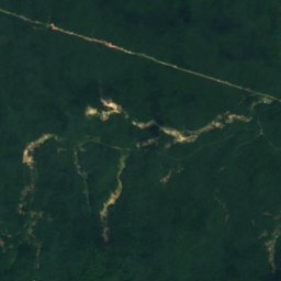
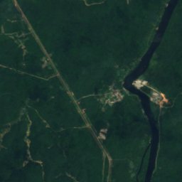
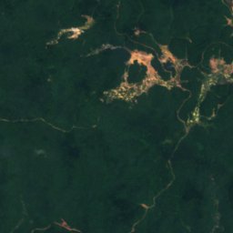
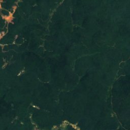
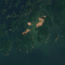
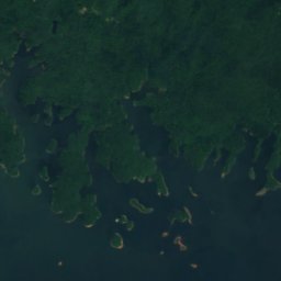
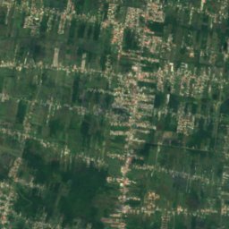
Satellite: Sentinel-2 cloudless 2016 by EOX IT Services GmbH · CC BY 4.0 · Contains modified Copernicus Sentinel data 2016
Balling Soela
Brokopondo, Brokopondo District
17 m
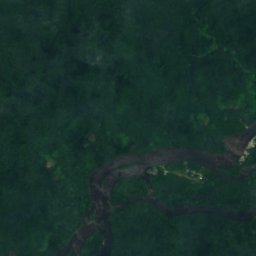
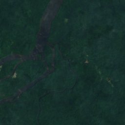
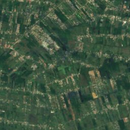
Satellite: Sentinel-2 cloudless 2016 by EOX IT Services GmbH · CC BY 4.0 · Contains modified Copernicus Sentinel data 2016
Granholo Vallen
Drietabbetje, Sipaliwini District
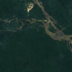
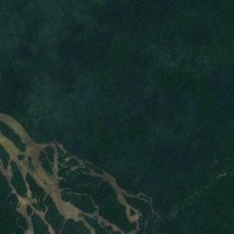
Satellite: Sentinel-2 cloudless 2016 by EOX IT Services GmbH · CC BY 4.0 · Contains modified Copernicus Sentinel data 2016
Lensiedede Val
Cottica, Sipaliwini District
83 m
Satellite: Sentinel-2 cloudless 2016 by EOX IT Services GmbH · CC BY 4.0 · Contains modified Copernicus Sentinel data 2016
Penabisoengoe Vallen
Cottica, Sipaliwini District
Beaches
Beaches of Suriname
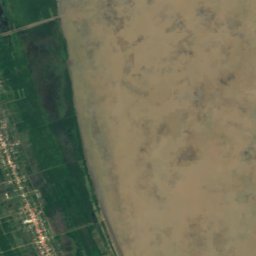
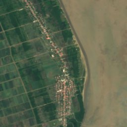
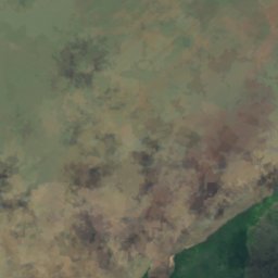
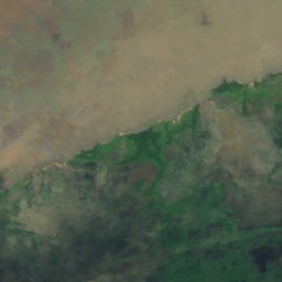
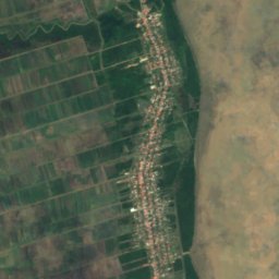
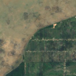
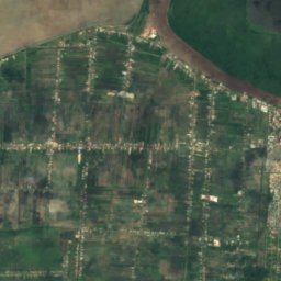
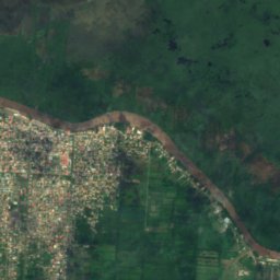
Satellite: Sentinel-2 cloudless 2016 by EOX IT Services GmbH · CC BY 4.0 · Contains modified Copernicus Sentinel data 2016
't Strandje
Nieuw Nickerie, Nickerie District
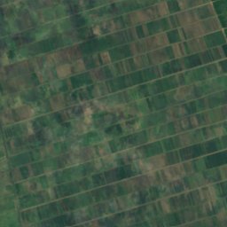
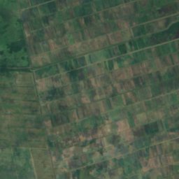
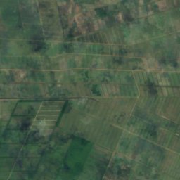
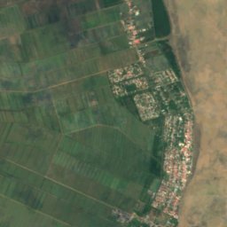
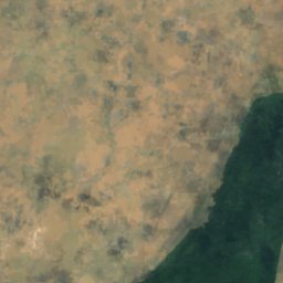
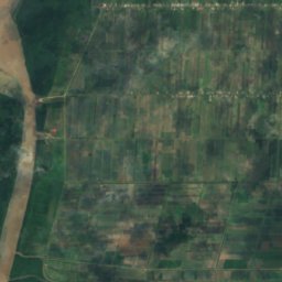
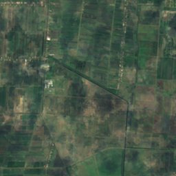
Satellite: Sentinel-2 cloudless 2016 by EOX IT Services GmbH · CC BY 4.0 · Contains modified Copernicus Sentinel data 2016
Corantijnstrand
Nieuw Nickerie, Nickerie District
Islands
Islands of Suriname
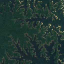
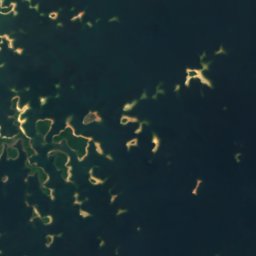
Satellite: Sentinel-2 cloudless 2016 by EOX IT Services GmbH · CC BY 4.0 · Contains modified Copernicus Sentinel data 2016
Kwana Island
Brownsweg, Brokopondo District
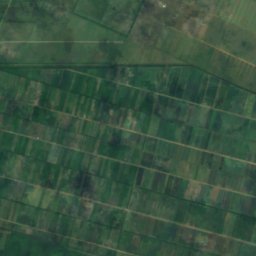
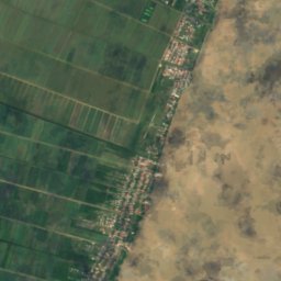
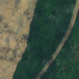
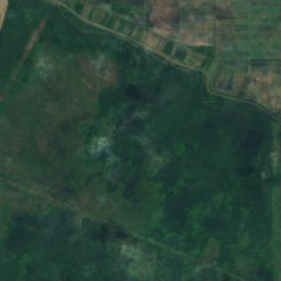
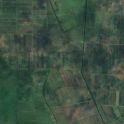
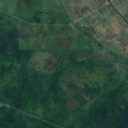
Satellite: Sentinel-2 cloudless 2016 by EOX IT Services GmbH · CC BY 4.0 · Contains modified Copernicus Sentinel data 2016
Papegaaien Eiland
Nieuw Nickerie, Nickerie District
Satellite: Sentinel-2 cloudless 2016 by EOX IT Services GmbH · CC BY 4.0 · Contains modified Copernicus Sentinel data 2016
Kninipaati
Pokigron, Sipaliwini District
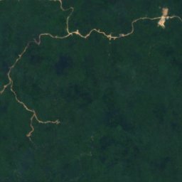
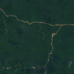
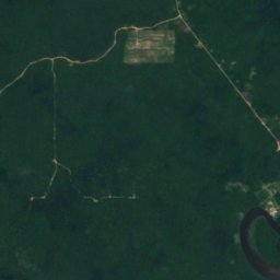
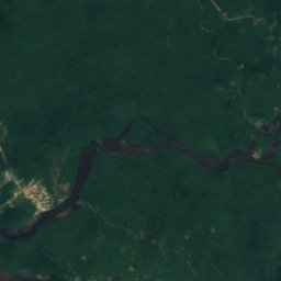
Satellite: Sentinel-2 cloudless 2016 by EOX IT Services GmbH · CC BY 4.0 · Contains modified Copernicus Sentinel data 2016
Isadou
Pokigron, Sipaliwini District
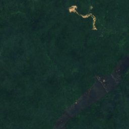
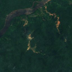
Satellite: Sentinel-2 cloudless 2016 by EOX IT Services GmbH · CC BY 4.0 · Contains modified Copernicus Sentinel data 2016
Pauwie
Drietabbetje, Sipaliwini District
Satellite: Sentinel-2 cloudless 2016 by EOX IT Services GmbH · CC BY 4.0 · Contains modified Copernicus Sentinel data 2016
Tang Loekoe
Pokigron, Sipaliwini District
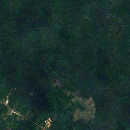
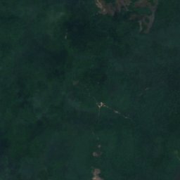
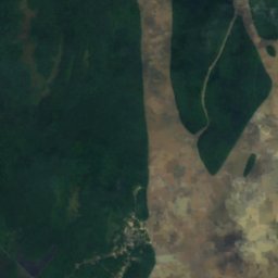
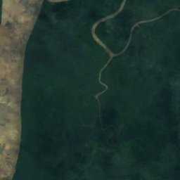
Satellite: Sentinel-2 cloudless 2016 by EOX IT Services GmbH · CC BY 4.0 · Contains modified Copernicus Sentinel data 2016
Aroeaba Tabbetje
Albina, Marowijne District
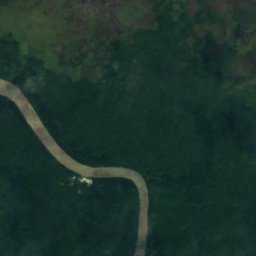
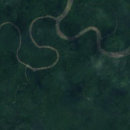
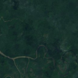
Satellite: Sentinel-2 cloudless 2016 by EOX IT Services GmbH · CC BY 4.0 · Contains modified Copernicus Sentinel data 2016
Arouaba Noord
Albina, Marowijne District
19 m
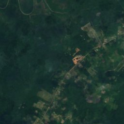
Satellite: Sentinel-2 cloudless 2016 by EOX IT Services GmbH · CC BY 4.0 · Contains modified Copernicus Sentinel data 2016
Arouaba Oost
Albina, Marowijne District
Rivers
Rivers of Suriname

Photo: Benutzer:Brokopondo · Public domain · Wikimedia CommonsReport this photo · linked, not stored
Suriname River
Meerzorg, Commewijne District


Photo: Brokopondo at German Wikipedia · Public domain · Wikimedia CommonsReport this photo · linked, not stored
Commewijne River
Nieuw Amsterdam, Commewijne District
3 m


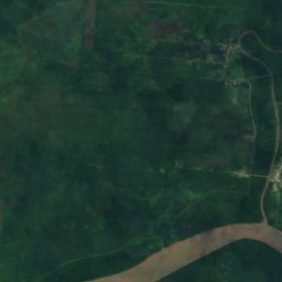
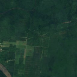
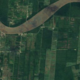
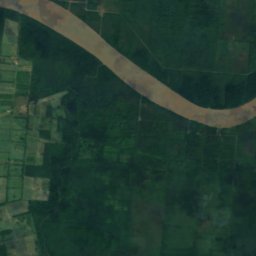
Satellite: Sentinel-2 cloudless 2016 by EOX IT Services GmbH · CC BY 4.0 · Contains modified Copernicus Sentinel data 2016
Cottica River
Alliance, Commewijne District
14 m
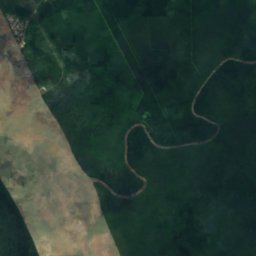
Satellite: Sentinel-2 cloudless 2016 by EOX IT Services GmbH · CC BY 4.0 · Contains modified Copernicus Sentinel data 2016
Coesewijne Rivier
Calcutta, Saramacca District
1 m