Skip to content
Destinations
Weather & climate
Nature
Outdoors
Culture
Events
Sky & live
Nile
Photo: © Vyacheslav Argenberg · CC BY 4.0 · Wikimedia Commons
NileReport this photo · linked, not stored
Blue Nile
Photo: A.Savin · FAL · Wikimedia Commons
Blue NileReport this photo · linked, not stored
Blue Nile
Tuti Island
Photo: NASA · Public domain · Wikimedia Commons
Tuti IslandReport this photo · linked, not stored
Tuti Island
RiverOmdurman, Khartoum

Nile

RiverBest Jan–Feb · Dec
Elevation–above sea level
Length6,650 kmsource to mouth
Nearest townOmdurman3.0 km
15.64° N, 32.51° EElevation 0 mUTC+2 · Central Africa Time
When to goOmdurman · weather score
JanFebMarAprMayJunJulAugSepOctNovDec56October
Best timeJan–Feb · Dec
October: high / low38° / 25°
River

Nile in brief

Nile is a river in Omdurman, Khartoum, Sudan — major river in northeastern Africa.

The nearest town in the atlas is Omdurman, 3.0 km to the W, where the weather is best in January, February and December.

Nile is 6,650 km long.

Omdurman: weather and travel guide

Weather nearby now

Forecast for Omdurman
40°
Partly cloudy now
Wind12 km/h
Humidity14%
Cloud cover59%
Today
22 Oct
39°
27°
Fri
23 Oct
39°
26°
Sat
24 Oct
39°
26°
Sun
25 Oct
39°
25°
Mon
26 Oct
39°
25°

Model run 00:00 UTCRefreshed several times a day

The course of the river

As mapped in OpenStreetMap, with the towns of the atlas along its banks.
1234567
  1. 1Ad-Damir354 m
  2. 2Al Dabbah242 m
  3. 3Dongola226 m
  4. 4Argo224 m
  5. 5Abu Simbel189 m
  6. 6Aswan99 m
  7. 7Daraw96 m
sourcemouth (or where the mapped line leaves the country)
When to go

The best months around Nile

Climate of Omdurman

Month score in Omdurman

Comfort, dry days and sunshine · out of 100
Map

Nile from above

Nature nearbyAll of Sudan
Photo: A.Savin · FAL · Wikimedia CommonsReport this photo · linked, not stored
Blue NileRiver1.9 kmSBlue Nile
Photo: NASA · Public domain · Wikimedia CommonsReport this photo · linked, not stored
Tuti IslandIsland2.3 kmSTuti Island
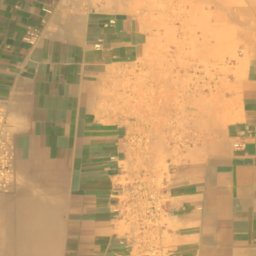
Satellite: Sentinel-2 cloudless 2016 by EOX IT Services GmbH · CC BY 4.0 · Contains modified Copernicus Sentinel data 2016
Wadi SeidnaRiver21 kmNWadi Seidna
Stay nearby

Towns close by

Omdurman
Photo: عاصم الرشيد التوم · CC BY-SA 3.0 · Wikimedia CommonsReport this photo · linked, not stored

Omdurman

Khartoum · 3.0 km W
38°Oct high
1wet day
56score
Omdurman
Khartoum North
Photo: Bertramz · CC BY 3.0 · Wikimedia CommonsReport this photo · linked, not stored

Khartoum North

Khartoum · 3.3 km E
38°Oct high
1wet day
55score
Khartoum North
Khartoum
Photo: Arwa51o · CC BY-SA 4.0 · Wikimedia CommonsReport this photo · linked, not stored

Khartoum

Khartoum · 10 km S
38°Oct high
1wet day
55score
Khartoum
Around here

Omdurman and around

Omdurman
Photo: عاصم الرشيد التوم · CC BY-SA 3.0 · Wikimedia CommonsReport this photo · linked, not stored

Omdurman

Khartoum · Sudan
Jan–Feb · Decbest months
38°July high
391 maltitude
Omdurman

Nature

Blue Nile
Photo: A.Savin · FAL · Wikimedia CommonsReport this photo · linked, not stored
3.5 km SE

Blue Nile

River · 1,786 m
Blue Nile
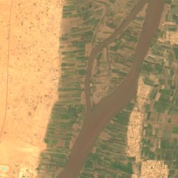
Satellite: Sentinel-2 cloudless 2016 by EOX IT Services GmbH · CC BY 4.0 · Contains modified Copernicus Sentinel data 2016
21 km N

Wadi Seidna

River
Wadi Seidna
Tuti Island
Photo: NASA · Public domain · Wikimedia CommonsReport this photo · linked, not stored
4.1 km SE

Tuti Island

Island
Tuti Island

Museums

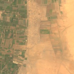
Satellite: Sentinel-2 cloudless 2016 by EOX IT Services GmbH · CC BY 4.0 · Contains modified Copernicus Sentinel data 2016
5.4 km SE

National Museum of Sudan

1971
National Museum of Sudan
Satellite: Sentinel-2 cloudless 2016 by EOX IT Services GmbH · CC BY 4.0 · Contains modified Copernicus Sentinel data 2016
7.3 km SE

Ethnological Museum of Khartoum

Ethnographic museum
Ethnological Museum of Khartoum
Satellite: Sentinel-2 cloudless 2016 by EOX IT Services GmbH · CC BY 4.0 · Contains modified Copernicus Sentinel data 2016
7.5 km SE

متحف التاريخ الطبيعي السودان

1933
متحف التاريخ الطبيعي السودان