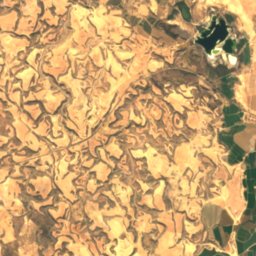
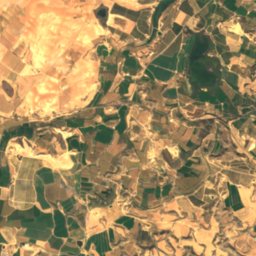
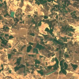
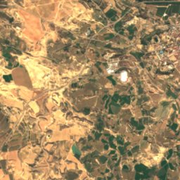
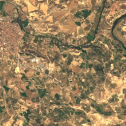
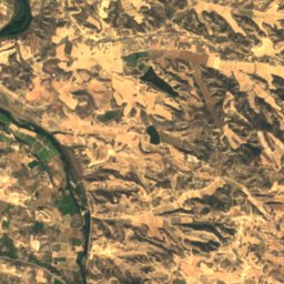
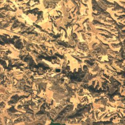
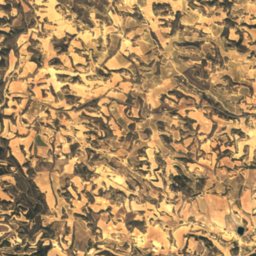
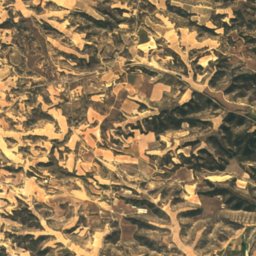
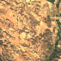
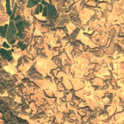
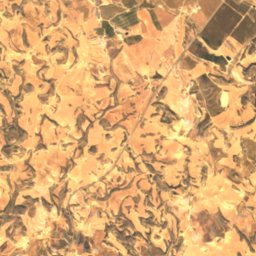
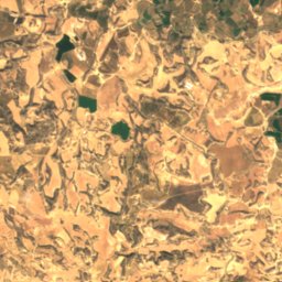
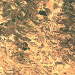
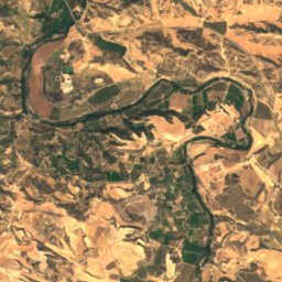
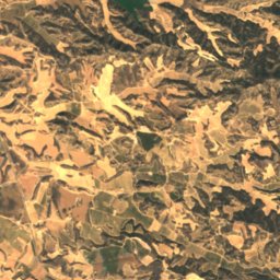
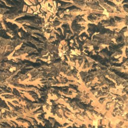
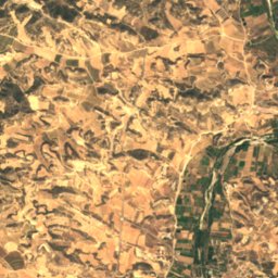
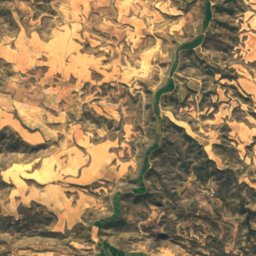
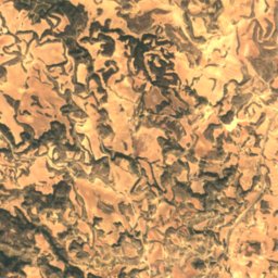
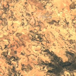
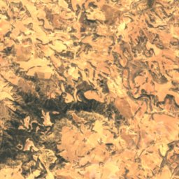
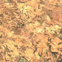
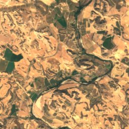
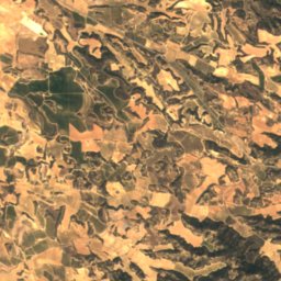
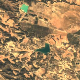
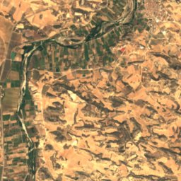
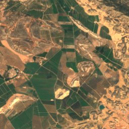
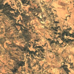
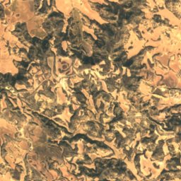
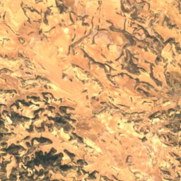
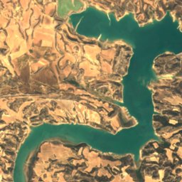
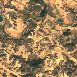
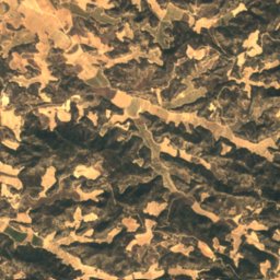
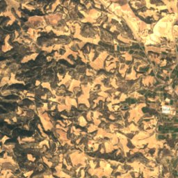
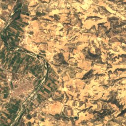
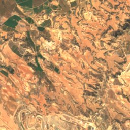
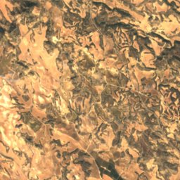
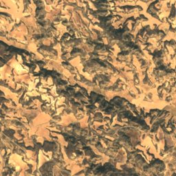
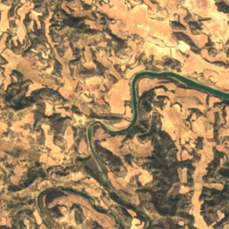
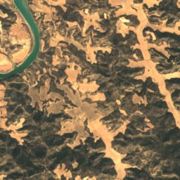
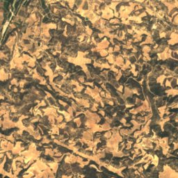
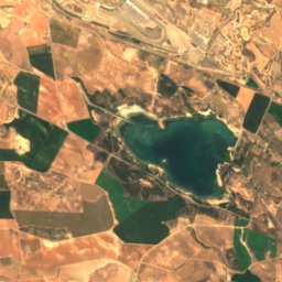
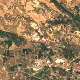
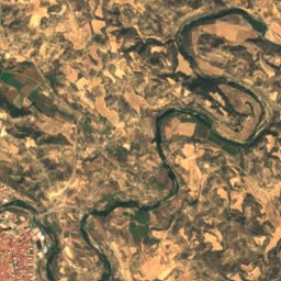
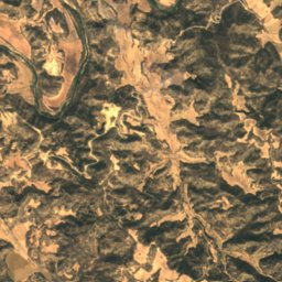
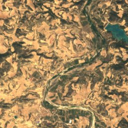
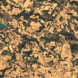
Satellite: Sentinel-2 cloudless 2016 by EOX IT Services GmbH · CC BY 4.0 · Contains modified Copernicus Sentinel data 2016

Photo: Clemenxarles · CC BY-SA 3.0 es · Wikimedia Commons
Abrigo del Plano del PulidoReport this photo · linked, not stored
Abrigo del Plano del PulidoAbrigo del Plano del PulidoReport this photo · linked, not stored

Photo: Juan Carlos Gil · CC BY-SA 3.0 es · Wikimedia Commons
Val del Charco del Agua AmargaReport this photo · linked, not stored
Val del Charco del Agua AmargaVal del Charco del Agua AmargaReport this photo · linked, not stored
CaveCaspe, Aragon
Valcomuna
CaveBest Mar–Apr · Oct
Elevation–above sea level
Inside17°Call year
Nearest townCaspe12 km
41.13° N, 0.02° WUTC+1 · Central European Standard Time
When to goCaspe · weather score
Best timeMar–Apr · Oct
October: high / low24° / 12°
Cave
Valcomuna in brief
Valcomuna is a cave in Caspe, Aragon, Spain.
The nearest town is Caspe, 12 km to the N, where the weather is best in March, April and October.
Inside, a cave stays close to the average yearly air temperature outside: about 17°C all year.
Weather nearby now
Forecast for Caspe25°
Cloudy now
Today
27 Oct
26°
11°
Wed
28 Oct
23°
14°
Thu
29 Oct
23°
9°
Fri
30 Oct
22°
11°
Sat
31 Oct
22°
10°
Model run 00:00 UTCRefreshed several times a day
When to go
Climate of CaspeThe best months around Valcomuna
Month score in Caspe
Comfort, dry days and sunshine · out of 10056
Jan
73
Feb
85
Mar
81
Apr
79
May
61
Jun
51
Jul
54
Aug
68
Sep
84
Oct
77
Nov
57
Dec
Map
Valcomuna from above
Nature nearbyAll of Spain
Satellite: Sentinel-2 cloudless 2016 by EOX IT Services GmbH · CC BY 4.0 · Contains modified Copernicus Sentinel data 2016


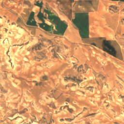
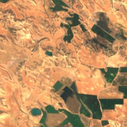
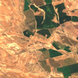
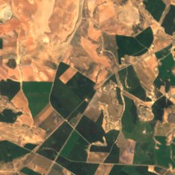
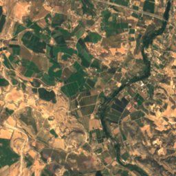
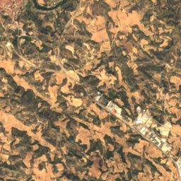
Satellite: Sentinel-2 cloudless 2016 by EOX IT Services GmbH · CC BY 4.0 · Contains modified Copernicus Sentinel data 2016
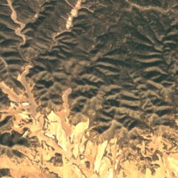
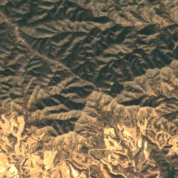
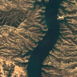
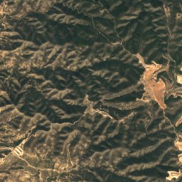
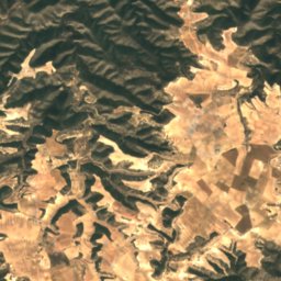
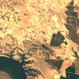
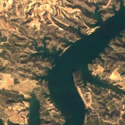
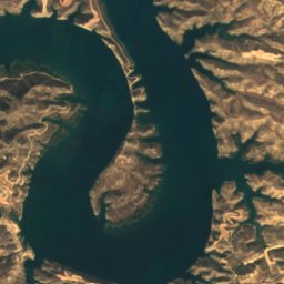
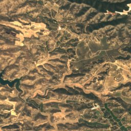
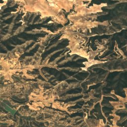
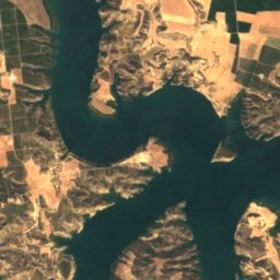
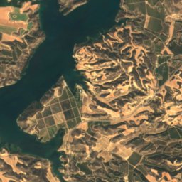
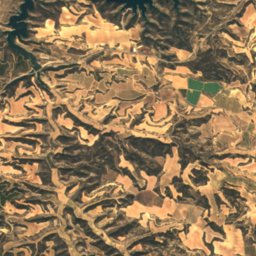
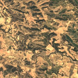
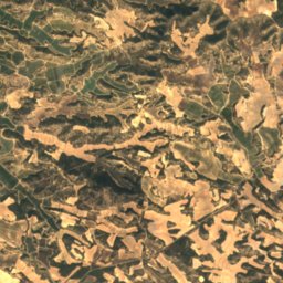
Satellite: Sentinel-2 cloudless 2016 by EOX IT Services GmbH · CC BY 4.0 · Contains modified Copernicus Sentinel data 2016
Satellite: Sentinel-2 cloudless 2016 by EOX IT Services GmbH · CC BY 4.0 · Contains modified Copernicus Sentinel data 2016
Summits nearbyMountains of Spain
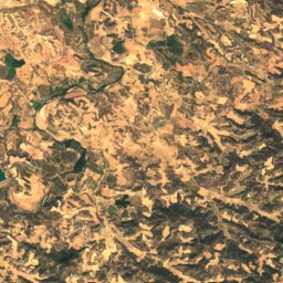
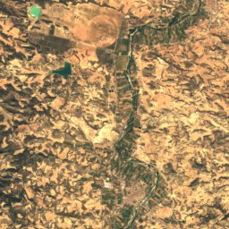
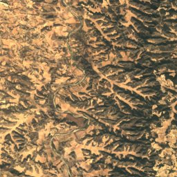
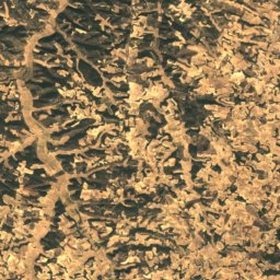
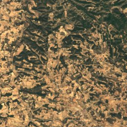
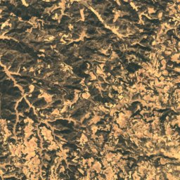
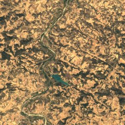
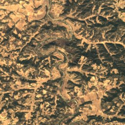
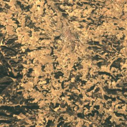
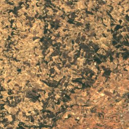
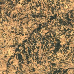
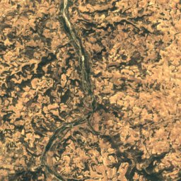
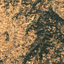
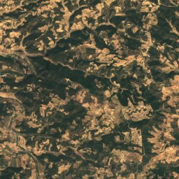
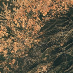
Satellite: Sentinel-2 cloudless 2016 by EOX IT Services GmbH · CC BY 4.0 · Contains modified Copernicus Sentinel data 2016
Satellite: Sentinel-2 cloudless 2016 by EOX IT Services GmbH · CC BY 4.0 · Contains modified Copernicus Sentinel data 2016
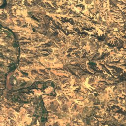
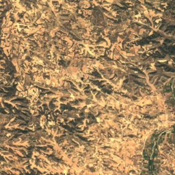
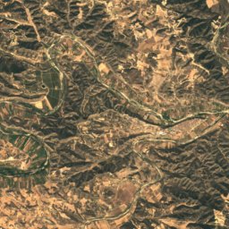
Satellite: Sentinel-2 cloudless 2016 by EOX IT Services GmbH · CC BY 4.0 · Contains modified Copernicus Sentinel data 2016
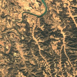
Satellite: Sentinel-2 cloudless 2016 by EOX IT Services GmbH · CC BY 4.0 · Contains modified Copernicus Sentinel data 2016
Satellite: Sentinel-2 cloudless 2016 by EOX IT Services GmbH · CC BY 4.0 · Contains modified Copernicus Sentinel data 2016
Stay nearby
Towns close by


Photo: José Antonio Bielsa Arbiol · CC BY-SA 4.0 · Wikimedia CommonsReport this photo · linked, not stored
Mazaleón
Aragon · 13 km SE
22°Oct high
7wet days
83score

Around here
Caspe and around
Nature
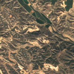
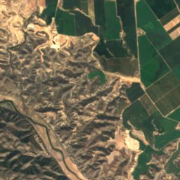
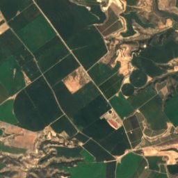
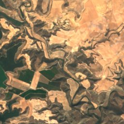
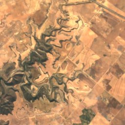
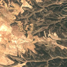
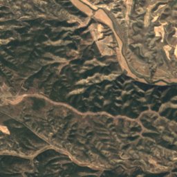
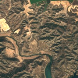
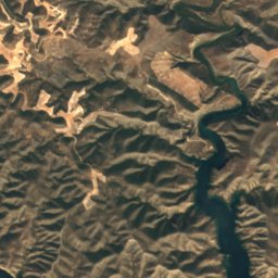
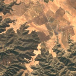
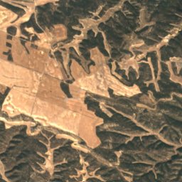
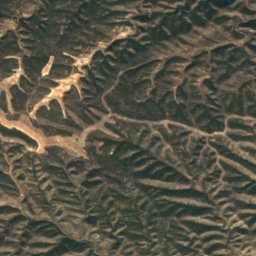
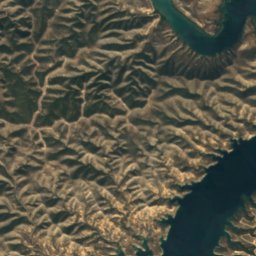
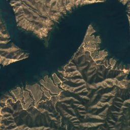
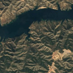
Satellite: Sentinel-2 cloudless 2016 by EOX IT Services GmbH · CC BY 4.0 · Contains modified Copernicus Sentinel data 2016
Reservoir of Mequinenza
Lake · 113 m

Mountains
Satellite: Sentinel-2 cloudless 2016 by EOX IT Services GmbH · CC BY 4.0 · Contains modified Copernicus Sentinel data 2016
Tossal de Mudèfer
526 m
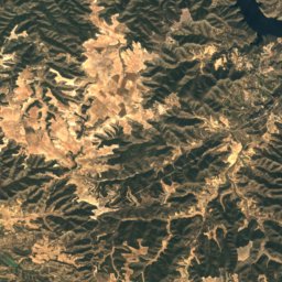
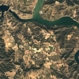
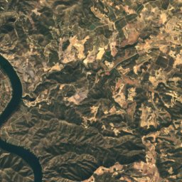
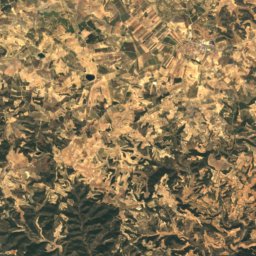
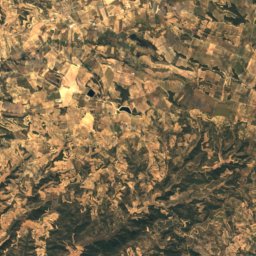
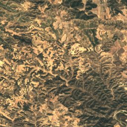
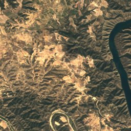
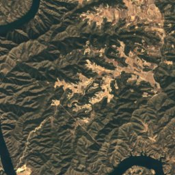
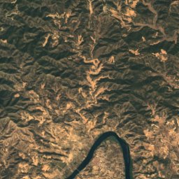
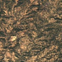
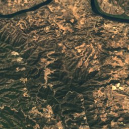
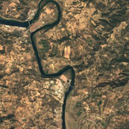
Satellite: Sentinel-2 cloudless 2016 by EOX IT Services GmbH · CC BY 4.0 · Contains modified Copernicus Sentinel data 2016
Puntal dels Escambrons
495 m
Satellite: Sentinel-2 cloudless 2016 by EOX IT Services GmbH · CC BY 4.0 · Contains modified Copernicus Sentinel data 2016
Turó de les Comes dels Horts
466 m
Heritage


Colegiata de Santa María la Mayor, Caspe
bien de interés cultural

Photo: José Alfonso Solera · CC BY-SA 3.0 es · Wikimedia CommonsReport this photo · linked, not stored
Casa Barberán
bien de interés cultural


