

Photo: Miguel Angel Masegosa Martínez · CC BY 2.0 · Wikimedia Commons
Charco del Cura ReservoirReport this photo · linked, not stored
Charco del Cura ReservoirCharco del Cura ReservoirReport this photo · linked, not stored

Photo: Carlos Delgado · CC BY-SA 3.0 · Wikimedia Commons
El Burguillo ReservoirReport this photo · linked, not stored
El Burguillo ReservoirEl Burguillo ReservoirReport this photo · linked, not stored

Photo: Miguel Angel Masegosa Martínez · CC BY 2.0 · Wikimedia Commons
Gaznata RiverReport this photo · linked, not stored
Gaznata RiverGaznata RiverReport this photo · linked, not stored

Photo: Nicolas Vigier · CC0 · Wikimedia Commons
San Juan ReservoirReport this photo · linked, not stored
San Juan ReservoirSan Juan ReservoirReport this photo · linked, not stored
RiverSanta María del Tiétar, Castille and León
Tiétar
RiverBest May · Sep–Oct
Elevation–above sea level
Length170 kmsource to mouth
Nearest townSanta María del Tiétar2.6 km
40.31° N, 4.52° WUTC+2 · Central European Summer Time
When to goSanta María del Tiétar · weather score
Best timeMay · Sep–Oct
October: high / low21° / 10°
River
Tiétar in brief
Tiétar is a river in Santa María del Tiétar, Castille and León, Spain.
The nearest town in the atlas is Santa María del Tiétar, 2.6 km to the W, where the weather is best in May, September and October.
Tiétar is 170 km long.
Weather nearby now
Forecast for Santa María del Tiétar14°
Clear now
Today
22 Oct
20°
7°
Fri
23 Oct
21°
8°
Sat
24 Oct
20°
6°
Sun
25 Oct
22°
10°
Mon
26 Oct
25°
10°
Model run 00:00 UTCRefreshed several times a day
The course of the river
As mapped in OpenStreetMap, with the towns of the atlas along its banks.- 1Buenaventura432 m
sourcemouth (or where the mapped line leaves the country)
When to go
Climate of Santa María del TiétarThe best months around Tiétar
Month score in Santa María del Tiétar
Comfort, dry days and sunshine · out of 10041
Jan
48
Feb
62
Mar
73
Apr
79
May
72
Jun
61
Jul
60
Aug
76
Sep
77
Oct
54
Nov
43
Dec
Map
Tiétar from above
Nature nearbyAll of Spain

Photo: Miguel Angel Masegosa Martínez · CC BY 2.0 · Wikimedia CommonsReport this photo · linked, not stored


Photo: Miguel Angel Masegosa Martínez · CC BY 2.0 · Wikimedia CommonsReport this photo · linked, not stored


Summits nearbyMountains of Spain

Photo: Miguel Angel Masegosa Martínez · CC BY 2.0 · Wikimedia CommonsReport this photo · linked, not stored

Photo: Miguel Angel Masegosa Martínez · CC BY 2.0 · Wikimedia CommonsReport this photo · linked, not stored

Photo: Miguel Angel Masegosa Martínez · CC BY 2.0 · Wikimedia CommonsReport this photo · linked, not stored

Photo: Miguel Angel Masegosa Martínez · CC BY 2.0 · Wikimedia CommonsReport this photo · linked, not stored
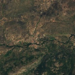
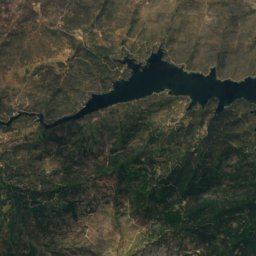
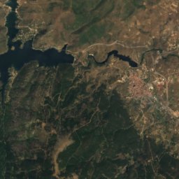
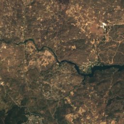
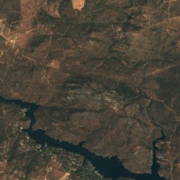
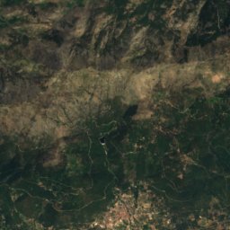
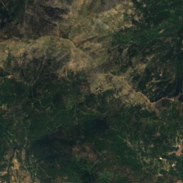
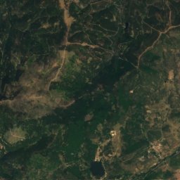
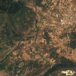
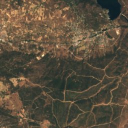
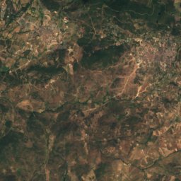
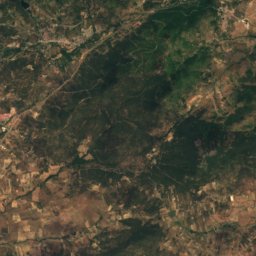
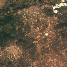
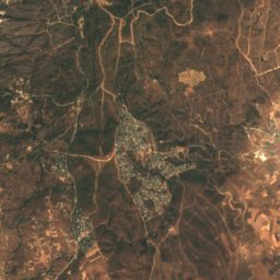
Satellite: Sentinel-2 cloudless 2016 by EOX IT Services GmbH · CC BY 4.0 · Contains modified Copernicus Sentinel data 2016
Stay nearby
Towns close by


Around here
Santa María del Tiétar and around

Santa María del Tiétar
Castille and León · Spain
May · Sep–Octbest months
33°July high
695 maltitude
Nature

Mountains
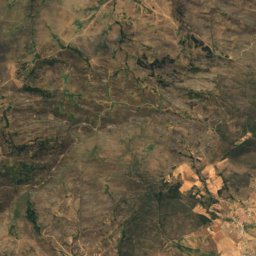
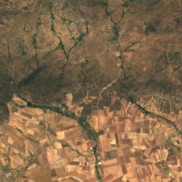
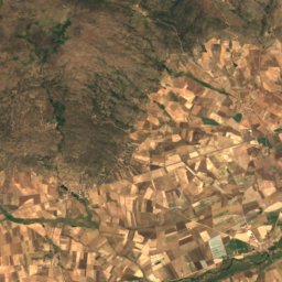
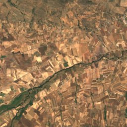
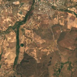
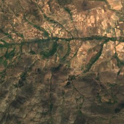
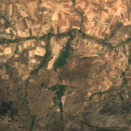
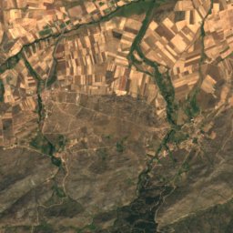
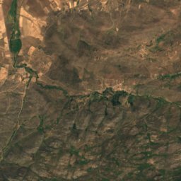
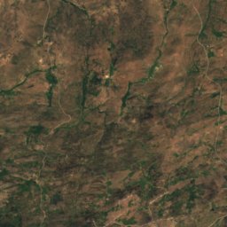
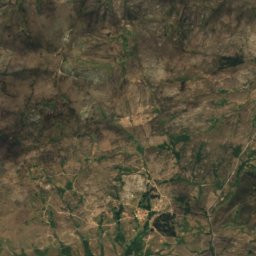
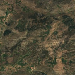
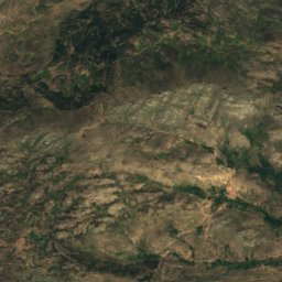
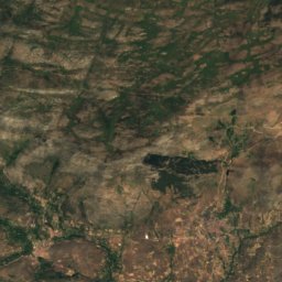
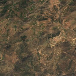
Satellite: Sentinel-2 cloudless 2016 by EOX IT Services GmbH · CC BY 4.0 · Contains modified Copernicus Sentinel data 2016
Pico Zapatero
2,158 m · Sistema Central


Photo: Miguel Angel Masegosa Martínez · CC BY 2.0 · Wikimedia CommonsReport this photo · linked, not stored
Pico de Lanchamala
1,994 m · Sierra de Gredos
Heritage

Monastery of San Jerónimo de Guisando (El Tiemblo)
Red List of Endangered Heritage item · 1400

Photo: Dirección General de Turismo. Consejería de Economía e Innovación Tecnológica. C · CC BY 3.0 es · Wikimedia CommonsReport this photo · linked, not stored
Palacio de Villena
bien de interés cultural

Museums


Satellite: Sentinel-2 cloudless 2016 by EOX IT Services GmbH · CC BY 4.0 · Contains modified Copernicus Sentinel data 2016
Museo Histórico Castillo de La Adrada. Centro de Interpretación Histórica Valle del Tiétar.
Art museum