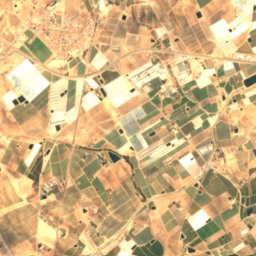
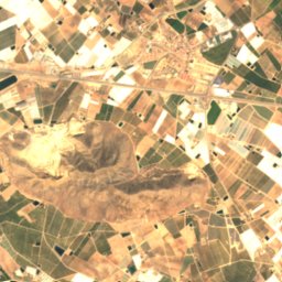
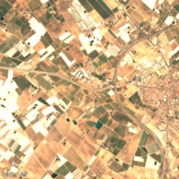
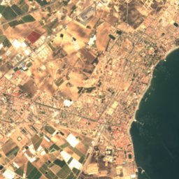
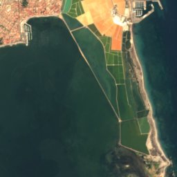



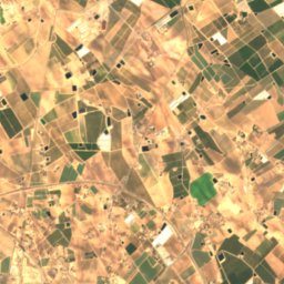
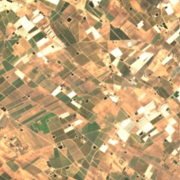
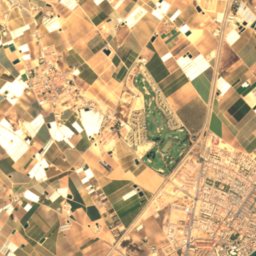
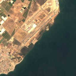
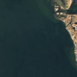
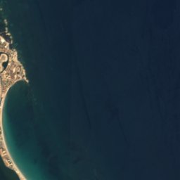








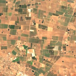
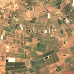
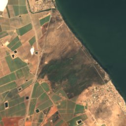
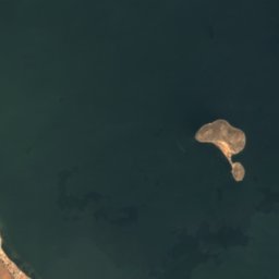
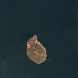
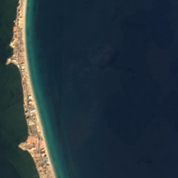


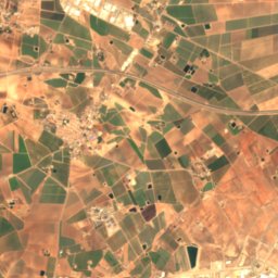
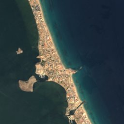


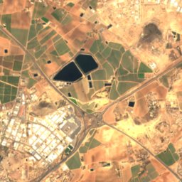
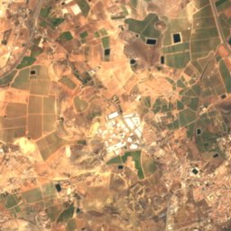
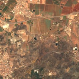
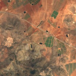
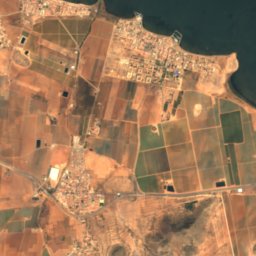
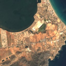
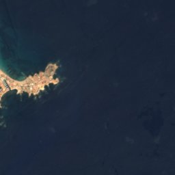


Satellite: Sentinel-2 cloudless 2016 by EOX IT Services GmbH · CC BY 4.0 · Contains modified Copernicus Sentinel data 2016

Photo: Ryan Hodnett · CC BY-SA 4.0 · Wikimedia Commons
Cabezo de la FuenteReport this photo · linked, not stored
Cabezo de la FuenteCabezo de la FuenteReport this photo · linked, not stored

Photo: Nanosanchez · CC BY-SA 3.0 · Wikimedia Commons
Cabezo de San GinésReport this photo · linked, not stored
Cabezo de San GinésCabezo de San GinésReport this photo · linked, not stored
 El Carmolí
BeachLa Manga del Mar Menor, Murcia
Snipe
BeachBest May–Jul
Elevation–above sea level
Water qualityExcellentEU · 2025
Nearest townLa Manga del Mar Menor5.1 km
37.68° N, 0.73° WUTC+1 · Central European Standard Time
When to goLa Manga del Mar Menor · weather score
Best timeMay–Jul
October: high / low24° / 18°
Beach
Snipe in brief
Snipe is a beach in La Manga del Mar Menor, Murcia, Spain.
The nearest town is La Manga del Mar Menor, 5.1 km to the S, where the weather is best in May, June and July.
Bathing water quality (EU, 2025): excellent.
The sea is warmest in August, at about 26°C.
Weather nearby now
Forecast for La Manga del Mar Menor22°
Cloudy now
Today
27 Oct
24°
17°
Wed
28 Oct
24°
18°
1 mm
Thu
29 Oct
24°
19°
Fri
30 Oct
24°
17°
Sat
31 Oct
23°
19°
4 mm
Model run 00:00 UTCRefreshed several times a day
Sea and air through the year
Sea surface temperature off the coast and the average daily high in La Manga del Mar Menor, month by month.Jan15°16°
Feb14°16°
Mar15°17°
Apr16°19°
May18°22°
Jun22°25°
Jul24°28°
Aug26°28°
Sep25°26°
Oct22°24°
Nov19°20°
Dec16°17°
seaair, daily high
When to go
Climate of La Manga del Mar MenorThe best months around Snipe
Month score in La Manga del Mar Menor
Comfort, dry days and sunshine · out of 10079
Jan
79
Feb
83
Mar
86
Apr
91
May
95
Jun
88
Jul
80
Aug
79
Sep
83
Oct
82
Nov
83
Dec
Map
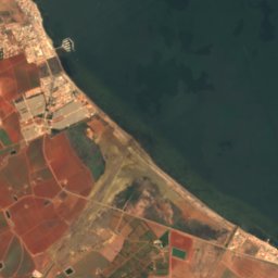
Snipe from above
Nature nearbyAll of Spain
Satellite: Sentinel-2 cloudless 2016 by EOX IT Services GmbH · CC BY 4.0 · Contains modified Copernicus Sentinel data 2016
Satellite: Sentinel-2 cloudless 2016 by EOX IT Services GmbH · CC BY 4.0 · Contains modified Copernicus Sentinel data 2016
Satellite: Sentinel-2 cloudless 2016 by EOX IT Services GmbH · CC BY 4.0 · Contains modified Copernicus Sentinel data 2016
Satellite: Sentinel-2 cloudless 2016 by EOX IT Services GmbH · CC BY 4.0 · Contains modified Copernicus Sentinel data 2016
Satellite: Sentinel-2 cloudless 2016 by EOX IT Services GmbH · CC BY 4.0 · Contains modified Copernicus Sentinel data 2016
Summits nearbyMountains of Spain


Stay nearby
Towns close by

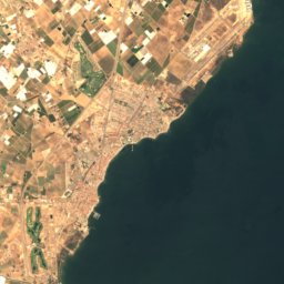
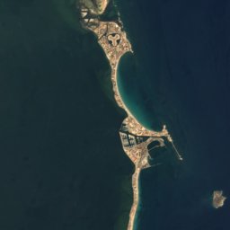

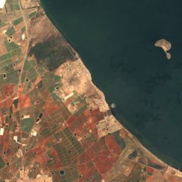
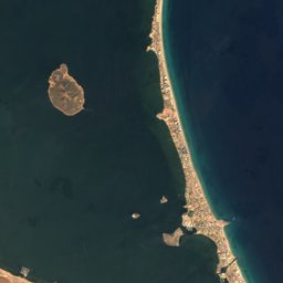
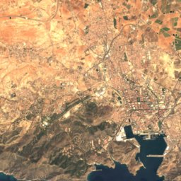
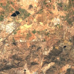
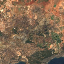
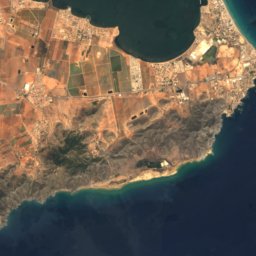
Satellite: Sentinel-2 cloudless 2016 by EOX IT Services GmbH · CC BY 4.0 · Contains modified Copernicus Sentinel data 2016
Los Nietos
Murcia · 6.0 km SW
24°Oct high
7wet days
83score



Satellite: Sentinel-2 cloudless 2016 by EOX IT Services GmbH · CC BY 4.0 · Contains modified Copernicus Sentinel data 2016
Playa Honda
Murcia · 6.3 km S
24°Oct high
7wet days
83score

Around here
La Manga del Mar Menor and around
Nature
Satellite: Sentinel-2 cloudless 2016 by EOX IT Services GmbH · CC BY 4.0 · Contains modified Copernicus Sentinel data 2016
Cueva Victoria
Cave

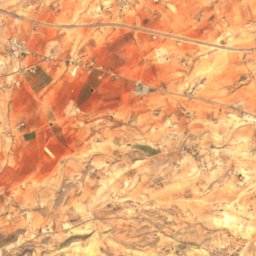
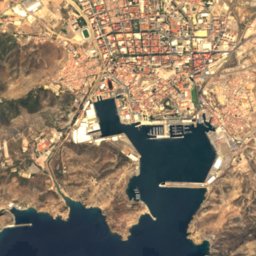
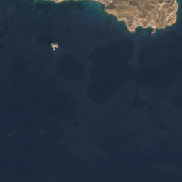
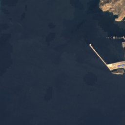
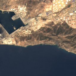
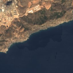
Satellite: Sentinel-2 cloudless 2016 by EOX IT Services GmbH · CC BY 4.0 · Contains modified Copernicus Sentinel data 2016
Cueva de los Aguilones
Cave
Mountains
Heritage





Satellite: Sentinel-2 cloudless 2016 by EOX IT Services GmbH · CC BY 4.0 · Contains modified Copernicus Sentinel data 2016
Marchamalo salt flats
site of community importance

Museums




Satellite: Sentinel-2 cloudless 2016 by EOX IT Services GmbH · CC BY 4.0 · Contains modified Copernicus Sentinel data 2016
Centro de Documentación y Exposición de Cabo de Palos
Visitor center


