
Photo: Pacopac · CC BY-SA 4.0 · Wikimedia Commons
Rambla de PoioReport this photo · linked, not stored
Rambla de PoioReport this photo · linked, not stored

Photo: 19Tarrestnom65 · CC BY-SA 4.0 · Wikimedia Commons
Pinedo Beach, ValenciaReport this photo · linked, not stored
Pinedo Beach, ValenciaPinedo Beach, ValenciaReport this photo · linked, not stored
 La Devesa

Photo: B25es · CC BY-SA 3.0 · Wikimedia Commons
serra PerenxisaReport this photo · linked, not stored
serra Perenxisaserra PerenxisaReport this photo · linked, not stored

Photo: Enrique Íñiguez Rodríguez (Qoan) · CC BY-SA 3.0 · Wikimedia Commons
Muntanyeta dels SantsReport this photo · linked, not stored
Muntanyeta dels SantsMuntanyeta dels SantsReport this photo · linked, not stored
RiverCatarroja, Valencia
Rambla de Poio
River149 m elevationBest Feb–Mar · May
Elevation149 mabove sea level
Length44 kmsource to mouth
Nearest townCatarroja4.4 km
39.38° N, 0.36° WElevation 149 mUTC+2 · Central European Summer Time
When to goCatarroja · weather score
Best timeFeb–Mar · May
October: high / low25° / 15°
River
Rambla de Poio in brief
Rambla de Poio is a river in Catarroja, Valencia, Spain.
It lies at 149 m above sea level and covers about 462 km².
The nearest town in the atlas is Catarroja, 4.4 km to the NW, where the weather is best in February, March and May.
Rambla de Poio is 44 km long.
Weather nearby now
Forecast for Catarroja22°
Sunny now
Today
22 Oct
24°
13°
Fri
23 Oct
26°
13°
Sat
24 Oct
24°
12°
Sun
25 Oct
26°
12°
Mon
26 Oct
26°
12°
Model run 00:00 UTCRefreshed several times a day
Map
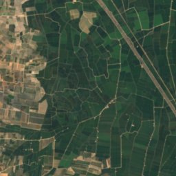
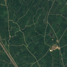
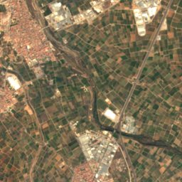
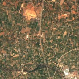
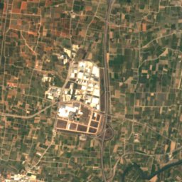
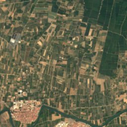
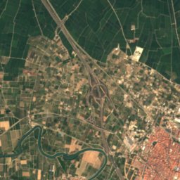
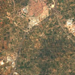
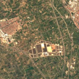
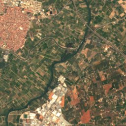
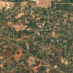
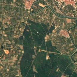
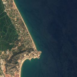
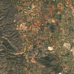
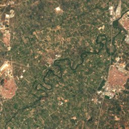
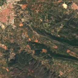
Rambla de Poio from above
Nature nearbyAll of Spain
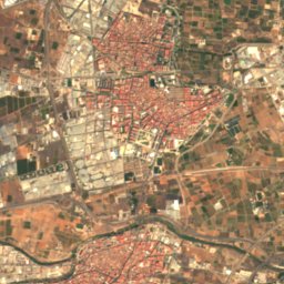
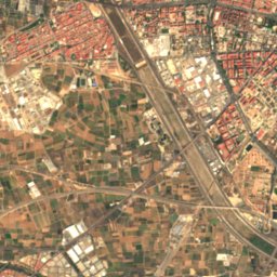
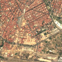
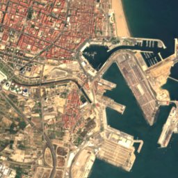
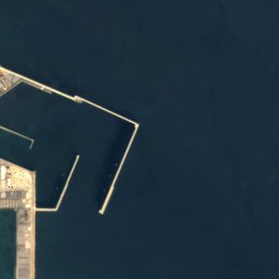
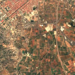
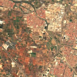
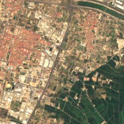
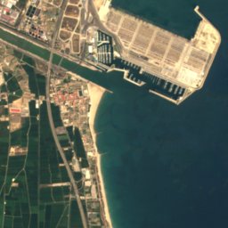

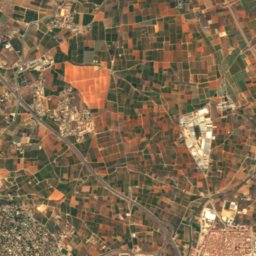
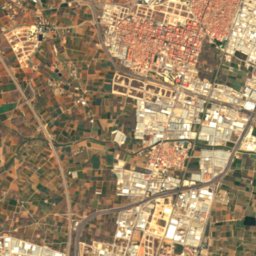
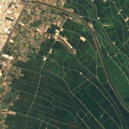
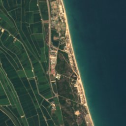

Satellite: Sentinel-2 cloudless 2016 by EOX IT Services GmbH · CC BY 4.0 · Contains modified Copernicus Sentinel data 2016


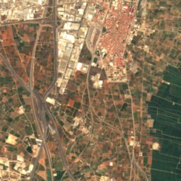
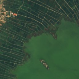
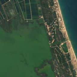
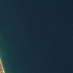

Satellite: Sentinel-2 cloudless 2016 by EOX IT Services GmbH · CC BY 4.0 · Contains modified Copernicus Sentinel data 2016


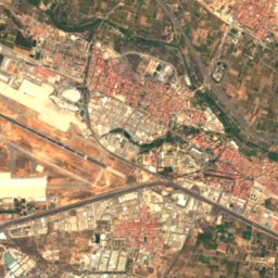
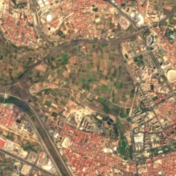
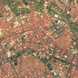
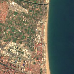

Satellite: Sentinel-2 cloudless 2016 by EOX IT Services GmbH · CC BY 4.0 · Contains modified Copernicus Sentinel data 2016
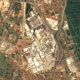
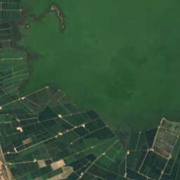
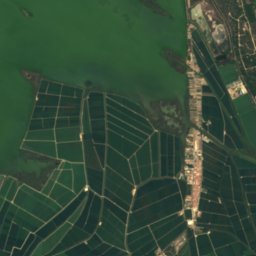
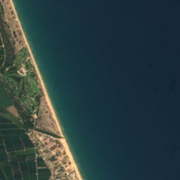

Satellite: Sentinel-2 cloudless 2016 by EOX IT Services GmbH · CC BY 4.0 · Contains modified Copernicus Sentinel data 2016
Summits nearbyMountains of Spain


Photo: Enrique Íñiguez Rodríguez (Qoan) · CC BY-SA 3.0 · Wikimedia CommonsReport this photo · linked, not stored
Stay nearby
Towns close by


Photo: Enrique Íñiguez Rodríguez (Qoan) · CC BY-SA 3.0 · Wikimedia CommonsReport this photo · linked, not stored
Lugar Nuevo de la Corona
Valencia · 4.8 km NW
25°Oct high
8wet days
80score

Photo: Enrique Íñiguez Rodríguez (Qoan) · CC BY-SA 3.0 · Wikimedia CommonsReport this photo · linked, not stored
Alfafar
Valencia · 4.8 km NW
25°Oct high
8wet days
80score

Around here
Catarroja and around
Nature
Satellite: Sentinel-2 cloudless 2016 by EOX IT Services GmbH · CC BY 4.0 · Contains modified Copernicus Sentinel data 2016
Turia
River

Photo: Enrique Íñiguez Rodríguez · CC BY-SA 3.0 · Wikimedia CommonsReport this photo · linked, not stored
Coves de la Torre
Cave
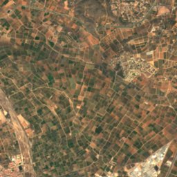
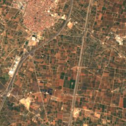
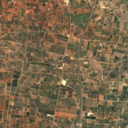
Satellite: Sentinel-2 cloudless 2016 by EOX IT Services GmbH · CC BY 4.0 · Contains modified Copernicus Sentinel data 2016
Magro River
River
Mountains


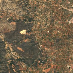
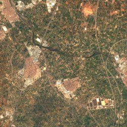
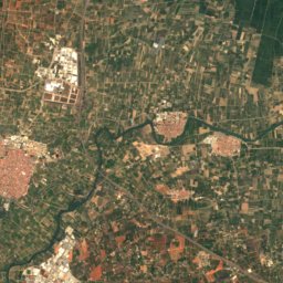
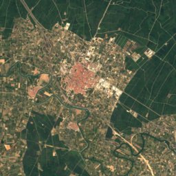
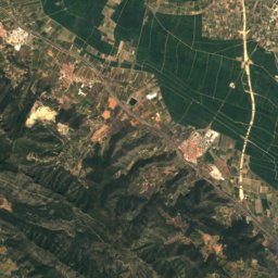
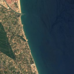
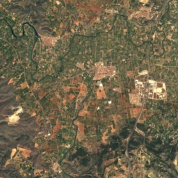
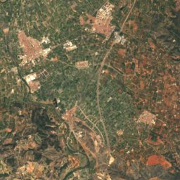
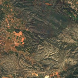
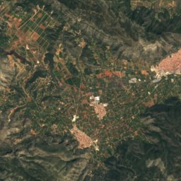
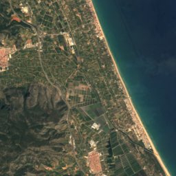
Satellite: Sentinel-2 cloudless 2016 by EOX IT Services GmbH · CC BY 4.0 · Contains modified Copernicus Sentinel data 2016
Serra de les Agulles
564 m
Heritage

Església de la Mare de Déu del Do d'Alfafar
Property of Local Relevance · 1800


Museums


Museu de les Ciències Príncipe Felipe
Science museum · 2000