

Photo: Victor Salvador Vilariño · CC BY-SA 4.0 · Wikimedia Commons
Laguna de BorobiaReport this photo · linked, not stored
Laguna de BorobiaLaguna de BorobiaReport this photo · linked, not stored

Photo: Miguel Ángel García. from Ólvega., España · CC BY 2.0 · Wikimedia Commons
Laguna de LorReport this photo · linked, not stored
Laguna de LorLaguna de LorReport this photo · linked, not stored

Photo: Miguel Ángel García. · CC BY 2.0 · Wikimedia Commons
Corona Alta, BeratónReport this photo · linked, not stored
Corona Alta, BeratónCorona Alta, BeratónReport this photo · linked, not stored
RiverVozmediano, Castille and León
Queiles
River880 m elevationBest Jun · Sep–Oct
Elevation880 mabove sea level
Length45 kmsource to mouth
Nearest townVozmediano0.5 km
41.84° N, 1.86° WElevation 880 mUTC+2 · Central European Summer Time
When to goVozmediano · weather score
Best timeJun · Sep–Oct
October: high / low19° / 7°
River
Queiles in brief
Queiles is a river in Vozmediano, Castille and León, Spain.
It lies at 880 m above sea level.
The nearest town is Vozmediano, 0.5 km to the NE, where the weather is best in June, September and October.
Queiles is 45 km long.
Weather nearby now
Forecast for Vozmediano15°
Cloudy now
Today
24 Oct
17°
5°
Sun
25 Oct
20°
7°
Mon
26 Oct
23°
10°
Tue
27 Oct
23°
10°
Wed
28 Oct
18°
9°
Model run 00:00 UTCRefreshed several times a day
The course of the river
As mapped in OpenStreetMap, with the towns along its banks.- 1Vozmediano902 m
- 2Los Fayos559 m
- 3Santa Cruz de Moncayo621 m
- 4Torrellas574 m
- 5Tarazona493 m
- 6Vierlas456 m
- 7Tulebras375 m
- 8Monteagudo386 m
- 9Malon443 m
- 10Novallas428 m
sourcemouth (or where the mapped line leaves the country)
When to go
Climate of VozmedianoThe best months around Queiles
Month score in Vozmediano
Comfort, dry days and sunshine · out of 10032
Jan
37
Feb
48
Mar
61
Apr
74
May
81
Jun
75
Jul
75
Aug
86
Sep
79
Oct
45
Nov
37
Dec
Map
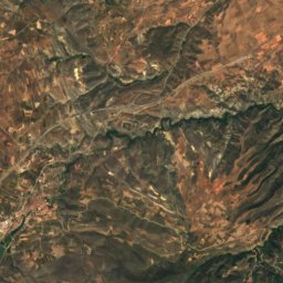
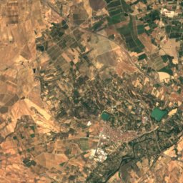
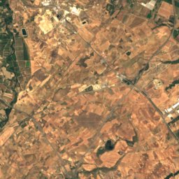
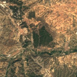
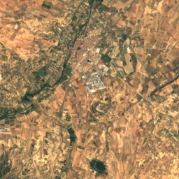
Queiles from above
Nature nearbyAll of Spain
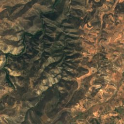
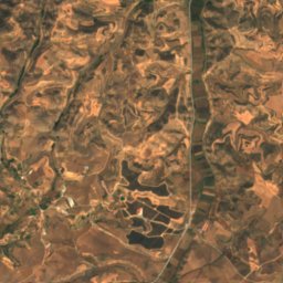
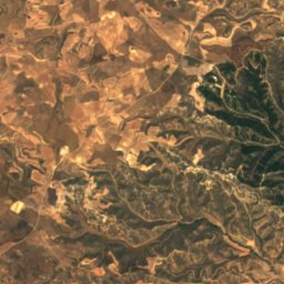
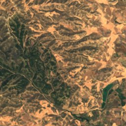
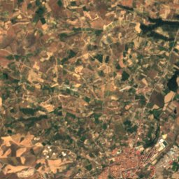
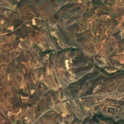
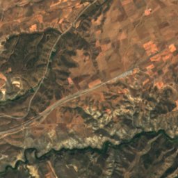
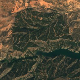
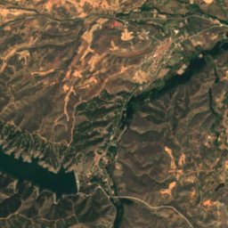
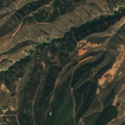
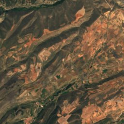
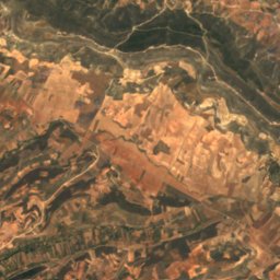
Satellite: Sentinel-2 cloudless 2016 by EOX IT Services GmbH · CC BY 4.0 · Contains modified Copernicus Sentinel data 2016

Photo: Victor Salvador Vilariño · CC BY-SA 4.0 · Wikimedia CommonsReport this photo · linked, not stored
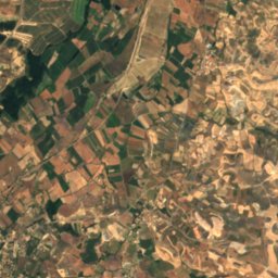
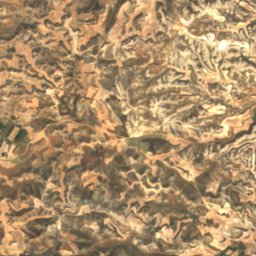
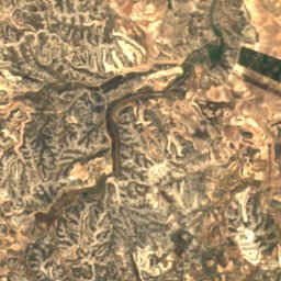
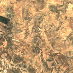
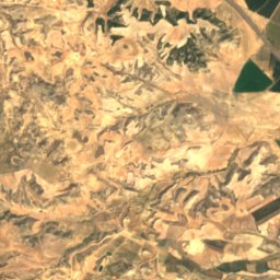
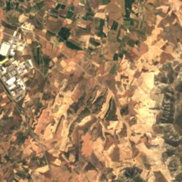
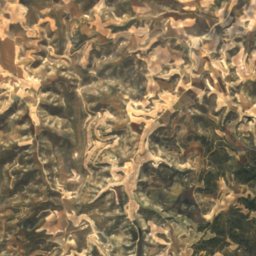
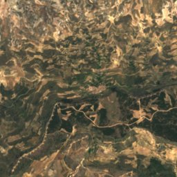
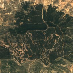
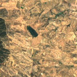
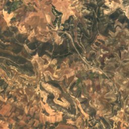
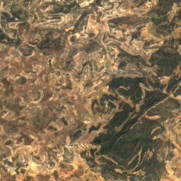
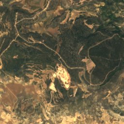
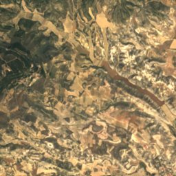
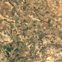
Satellite: Sentinel-2 cloudless 2016 by EOX IT Services GmbH · CC BY 4.0 · Contains modified Copernicus Sentinel data 2016

Photo: Miguel Ángel García. from Ólvega., España · CC BY 2.0 · Wikimedia CommonsReport this photo · linked, not stored
Summits nearbyMountains of Spain
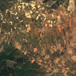
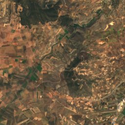
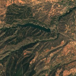
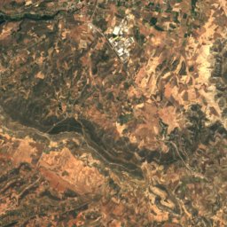
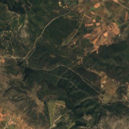
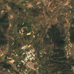
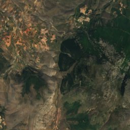
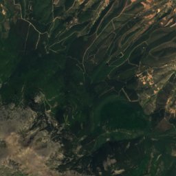
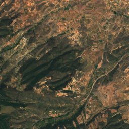
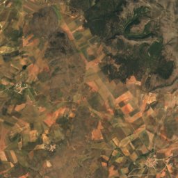
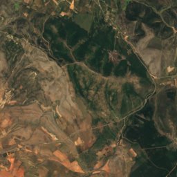
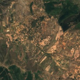
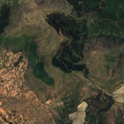
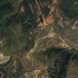
Satellite: Sentinel-2 cloudless 2016 by EOX IT Services GmbH · CC BY 4.0 · Contains modified Copernicus Sentinel data 2016

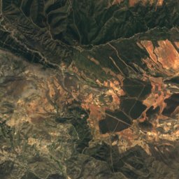
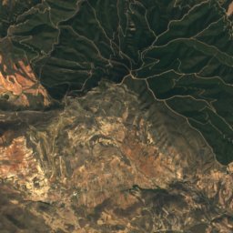
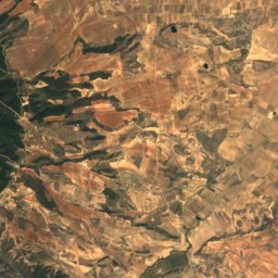
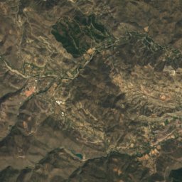
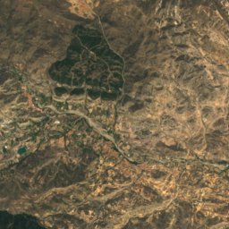
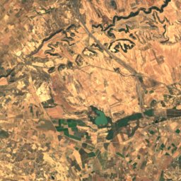
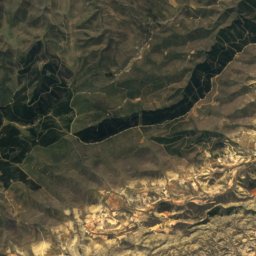
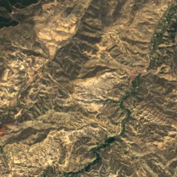
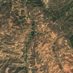
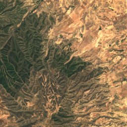
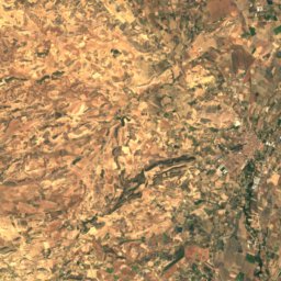
Satellite: Sentinel-2 cloudless 2016 by EOX IT Services GmbH · CC BY 4.0 · Contains modified Copernicus Sentinel data 2016
Stay nearby
Towns close by


San Martín de la Virgen de Moncayo
Aragon · 5.7 km E
19°Oct high
8wet days
80score


Around here
Vozmediano and around
Nature
Satellite: Sentinel-2 cloudless 2016 by EOX IT Services GmbH · CC BY 4.0 · Contains modified Copernicus Sentinel data 2016
El Val reservoir
Lake
Photo: Miguel Ángel García. from Ólvega., España · CC BY 2.0 · Wikimedia CommonsReport this photo · linked, not stored
Laguna de Lor
Lake · 363 m
Photo: Victor Salvador Vilariño · CC BY-SA 4.0 · Wikimedia CommonsReport this photo · linked, not stored
Laguna de Borobia
Lake · 1,118 m
Mountains
Satellite: Sentinel-2 cloudless 2016 by EOX IT Services GmbH · CC BY 4.0 · Contains modified Copernicus Sentinel data 2016
Moncayo
2,314 m · Moncayo mountain range

Heritage


Museums


Museo de Arte Sacro de Nuestra Señora de la Peña
Art museum