

Photo: Txapisotegi · CC BY-SA 4.0 · Wikimedia Commons
Charco de los ClicosReport this photo · linked, not stored
Charco de los ClicosCharco de los ClicosReport this photo · linked, not stored

Photo: MiljenkoSuljic · CC BY-SA 4.0 · Wikimedia Commons
Timanfaya National ParkReport this photo · linked, not stored
Timanfaya National ParkTimanfaya National ParkReport this photo · linked, not stored

Photo: Fry72 (Karel Frydrýšek) · CC BY-SA 4.0 · Wikimedia Commons
Montaña Blanca, TíasReport this photo · linked, not stored
Montaña Blanca, TíasMontaña Blanca, TíasReport this photo · linked, not stored

Photo: Yummifruitbat · CC BY-SA 2.5 · Wikimedia Commons
Hacha GrandeReport this photo · linked, not stored
Hacha GrandeHacha GrandeReport this photo · linked, not stored
BeachYaiza, Canary Islands
Paso
BeachBest Apr–Jun
Elevation–above sea level
Sea, warmest23°CSeptember
Nearest townYaiza7.7 km
29.00° N, 13.83° WElevation 0 mUTC+0 · Western European Standard Time
When to goYaiza · weather score
Best timeApr–Jun
October: high / low25° / 19°
Beach
Paso in brief
Paso is a beach in Yaiza, Canary Islands, Spain.
The nearest town is Yaiza, 7.7 km to the SE, where the weather is best in April, May and June.
The sea is warmest in September, at about 23°C.
Weather nearby now
Forecast for Yaiza20°
Cloudy now
Today
26 Oct
33°
18°
Tue
27 Oct
30°
20°
Wed
28 Oct
30°
18°
Thu
29 Oct
31°
16°
Fri
30 Oct
31°
17°
Model run 12:00 UTCRefreshed several times a day
Sea and air through the year
Sea surface temperature off the coast and the average daily high in Yaiza, month by month.Jan19°19°
Feb18°20°
Mar18°21°
Apr19°22°
May20°23°
Jun21°24°
Jul22°26°
Aug22°27°
Sep23°26°
Oct23°25°
Nov22°23°
Dec20°21°
seaair, daily high
When to go
Climate of YaizaThe best months around Paso
Month score in Yaiza
Comfort, dry days and sunshine · out of 10094
Jan
93
Feb
95
Mar
97
Apr
97
May
100
Jun
97
Jul
91
Aug
94
Sep
91
Oct
92
Nov
93
Dec
Map
Paso from above
Nature nearbyAll of Spain


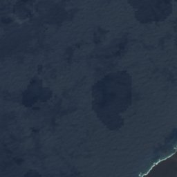
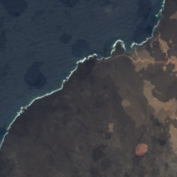



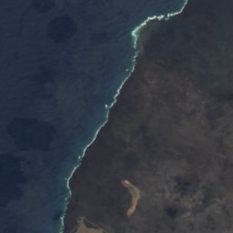



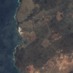
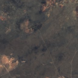
Satellite: Sentinel-2 cloudless 2016 by EOX IT Services GmbH · CC BY 4.0 · Contains modified Copernicus Sentinel data 2016




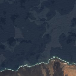
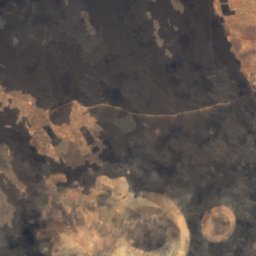
Satellite: Sentinel-2 cloudless 2016 by EOX IT Services GmbH · CC BY 4.0 · Contains modified Copernicus Sentinel data 2016



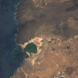
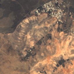
Satellite: Sentinel-2 cloudless 2016 by EOX IT Services GmbH · CC BY 4.0 · Contains modified Copernicus Sentinel data 2016


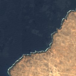
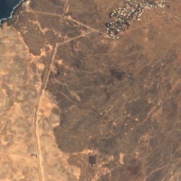
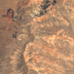
Satellite: Sentinel-2 cloudless 2016 by EOX IT Services GmbH · CC BY 4.0 · Contains modified Copernicus Sentinel data 2016
Summits nearbyMountains of Spain

Photo: Fry72 (Karel Frydrýšek) · CC BY-SA 4.0 · Wikimedia CommonsReport this photo · linked, not stored


Photo: Fry72 (Karel Frydrýšek) · CC BY-SA 4.0 · Wikimedia CommonsReport this photo · linked, not stored
Stay nearby
Towns close by

Photo: Luis Miguel Bugallo Sánchez (Lmbuga) · CC BY-SA 3.0 · Wikimedia CommonsReport this photo · linked, not stored
Yaiza
Canary Islands · 7.7 km SE
25°Oct high
3wet days
91score


Around here
Yaiza and around
Photo: Luis Miguel Bugallo Sánchez (Lmbuga) · CC BY-SA 3.0 · Wikimedia CommonsReport this photo · linked, not stored
Yaiza
Canary Islands · Spain
Apr–Junbest months
26°July high
168 maltitude
Nature


Mountains


Heritage


Casa del Mayor Guerra, San Bartolomé
bien de interés cultural


Satellite: Sentinel-2 cloudless 2016 by EOX IT Services GmbH · CC BY 4.0 · Contains modified Copernicus Sentinel data 2016
Hermitage of Los Dolores
bien de interés cultural
Museums

Photo: Photograph by Mike Peel (www.mikepeel.net). · CC BY-SA 4.0 · Wikimedia CommonsReport this photo · linked, not stored
Mancha Blanca Visitor Center
Visitor center



Satellite: Sentinel-2 cloudless 2016 by EOX IT Services GmbH · CC BY 4.0 · Contains modified Copernicus Sentinel data 2016
El Taller de Arte
Art museum




Satellite: Sentinel-2 cloudless 2016 by EOX IT Services GmbH · CC BY 4.0 · Contains modified Copernicus Sentinel data 2016
Museo Atlántico de Lanzarote
2016