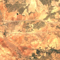
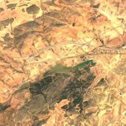
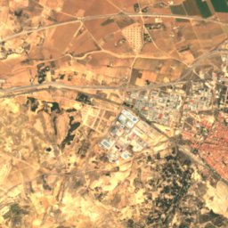
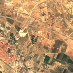
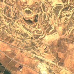
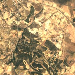
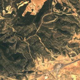
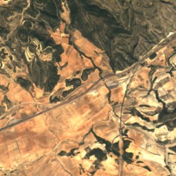
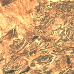
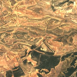
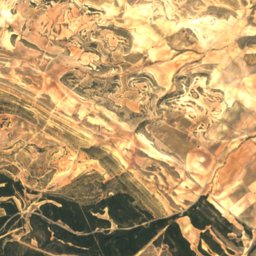
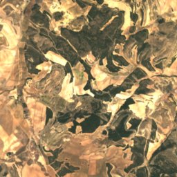
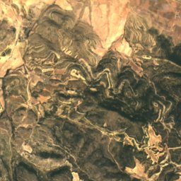
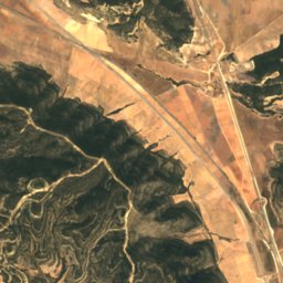
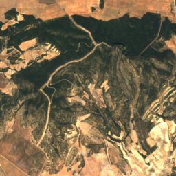
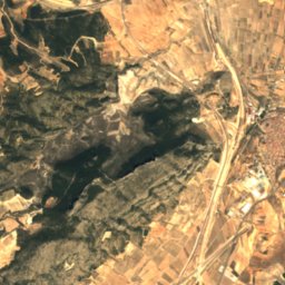
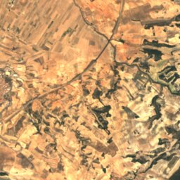
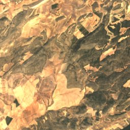
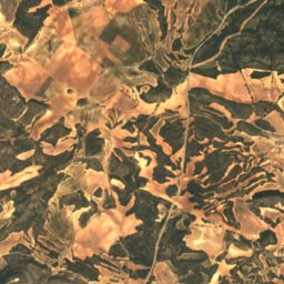
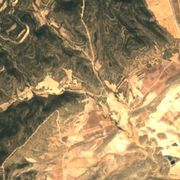
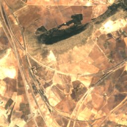
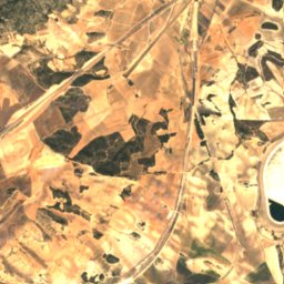
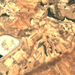
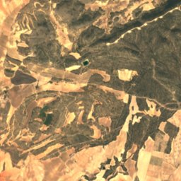
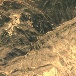
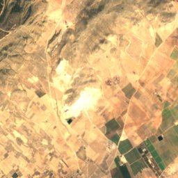
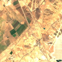
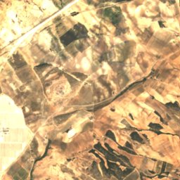
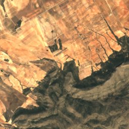
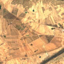
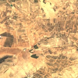
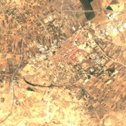
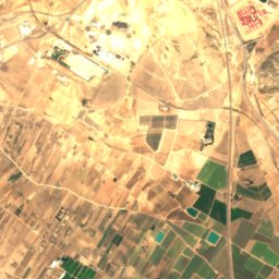
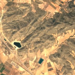
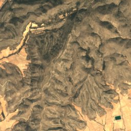
Satellite: Sentinel-2 cloudless 2016 by EOX IT Services GmbH · CC BY 4.0 · Contains modified Copernicus Sentinel data 2016

Photo: Enrique Íñiguez Rodríguez (Qoan) Credit information This work was created by Enr · CC BY-SA 4.0 · Wikimedia Commons
Laguna de VillenaReport this photo · linked, not stored
Laguna de VillenaLaguna de VillenaReport this photo · linked, not stored

Photo: 19Tarrestnom65 · CC BY-SA 4.0 · Wikimedia Commons
Laguna de San Benito, AyoraReport this photo · linked, not stored
Laguna de San Benito, AyoraLaguna de San Benito, AyoraReport this photo · linked, not stored

Photo: Enrique Íñiguez Rodríguez (Qoan) · CC BY-SA 3.0 · Wikimedia Commons
Sierra de la VillaReport this photo · linked, not stored
Sierra de la VillaSierra de la VillaReport this photo · linked, not stored
CaveCaudete, Castille-La Mancha
Olula
CaveBest Mar–May
Elevation–above sea level
Inside16°Call year
Nearest townCaudete7.7 km
38.77° N, 1.03° WUTC+1 · Central European Standard Time
When to goCaudete · weather score
Best timeMar–May
October: high / low24° / 11°
Cave
Olula in brief
Olula is a cave in Caudete, Castille-La Mancha, Spain.
The nearest town is Caudete, 7.7 km to the SE, where the weather is best in March, April and May.
Inside, a cave stays close to the average yearly air temperature outside: about 16°C all year.
Weather nearby now
Forecast for Caudete21°
Sunny now
Today
28 Oct
23°
12°
1 mm
Thu
29 Oct
26°
10°
Fri
30 Oct
24°
11°
Sat
31 Oct
21°
12°
1 mm
Sun
1 Nov
21°
10°
Model run 00:00 UTCRefreshed several times a day
When to go
Climate of CaudeteThe best months around Olula
Month score in Caudete
Comfort, dry days and sunshine · out of 10067
Jan
71
Feb
84
Mar
85
Apr
85
May
71
Jun
60
Jul
59
Aug
70
Sep
83
Oct
79
Nov
67
Dec
Map
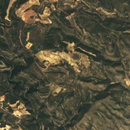
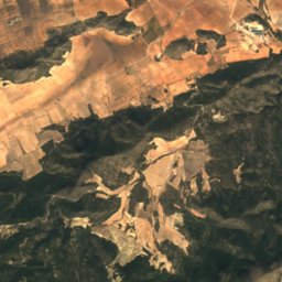
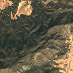
Olula from above
Nature nearbyAll of Spain
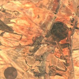
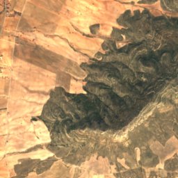
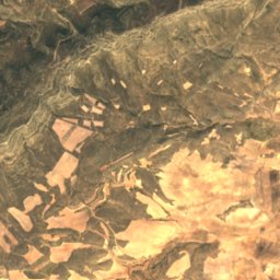
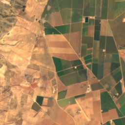
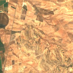
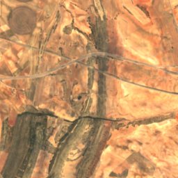
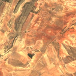
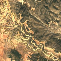
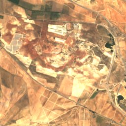
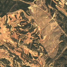
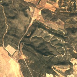
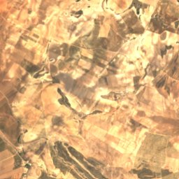
Satellite: Sentinel-2 cloudless 2016 by EOX IT Services GmbH · CC BY 4.0 · Contains modified Copernicus Sentinel data 2016

Photo: Enrique Íñiguez Rodríguez (Qoan) Credit information This work was created by Enr · CC BY-SA 4.0 · Wikimedia CommonsReport this photo · linked, not stored

Summits nearbyMountains of Spain
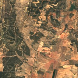
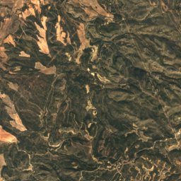
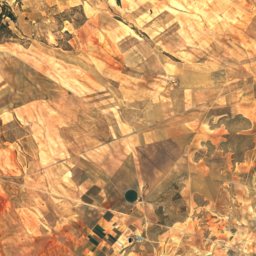
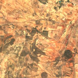
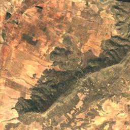
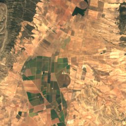
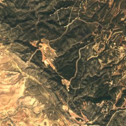
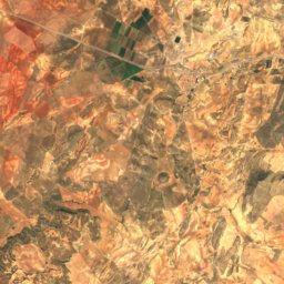
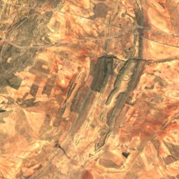
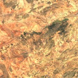
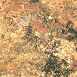
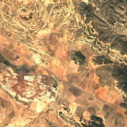
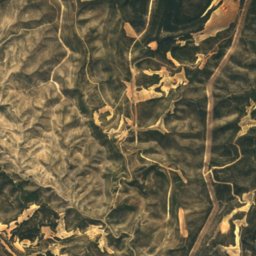
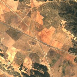
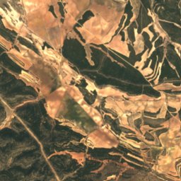
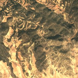
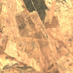
Satellite: Sentinel-2 cloudless 2016 by EOX IT Services GmbH · CC BY 4.0 · Contains modified Copernicus Sentinel data 2016
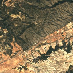
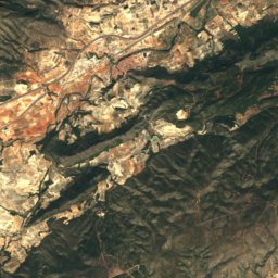
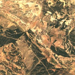
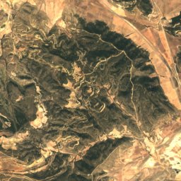
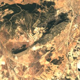
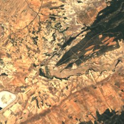
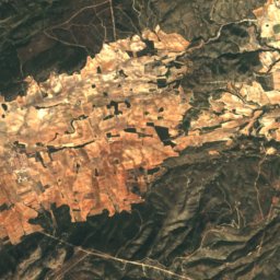
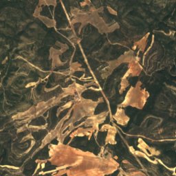
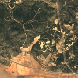
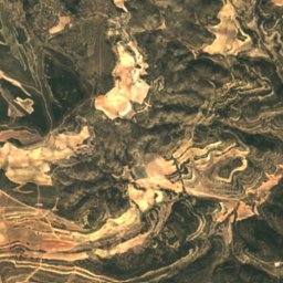
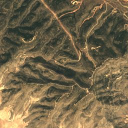
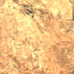
Satellite: Sentinel-2 cloudless 2016 by EOX IT Services GmbH · CC BY 4.0 · Contains modified Copernicus Sentinel data 2016

Photo: Enrique Íñiguez Rodríguez (Qoan) · CC BY-SA 3.0 · Wikimedia CommonsReport this photo · linked, not stored
Stay nearby
Towns close by

Photo: Enrique Íñiguez Rodríguez (Qoan) · CC BY-SA 3.0 · Wikimedia CommonsReport this photo · linked, not stored
Caudete
Castille-La Mancha · 7.7 km SE
24°Oct high
7wet days
83score


Photo: Enrique Íñiguez Rodríguez (Qoan) · CC BY-SA 3.0 · Wikimedia CommonsReport this photo · linked, not stored
La Font de la Figuera
Valencia · 13 km E
24°Oct high
7wet days
82score

Photo: Enrique Íñiguez Rodríguez (Qoan) · CC BY-SA 3.0 · Wikimedia CommonsReport this photo · linked, not stored
Yecla
Murcia · 19 km SW
24°Oct high
7wet days
83score
Around here
Caudete and around
Photo: Enrique Íñiguez Rodríguez (Qoan) · CC BY-SA 3.0 · Wikimedia CommonsReport this photo · linked, not stored
Caudete
Castille-La Mancha · Spain
Mar–Maybest months
34°July high
556 maltitude
Nature
Photo: Enrique Íñiguez Rodríguez (Qoan) Credit information This work was created by Enr · CC BY-SA 4.0 · Wikimedia CommonsReport this photo · linked, not stored
Laguna de Villena
Lake
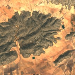
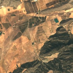
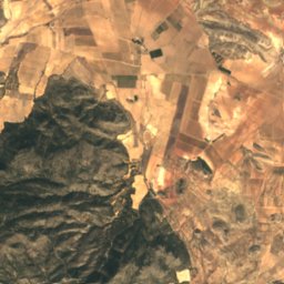
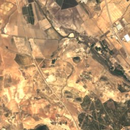
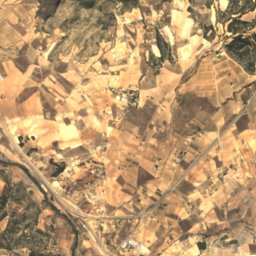
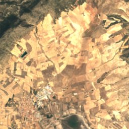
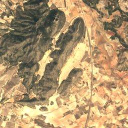
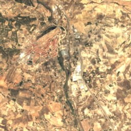
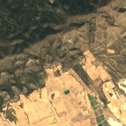
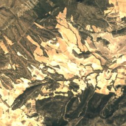
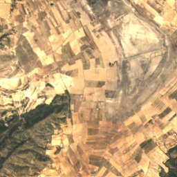
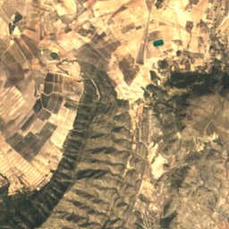
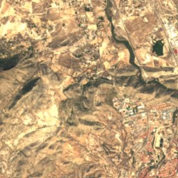
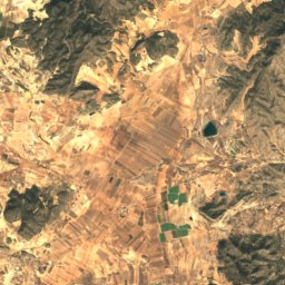
Satellite: Sentinel-2 cloudless 2016 by EOX IT Services GmbH · CC BY 4.0 · Contains modified Copernicus Sentinel data 2016
Laguna de Salinas
Lake · 470 m
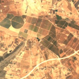
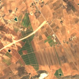
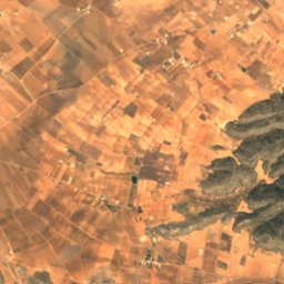
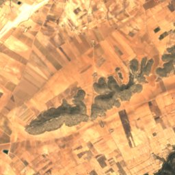
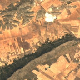
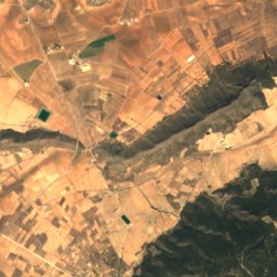
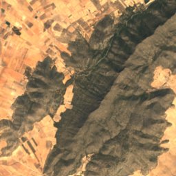
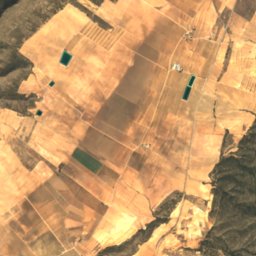
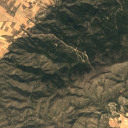
Satellite: Sentinel-2 cloudless 2016 by EOX IT Services GmbH · CC BY 4.0 · Contains modified Copernicus Sentinel data 2016
Cueva del Lagrimal
Cave
Mountains
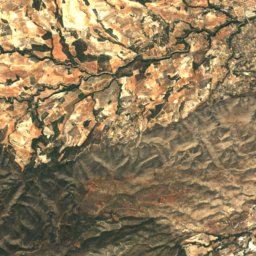
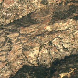
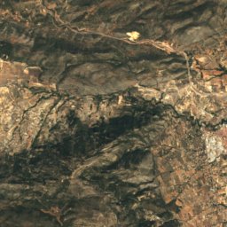
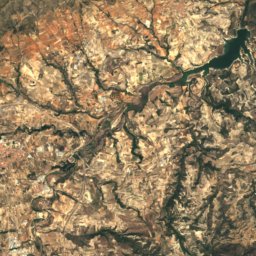
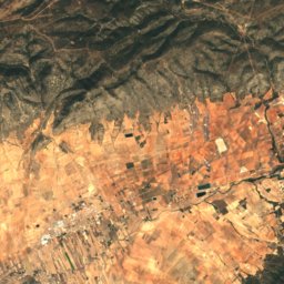
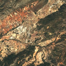
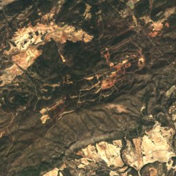
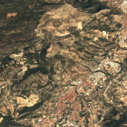
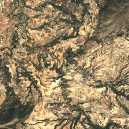
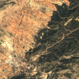
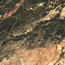
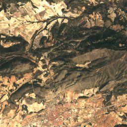
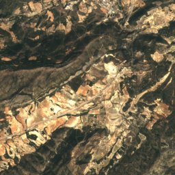
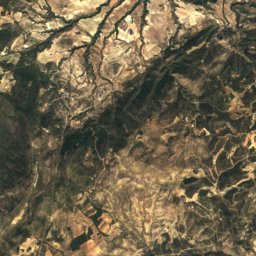
Satellite: Sentinel-2 cloudless 2016 by EOX IT Services GmbH · CC BY 4.0 · Contains modified Copernicus Sentinel data 2016
Teixereta
1,345 m · Serra del Menejador
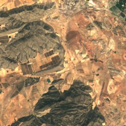
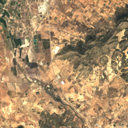
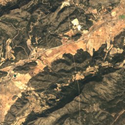
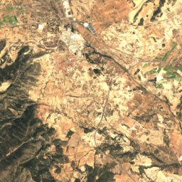
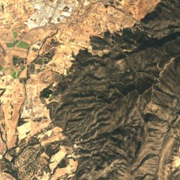
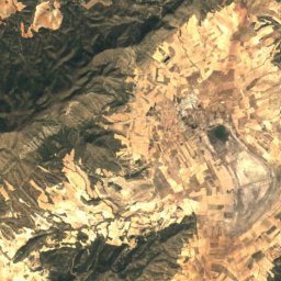
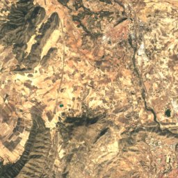
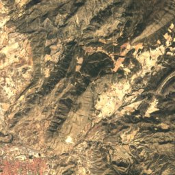
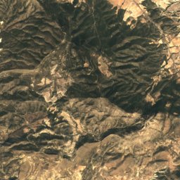
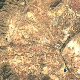
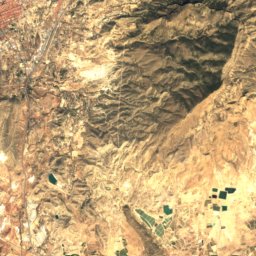
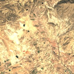
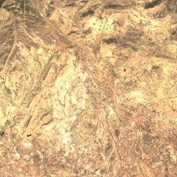
Satellite: Sentinel-2 cloudless 2016 by EOX IT Services GmbH · CC BY 4.0 · Contains modified Copernicus Sentinel data 2016
Maigmó
1,296 m
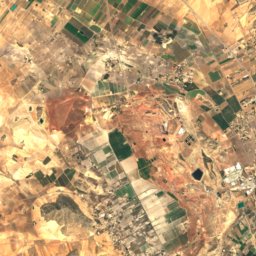
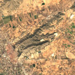
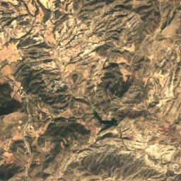
Satellite: Sentinel-2 cloudless 2016 by EOX IT Services GmbH · CC BY 4.0 · Contains modified Copernicus Sentinel data 2016
Despenyador
1,261 m
Heritage
Satellite: Sentinel-2 cloudless 2016 by EOX IT Services GmbH · CC BY 4.0 · Contains modified Copernicus Sentinel data 2016
Church of Santa Catalina, Caudete
bien de interés cultural
Satellite: Sentinel-2 cloudless 2016 by EOX IT Services GmbH · CC BY 4.0 · Contains modified Copernicus Sentinel data 2016
Castillo de Caudete
bien de interés cultural


Satellite: Sentinel-2 cloudless 2016 by EOX IT Services GmbH · CC BY 4.0 · Contains modified Copernicus Sentinel data 2016
Sanctuary of la Virgen de Gracia
bien de interés cultural
Museums
Satellite: Sentinel-2 cloudless 2016 by EOX IT Services GmbH · CC BY 4.0 · Contains modified Copernicus Sentinel data 2016
Museo de la Acuarela Rafael Requena
Art museum
Satellite: Sentinel-2 cloudless 2016 by EOX IT Services GmbH · CC BY 4.0 · Contains modified Copernicus Sentinel data 2016
Centro de Interpretación del Patrimonio Cultural de Caudete
Interpretation centre

Photo: Enrique Íñiguez Rodríguez (Qoan) Credit information This work was created by Enr · CC BY-SA 4.0 · Wikimedia CommonsReport this photo · linked, not stored

Museo Escultor Navarro Santafé
Art museum · 1983