

Photo: RMNORIEGABMS · CC BY-SA 2.5 · Wikimedia Commons
Beach of Los QuebrantosReport this photo · linked, not stored
Beach of Los QuebrantosBeach of Los QuebrantosReport this photo · linked, not stored

Photo: Dcb 183 · CC BY-SA 4.0 · Wikimedia Commons
Playa de La Concha, AsturiasReport this photo · linked, not stored
Playa de La Concha, AsturiasPlaya de La Concha, AsturiasReport this photo · linked, not stored

Photo: Elfo del bosque · CC BY-SA 4.0 · Wikimedia Commons
NonayaReport this photo · linked, not stored
NonayaNonayaReport this photo · linked, not stored

Photo: Vsuarezp · CC BY-SA 4.0 · Wikimedia Commons
Monte NarancoReport this photo · linked, not stored
Monte NarancoMonte NarancoReport this photo · linked, not stored
RiverPronga, Asturias
Narcea
RiverBest Jul–Sep
Elevation–above sea level
Length111 kmsource to mouth
Nearest townPronga0.9 km
43.47° N, 6.11° WUTC+1 · Central European Standard Time
When to goPronga · weather score
Best timeJul–Sep
October: high / low21° / 11°
River
Narcea in brief
Narcea is a river in Pronga, Asturias, Spain.
The nearest town is Pronga, 0.9 km to the SE, where the weather is best in July, August and September.
Narcea is 111 km long.
Weather nearby now
Forecast for Pronga22°
Sunny now
Today
26 Oct
24°
8°
Tue
27 Oct
19°
10°
3 mm
Wed
28 Oct
19°
12°
1 mm
Thu
29 Oct
20°
9°
Fri
30 Oct
24°
8°
Model run 12:00 UTCRefreshed several times a day
The course of the river
As mapped in OpenStreetMap, with the towns along its banks.- 1Limés403 m
- 2Cangas del Narcea368 m
- 3Carceda689 m
- 4Tubongu381 m
- 5Jarceley483 m
- 6Tuña236 m
- 7Godán229 m
- 8Cermoño485 m
- 9San Martín de Lodón92 m
- 10Cornellana87 m
- 11Corias93 m
- 12San Tirso30 m
- 13Pronga87 m
- 14Pravia48 m
sourcemouth (or where the mapped line leaves the country)
When to go
Climate of ProngaThe best months around Narcea
Month score in Pronga
Comfort, dry days and sunshine · out of 10040
Jan
45
Feb
54
Mar
59
Apr
67
May
71
Jun
77
Jul
75
Aug
77
Sep
65
Oct
53
Nov
44
Dec
Map
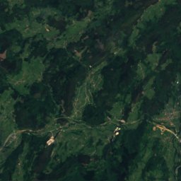
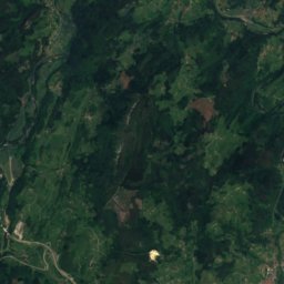
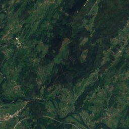
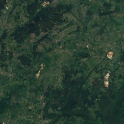
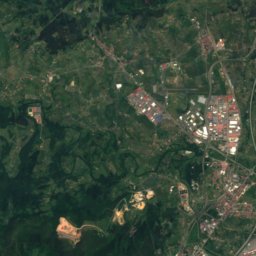
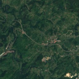
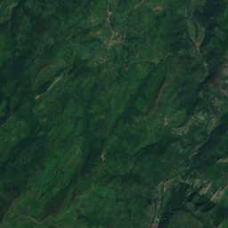
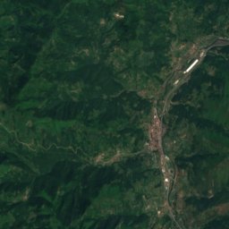
Narcea from above
Nature nearbyAll of Spain
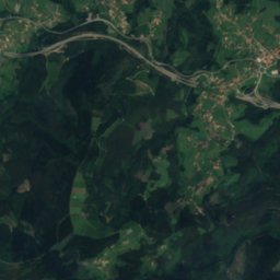
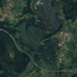
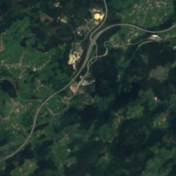
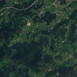
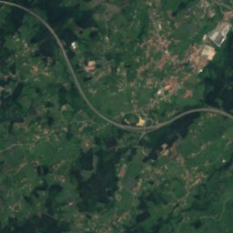
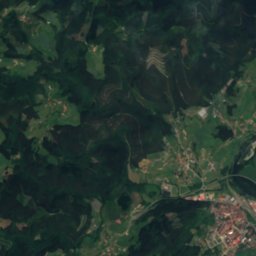
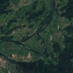
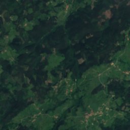
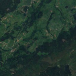
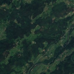
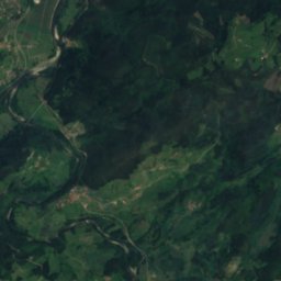
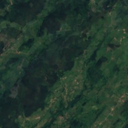
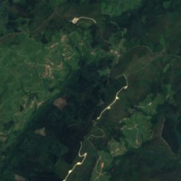
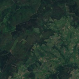
Satellite: Sentinel-2 cloudless 2016 by EOX IT Services GmbH · CC BY 4.0 · Contains modified Copernicus Sentinel data 2016
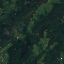
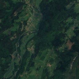
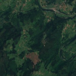
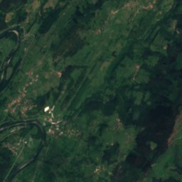
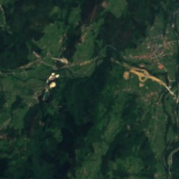
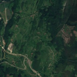
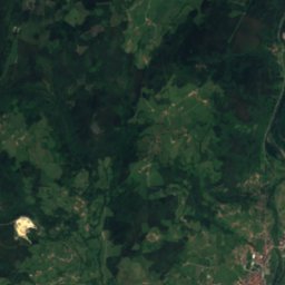
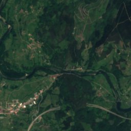
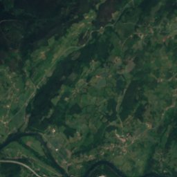
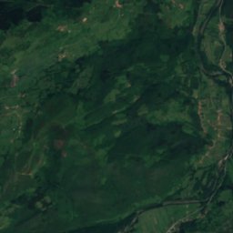
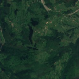
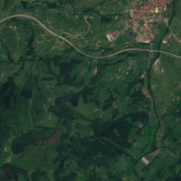
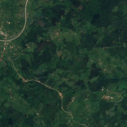
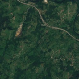
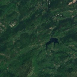
Satellite: Sentinel-2 cloudless 2016 by EOX IT Services GmbH · CC BY 4.0 · Contains modified Copernicus Sentinel data 2016


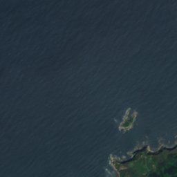
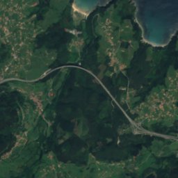
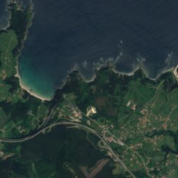
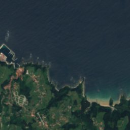
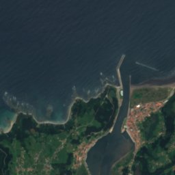
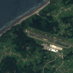
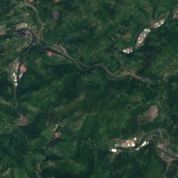
Satellite: Sentinel-2 cloudless 2016 by EOX IT Services GmbH · CC BY 4.0 · Contains modified Copernicus Sentinel data 2016


Summits nearbyMountains of Spain

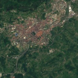


Around here
Pronga and around
Nature
Satellite: Sentinel-2 cloudless 2016 by EOX IT Services GmbH · CC BY 4.0 · Contains modified Copernicus Sentinel data 2016
Cubia
River
Satellite: Sentinel-2 cloudless 2016 by EOX IT Services GmbH · CC BY 4.0 · Contains modified Copernicus Sentinel data 2016
Cave of Candamo
Cave

Mountains

Photo: Eduardo Diez Viñuela · CC BY-SA 3.0 · Wikimedia CommonsReport this photo · linked, not stored
El Gamoniteiru
1,786 m
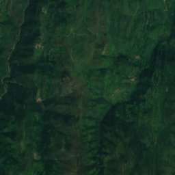
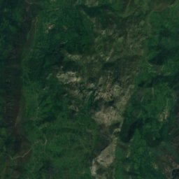
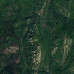
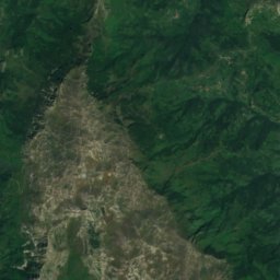
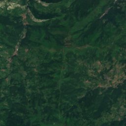
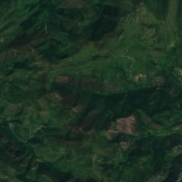
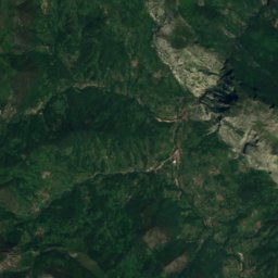
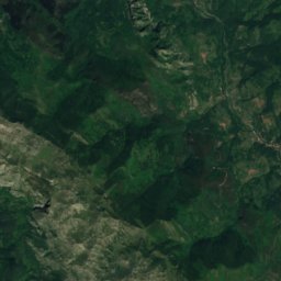
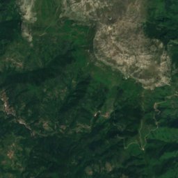
Satellite: Sentinel-2 cloudless 2016 by EOX IT Services GmbH · CC BY 4.0 · Contains modified Copernicus Sentinel data 2016
Alto de L'Angliru
1,570 m · Cantabrian Mountains

Heritage


Church of San Juan Apóstol y Evangelista
bien de interés cultural · 701
Museums
Satellite: Sentinel-2 cloudless 2016 by EOX IT Services GmbH · CC BY 4.0 · Contains modified Copernicus Sentinel data 2016
Museo de Santianes (Pravia)
2007



Satellite: Sentinel-2 cloudless 2016 by EOX IT Services GmbH · CC BY 4.0 · Contains modified Copernicus Sentinel data 2016
Centro de Interpretación de la Cueva de la Peña
Interpretation centre

Photo: José Antonio Gil Martínez · CC BY 2.0 · Wikimedia CommonsReport this photo · linked, not stored

Museo prerrománico de San Martín de Salas
1980