

Photo: Jose Lorca · Public domain · Wikimedia Commons
GuadalentínReport this photo · linked, not stored
GuadalentínGuadalentínReport this photo · linked, not stored

Photo: Werner Wilmes · CC BY 2.0 · Wikimedia Commons
Embalse de La CiervaReport this photo · linked, not stored
Embalse de La CiervaEmbalse de La CiervaReport this photo · linked, not stored

Photo: Heriberto Arribas Abato · CC BY-SA 3.0 · Wikimedia Commons
Cabezo Negro de ZenetaReport this photo · linked, not stored
Cabezo Negro de ZenetaCabezo Negro de ZenetaReport this photo · linked, not stored
RiverLas Torres de Cotillas, Murcia
Mula
RiverBest Feb–Apr
Elevation–above sea level
Length64 kmsource to mouth
Nearest townLas Torres de Cotillas1.8 km
38.04° N, 1.22° WUTC+2 · Central European Summer Time
When to goLas Torres de Cotillas · weather score
Best timeFeb–Apr
October: high / low26° / 14°
River
Mula in brief
Mula is a river in Las Torres de Cotillas, Murcia, Spain.
The nearest town in the atlas is Las Torres de Cotillas, 1.8 km to the SW, where the weather is best in February, March and April.
Mula is 64 km long.
Weather nearby now
Forecast for Las Torres de Cotillas25°
Sunny now
Today
22 Oct
26°
12°
Fri
23 Oct
27°
13°
Sat
24 Oct
25°
11°
Sun
25 Oct
27°
12°
Mon
26 Oct
27°
13°
Model run 00:00 UTCRefreshed several times a day
The course of the river
As mapped in OpenStreetMap, with the towns of the atlas along its banks.- 1Molina de Segura108 m
- 2Alguazas100 m
- 3Las Torres de Cotillas87 m
sourcemouth (or where the mapped line leaves the country)
Map
Mula from above
Nature nearbyAll of Spain
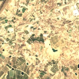
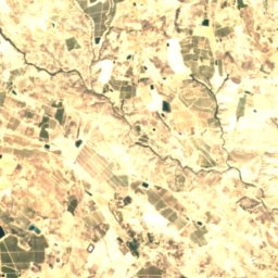
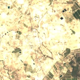
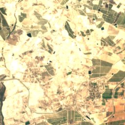
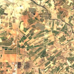
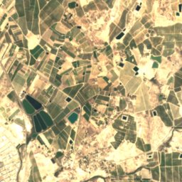
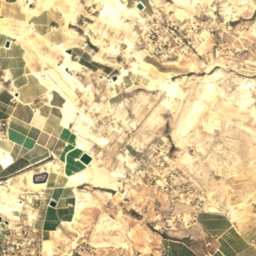
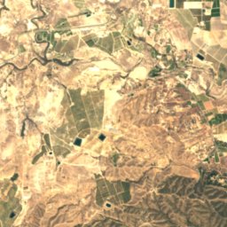
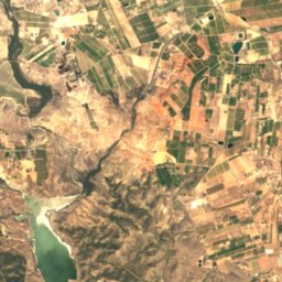
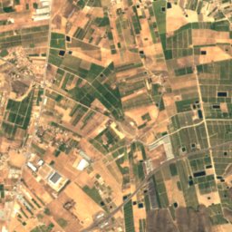
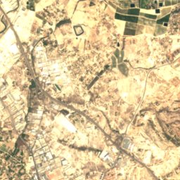
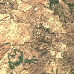
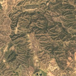
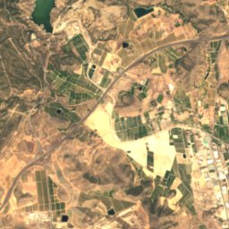
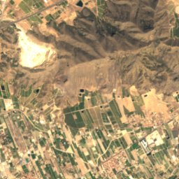
Satellite: Sentinel-2 cloudless 2016 by EOX IT Services GmbH · CC BY 4.0 · Contains modified Copernicus Sentinel data 2016


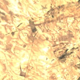
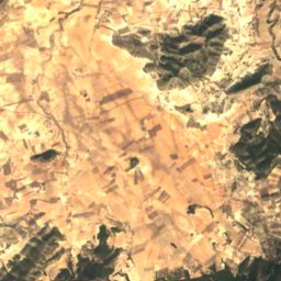
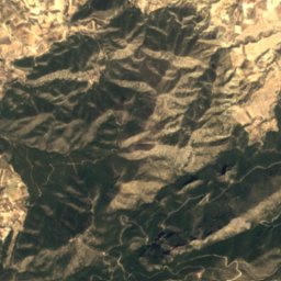
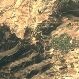
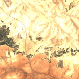
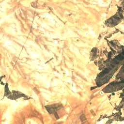
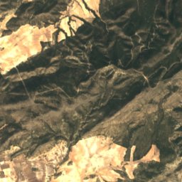
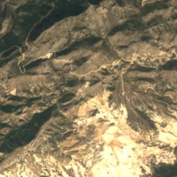
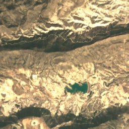

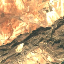
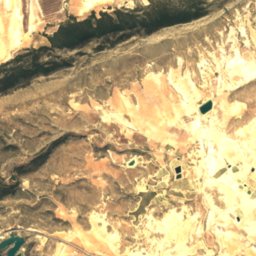
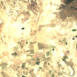
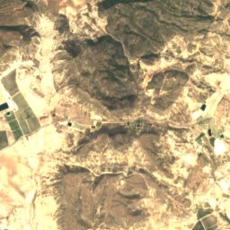
Satellite: Sentinel-2 cloudless 2016 by EOX IT Services GmbH · CC BY 4.0 · Contains modified Copernicus Sentinel data 2016
Satellite: Sentinel-2 cloudless 2016 by EOX IT Services GmbH · CC BY 4.0 · Contains modified Copernicus Sentinel data 2016
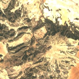
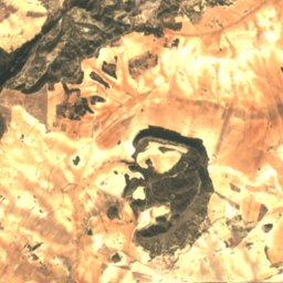
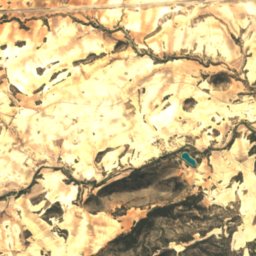
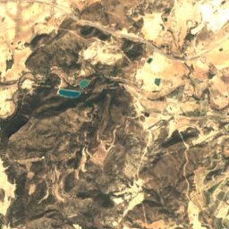
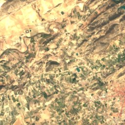
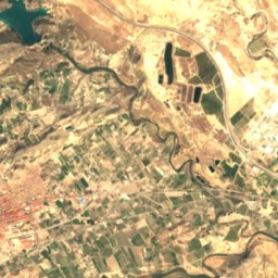
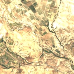
Satellite: Sentinel-2 cloudless 2016 by EOX IT Services GmbH · CC BY 4.0 · Contains modified Copernicus Sentinel data 2016

Summits nearbyMountains of Spain
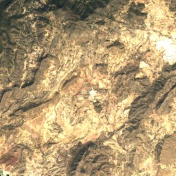
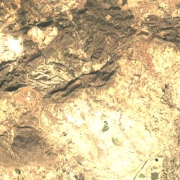
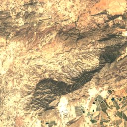
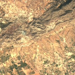
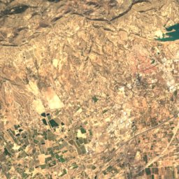
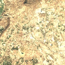
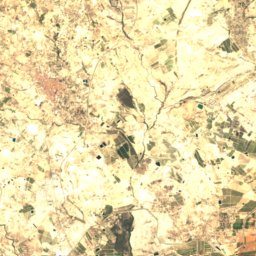
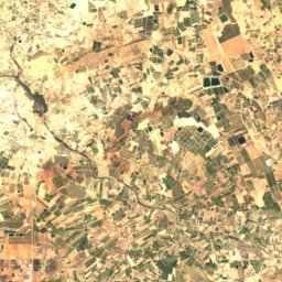
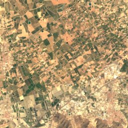
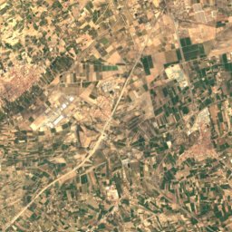
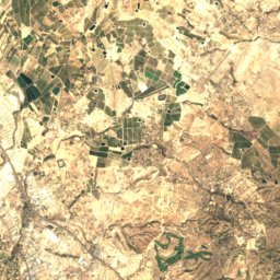
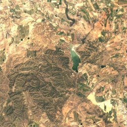
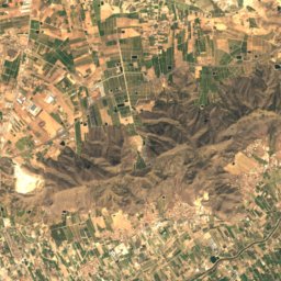
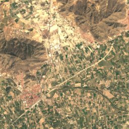
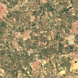
Satellite: Sentinel-2 cloudless 2016 by EOX IT Services GmbH · CC BY 4.0 · Contains modified Copernicus Sentinel data 2016

Photo: Heriberto Arribas Abato · CC BY-SA 3.0 · Wikimedia CommonsReport this photo · linked, not stored
Stay nearby
Towns close by

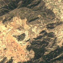
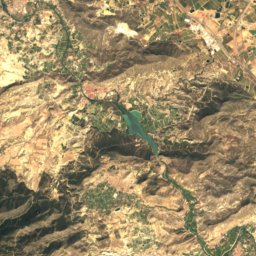
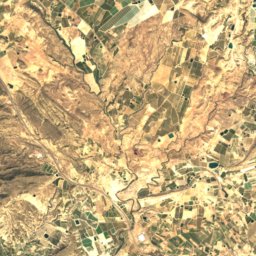
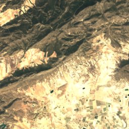
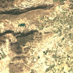
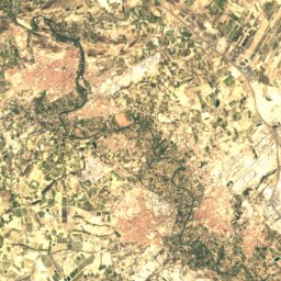
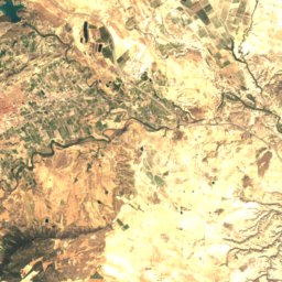
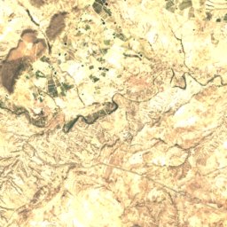
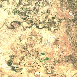
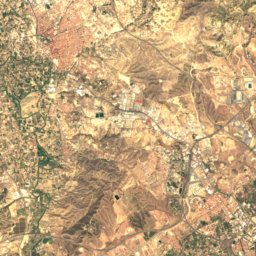
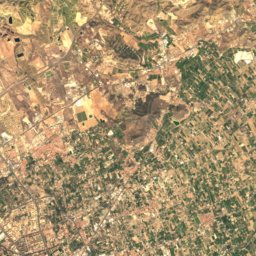
Satellite: Sentinel-2 cloudless 2016 by EOX IT Services GmbH · CC BY 4.0 · Contains modified Copernicus Sentinel data 2016
Alguazas
Murcia · 3.0 km NW
26°Oct high
7wet days
80score

Around here
Las Torres de Cotillas and around

Las Torres de Cotillas
Murcia · Spain
Feb–Aprbest months
35°July high
87 maltitude
Nature
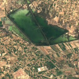
Satellite: Sentinel-2 cloudless 2016 by EOX IT Services GmbH · CC BY 4.0 · Contains modified Copernicus Sentinel data 2016
Santomera Reservoir
Lake · 83 m
Mountains
Satellite: Sentinel-2 cloudless 2016 by EOX IT Services GmbH · CC BY 4.0 · Contains modified Copernicus Sentinel data 2016
Sierra de Orihuela
634 m · Prebaetic System
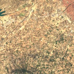
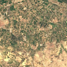
Satellite: Sentinel-2 cloudless 2016 by EOX IT Services GmbH · CC BY 4.0 · Contains modified Copernicus Sentinel data 2016
Sierra de Callosa
578 m · Cordillera Penibética
Photo: Heriberto Arribas Abato · CC BY-SA 3.0 · Wikimedia CommonsReport this photo · linked, not stored
Cabezo Negro de Zeneta
203 m
Heritage
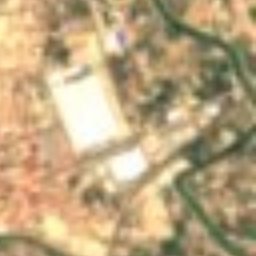
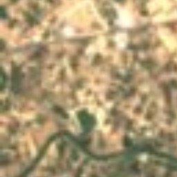
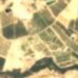
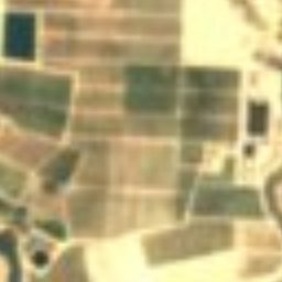
Satellite: Sentinel-2 cloudless 2016 by EOX IT Services GmbH · CC BY 4.0 · Contains modified Copernicus Sentinel data 2016
Saint Onuphrius Church
bien de interés cultural


Museums

MUDEM - Museo del Enclave de la Muralla
Archaeological museum
Satellite: Sentinel-2 cloudless 2016 by EOX IT Services GmbH · CC BY 4.0 · Contains modified Copernicus Sentinel data 2016


