
Photo: Alejandro Muñoz Cabrisas · CC BY-SA 4.0 · Wikimedia Commons
MacarellaReport this photo · linked, not stored
MacarellaReport this photo · linked, not stored

Photo: Paul Stephenson · CC BY 2.0 · Wikimedia Commons
Cala MacarellaReport this photo · linked, not stored
Cala MacarellaCala MacarellaReport this photo · linked, not stored

Photo: Seruba · CC BY-SA 3.0 · Wikimedia Commons
Cala MacarelletaReport this photo · linked, not stored
Cala MacarelletaCala MacarelletaReport this photo · linked, not stored

Photo: Ben Salter from Wales · CC BY 2.0 · Wikimedia Commons
Playa Cala GaldanaReport this photo · linked, not stored
Playa Cala GaldanaPlaya Cala GaldanaReport this photo · linked, not stored

Photo: Enfo · CC BY-SA 3.0 · Wikimedia Commons
Cala en TurquetaReport this photo · linked, not stored
Cala en TurquetaCala en TurquetaReport this photo · linked, not stored
BeachFerreries, Balearic Islands
Macarella
BeachBest Apr–Jun
Elevation–above sea level
Sea, warmest26°CAugust
Nearest townFerreries8.1 km
39.94° N, 3.94° EUTC+1 · Central European Standard Time
When to goFerreries · weather score
Best timeApr–Jun
October: high / low23° / 16°
Beach
Macarella in brief
Macarella is a beach in Ferreries, Balearic Islands, Spain.
The nearest town is Ferreries, 8.1 km to the NE, where the weather is best in April, May and June.
The sea is warmest in August, at about 26°C.
Weather nearby now
Forecast for Ferreries15°
Clear now
Today
26 Oct
25°
11°
Tue
27 Oct
26°
13°
Wed
28 Oct
23°
13°
Thu
29 Oct
23°
12°
Fri
30 Oct
23°
11°
Model run 12:00 UTCRefreshed several times a day
Sea and air through the year
Sea surface temperature off the coast and the average daily high in Ferreries, month by month.Jan15°14°
Feb14°14°
Mar14°16°
Apr15°19°
May18°22°
Jun21°27°
Jul24°30°
Aug26°30°
Sep25°26°
Oct22°23°
Nov19°18°
Dec16°16°
seaair, daily high
When to go
Climate of FerreriesThe best months around Macarella
Month score in Ferreries
Comfort, dry days and sunshine · out of 10057
Jan
59
Feb
70
Mar
80
Apr
85
May
84
Jun
73
Jul
68
Aug
69
Sep
76
Oct
70
Nov
62
Dec
Map
Macarella from above
Nature nearbyAll of Spain


Photo: Alejandro Muñoz Cabrisas · CC BY-SA 4.0 · Wikimedia CommonsReport this photo · linked, not stored

Summits nearbyMountains of Spain

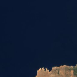
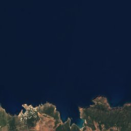
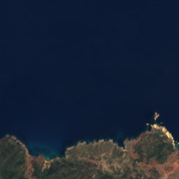
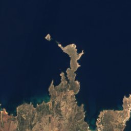
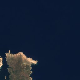
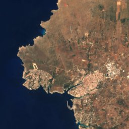
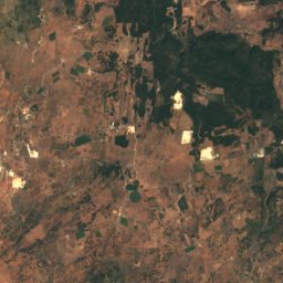
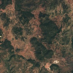
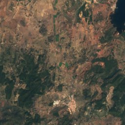
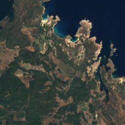
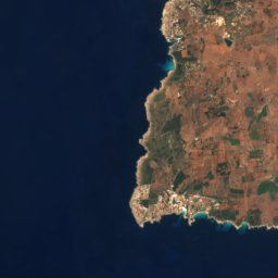
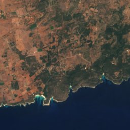
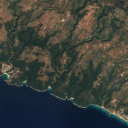
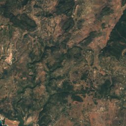
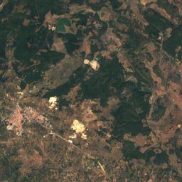
Satellite: Sentinel-2 cloudless 2016 by EOX IT Services GmbH · CC BY 4.0 · Contains modified Copernicus Sentinel data 2016

Stay nearby
Towns close by


Around here
Ferreries and around
Nature

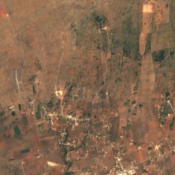
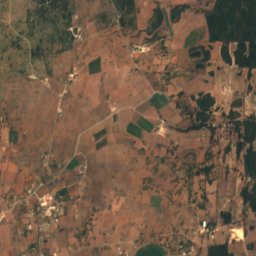
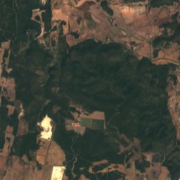
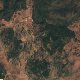
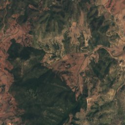
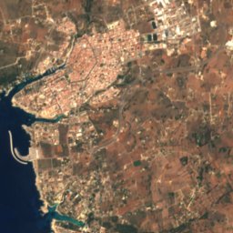
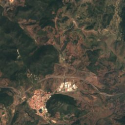
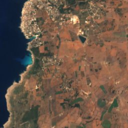
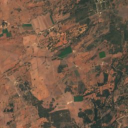
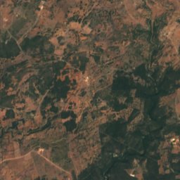
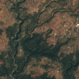
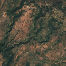
Satellite: Sentinel-2 cloudless 2016 by EOX IT Services GmbH · CC BY 4.0 · Contains modified Copernicus Sentinel data 2016
Cova des Càrritx
Cave

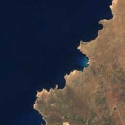

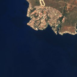


Satellite: Sentinel-2 cloudless 2016 by EOX IT Services GmbH · CC BY 4.0 · Contains modified Copernicus Sentinel data 2016
Cova de Rafal Vell
Cave
Mountains

Satellite: Sentinel-2 cloudless 2016 by EOX IT Services GmbH · CC BY 4.0 · Contains modified Copernicus Sentinel data 2016
S'Enclusa
275 m

Heritage
Satellite: Sentinel-2 cloudless 2016 by EOX IT Services GmbH · CC BY 4.0 · Contains modified Copernicus Sentinel data 2016
Talaia de s'Enclusa
bien de interés cultural


Photo: Herodotptlomeu (talk) · CC BY-SA 3.0 · Wikimedia CommonsReport this photo · linked, not stored
Castle of Sant Antoni
bien de interés cultural · 1700
Museums






Satellite: Sentinel-2 cloudless 2016 by EOX IT Services GmbH · CC BY 4.0 · Contains modified Copernicus Sentinel data 2016
Cap de Cavalleria Ecomuseum
Ecomuseum · 1997


Satellite: Sentinel-2 cloudless 2016 by EOX IT Services GmbH · CC BY 4.0 · Contains modified Copernicus Sentinel data 2016
Museu Diocesà de Menorca
Diocesan museum
Satellite: Sentinel-2 cloudless 2016 by EOX IT Services GmbH · CC BY 4.0 · Contains modified Copernicus Sentinel data 2016
Museu Municipal
1935