
Skip to content
Destinations
Weather & climate
Nature
Outdoors
Culture
Events
Sky & live
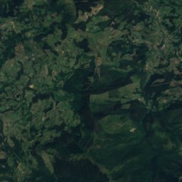
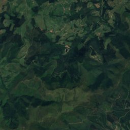
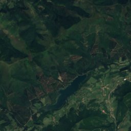
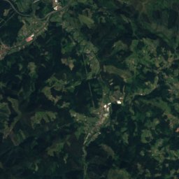
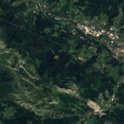
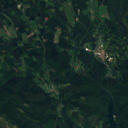
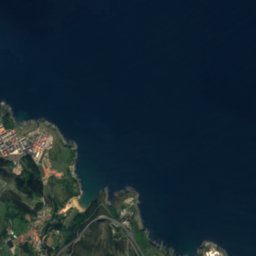
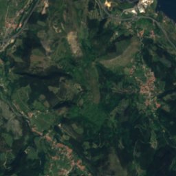
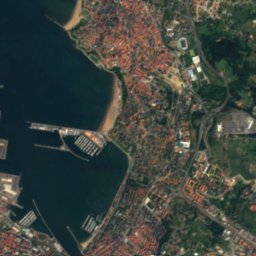
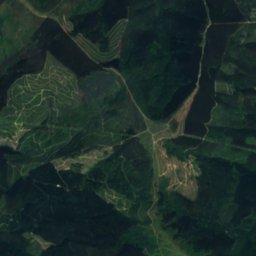
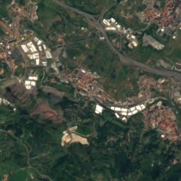
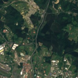
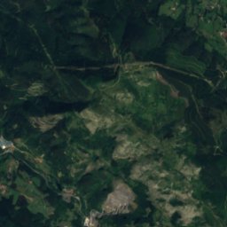
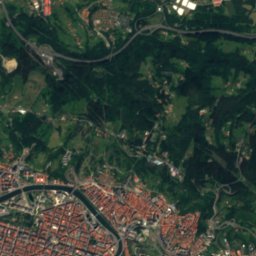
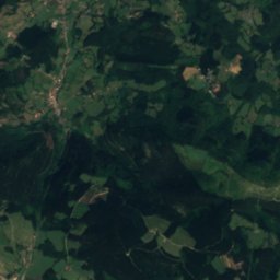
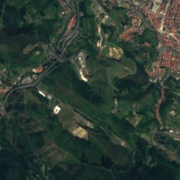
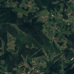
Satellite: Sentinel-2 cloudless 2016 by EOX IT Services GmbH · CC BY 4.0 · Contains modified Copernicus Sentinel data 2016
Arenaza cave
Photo: User:Ebaki · CC BY-SA 4.0 · Wikimedia Commons
Arenaza caveReport this photo · linked, not stored
Arenaza cave
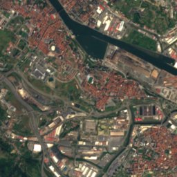
Nervión
Photo: Javier Mediavilla Ezquibela Esta imagen tiene una licencia libre (que puedes ver · CC BY-SA 2.0 · Wikimedia Commons
NerviónReport this photo · linked, not stored
Nervión
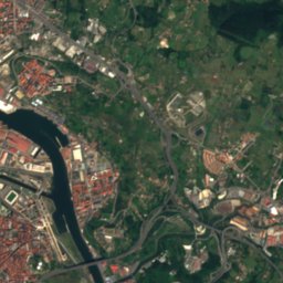
Las Arenas
Photo: User:Javierme, Javier Mediavilla Ezquibela · CC BY 3.0 · Wikimedia Commons
Las ArenasReport this photo · linked, not stored
Las Arenas
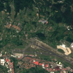
Ereaga
Photo: Pablofausto · CC BY-SA 2.0 · Wikimedia Commons
EreagaReport this photo · linked, not stored
Ereaga
LakeOrtuella, Basque Country

Loiola

LakeBest Jul–Sep
Elevation–above sea level
Area–surface
Nearest townOrtuella4.5 km
43.27° N, 3.05° WUTC+1 · Central European Standard Time
When to goOrtuella · weather score
JanFebMarAprMayJunJulAugSepOctNovDec67October
Best timeJul–Sep
October: high / low20° / 12°
Lake

Loiola in brief

Loiola is a lake in Ortuella, Basque Country, Spain.

The nearest town is Ortuella, 4.5 km to the N, where the weather is best in July, August and September.

Ortuella: weather and travel guide

Weather nearby now

Forecast for Ortuella
19°
Partly cloudy now
Wind13 km/h
Humidity66%
Cloud cover30%
Today
27 Oct
22°
9°
1 mm
Wed
28 Oct
17°
9°
1 mm
Thu
29 Oct
21°
6°
Fri
30 Oct
18°
7°
Sat
31 Oct
20°
5°

Model run 00:00 UTCRefreshed several times a day

When to go

The best months around Loiola

Climate of Ortuella

Month score in Ortuella

Comfort, dry days and sunshine · out of 100
Map

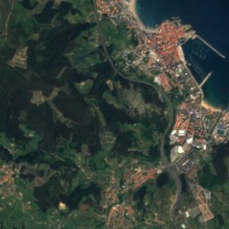
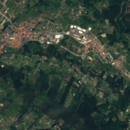
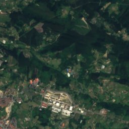
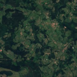
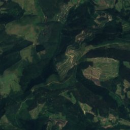
Loiola from above

Nature nearbyAll of Spain
Photo: User:Ebaki · CC BY-SA 4.0 · Wikimedia CommonsReport this photo · linked, not stored
Arenaza caveCave4.4 kmWArenaza cave
Photo: Javier Mediavilla Ezquibela Esta imagen tiene una licencia libre (que puedes ver · CC BY-SA 2.0 · Wikimedia CommonsReport this photo · linked, not stored
NerviónRiver6.5 kmNNervión
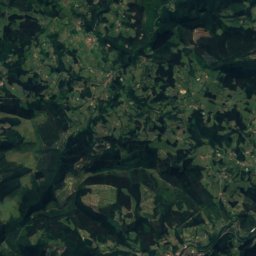
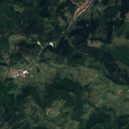
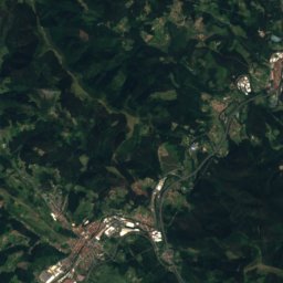
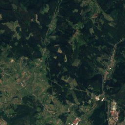
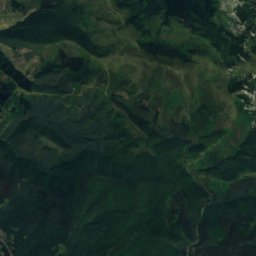
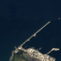
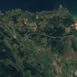
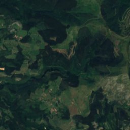
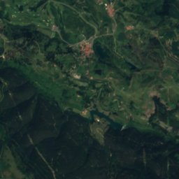
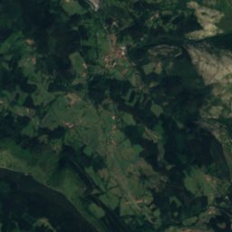
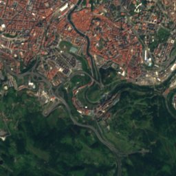
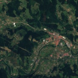
Satellite: Sentinel-2 cloudless 2016 by EOX IT Services GmbH · CC BY 4.0 · Contains modified Copernicus Sentinel data 2016
GalindoRiver6.5 kmNEGalindo
Photo: User:Javierme, Javier Mediavilla Ezquibela · CC BY 3.0 · Wikimedia CommonsReport this photo · linked, not stored
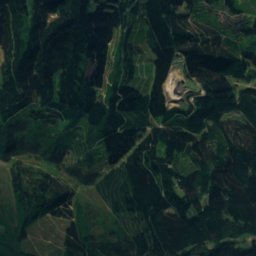
Las ArenasBeach6.7 kmNLas Arenas
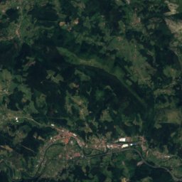
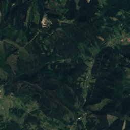
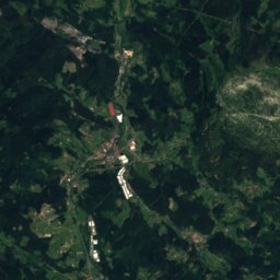
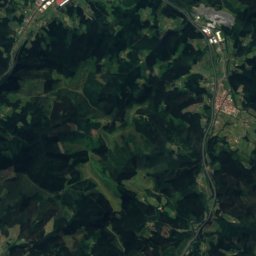
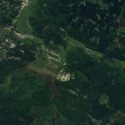
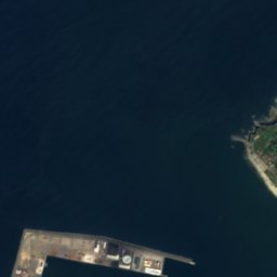
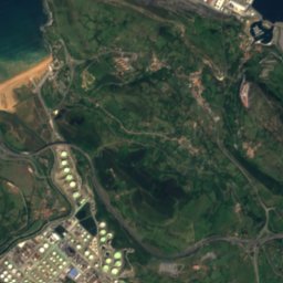
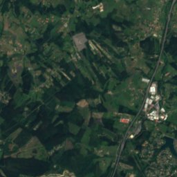
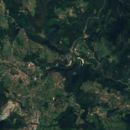
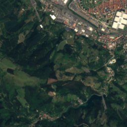
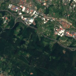
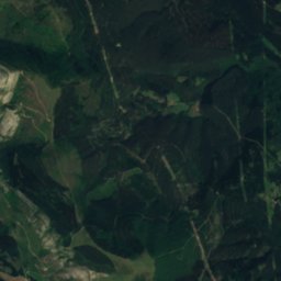
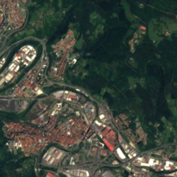
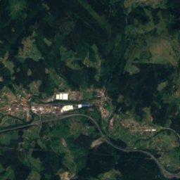
Satellite: Sentinel-2 cloudless 2016 by EOX IT Services GmbH · CC BY 4.0 · Contains modified Copernicus Sentinel data 2016
HerreríasRiver7.5 kmSHerrerías
Photo: Pablofausto · CC BY-SA 2.0 · Wikimedia CommonsReport this photo · linked, not stored
EreagaBeach8.7 kmNEreaga
Summits nearbyMountains of Spain
Photo: Telle · CC BY-SA 3.0 · Wikimedia CommonsReport this photo · linked, not stored
Maza del Pando23 km SW1,021 mJuly 23°Maza del Pando
Photo: https://www.flickr.com/people/joxin/ · CC BY 2.0 · Wikimedia CommonsReport this photo · linked, not stored
Ganekogorta9.4 km SE999 mJuly 22°Ganekogorta
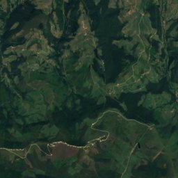
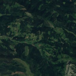
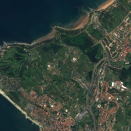
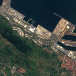
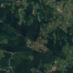
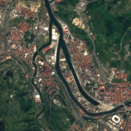
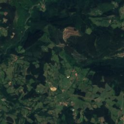
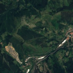
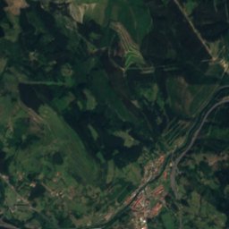
Satellite: Sentinel-2 cloudless 2016 by EOX IT Services GmbH · CC BY 4.0 · Contains modified Copernicus Sentinel data 2016
Kolitza (mountain)18 km SW897 mJuly 24°Kolitza (mountain)
Photo: Telle · CC BY-SA 3.0 · Wikimedia CommonsReport this photo · linked, not stored
Eretza4.3 km S887 mJuly 23°Eretza
Photo: Telle · CC BY-SA 3.0 · Wikimedia CommonsReport this photo · linked, not stored
Ganeran1.9 km SW822 mJuly 23°Ganeran
Photo: Telle · CC BY-SA 4.0 · Wikimedia CommonsReport this photo · linked, not stored
Pico de la Cruz2.8 km SW802 mJuly 22°Pico de la Cruz
Stay nearby

Towns close by

Ortuella
Photo: Zarateman · CC0 · Wikimedia CommonsReport this photo · linked, not stored

Ortuella

Basque Country · 4.5 km N
20°Oct high
12wet days
67score
Ortuella
Galdames
Photo: Etxaburu · CC BY-SA 4.0 · Wikimedia CommonsReport this photo · linked, not stored

Galdames

Basque Country · 4.8 km SW
20°Oct high
12wet days
66score
Galdames
Sestao
Photo: Javierme Javier Mediavilla Ezquibela · CC BY 3.0 · Wikimedia CommonsReport this photo · linked, not stored

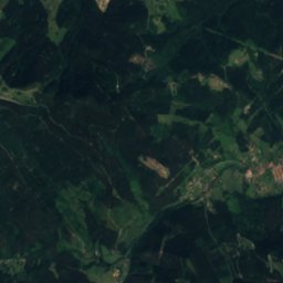
Sestao

Basque Country · 5.4 km NE
21°Oct high
12wet days
67score
Sestao
Barakaldo
Photo: Ebaki · CC BY-SA 4.0 · Wikimedia CommonsReport this photo · linked, not stored
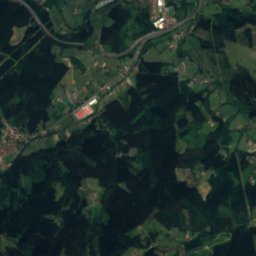
Barakaldo

Basque Country · 5.6 km NE
21°Oct high
12wet days
67score
Barakaldo
Around here

Ortuella and around

Ortuella
Photo: Zarateman · CC0 · Wikimedia CommonsReport this photo · linked, not stored
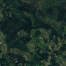
Ortuella

Basque Country · Spain
Jul–Sepbest months
24°July high
80 maltitude
Ortuella

Nature

Nervión
Photo: Javier Mediavilla Ezquibela Esta imagen tiene una licencia libre (que puedes ver · CC BY-SA 2.0 · Wikimedia CommonsReport this photo · linked, not stored
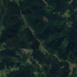
3.4 km NE

Nervión

River
Nervión
Gobela river
Photo: Javier Mediavilla Ezquibela · CC BY 2.5 · Wikimedia CommonsReport this photo · linked, not stored
11 km NE

Gobela river

River
Gobela river
Barbadun
Photo: Javierme Javier Mediavilla Ezquibela · CC BY-SA 3.0 es · Wikimedia CommonsReport this photo · linked, not stored
6.2 km NW

Barbadun

River
Barbadun

Mountains

Gorbea
Photo: Txo · Public domain · Wikimedia CommonsReport this photo · linked, not stored
38 km SE

Gorbea

1,481 m · Gorbeia mountain range
Gorbea
Satellite: Sentinel-2 cloudless 2016 by EOX IT Services GmbH · CC BY 4.0 · Contains modified Copernicus Sentinel data 2016
35 km SE

Usotegieta

1,188 m
Usotegieta
Eskutxi
Photo: Adrar · Public domain · Wikimedia CommonsReport this photo · linked, not stored
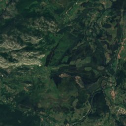
31 km S

Eskutxi

1,180 m · Gorobel-Salvada mountain range
Eskutxi

Heritage

Barco dorrea
Photo: Ebaki · CC BY-SA 4.0 · Wikimedia CommonsReport this photo · linked, not stored
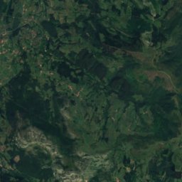
2.5 km NW

Barco dorrea

Basque government heritage site · 1700
Barco dorrea
Marqués de Casa Torre jauregia
Photo: Zarateman · CC0 · Wikimedia CommonsReport this photo · linked, not stored
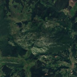
2.7 km NE

Marqués de Casa Torre jauregia

Basque government heritage site
Marqués de Casa Torre jauregia
Larreinetako funikularra
Photo: Etxaburu · CC BY-SA 4.0 · Wikimedia CommonsReport this photo · linked, not stored
2.0 km SE

Larreinetako funikularra

Basque government heritage site
Larreinetako funikularra

Museums

Mining Museum for the Basque Country in Gallarta
Photo: Zarateman · CC0 · Wikimedia CommonsReport this photo · linked, not stored
1.1 km W

Mining Museum for the Basque Country in Gallarta

Mining museum
Mining Museum for the Basque Country in Gallarta
Rialia Museum of Industry in Portugalete
Photo: Zarateman · CC0 · Wikimedia CommonsReport this photo · linked, not stored
3.5 km E

Rialia Museum of Industry in Portugalete

Industry museum · 2006
Rialia Museum of Industry in Portugalete
Santurtzi Maritime Museum
Photo: Vanbasten 23 · CC BY-SA 3.0 · Wikimedia CommonsReport this photo · linked, not stored
3.0 km NE

Santurtzi Maritime Museum

Santurtzi Maritime Museum