





















Skip to content
Destinations
Weather & climate
Nature
Outdoors
Culture
Events
Sky & live
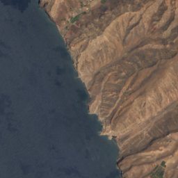
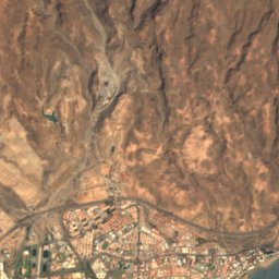
Satellite: Sentinel-2 cloudless 2016 by EOX IT Services GmbH · CC BY 4.0 · Contains modified Copernicus Sentinel data 2016
Morro de la Agujereada
Photo: Olo72 · CC BY-SA 4.0 · Wikimedia Commons
Morro de la AgujereadaReport this photo · linked, not stored
Morro de la Agujereada
Pico de las Nieves
Photo: atu60 · CC BY-SA 3.0 · Wikimedia Commons
Pico de las NievesReport this photo · linked, not stored
Pico de las Nieves
Roque Nublo
Photo: Basotxerri · CC BY-SA 4.0 · Wikimedia Commons
Roque NubloReport this photo · linked, not stored
Roque Nublo
Macizo de Amurga
Photo: Olo72 · CC BY-SA 4.0 · Wikimedia Commons
Macizo de AmurgaReport this photo · linked, not stored
Macizo de Amurga
BeachArguineguín, Canary Islands

Llanillo

BeachBest Apr–Jun
Elevation–above sea level
Sea, warmest23°CSeptember
Nearest townArguineguín2.0 km
27.76° N, 15.66° WUTC+0 · Western European Standard Time
When to goArguineguín · weather score
JanFebMarAprMayJunJulAugSepOctNovDec82October
Best timeApr–Jun
October: high / low27° / 21°
Beach

Llanillo in brief

Llanillo is a beach in Arguineguín, Canary Islands, Spain.

The nearest town is Arguineguín, 2.0 km to the W, where the weather is best in April, May and June.

The sea is warmest in September, at about 23°C.

Arguineguín: weather and travel guide

Weather nearby now

Forecast for Arguineguín
26°
Clear now
Wind1 km/h
Humidity78%
Cloud cover0%
Today
28 Oct
28°
24°
Thu
29 Oct
28°
23°
Fri
30 Oct
27°
22°
Sat
31 Oct
28°
23°
Sun
1 Nov
31°
24°

Model run 12:00 UTCRefreshed several times a day

Sea and air through the year

Sea surface temperature off the coast and the average daily high in Arguineguín, month by month.
Jan20°22°
Feb19°22°
Mar19°23°
Apr19°23°
May20°24°
Jun21°26°
Jul22°28°
Aug23°28°
Sep23°28°
Oct23°27°
Nov22°25°
Dec21°23°
seaair, daily high
When to go

The best months around Llanillo

Climate of Arguineguín

Month score in Arguineguín

Comfort, dry days and sunshine · out of 100
Map

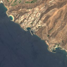
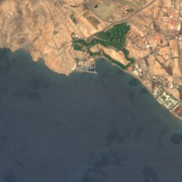
Llanillo from above

Nature nearbyAll of Spain
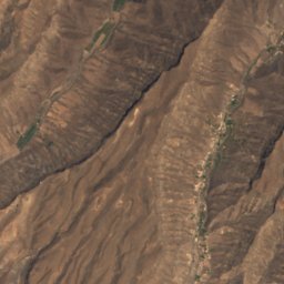
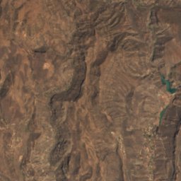
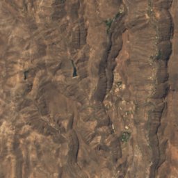
Satellite: Sentinel-2 cloudless 2016 by EOX IT Services GmbH · CC BY 4.0 · Contains modified Copernicus Sentinel data 2016
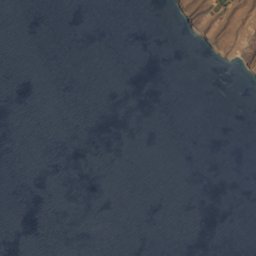
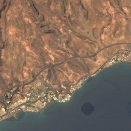
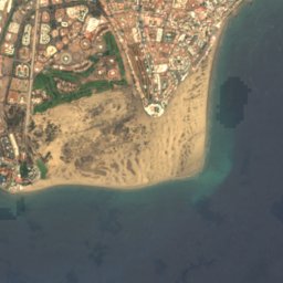
Los BigotesBeach0.4 kmELos Bigotes
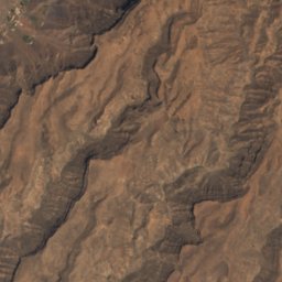
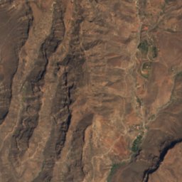
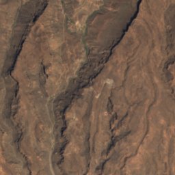
Satellite: Sentinel-2 cloudless 2016 by EOX IT Services GmbH · CC BY 4.0 · Contains modified Copernicus Sentinel data 2016
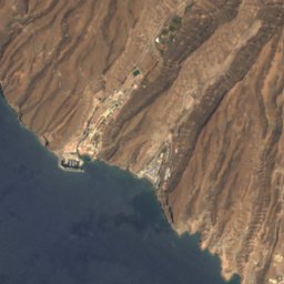
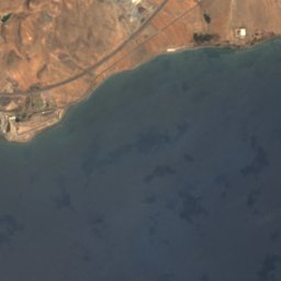
Lomo GaleónBeach0.5 kmWLomo Galeón
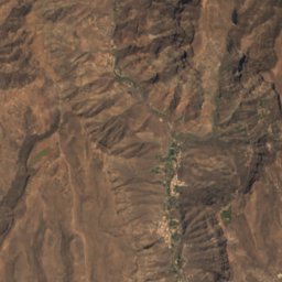
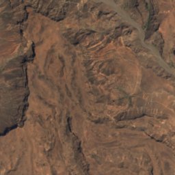
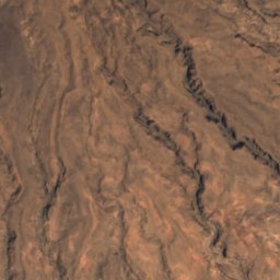
Satellite: Sentinel-2 cloudless 2016 by EOX IT Services GmbH · CC BY 4.0 · Contains modified Copernicus Sentinel data 2016
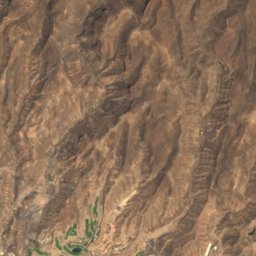
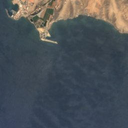
TrianaBeach0.8 kmETriana
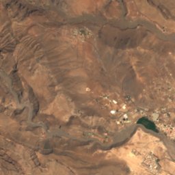
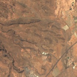
Satellite: Sentinel-2 cloudless 2016 by EOX IT Services GmbH · CC BY 4.0 · Contains modified Copernicus Sentinel data 2016
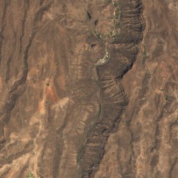
El MolineroBeach0.8 kmWEl Molinero
Satellite: Sentinel-2 cloudless 2016 by EOX IT Services GmbH · CC BY 4.0 · Contains modified Copernicus Sentinel data 2016
Playa de las CarpinterasBeach1.1 kmEPlaya de las Carpinteras
Satellite: Sentinel-2 cloudless 2016 by EOX IT Services GmbH · CC BY 4.0 · Contains modified Copernicus Sentinel data 2016
Santa ÁguedaBeach1.1 kmWSanta Águeda
Summits nearbyMountains of Spain
Photo: Olo72 · CC BY-SA 4.0 · Wikimedia CommonsReport this photo · linked, not stored
Morro de la Agujereada24 km N1,957 mJuly 27°Morro de la Agujereada
Photo: atu60 · CC BY-SA 3.0 · Wikimedia CommonsReport this photo · linked, not stored
Pico de las Nieves24 km N1,948 mJuly 27°Pico de las Nieves
Photo: Basotxerri · CC BY-SA 4.0 · Wikimedia CommonsReport this photo · linked, not stored
Roque Nublo24 km N1,803 mJuly 27°Roque Nublo
Photo: Olo72 · CC BY-SA 4.0 · Wikimedia CommonsReport this photo · linked, not stored
Macizo de Amurga15 km NE1,131 mJuly 27°Macizo de Amurga
Photo: Olo72 · CC BY-SA 4.0 · Wikimedia CommonsReport this photo · linked, not stored
Roque Aguayro24 km NE543 mJuly 27°Roque Aguayro
Photo: Olo72 · CC BY-SA 4.0 · Wikimedia CommonsReport this photo · linked, not stored
Montaña de Masaciega23 km NE275 mJuly 27°Montaña de Masaciega
Stay nearby

Towns close by

Arguineguín
Photo: Bård Ove Myhr · CC BY 2.5 · Wikimedia CommonsReport this photo · linked, not stored

Arguineguín

Canary Islands · 2.0 km W
27°Oct high
5wet days
82score
Arguineguín
Puerto Rico
Photo: Dan Kamminga · CC BY 2.0 · Wikimedia CommonsReport this photo · linked, not stored

Puerto Rico

Canary Islands · 6.1 km NW
27°Oct high
5wet days
82score
Puerto Rico
Playa del Inglés
Photo: Wouter Hagens · Public domain · Wikimedia CommonsReport this photo · linked, not stored

Playa del Inglés

Canary Islands · 8.0 km E
26°Oct high
4wet days
85score
Playa del Inglés
Puerto de Mogán
Photo: Jose A. · CC BY 2.0 · Wikimedia CommonsReport this photo · linked, not stored

Puerto de Mogán

Canary Islands · 12 km NW
27°Oct high
5wet days
81score
Puerto de Mogán
Around here

Arguineguín and around

Arguineguín
Photo: Bård Ove Myhr · CC BY 2.5 · Wikimedia CommonsReport this photo · linked, not stored

Arguineguín

Canary Islands · Spain
Apr–Junbest months
28°July high
10 maltitude
Arguineguín

Nature

Presa de Soria
Photo: The original uploader was Guido.Haeger at German Wikipedia. (Original text: Guid · CC BY-SA 2.0 de · Wikimedia CommonsReport this photo · linked, not stored
17 km N

Presa de Soria

Lake
Presa de Soria
Chira Reservoir
Photo: Markus G. Klötzer · CC BY-SA 4.0 · Wikimedia CommonsReport this photo · linked, not stored
17 km N

Chira Reservoir

Lake · 900 m
Chira Reservoir
Presa de las Niñas
Photo: Markus G. Klötzer / Wikimedia Commons / CC-BY-SA-4.0 If you use this work outsid · CC BY-SA 4.0 · Wikimedia CommonsReport this photo · linked, not stored
18 km N

Presa de las Niñas

Lake
Presa de las Niñas

Mountains

Morro de la Agujereada
Photo: Olo72 · CC BY-SA 4.0 · Wikimedia CommonsReport this photo · linked, not stored
25 km NE

Morro de la Agujereada

1,957 m
Morro de la Agujereada
Pico de las Nieves
Photo: atu60 · CC BY-SA 3.0 · Wikimedia CommonsReport this photo · linked, not stored
25 km NE

Pico de las Nieves

1,948 m
Pico de las Nieves
Roque Nublo
Photo: Basotxerri · CC BY-SA 4.0 · Wikimedia CommonsReport this photo · linked, not stored
25 km N

Roque Nublo

1,803 m
Roque Nublo

Heritage

Maspalomas Lighthouse
Photo: Rimshot · CC BY-SA 3.0 · Wikimedia CommonsReport this photo · linked, not stored
8.4 km E

Maspalomas Lighthouse

bien de interés cultural · 1890
Maspalomas Lighthouse
Necrópolis de Arteara
Photo: Abel-Arkeós · CC BY-SA 4.0 · Wikimedia CommonsReport this photo · linked, not stored
15 km NE

Necrópolis de Arteara

bien de interés cultural
Necrópolis de Arteara
Cañada de los Gatos
Photo: Abel-Arkeós · CC BY-SA 4.0 · Wikimedia CommonsReport this photo · linked, not stored
10 km NW

Cañada de los Gatos

bien de interés cultural
Cañada de los Gatos

Museums

Mundo Aborigen
Photo: User: Bgabel at wikivoyage shared · CC BY-SA 3.0 · Wikimedia CommonsReport this photo · linked, not stored
12 km NE

Mundo Aborigen

Open-air museum
Mundo Aborigen