









Skip to content
Destinations
Weather & climate
Nature
Outdoors
Culture
Events
Sky & live
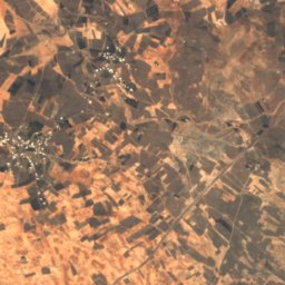
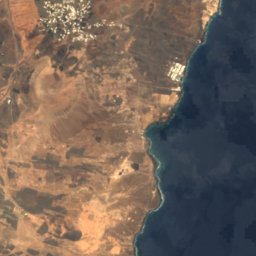
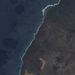
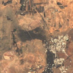
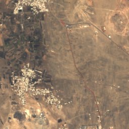
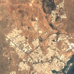
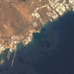
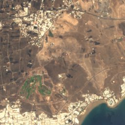
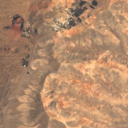
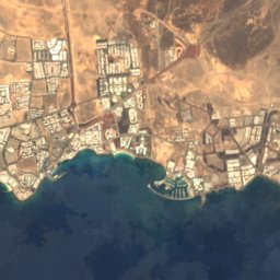
Satellite: Sentinel-2 cloudless 2016 by EOX IT Services GmbH · CC BY 4.0 · Contains modified Copernicus Sentinel data 2016
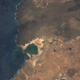
Playa de los Pocillos
Photo: Fry72 (Karel Frydrýšek) · CC BY-SA 4.0 · Wikimedia Commons
Playa de los PocillosReport this photo · linked, not stored
Playa de los Pocillos
Honda
Photo: Dguendel · CC BY 4.0 · Wikimedia Commons
HondaReport this photo · linked, not stored
Honda
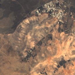
Peñas del Chache
Photo: Frank Vincentz · CC BY-SA 3.0 · Wikimedia Commons
Peñas del ChacheReport this photo · linked, not stored
Peñas del Chache
Famara
Photo: Dguendel · CC BY 3.0 · Wikimedia Commons
FamaraReport this photo · linked, not stored
Famara
BeachTías, Canary Islands

Lima

BeachBest Apr–Jun
Elevation–above sea level
Water qualityExcellentEU · 2025
Nearest townTías4.3 km
28.93° N, 13.61° WUTC+0 · Western European Standard Time
When to goTías · weather score
JanFebMarAprMayJunJulAugSepOctNovDec91October
Best timeApr–Jun
October: high / low26° / 18°
Beach

Lima in brief

Lima is a beach in Tías, Canary Islands, Spain.

The nearest town is Tías, 4.3 km to the NW, where the weather is best in April, May and June.

Bathing water quality (EU, 2025): excellent.

The sea is warmest in September, at about 23°C.

Tías: weather and travel guide

Weather nearby now

Forecast for Tías
32°
Partly cloudy now
Wind5 km/h
Humidity39%
Cloud cover22%
Today
27 Oct
36°
21°
Wed
28 Oct
33°
18°
Thu
29 Oct
30°
17°
Fri
30 Oct
29°
17°
Sat
31 Oct
29°
17°

Model run 00:00 UTCRefreshed several times a day

Sea and air through the year

Sea surface temperature off the coast and the average daily high in Tías, month by month.
Jan19°20°
Feb18°20°
Mar18°21°
Apr19°22°
May20°23°
Jun21°24°
Jul22°26°
Aug22°27°
Sep23°27°
Oct23°26°
Nov21°23°
Dec20°21°
seaair, daily high
When to go

The best months around Lima

Climate of Tías

Month score in Tías

Comfort, dry days and sunshine · out of 100
Map

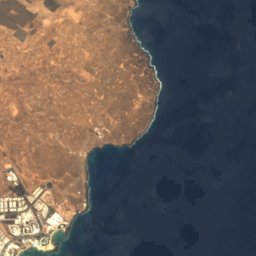
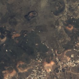
Lima from above

Nature nearbyAll of Spain
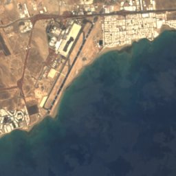
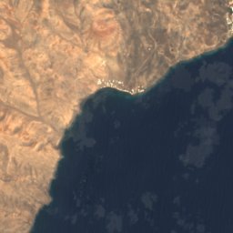
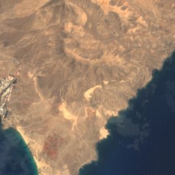
Satellite: Sentinel-2 cloudless 2016 by EOX IT Services GmbH · CC BY 4.0 · Contains modified Copernicus Sentinel data 2016
Playa de MatagordaBeach1.0 kmWPlaya de Matagorda
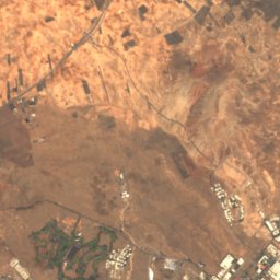
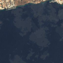
Satellite: Sentinel-2 cloudless 2016 by EOX IT Services GmbH · CC BY 4.0 · Contains modified Copernicus Sentinel data 2016
GuasimetaBeach1.3 kmNEGuasimeta
Photo: Fry72 (Karel Frydrýšek) · CC BY-SA 4.0 · Wikimedia CommonsReport this photo · linked, not stored
Playa de los PocillosBeach2.4 kmWPlaya de los Pocillos
Photo: Dguendel · CC BY 4.0 · Wikimedia CommonsReport this photo · linked, not stored
HondaBeach2.7 kmNEHonda
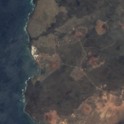
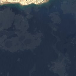
Satellite: Sentinel-2 cloudless 2016 by EOX IT Services GmbH · CC BY 4.0 · Contains modified Copernicus Sentinel data 2016
La Peña GrandeBeach3.1 kmSWLa Peña Grande
Satellite: Sentinel-2 cloudless 2016 by EOX IT Services GmbH · CC BY 4.0 · Contains modified Copernicus Sentinel data 2016
El BarranquilloBeach3.4 kmSWEl Barranquillo
Summits nearbyMountains of Spain
Photo: Frank Vincentz · CC BY-SA 3.0 · Wikimedia CommonsReport this photo · linked, not stored
Peñas del Chache23 km NE672 mJuly 26°Peñas del Chache
Photo: Dguendel · CC BY 3.0 · Wikimedia CommonsReport this photo · linked, not stored
Famara23 km N671 mJuly 25°Famara
Photo: Fry72 (Karel Frydrýšek) · CC BY-SA 4.0 · Wikimedia CommonsReport this photo · linked, not stored
Montaña Blanca, Tías5.5 km NW596 mJuly 25°Montaña Blanca, Tías
Photo: Yummifruitbat · CC BY-SA 2.5 · Wikimedia CommonsReport this photo · linked, not stored
Hacha Grande17 km W562 mJuly 26°Hacha Grande
Photo: Patrice78500 · CC BY-SA 4.0 · Wikimedia CommonsReport this photo · linked, not stored
Montaña Tamia12 km N550 mJuly 25°Montaña Tamia
Photo: Patrice78500 · CC BY-SA 4.0 · Wikimedia CommonsReport this photo · linked, not stored
Montaña Diama11 km NW469 mJuly 25°Montaña Diama
Stay nearby

Towns close by

Tías
Photo: Luis Miguel Bugallo Sánchez (Lmbuga) · CC BY-SA 3.0 · Wikimedia CommonsReport this photo · linked, not stored

Tías

Canary Islands · 4.3 km NW
26°Oct high
3wet days
91score
Tías
Güime
Photo: Alberto-g-rovi · CC BY 4.0 · Wikimedia CommonsReport this photo · linked, not stored

Güime

Canary Islands · 4.6 km N
26°Oct high
3wet days
90score
Güime
Puerto del Carmen
Photo: Punkmorten · Public domain · Wikimedia CommonsReport this photo · linked, not stored

Puerto del Carmen

Canary Islands · 5.2 km W
26°Oct high
3wet days
88score
Puerto del Carmen
Arrecife
Photo: Holger Uwe Schmitt · CC BY-SA 4.0 · Wikimedia CommonsReport this photo · linked, not stored

Arrecife

Canary Islands · 7.2 km NE
27°Oct high
3wet days
87score
Arrecife
Around here

Tías and around

Tías
Photo: Luis Miguel Bugallo Sánchez (Lmbuga) · CC BY-SA 3.0 · Wikimedia CommonsReport this photo · linked, not stored

Tías

Canary Islands · Spain
Apr–Junbest months
26°July high
177 maltitude
Tías

Nature

Cueva de los Naturalistas
Photo: Frank Vincentz · CC BY-SA 3.0 · Wikimedia CommonsReport this photo · linked, not stored
5.1 km N

Cueva de los Naturalistas

Cave · 319 m
Cueva de los Naturalistas
Cueva de Los Naturalistas or de Las Palomas
Photo: IgnacioRomeroPerera · CC BY-SA 4.0 · Wikimedia CommonsReport this photo · linked, not stored
5.8 km N

Cueva de Los Naturalistas or de Las Palomas

Cave
Cueva de Los Naturalistas or de Las Palomas
Timanfaya National Park
Photo: MiljenkoSuljic · CC BY-SA 4.0 · Wikimedia CommonsReport this photo · linked, not stored
14 km NW

Timanfaya National Park

National park · 103 m
Timanfaya National Park

Mountains

Peñas del Chache
Photo: Frank Vincentz · CC BY-SA 3.0 · Wikimedia CommonsReport this photo · linked, not stored
21 km NE

Peñas del Chache

672 m · Famara
Peñas del Chache
Famara
Photo: Dguendel · CC BY 3.0 · Wikimedia CommonsReport this photo · linked, not stored
22 km NE

Famara

671 m
Famara
Monte Corona
Photo: Chrumps · CC BY-SA 4.0 · Wikimedia CommonsReport this photo · linked, not stored
29 km NE

Monte Corona

609 m
Monte Corona

Heritage

Castillo de San José
Photo: Stedewa · CC BY-SA 3.0 es · Wikimedia CommonsReport this photo · linked, not stored
11 km E

Castillo de San José

bien de interés cultural · 1779
Castillo de San José
Castillo de San Gabriel
Photo: Luis Miguel Bugallo Sánchez (Lmbuga) · CC BY-SA 3.0 · Wikimedia CommonsReport this photo · linked, not stored
9.5 km E

Castillo de San Gabriel

bien de interés cultural · 1587
Castillo de San Gabriel
San Ginés
Photo: Wiki05 · CC0 · Wikimedia CommonsReport this photo · linked, not stored
9.5 km E

San Ginés

bien de interés cultural
San Ginés

Museums

Lanzarote Aeronautical Museum
Photo: Photograph by Mike Peel (www.mikepeel.net). · CC BY-SA 4.0 · Wikimedia CommonsReport this photo · linked, not stored
3.5 km E

Lanzarote Aeronautical Museum

Aviation museum
Lanzarote Aeronautical Museum
Satellite: Sentinel-2 cloudless 2016 by EOX IT Services GmbH · CC BY 4.0 · Contains modified Copernicus Sentinel data 2016
3.2 km W

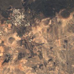
El Taller de Arte

Art museum
El Taller de Arte
Fundación César Manrique
Photo: Balou46 · CC BY-SA 3.0 · Wikimedia CommonsReport this photo · linked, not stored
11 km NE

Fundación César Manrique

Artist museum · 1982
Fundación César Manrique