























Skip to content
Destinations
Weather & climate
Nature
Outdoors
Culture
Events
Sky & live
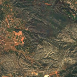
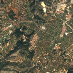
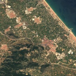
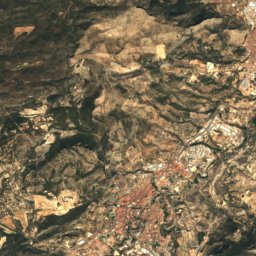
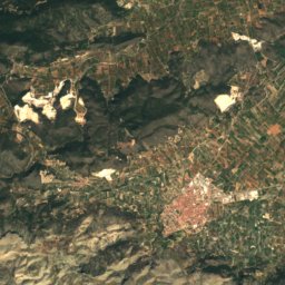
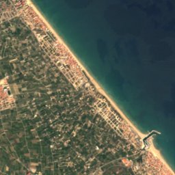
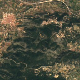
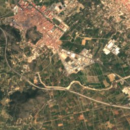
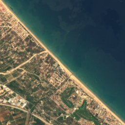
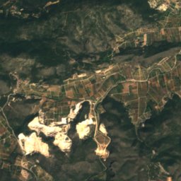
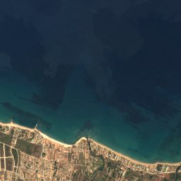
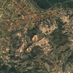
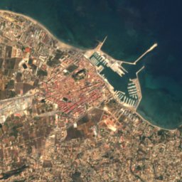
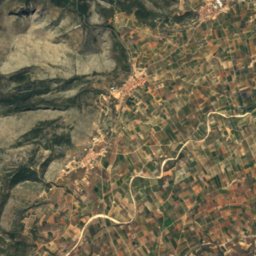
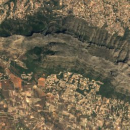
Satellite: Sentinel-2 cloudless 2016 by EOX IT Services GmbH · CC BY 4.0 · Contains modified Copernicus Sentinel data 2016
Platja dels Molins
Photo: Joanbanjo · CC BY-SA 4.0 · Wikimedia Commons
Platja dels MolinsReport this photo · linked, not stored
Platja dels Molins
Platja de l'Almadrava, Valencia
Photo: Joanbanjo · CC BY-SA 4.0 · Wikimedia Commons
Platja de l'Almadrava, ValenciaReport this photo · linked, not stored
Platja de l'Almadrava, Valencia
BeachEls Poblets, Valencia

L'Estanyo

BeachBest Mar–May
Elevation–above sea level
Water qualityExcellentEU · 2025
Nearest townEls Poblets1.6 km
38.86° N, 0.04° EUTC+1 · Central European Standard Time
When to goEls Poblets · weather score
JanFebMarAprMayJunJulAugSepOctNovDec78October
Best timeMar–May
October: high / low25° / 16°
Beach

L'Estanyo in brief

L'Estanyo is a beach in Els Poblets, Valencia, Spain.

The nearest town is Els Poblets, 1.6 km to the SW, where the weather is best in March, April and May.

Bathing water quality (EU, 2025): excellent.

The sea is warmest in August, at about 26°C.

Els Poblets: weather and travel guide

Weather nearby now

Forecast for Els Poblets
27°
Sunny now
Wind9 km/h
Humidity38%
Cloud cover2%
Today
27 Oct
29°
14°
Wed
28 Oct
26°
15°
Thu
29 Oct
26°
14°
Fri
30 Oct
25°
14°
1 mm
Sat
31 Oct
23°
14°
3 mm

Model run 00:00 UTCRefreshed several times a day

Sea and air through the year

Sea surface temperature off the coast and the average daily high in Els Poblets, month by month.
Jan15°17°
Feb14°17°
Mar14°19°
Apr16°21°
May18°24°
Jun21°28°
Jul25°31°
Aug26°31°
Sep25°28°
Oct22°25°
Nov19°20°
Dec16°17°
seaair, daily high
When to go

The best months around L'Estanyo

Climate of Els Poblets

Month score in Els Poblets

Comfort, dry days and sunshine · out of 100
72
Jan
77
Feb
79
Mar
82
Apr
85
May
79
Jun
70
Jul
61
Aug
62
Sep
78
Oct
76
Nov
75
Dec
Map

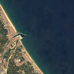
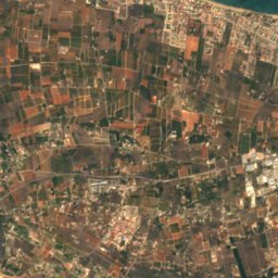
L'Estanyo from above

Nature nearbyAll of Spain
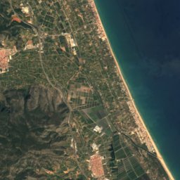
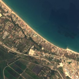
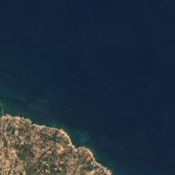
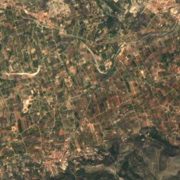
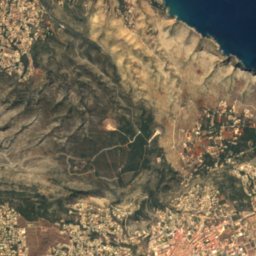
Satellite: Sentinel-2 cloudless 2016 by EOX IT Services GmbH · CC BY 4.0 · Contains modified Copernicus Sentinel data 2016
Racó de la AlbercaBeach0.5 kmERacó de la Alberca
Photo: Joanbanjo · CC BY-SA 4.0 · Wikimedia CommonsReport this photo · linked, not stored
Platja dels MolinsBeach1.2 kmEPlatja dels Molins
Photo: Joanbanjo · CC BY-SA 4.0 · Wikimedia CommonsReport this photo · linked, not stored
Platja de l'Almadrava, ValenciaBeach1.3 kmWPlatja de l'Almadrava, Valencia
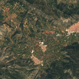
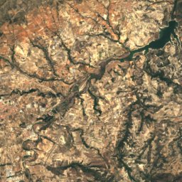
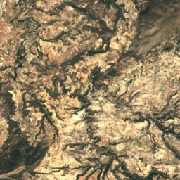
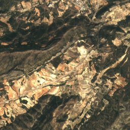
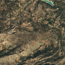
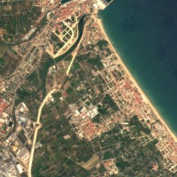
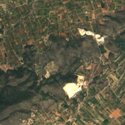
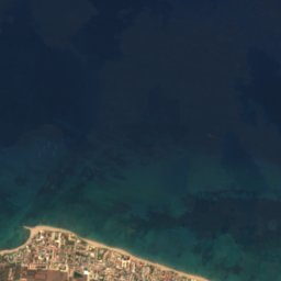
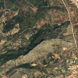
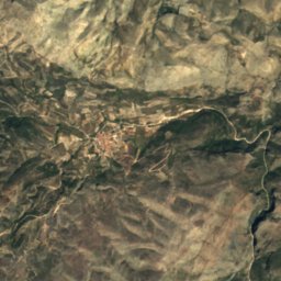
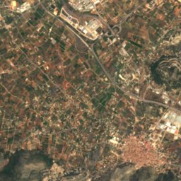
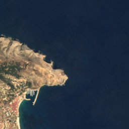
Satellite: Sentinel-2 cloudless 2016 by EOX IT Services GmbH · CC BY 4.0 · Contains modified Copernicus Sentinel data 2016
Girona RiverRiver1.5 kmWGirona River
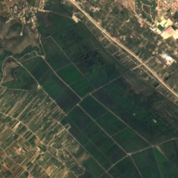
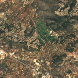
Satellite: Sentinel-2 cloudless 2016 by EOX IT Services GmbH · CC BY 4.0 · Contains modified Copernicus Sentinel data 2016
Platja BonaBeach1.8 kmEPlatja Bona
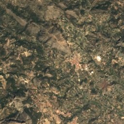
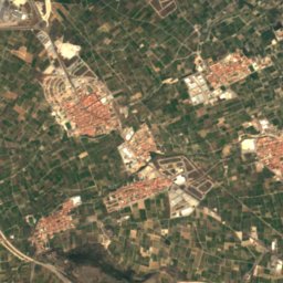
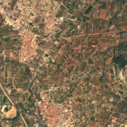
Satellite: Sentinel-2 cloudless 2016 by EOX IT Services GmbH · CC BY 4.0 · Contains modified Copernicus Sentinel data 2016
Setla-MirarrosaBeach2.5 kmWSetla-Mirarrosa
Summits nearbyMountains of Spain
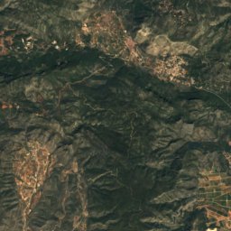
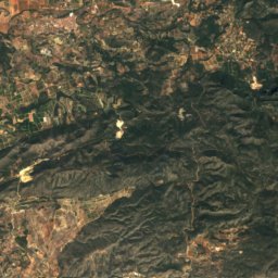
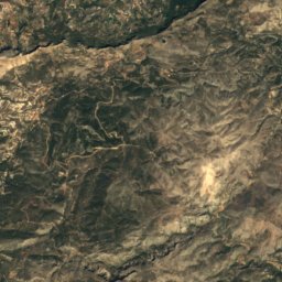
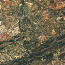
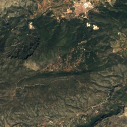
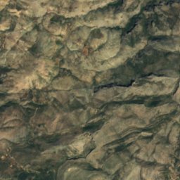
Satellite: Sentinel-2 cloudless 2016 by EOX IT Services GmbH · CC BY 4.0 · Contains modified Copernicus Sentinel data 2016
El Rabat19 km NW176 mJuly 32°El Rabat
Stay nearby

Towns close by

Els Poblets
Photo: Werner Wilmes · CC BY 2.0 · Wikimedia CommonsReport this photo · linked, not stored

Els Poblets

Valencia · 1.6 km SW
25°Oct high
9wet days
78score
Els Poblets
El Verger
Photo: Joanbanjo · CC BY-SA 3.0 · Wikimedia CommonsReport this photo · linked, not stored

El Verger

Valencia · 2.8 km SW
25°Oct high
9wet days
78score
El Verger
Ondara
Photo: Joanbanjo · CC BY-SA 3.0 · Wikimedia CommonsReport this photo · linked, not stored

Ondara

Valencia · 4.0 km SW
25°Oct high
9wet days
78score
Ondara
Beniarbeig
Photo: Espencat · Public domain · Wikimedia CommonsReport this photo · linked, not stored

Beniarbeig

Valencia · 5.4 km SW
25°Oct high
8wet days
80score
Beniarbeig
Around here

Els Poblets and around

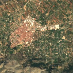
Els Poblets
Photo: Werner Wilmes · CC BY 2.0 · Wikimedia CommonsReport this photo · linked, not stored

Els Poblets

Valencia · Spain
Mar–Maybest months
31°July high
13 maltitude
Els Poblets

Nature

Cova de l'Aigua, Valencia
Photo: Joanbanjo · CC BY-SA 4.0 · Wikimedia CommonsReport this photo · linked, not stored
8.8 km SE

Cova de l'Aigua, Valencia

Cave
Cova de l'Aigua, Valencia
Cova del Barranc del Migdia
Photo: Joanbanjo · CC BY-SA 4.0 · Wikimedia CommonsReport this photo · linked, not stored
11 km SE

Cova del Barranc del Migdia

Cave
Cova del Barranc del Migdia
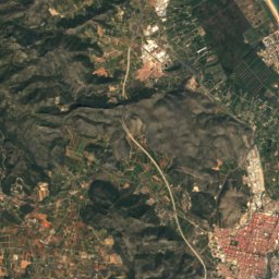
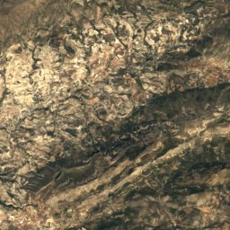
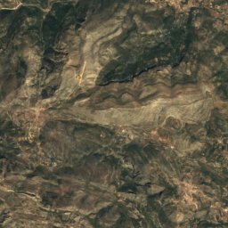
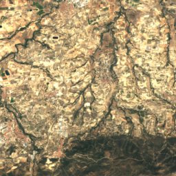
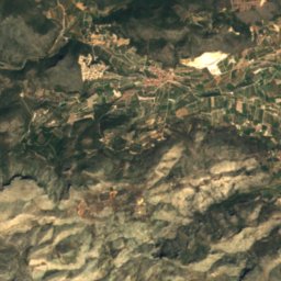
Satellite: Sentinel-2 cloudless 2016 by EOX IT Services GmbH · CC BY 4.0 · Contains modified Copernicus Sentinel data 2016
1.2 km N

Girona River

River
Girona River

Mountains

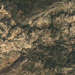
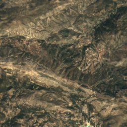
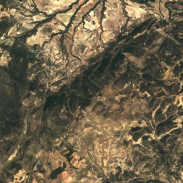
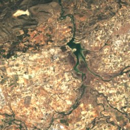
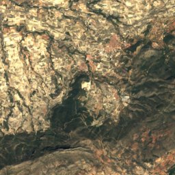
Satellite: Sentinel-2 cloudless 2016 by EOX IT Services GmbH · CC BY 4.0 · Contains modified Copernicus Sentinel data 2016
33 km SW

Serra d'Aitana

1,558 m · Baetic System
Serra d'Aitana
Puig Campana
Photo: Rodelar · CC BY-SA 3.0 · Wikimedia CommonsReport this photo · linked, not stored
34 km SW

Puig Campana

1,406 m · Prebaetic System
Puig Campana
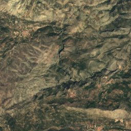
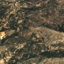
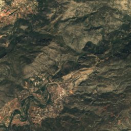
Satellite: Sentinel-2 cloudless 2016 by EOX IT Services GmbH · CC BY 4.0 · Contains modified Copernicus Sentinel data 2016
24 km W

Circ de la Safor

1,012 m · Sierra del Azafor
Circ de la Safor

Heritage

Church of Our Lady of the Rosary, El Verger
Photo: Joanbanjo · CC BY-SA 3.0 · Wikimedia CommonsReport this photo · linked, not stored
1.6 km SW

Church of Our Lady of the Rosary, El Verger

Property of Local Relevance · 1732
Church of Our Lady of the Rosary, El Verger
Torre de l'Almadrava
Photo: Joanbanjo · CC BY-SA 3.0 · Wikimedia CommonsReport this photo · linked, not stored
1.1 km N

Torre de l'Almadrava

bien de interés cultural · 1553
Torre de l'Almadrava
Bullring of Ondara
Photo: Joanbanjo · CC BY-SA 3.0 · Wikimedia CommonsReport this photo · linked, not stored
2.9 km S

Bullring of Ondara

Property of Local Relevance · 1901
Bullring of Ondara

Museums

Museu Arqueològic de Dénia
Photo: Joanbanjo · Public domain · Wikimedia CommonsReport this photo · linked, not stored
7.6 km E

Museu Arqueològic de Dénia

Archaeological museum · 1957
Museu Arqueològic de Dénia
Museu Soler Blasco
Photo: Joanbanjo · CC BY-SA 3.0 · Wikimedia CommonsReport this photo · linked, not stored
14 km SE

Museu Soler Blasco

Archaeological museum · 1969
Museu Soler Blasco
Museu Etnològic de Dénia
Photo: Joanbanjo · CC BY-SA 3.0 · Wikimedia CommonsReport this photo · linked, not stored
7.5 km E

Museu Etnològic de Dénia

Ethnographic museum
Museu Etnològic de Dénia