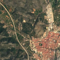
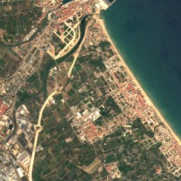






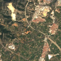
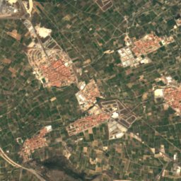
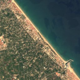





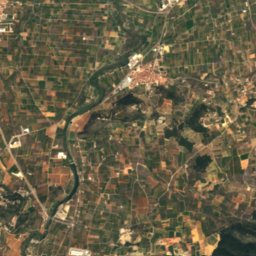
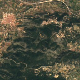
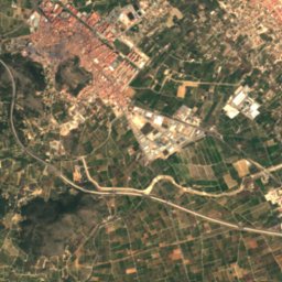
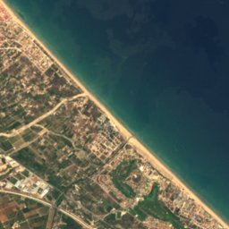





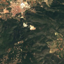
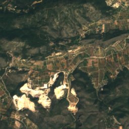
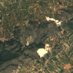
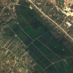
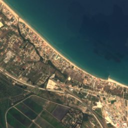
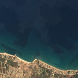
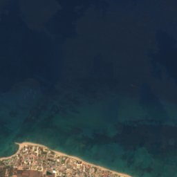


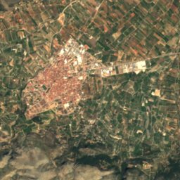
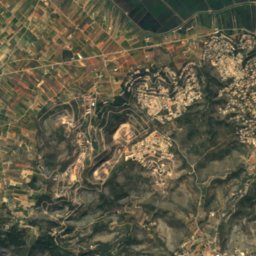
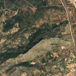
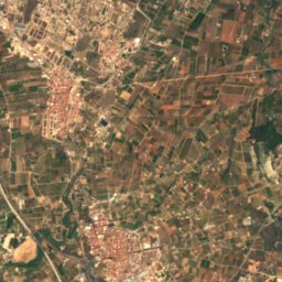
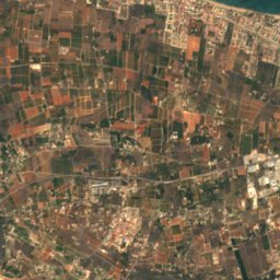
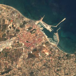
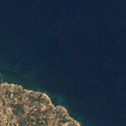
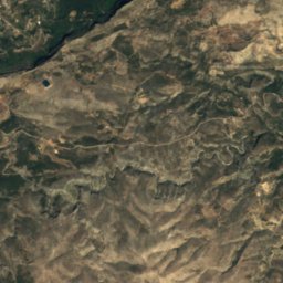
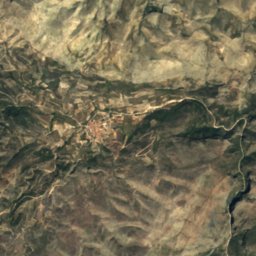
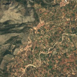
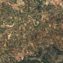
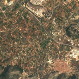
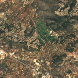
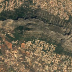
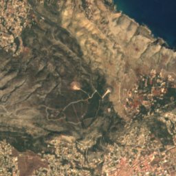
Satellite: Sentinel-2 cloudless 2016 by EOX IT Services GmbH · CC BY 4.0 · Contains modified Copernicus Sentinel data 2016

Photo: Jorsape · CC BY-SA 3.0 · Wikimedia Commons
Platja de les DevesesReport this photo · linked, not stored
Platja de les DevesesPlatja de les DevesesReport this photo · linked, not stored
BeachEl Verger, Valencia
Les Devesses
BeachBest Mar–May
Elevation–above sea level
Water qualityExcellentEU · 2025
Nearest townEl Verger4.2 km
38.88° N, 0.02° WUTC+1 · Central European Standard Time
When to goEl Verger · weather score
Best timeMar–May
October: high / low25° / 16°
Beach
Les Devesses in brief
Les Devesses is a beach in El Verger, Valencia, Spain.
The nearest town is El Verger, 4.2 km to the SE, where the weather is best in March, April and May.
Bathing water quality (EU, 2025): excellent.
The sea is warmest in August, at about 26°C.
Weather nearby now
Forecast for El Verger27°
Sunny now
Today
27 Oct
29°
14°
Wed
28 Oct
26°
15°
Thu
29 Oct
26°
14°
Fri
30 Oct
25°
14°
1 mm
Sat
31 Oct
24°
14°
3 mm
Model run 00:00 UTCRefreshed several times a day
Sea and air through the year
Sea surface temperature off the coast and the average daily high in El Verger, month by month.Jan15°17°
Feb14°17°
Mar14°19°
Apr16°21°
May18°25°
Jun21°28°
Jul25°31°
Aug26°31°
Sep25°28°
Oct22°25°
Nov19°20°
Dec16°17°
seaair, daily high
When to go
Climate of El VergerThe best months around Les Devesses
Month score in El Verger
Comfort, dry days and sunshine · out of 10072
Jan
77
Feb
79
Mar
82
Apr
85
May
78
Jun
69
Jul
61
Aug
62
Sep
78
Oct
76
Nov
75
Dec
Map
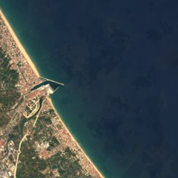
Les Devesses from above
Nature nearbyAll of Spain

Satellite: Sentinel-2 cloudless 2016 by EOX IT Services GmbH · CC BY 4.0 · Contains modified Copernicus Sentinel data 2016
Satellite: Sentinel-2 cloudless 2016 by EOX IT Services GmbH · CC BY 4.0 · Contains modified Copernicus Sentinel data 2016
Satellite: Sentinel-2 cloudless 2016 by EOX IT Services GmbH · CC BY 4.0 · Contains modified Copernicus Sentinel data 2016
Satellite: Sentinel-2 cloudless 2016 by EOX IT Services GmbH · CC BY 4.0 · Contains modified Copernicus Sentinel data 2016
Satellite: Sentinel-2 cloudless 2016 by EOX IT Services GmbH · CC BY 4.0 · Contains modified Copernicus Sentinel data 2016
Summits nearbyMountains of Spain
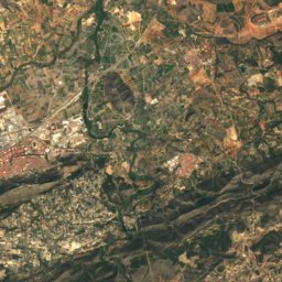
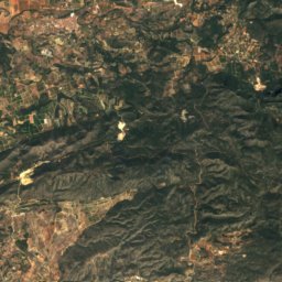
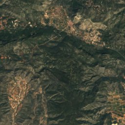
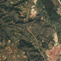
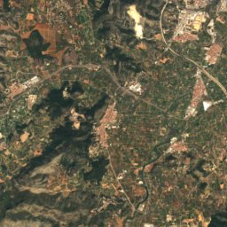
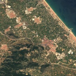
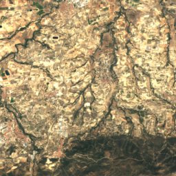
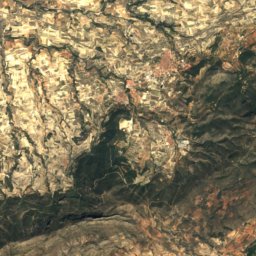
Satellite: Sentinel-2 cloudless 2016 by EOX IT Services GmbH · CC BY 4.0 · Contains modified Copernicus Sentinel data 2016
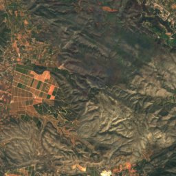
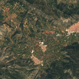
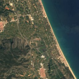

Satellite: Sentinel-2 cloudless 2016 by EOX IT Services GmbH · CC BY 4.0 · Contains modified Copernicus Sentinel data 2016


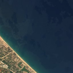
Stay nearby
Towns close by


Around here
El Verger and around
Nature


Satellite: Sentinel-2 cloudless 2016 by EOX IT Services GmbH · CC BY 4.0 · Contains modified Copernicus Sentinel data 2016
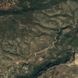
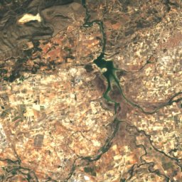
Girona River
River
Mountains
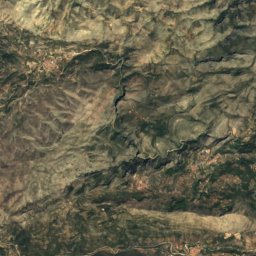
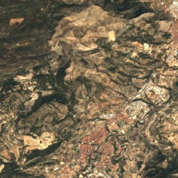
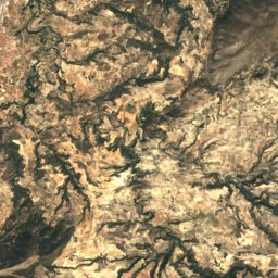
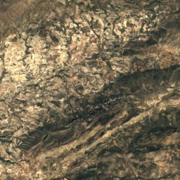
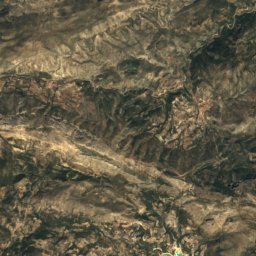
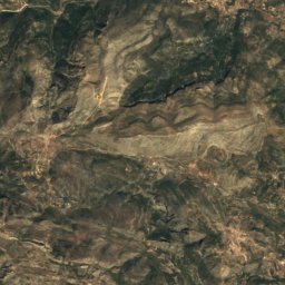
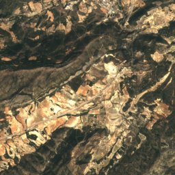
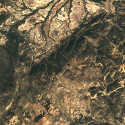
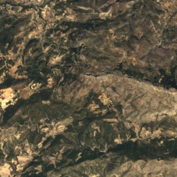
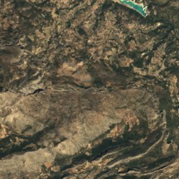
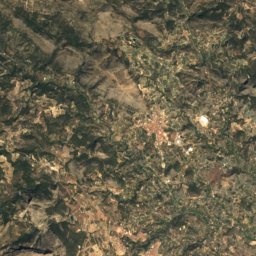
Satellite: Sentinel-2 cloudless 2016 by EOX IT Services GmbH · CC BY 4.0 · Contains modified Copernicus Sentinel data 2016
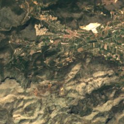
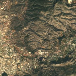
Serra d'Aitana
1,558 m · Baetic System

Satellite: Sentinel-2 cloudless 2016 by EOX IT Services GmbH · CC BY 4.0 · Contains modified Copernicus Sentinel data 2016
Circ de la Safor
1,012 m · Sierra del Azafor
Heritage
Satellite: Sentinel-2 cloudless 2016 by EOX IT Services GmbH · CC BY 4.0 · Contains modified Copernicus Sentinel data 2016
Church of Our Lady of the Rosary, El Verger
Property of Local Relevance · 1732


